Ash Moor Plantation
Wood, Forest in Devon Torridge
England
Ash Moor Plantation

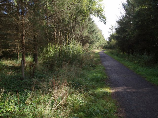
Ash Moor Plantation is a sprawling woodland located in the county of Devon, England. Covering a vast area of approximately 500 hectares, it is a prominent feature of the local landscape. The plantation primarily consists of ash trees, which lend their name to the site. These majestic trees create a dense canopy, providing shade and shelter to a diverse range of flora and fauna.
The plantation is situated in a low-lying area, with the River Ash meandering through its heart. This river not only adds to the scenic beauty of the woodland but also serves as a vital water source for the surrounding ecosystem. The rich and fertile soil, coupled with the moderate climate of Devon, creates the perfect conditions for the growth of various plant species.
Ash Moor Plantation is a haven for wildlife enthusiasts, attracting a wide array of animals. It is home to numerous bird species, including woodpeckers, thrushes, and owls, which find sanctuary amidst the dense foliage. The woodland also supports a population of small mammals such as squirrels, rabbits, and foxes.
The plantation offers a network of well-maintained footpaths, allowing visitors to explore the woodland at their own pace. Nature lovers can enjoy leisurely walks, taking in the sights and sounds of the serene surroundings. The plantation is particularly popular among photographers and artists, who find inspiration in its natural beauty.
Overall, Ash Moor Plantation is a cherished natural asset in Devon, providing a tranquil escape for both locals and tourists. Its diverse ecosystem, scenic landscapes, and abundant wildlife make it a must-visit destination for anyone seeking a connection with nature.
If you have any feedback on the listing, please let us know in the comments section below.
Ash Moor Plantation Images
Images are sourced within 2km of 50.855821/-4.0904427 or Grid Reference SS5208. Thanks to Geograph Open Source API. All images are credited.


Ash Moor Plantation is located at Grid Ref: SS5208 (Lat: 50.855821, Lng: -4.0904427)
Administrative County: Devon
District: Torridge
Police Authority: Devon and Cornwall
What 3 Words
///funnels.buddy.arose. Near Hatherleigh, Devon
Nearby Locations
Related Wikis

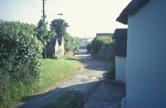
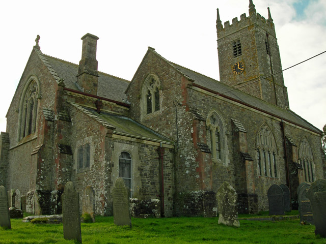
Petrockstowe
Petrockstowe (or Petrockstow) is a small village and civil parish in the district of Torridge in Northern Devon, England. Its population in 2001 was 379...

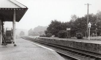
Meeth Halt railway station
Opened in 1925, Meeth Halt was a small railway station on the North Devon and Cornwall Junction Light Railway, a private line until it became part of the...
Meeth
Meeth is a small village roughly 13.5 km (8.4 mi) north-northwest of Okehampton and 40.7 km (25.3 mi) west-northwest of Exeter. It lies to the west of...

Petrockstow railway station
Petrockstow railway station was a station serving the village of Petrockstowe in West Devon, which is about one mile away. The station was, throughout...

Huish, Torridge
Huish (anciently Hiwis) is a small village, civil parish and former manor in the Torridge district of Devon, England. The eastern boundary of the parish...
Hatherleigh railway station
Hatherleigh Railway Station was a station on the North Devon and Cornwall Junction Light Railway between Torrington and Halwill Junction, serving the town...

River Okement
The River Okement is a tributary of the River Torridge in Devon, England. It rises at two places in Dartmoor, as the West Okement and the East Okement...

River Lew
The River Lew can refer to either of two short rivers that lie close to each other in Devon, England. The more northerly of the two rises just south of...
Nearby Amenities
Located within 500m of 50.855821,-4.0904427Have you been to Ash Moor Plantation?
Leave your review of Ash Moor Plantation below (or comments, questions and feedback).