Aylescott Copse

Wood, Forest in Devon North Devon

England

Aylescott Copse

The view eastwards across a new roundabout at Lynton Cross
The view eastwards across a new roundabout at Lynton Cross Credit: Roger A Smith

Aylescott Copse, located in Devon, is a picturesque woodland area renowned for its natural beauty and ecological significance. Covering a vast expanse, the copse is home to a diverse array of flora and fauna, making it an ideal destination for nature enthusiasts and wildlife lovers.

The copse predominantly consists of a mixture of deciduous and coniferous trees, including oak, beech, and pine, which create a rich and vibrant tapestry of colors throughout the seasons. The dense canopy provides a sanctuary for various bird species, such as woodpeckers, tawny owls, and song thrushes, filling the air with their melodious calls.

Walking through the copse, visitors can explore a network of well-maintained trails that wind their way through the woodland, offering opportunities for leisurely strolls and peaceful contemplation. The paths are lined with an assortment of wildflowers and ferns, adding to the copse's natural charm.

Aylescott Copse also boasts a diverse range of wildlife, with sightings of deer, badgers, and foxes being common occurrences. The copse's secluded location and abundant food sources make it an ideal habitat for these creatures, allowing them to thrive in harmony with their surroundings.

In addition to its ecological significance, Aylescott Copse offers recreational activities such as picnicking, photography, and nature study. Its tranquil atmosphere and unspoiled beauty make it an idyllic spot for those seeking a peaceful retreat from the hustle and bustle of everyday life.

Overall, Aylescott Copse is a valuable natural asset, providing a haven for both flora and fauna while offering visitors an enchanting experience in the heart of Devon's countryside.

If you have any feedback on the listing, please let us know in the comments section below.

Aylescott Copse Images

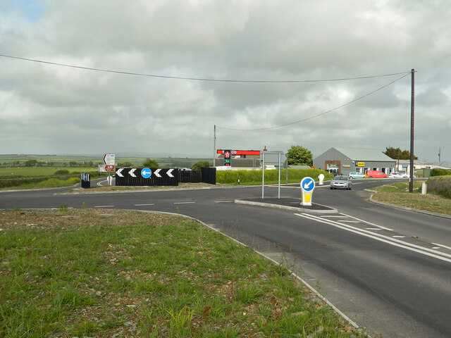
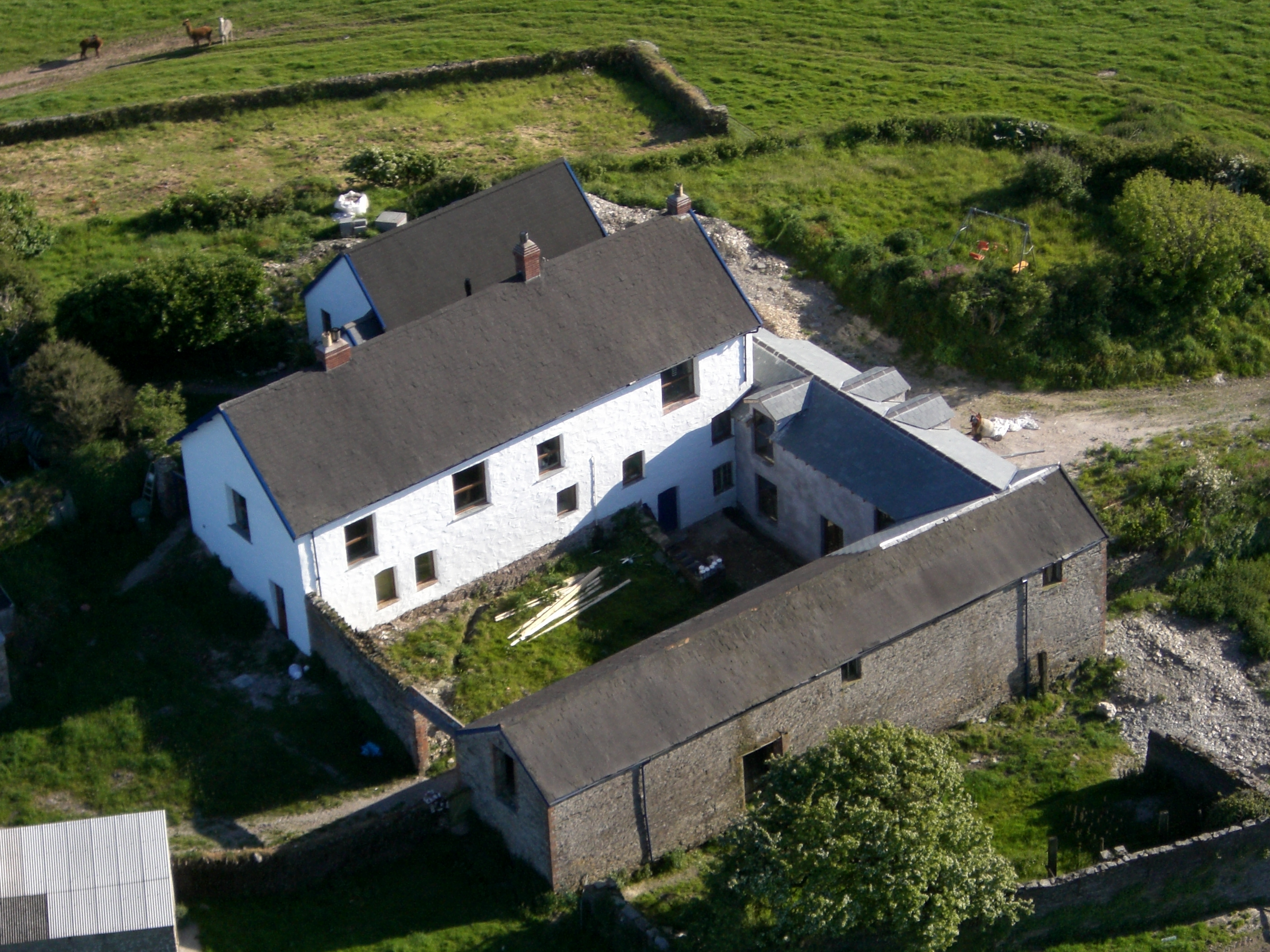
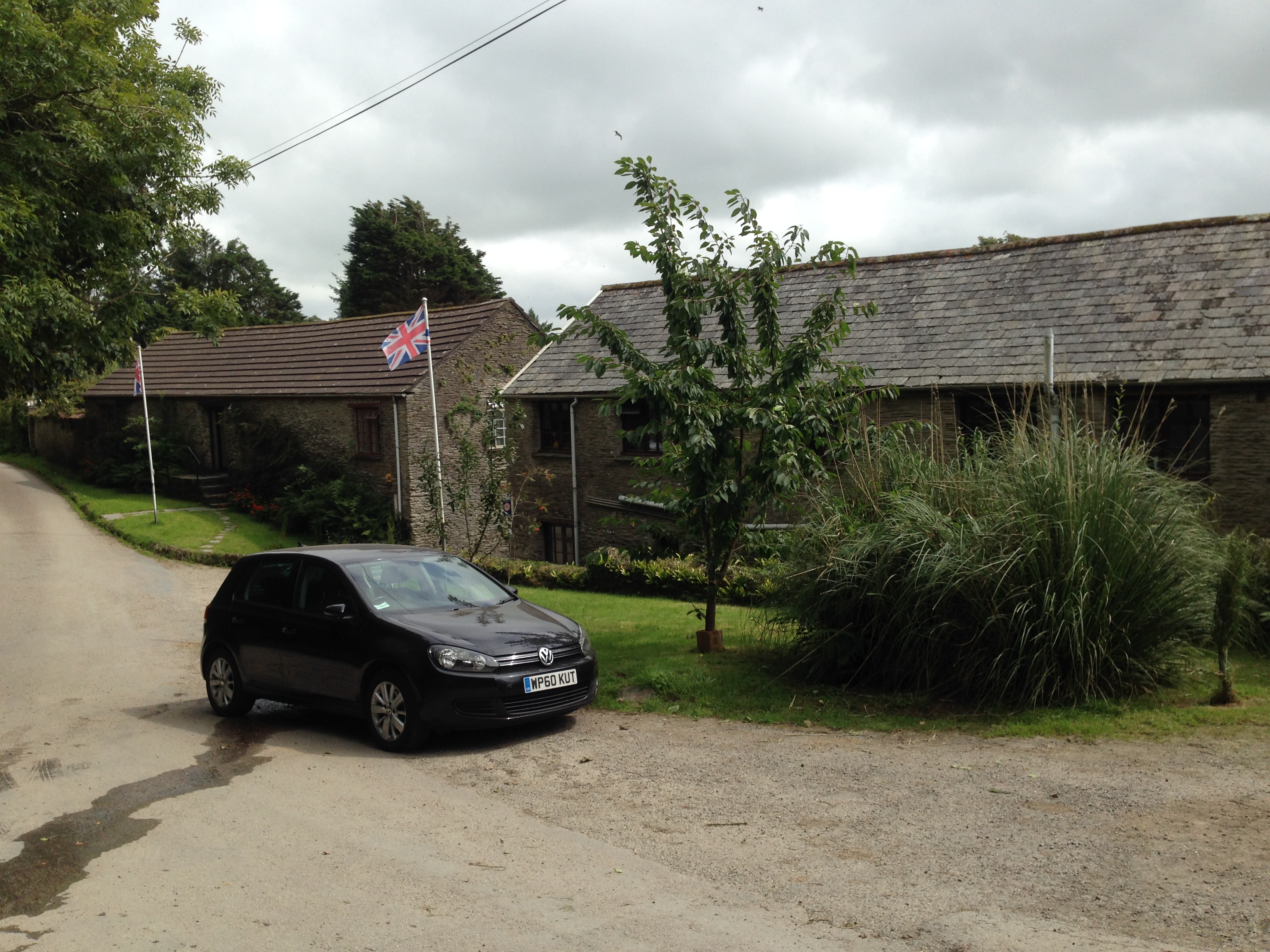
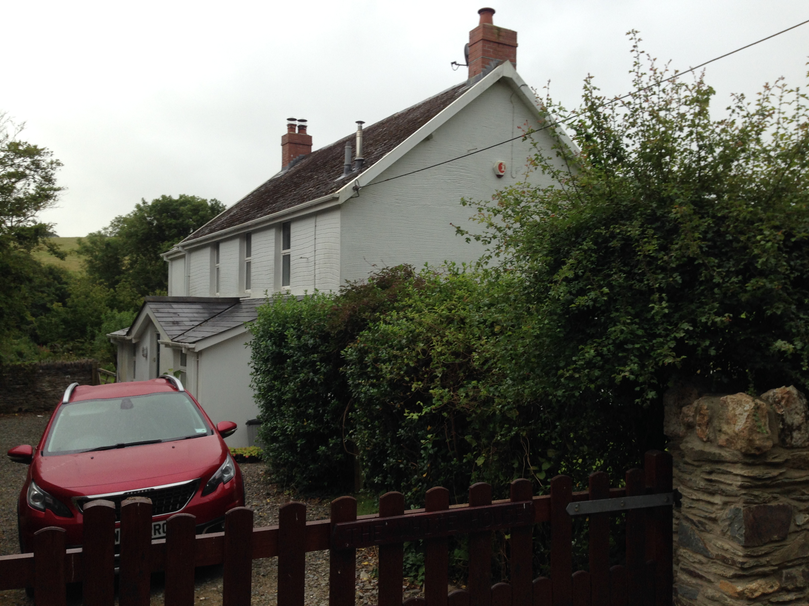
Images are sourced within 2km of 51.158707/-4.1057535 or Grid Reference SS5242. Thanks to Geograph Open Source API. All images are credited.

The view eastwards across a new roundabout at Lynton Cross
The view westward across a new roundabout at Lynton Cross
Looking southeast across a new roundabout at Lynton Cross See also: <a href="https://www.geograph.org.uk/photo/788776">SS5343 : Lynton Cross with On A Hill Garage in the background</a>
Looking southeast across a new roundabout at Lynton Cross
A new roundabout at Lynton Cross seen from the south See also: <a href="https://www.geograph.org.uk/photo/1743896">SS5343 : Approaching Lynton Cross on the B3230</a>
A new roundabout at Lynton Cross seen from the south
Green Park Farm on Higher Cheglinch Lane Farms and  farm buildings in the geographical area North Devon. (The administrative area governed by North Devon District Council covers a slightly different area.)
Green Park Farm on Higher Cheglinch Lane
Farms and farm buildings in the geographical area North Devon. (The administrative area governed by North Devon District Council covers a slightly different area.)
Yellow Ayes Farm on the Ilfracombe Road On earlier maps this was entered as 16 Acre Farm. The nearby dwelling was referred to as Yelloways. On a 1945 RAF aerial map the farm doesn't exist.
Yellow Ayes Farm on the Ilfracombe Road
On earlier maps this was entered as 16 Acre Farm. The nearby dwelling was referred to as Yelloways. On a 1945 RAF aerial map the farm doesn't exist.
Bittadon : Texaco On A Hill Garage A petrol station alongside the A3123.
Bittadon : Texaco On A Hill Garage
A petrol station alongside the A3123.
One of the first Turbines standing proud at the Fullabrook Down Wind Farm Fullabrook Wind Farm. The turbines are located in a total of 8 grid squares.
One of the first Turbines standing proud at the Fullabrook Down Wind Farm
Fullabrook Wind Farm. The turbines are located in a total of 8 grid squares.
Wind Turbine Blades arriving at Fullabrook Down Wind Farm
Turbine Blades arriving at the Fullabrook Down Wind Farm Fullabrook Wind Farm. The turbines are located in a total of 8 grid squares.
Turbine Blades arriving at the Fullabrook Down Wind Farm
Fullabrook Wind Farm. The turbines are located in a total of 8 grid squares.
Wind Turbines on Fullabrook Wind Farm The houses in the foreground are at Chivenor.
Wind Turbines on Fullabrook Wind Farm
The houses in the foreground are at Chivenor.
Where there were two, now there are three See also: <a href="https://www.geograph.org.uk/photo/2375357">SS5341 : Wind Turbines on Fullabrook Wind Farm</a>
Where there were two, now there are three
Access to a field on Metcombe Down
Driveway to Crackaway Barton
A narrow lane get narrower
What harbour?
What harbour?
Roadworks at Hore Down Farm
Show me another place!

Aylescott Copse is located at Grid Ref: SS5242 (Lat: 51.158707, Lng: -4.1057535)

Administrative County: Devon

District: North Devon

Police Authority: Devon and Cornwall

What 3 Words

///slap.finishers.agreement. Near Ilfracombe, Devon

Nearby Locations

Aylescott Copse

Related Wikis

West Down

West Down is a small village and civil parish located in North Devon, England. It is to be found on the route between Braunton and Ilfracombe, 9 miles...

Bittadon

Bittadon is a civil parish and former manor in the North Devon district of Devon, England. According to the 2001 census the parish had a population of...

Mullacott

Mullacott is a small settlement on the A361 road between Ilfracombe and Barnstaple, in Devon, England. It is referred to as 'Mullacott Cross' and forms...

Trimstone

Trimstone is a small hamlet and manor in North Devon, England. It is a quiet, agricultural location, which is best known for its Manor house, which dates...

Bradwell, Devon

Bradwell is a village in Devon, England.

Slade Reservoirs

The Slade Reservoirs are twin reservoirs in the North Devon town of Ilfracombe, England. They are owned by South West Water, and leased to South West Lakes...

Berry Down Cross

Berry Down Cross is a village in Devon, England. The village has two Bronze Age round barrows located within it and both are listed as scheduled monuments...

Mortehoe and Woolacombe railway station

Mortehoe and Woolacombe railway station was a station on the London and South Western Railway Ilfracombe Branch Line between Barnstaple and Ilfracombe...

Nearby Amenities

Located within 500m of 51.158707,-4.1057535
Power: pole
Lat/Long: 51.1564294/-4.1081089
Power: pole
Lat/Long: 51.1581032/-4.1077951
Power: pole
Lat/Long: 51.15902/-4.1076019
Power: pole
Lat/Long: 51.160968/-4.1072398
Power: pole
Lat/Long: 51.1618595/-4.1070816
Power: pole
Lat/Long: 51.1627358/-4.1069073
Dune Cottage Holidays
Tourism: chalet
Lat/Long: 51.1568348/-4.102428
The data included in this document is from www.openstreetmap.org. The data is made available under ODbL.

Have you been to Aylescott Copse?

Leave your review of Aylescott Copse below (or comments, questions and feedback).