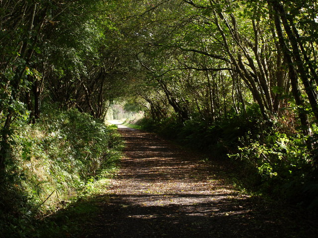
Heathmoor Plantation
Wood, Forest in Devon Torridge
England
Heathmoor Plantation
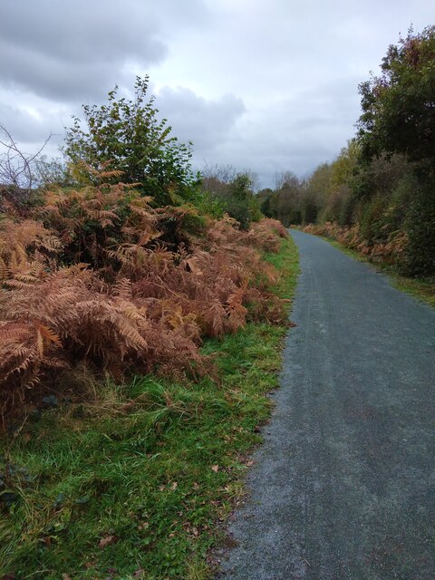
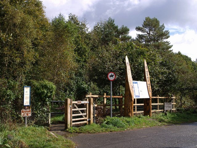
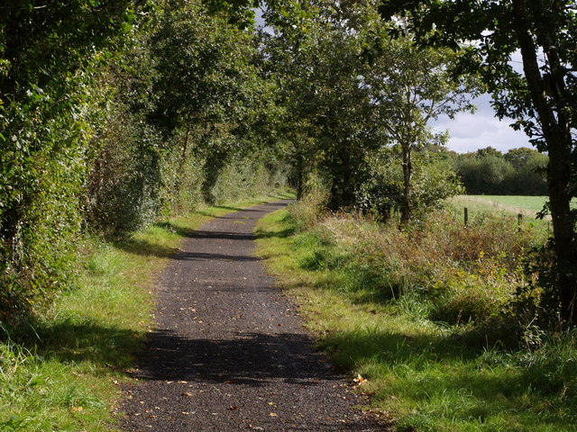
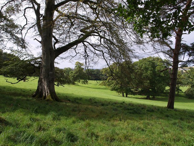
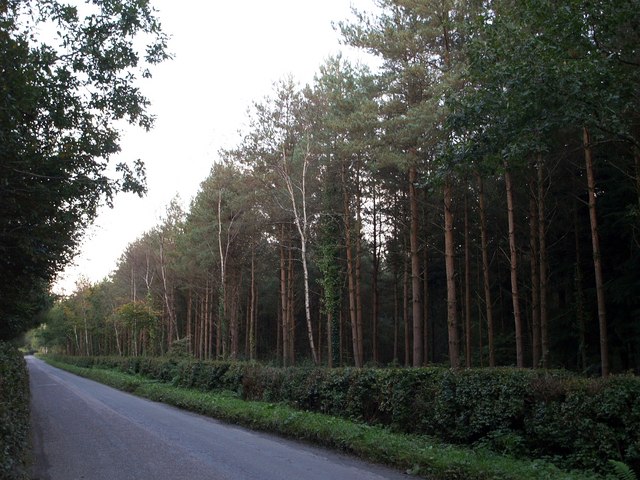
Heathmoor Plantation is a picturesque woodland located in Devon, England. Nestled in the heart of the county, the plantation is known for its stunning natural beauty and diverse range of flora and fauna. Covering an area of approximately 100 acres, it offers a tranquil escape from the hustle and bustle of everyday life.
The plantation is predominantly composed of ancient oak trees, which provide a dense canopy and create a sense of enchantment as sunlight filters through the leaves. The forest floor is adorned with a rich carpet of bluebells, wildflowers, and ferns, adding a splash of color to the green surroundings.
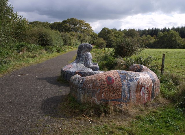
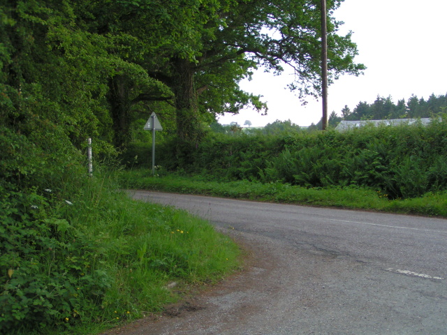
Heathmoor Plantation is a haven for wildlife enthusiasts, as it is home to a wide variety of animal species. Visitors can spot deer, squirrels, and a multitude of bird species, including woodpeckers and owls. The plantation also boasts several well-maintained trails, which allow visitors to explore the woodland at their own pace.
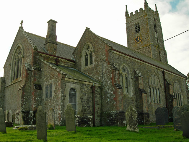
For those interested in history, Heathmoor Plantation has a fascinating past. It was originally part of a larger estate and has been carefully managed and preserved for centuries. The plantation's historical significance is evident in the ancient stone walls and remnants of old buildings that can still be found scattered throughout the woodland.
Overall, Heathmoor Plantation is a natural treasure in Devon. Its idyllic setting, abundant wildlife, and rich history make it a must-visit destination for nature lovers and history enthusiasts alike.
If you have any feedback on the listing, please let us know in the comments section below.
Heathmoor Plantation Images
Images are sourced within 2km of 50.875584/-4.1071909 or Grid Reference SS5110. Thanks to Geograph Open Source API. All images are credited.


Heathmoor Plantation is located at Grid Ref: SS5110 (Lat: 50.875584, Lng: -4.1071909)
Administrative County: Devon
District: Torridge
Police Authority: Devon and Cornwall
What 3 Words
///youths.logs.playroom. Near Hatherleigh, Devon
Related Wikis

Petrockstow railway station
Petrockstow railway station was a station serving the village of Petrockstowe in West Devon, which is about one mile away. The station was, throughout...

Petrockstowe
Petrockstowe (or Petrockstow) is a small village and civil parish in the district of Torridge in Northern Devon, England. Its population in 2001 was 379...

Huish, Torridge
Huish (anciently Hiwis) is a small village, civil parish and former manor in the Torridge district of Devon, England. The eastern boundary of the parish...
Heanton Satchville, Petrockstowe
Heanton Satchville was a historic manor in the parish of Petrockstowe, North Devon, England. With origins in the Domesday manor of Hantone, it was first...

Merton, Devon
Merton is a village, ecclesiastical parish, former manor and civil parish administered by the local government district of Torridge, Devon, England. The...

Barometer World
Barometer World was the world's only barometer museum, and was located in the village of Merton, near Great Torrington, Devon, England. Barometer World...

Marland Works railway station
Marlands Works was a busy industrial site for just over a century, firstly on the Torrington and Marland Railway, built to carry bricks and clay on a three...

Dunsbear Halt railway station
Dunsbear Halt was a relatively well-used halt on the initially privately run North Devon and Cornwall Junction Light Railway. Opened in 1925 and closed...
Nearby Amenities
Located within 500m of 50.875584,-4.1071909Have you been to Heathmoor Plantation?
Leave your review of Heathmoor Plantation below (or comments, questions and feedback).