Ashbury Plantation
Wood, Forest in Devon West Devon
England
Ashbury Plantation
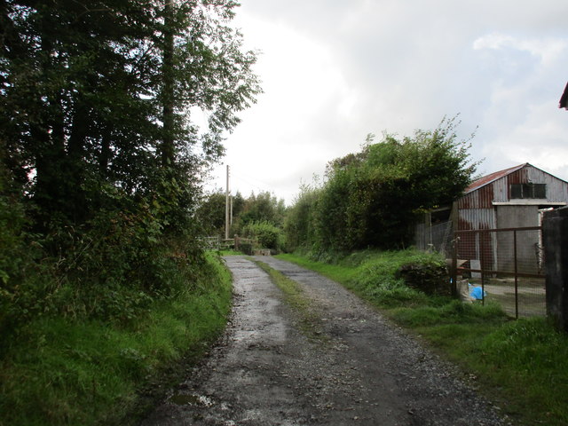
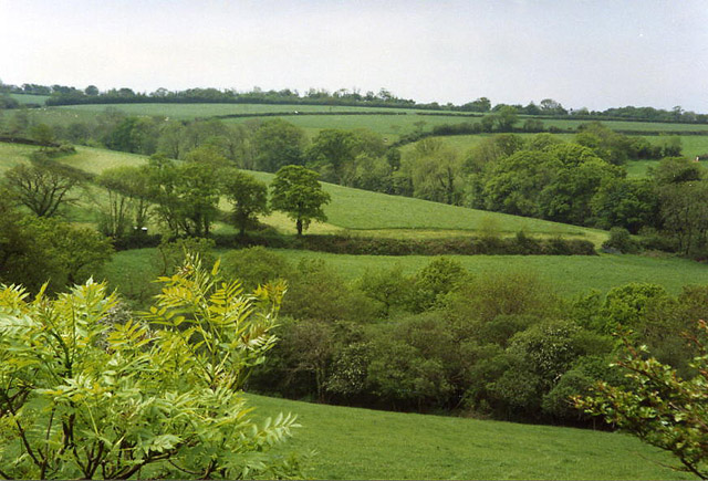
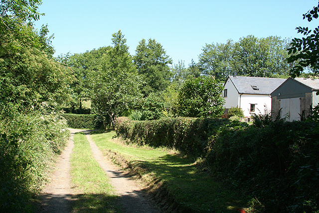
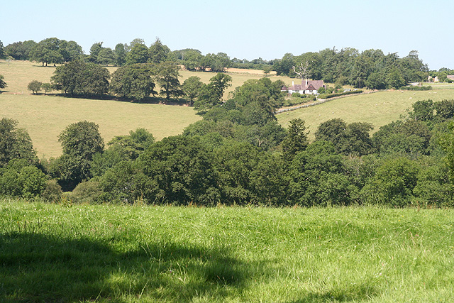
Ashbury Plantation is an enchanting woodland located in Devon, England. Situated in the heart of the county, this breathtaking forest covers an area of approximately 200 acres and is renowned for its tranquil ambiance and stunning natural beauty.
The plantation is characterized by its dense canopy of towering trees, predominantly consisting of oak, beech, and ash. The lush undergrowth is adorned with a vibrant array of wildflowers, creating a picturesque setting that attracts nature enthusiasts and photographers alike.
Visitors to Ashbury Plantation can explore its extensive network of well-maintained walking trails, which wind through the forest and offer glimpses of its diverse flora and fauna. These trails cater to all abilities, ranging from leisurely strolls to more challenging hikes, allowing individuals of all ages to immerse themselves in the peaceful surroundings.
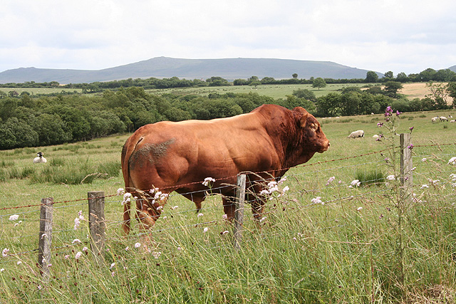
The plantation is also home to an abundance of wildlife, making it a haven for nature lovers. Squirrels, badgers, and deer can often be spotted darting through the trees, while a multitude of bird species fill the air with their melodic songs.
Ashbury Plantation offers a range of amenities to enhance the visitor experience. Picnic areas are scattered throughout the forest, providing the perfect opportunity to relax and enjoy a meal amidst nature. Additionally, the plantation offers guided tours, educational programs, and workshops, allowing visitors to deepen their understanding and appreciation of the woodland ecosystem.
Whether seeking solace in the serenity of nature, embarking on an adventure, or simply looking to admire the scenic splendor, Ashbury Plantation is a captivating destination that promises unforgettable experiences for all who visit.
If you have any feedback on the listing, please let us know in the comments section below.
Ashbury Plantation Images
Images are sourced within 2km of 50.749782/-4.1055895 or Grid Reference SX5196. Thanks to Geograph Open Source API. All images are credited.


Ashbury Plantation is located at Grid Ref: SX5196 (Lat: 50.749782, Lng: -4.1055895)
Administrative County: Devon
District: West Devon
Police Authority: Devon and Cornwall
What 3 Words
///questions.boomer.aims. Near Okehampton, Devon
Nearby Locations
Related Wikis
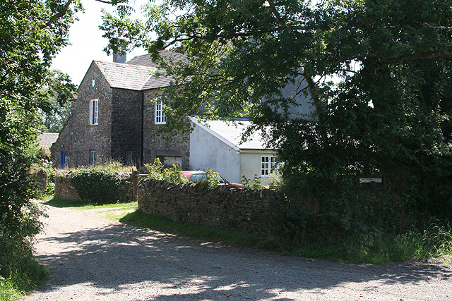
Ashbury, Devon
Ashbury is a village and former civil parish, now in the parish of Northlew, in the West Devon district, in the county of Devon, England. It is 5 miles...

Northlew
Northlew is a village and civil parish in the West Devon district of the county of Devon, England. To the west of the village, but within the parish, are...

Maddaford Moor Halt railway station
Maddaford Moor Halt was a railway station on the Bude Branch that closed in 1966. The halt was located where the line passed under the A3079, at a hamlet...

Ashbury railway station
Ashbury railway station was located on the Okehampton to Bude Line 3¾ miles east of Halwill Junction, and served the hamlet of Ashbury and the village...

Broadbury Castle
Broadbury Castle (grid reference SX48379580) is an archaeological earthwork close to Beaworthy in Devon, England. It comprises a single bank and ditch...

Boasley Cross
Boasley Cross is a village in Devon, England. == External links == Media related to Boasley Cross at Wikimedia Commons

A386 road
The A386 is a primary route in Devon, England. It runs from Plymouth on the south coast to Appledore on the north coast. The road starts in the centre...
Inwardleigh
Inwardleigh is a village and civil parish about 3 and a half miles north north west of Okehampton railway station, in the West Devon district, in the county...
Have you been to Ashbury Plantation?
Leave your review of Ashbury Plantation below (or comments, questions and feedback).