Cheveley

Settlement in Cambridgeshire East Cambridgeshire

England

Cheveley

Silverley to Ashley on the B1063 Gently rolling country on the eastern edge of Cambridgeshire.
Silverley to Ashley on the B1063 Credit: John Sutton

Cheveley is a small village located in the county of Cambridgeshire, England. It is situated approximately 14 miles east of Cambridge and 5 miles west of Newmarket. With a population of around 1,200 residents, it is a tranquil and close-knit community.

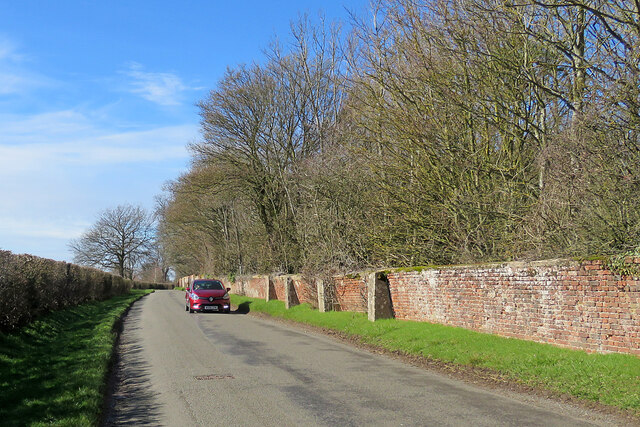
The village is known for its picturesque surroundings, nestled amidst the lush countryside of East Anglia. It is surrounded by open fields, woodlands, and meadows, offering a serene and idyllic setting. The River Cam flows nearby, adding to the natural beauty of the area.

Historically, Cheveley is renowned for its ties to horse racing. It is located close to Newmarket, which is considered the horse racing capital of the UK. Many horse trainers and jockeys reside in or near Cheveley, making it a hub for equestrian enthusiasts.

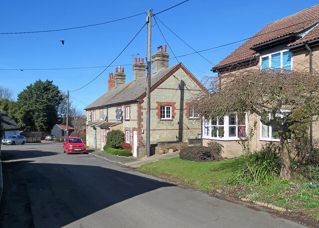
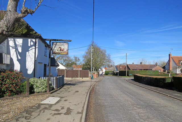
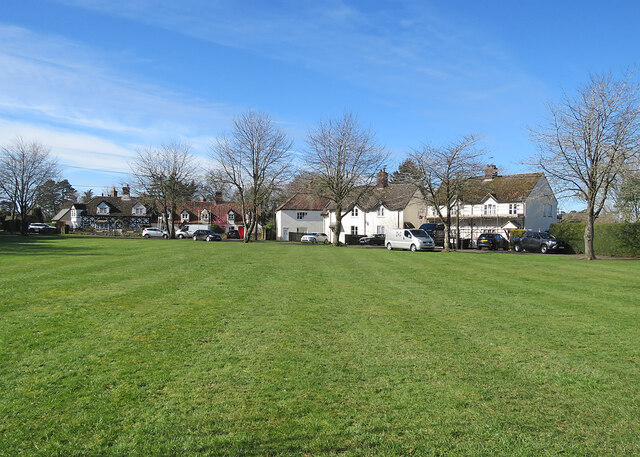
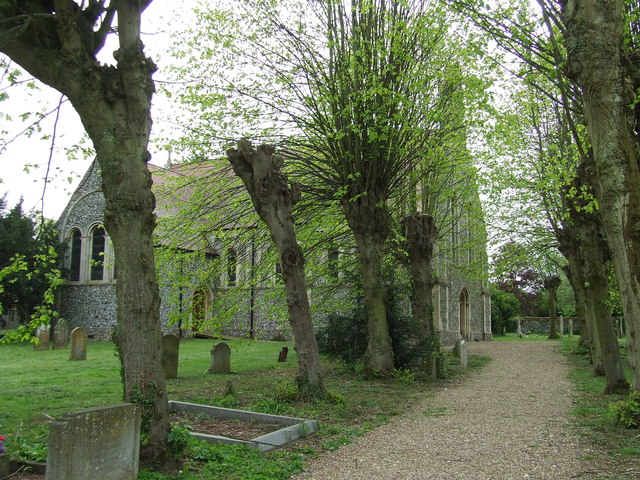
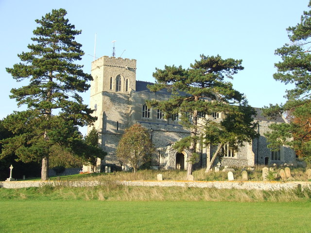
The village itself features a charming mix of traditional and modern architecture. It has a village green, a church, a primary school, and a local pub, providing essential amenities for its residents. The community spirit is strong in Cheveley, with various events and activities organized throughout the year, such as fairs, festivals, and sports competitions.

Cheveley offers excellent transport links, with easy access to major roads like the A14 and A11. This makes it a convenient location for commuters and allows residents to explore the nearby cities of Cambridge and Newmarket.

In summary, Cheveley is a tranquil village in Cambridgeshire, known for its beautiful countryside, equestrian connections, and strong community spirit. It provides a peaceful retreat from city life while offering convenient access to nearby amenities and attractions.

If you have any feedback on the listing, please let us know in the comments section below.
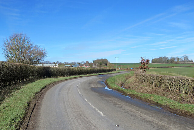
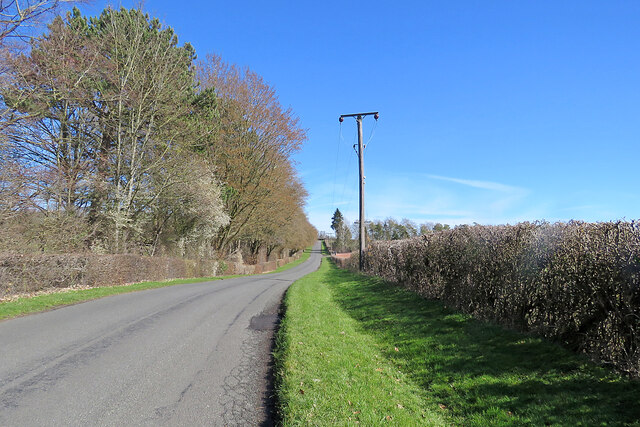
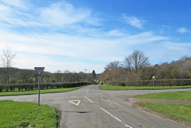
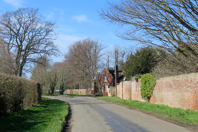
Cheveley Images

Images are sourced within 2km of 52.222646/0.462699 or Grid Reference TL6861. Thanks to Geograph Open Source API. All images are credited.

Silverley to Ashley on the B1063 Gently rolling country on the eastern edge of Cambridgeshire.
Silverley to Ashley on the B1063
Gently rolling country on the eastern edge of Cambridgeshire.
Uphill to the crossroads The road from Dullingham and Stetchworth to Cheveley (ahead), photographed on a bright March morning. Early blossom shows in some trees and the hedgerow on the left.
Uphill to the crossroads
The road from Dullingham and Stetchworth to Cheveley (ahead), photographed on a bright March morning. Early blossom shows in some trees and the hedgerow on the left.
Give way at the crossroads This is where the road from Cheveley to Stetchworth and Dullingham (ahead) crosses the road from Kirtling and Saxon Street (left) to Newmarket.
Give way at the crossroads
This is where the road from Cheveley to Stetchworth and Dullingham (ahead) crosses the road from Kirtling and Saxon Street (left) to Newmarket.
Park Road and the entrance to Cheveley Park Stud-farm country south of Newmarket. The lodge on the right is at the gate to Cheveley Park Stud. The road forks here: straight on for Newmarket, left for Stetchworth and Dullingham.
Park Road and the entrance to Cheveley Park
Stud-farm country south of Newmarket. The lodge on the right is at the gate to Cheveley Park Stud. The road forks here: straight on for Newmarket, left for Stetchworth and Dullingham.
On Park Road in early spring The leaning and buttressed wall encloses Cheveley Park Stud.
On Park Road in early spring
The leaning and buttressed wall encloses Cheveley Park Stud.
Cheveley: on Park Road The flint cottage on the right has arch-headed windows and a chimney-stack with a Jacobean flavour - suggesting the Gothick taste of the early years of the nineteenth century.
Cheveley: on Park Road
The flint cottage on the right has arch-headed windows and a chimney-stack with a Jacobean flavour - suggesting the Gothick taste of the early years of the nineteenth century.
Crossroads at Cheveley This is at the north end of a long village. High Street, on the left, leads to the centre of Cheveley, the road ahead to Newmarket and the one on the right to Moulton and Kentford.
Crossroads at Cheveley
This is at the north end of a long village. High Street, on the left, leads to the centre of Cheveley, the road ahead to Newmarket and the one on the right to Moulton and Kentford.
Ashley: The Crown Inn The Crown is Grade II listed and dates from the middle of the nineteenth century.
Ashley: The Crown Inn
The Crown is Grade II listed and dates from the middle of the nineteenth century.
Ashley: Thimble Cottage, High Street "Cottage, possibly C17. Timber-framed with hipped thatched roof. Central red-brick ridge stack. One storey. Four ground-floor windows include two four-paned hung sash windows. Modern red-brick porch and half-glazed door" (Grade II listing).
Ashley: Thimble Cottage, High Street
"Cottage, possibly C17. Timber-framed with hipped thatched roof. Central red-brick ridge stack. One storey. Four ground-floor windows include two four-paned hung sash windows. Modern red-brick porch and half-glazed door" (Grade II listing).
Ashley: cottages on The Green Looking towards High Street on a bright March morning.
Ashley: cottages on The Green
Looking towards High Street on a bright March morning.
Ashley: outside The Old Plough Restaurant Formerly The Plough public house, the building dates from the early seventeenth century and is Grade II listed.
Ashley: outside The Old Plough Restaurant
Formerly The Plough public house, the building dates from the early seventeenth century and is Grade II listed.
Approaching Ashley on the B1063 No shortage of road signs. The B1063 runs from Clare to Newmarket (ahead).
Approaching Ashley on the B1063
No shortage of road signs. The B1063 runs from Clare to Newmarket (ahead).
Up the hill to Ashley The B1063 from Clare to Newmarket (ahead) on a bright March morning.
Up the hill to Ashley
The B1063 from Clare to Newmarket (ahead) on a bright March morning.
Broad Green: across the green A small settlement near Cheveley, on the eastern edge of Cambridgeshire.
Broad Green: across the green
A small settlement near Cheveley, on the eastern edge of Cambridgeshire.
St Mary Ashley The church of St Mary, Ashley, Cambridgeshire. For more info on the church see <span class="nowrap"><a title="http://www.druidic.org/camchurch/churches/ashley.htm" rel="nofollow ugc noopener" href="http://www.druidic.org/camchurch/churches/ashley.htm">Link</a><img style="margin-left:2px;" alt="External link" title="External link - shift click to open in new window" src="https://s1.geograph.org.uk/img/external.png" width="10" height="10"/></span>
St Mary Ashley
The church of St Mary, Ashley, Cambridgeshire. For more info on the church see LinkExternal link
Memorial Plaque Memorial plaque to Mary A Langley in the church of St Mary, Ashley, Cambridgeshire  who was lost in the wreck of the RMS Empress of Ireland in 1914 for info on the wreck see <span class="nowrap"><a title="http://en.wikipedia.org/wiki/RMS_Empress_of_Ireland" rel="nofollow ugc noopener" href="http://en.wikipedia.org/wiki/RMS_Empress_of_Ireland">Link</a><img style="margin-left:2px;" alt="External link" title="External link - shift click to open in new window" src="https://s1.geograph.org.uk/img/external.png" width="10" height="10"/></span> and for a view of the church <a title="https://www.geograph.org.uk/photo/2956004" href="https://www.geograph.org.uk/photo/2956004">Link</a>
Memorial Plaque
Memorial plaque to Mary A Langley in the church of St Mary, Ashley, Cambridgeshire who was lost in the wreck of the RMS Empress of Ireland in 1914 for info on the wreck see LinkExternal link and for a view of the church Link
Cottages at Broad Green The road past the red-brick cottages leads to Cheveley.
Cottages at Broad Green
The road past the red-brick cottages leads to Cheveley.
Nearing Broad Green The road from Saxon Street on a bright March morning. The blackthorn hedge in the centre is coming into flower.
Nearing Broad Green
The road from Saxon Street on a bright March morning. The blackthorn hedge in the centre is coming into flower.
Show me another place!

Cheveley is located at Grid Ref: TL6861 (Lat: 52.222646, Lng: 0.462699)

Administrative County: Cambridgeshire

District: East Cambridgeshire

Police Authority: Cambridgeshire

What 3 Words

///mere.blip.bright. Near Newmarket, Suffolk

Nearby Locations

Cheveley

Related Wikis

Cheveley

The village of Cheveley is situated in the county of Cambridgeshire and lies about four miles east-south-east of the market town of Newmarket. The population...

Cheveley Castle

Cheveley Castle was a medieval fortified manor house near Cheveley, Cambridgeshire, England. == Details == Cheveley Castle was built by Sir John Pulteney...

Ashley, Cambridgeshire

Ashley is a village and civil parish in the East Cambridgeshire district of Cambridgeshire, England, about 4 miles (6.4 km) east of Newmarket. The modern...

Beech House Stud

Beech House Stud is an English Thoroughbred racehorse breeding farm located on Cheveley Road near Newmarket, Suffolk currently owned by Sheikh Hamdan bin...
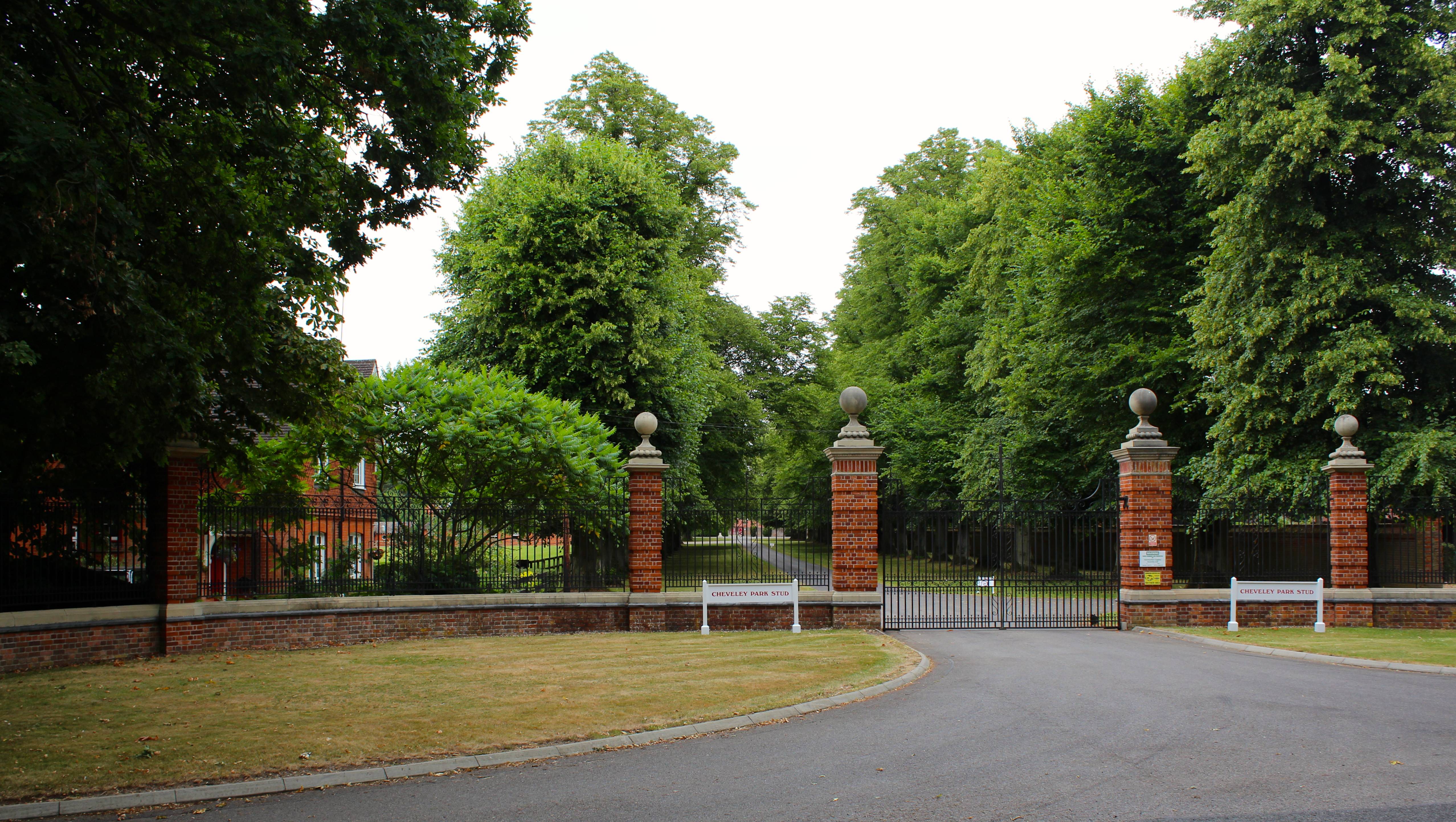
Cheveley Park Stud

Cheveley Park Stud is a thoroughbred racehorse ownership and breeding operation in Newmarket, Suffolk, UK, which has bred and owned many notable horses...

Moulton Rural District

Moulton was a rural district in Suffolk, England from 1894 to 1935. It covered the area to the east of the town of Newmarket. The district was created...

Woodditton

Woodditton is a village and civil parish in East Cambridgeshire, England. The other settlements in the parish are Ditton Green, Little Ditton and Saxon...

Moulton, Suffolk

Moulton is a village and civil parish in the West Suffolk district of Suffolk in eastern England, located close to the town of Newmarket. It pre-dates...

Nearby Amenities

Located within 500m of 52.222646,0.462699
Cheveley
Place: village
Wikidata: Q2254959
Lat/Long: 52.2233959/0.46333
Recycling
Location: overground
Recycling Type: container
Lat/Long: 52.2241734/0.4627508
Post Box
CB8 9 Broomstick Corner
Collection Times: Mo-Fr 17:15; Sa 10:30
Operator: Royal Mail
Post Box Type: lamp
Ref: CB8 57
Royal Cypher: EIIR
Royal Cypher Wikidata: Q33102113
Source: survey
Lat/Long: 52.2264347/0.4651859
Post Box
Collection Times: Mo-Fr 09:00; Sa 07:00
Operator: Royal Mail
Post Box Type: lamp
Ref: CB8 65
Royal Cypher: EIIR
Royal Cypher Wikidata: Q33102113
Source: survey
Lat/Long: 52.2225733/0.462482
war memorial
Historic: monument
Lat/Long: 52.2204033/0.4645435
Bus Stop
Star and Garter Lane
Naptan AtcoCode: 0500ECHEV006
Naptan Bearing: SE
Naptan BusStopType: CUS
Naptan CommonName: Star and Garter Lane
Naptan Indicator: near
Naptan Landmark: Star and Garter Lane
Naptan NaptanCode: cmbdgmpd
Naptan ShortCommonName: Star & Garter Lane
Naptan Street: High Street
Naptan Verified: no
Source: naptan_import
Lat/Long: 52.2223718/0.4630217
Bus Stop
Star and Garter Lane
Naptan AtcoCode: 0500ECHEV008
Naptan Bearing: NW
Naptan CommonName: Star and Garter Lane
Naptan Indicator: opp
Naptan Landmark: Star and Garter Lane
Naptan NaptanCode: cmbdgmpj
Naptan ShortCommonName: Star & Garter Lane
Naptan Street: High Street
Naptan Verified: no
Source: naptan_import
Lat/Long: 52.2223348/0.4629154
Power: pole
Lat/Long: 52.2200788/0.46219
Power: pole
Lat/Long: 52.2213934/0.46197
Power: pole
Lat/Long: 52.2189761/0.4601921
Power: pole
Lat/Long: 52.2192704/0.461439
Power: pole
Lat/Long: 52.2183962/0.4631073
Power: pole
Lat/Long: 52.220764/0.4620827
Power: pole
Lat/Long: 52.2189646/0.4627693
Power: pole
Lat/Long: 52.2195349/0.4624904
Barrier: yes
Lat/Long: 52.2207417/0.4567491
Bench
Lat/Long: 52.2183285/0.4646726
The data included in this document is from www.openstreetmap.org. The data is made available under ODbL.

Have you been to Cheveley?

Leave your review of Cheveley below (or comments, questions and feedback).