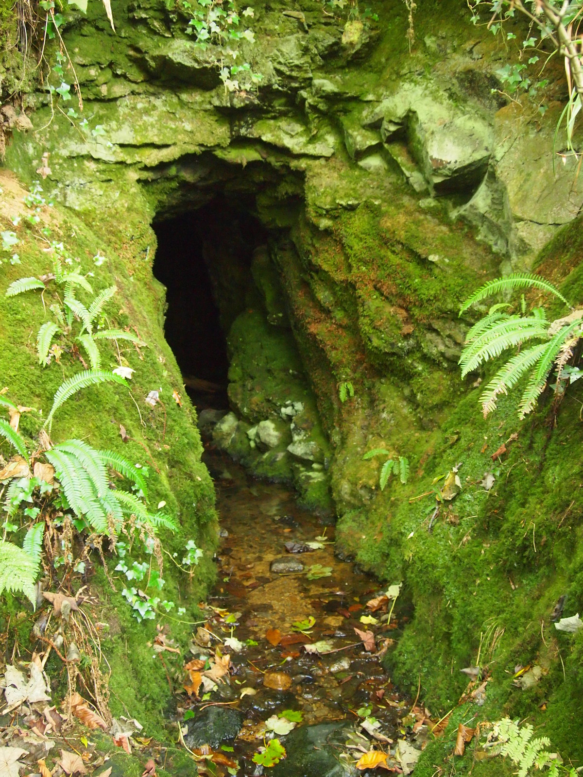
Carpenter's Wood

Wood, Forest in Devon West Devon

England

Carpenter's Wood
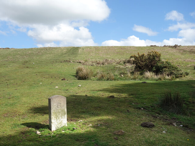
B 2000, West Blackdown Where Brentor and Mary Tavy parishes meet this looks like a boundary stone renewed to mark the millennium.
B 2000, West Blackdown Credit: Des Blenkinsopp

The requested URL returned error: 429 Too Many Requests

If you have any feedback on the listing, please let us know in the comments section below.

Carpenter's Wood Images

Images are sourced within 2km of 50.606161/-4.1074235 or Grid Reference SX5080. Thanks to Geograph Open Source API. All images are credited.
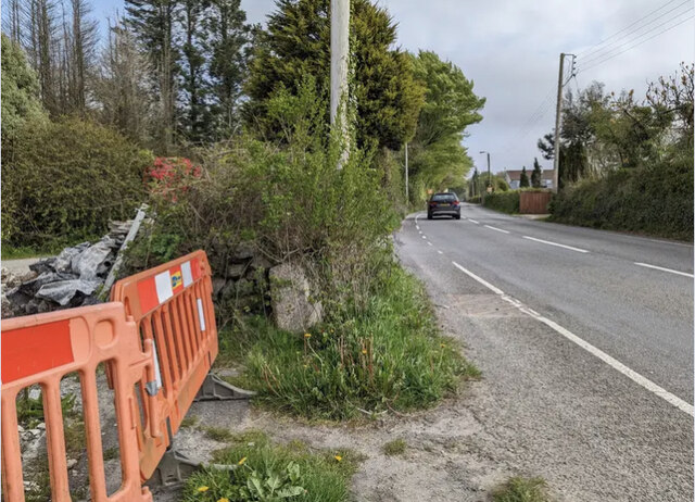
B 2000, West Blackdown Where Brentor and Mary Tavy parishes meet this looks like a boundary stone renewed to mark the millennium.
B 2000, West Blackdown
Where Brentor and Mary Tavy parishes meet this looks like a boundary stone renewed to mark the millennium.
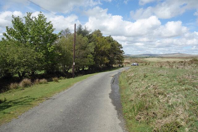
The Edge of Dartmoor Dartmoor stops very suddenly along this bit of road. Open moorland is on one side, with trees and fields on the other.
The Edge of Dartmoor
Dartmoor stops very suddenly along this bit of road. Open moorland is on one side, with trees and fields on the other.
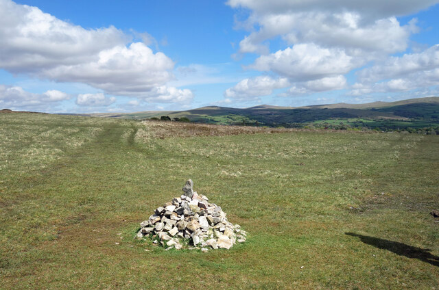
Cairn on the West Devon Way A small pile of stones at a meeting of trackways.
Cairn on the West Devon Way
A small pile of stones at a meeting of trackways.
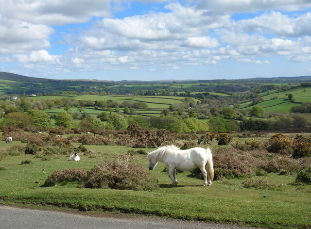
White Horse by the Road Quite a few horses and sheep grazing along here on the edge of Mary Tavy village.
White Horse by the Road
Quite a few horses and sheep grazing along here on the edge of Mary Tavy village.
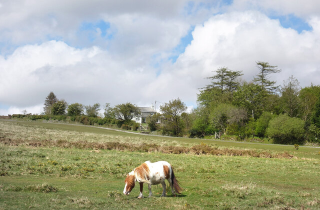
Pony at Higher Spring Another picture of a horse. There are quite a few around here today.
Pony at Higher Spring
Another picture of a horse. There are quite a few around here today.
Old Milestone by the A386, Blackdown, Mary Tavy Carved stone post by the A386, in parish of Mary Tavy (West Devon District), by Royal Standard PH, against wall, on West side of road. Tavistock gable tombstone, erected by the Tavistock turnpike trust in the 19th century.

Inscription reads:-
: (OKEHAMPTON / 12) / MILES : : TAVI / STOCK / 4 / MILES :

Devon & Dartmoor HER.
HER Number: MDV71996 <span class="nowrap"><a title="https://www.heritagegateway.org.uk/Gateway/Results_Single.aspx?uid=MDV71996&resourceID=104" rel="nofollow ugc noopener" href="https://www.heritagegateway.org.uk/Gateway/Results_Single.aspx?uid=MDV71996&resourceID=104">Link</a><img style="margin-left:2px;" alt="External link" title="External link - shift click to open in new window" src="https://s1.geograph.org.uk/img/external.png" width="10" height="10"/></span>

Milestone Society National ID: DV_TVOK04
Old Milestone by the A386, Blackdown, Mary Tavy
Carved stone post by the A386, in parish of Mary Tavy (West Devon District), by Royal Standard PH, against wall, on West side of road. Tavistock gable tombstone, erected by the Tavistock turnpike trust in the 19th century. Inscription reads:- : (OKEHAMPTON / 12) / MILES : : TAVI / STOCK / 4 / MILES : Devon & Dartmoor HER. HER Number: MDV71996 LinkExternal link Milestone Society National ID: DV_TVOK04
Old Guide Stone near Horndon Bridge, Peter Tavy parish Granite guidestone post by the UC road, in parish of Peter Tavy (West Devon District), North of Cudlipptown, Southeast of Horndon Bridge, at fork of old road to Horndon, high on grass bank.

Inscription reads:-
: HORN / DON / ½ / MILE : : TAVI / STOCK / 5 / MILES : : WAPS / WORTHY / 1 / MILE : 

Grade II listed.
List Entry Number: 1171007 <span class="nowrap"><a title="https://historicengland.org.uk/listing/the-list/list-entry/1171007" rel="nofollow ugc noopener" href="https://historicengland.org.uk/listing/the-list/list-entry/1171007">Link</a><img style="margin-left:2px;" alt="External link" title="External link - shift click to open in new window" src="https://s1.geograph.org.uk/img/external.png" width="10" height="10"/></span>

Surveyed

Milestone Society National ID: DV_XPTAV01
Old Guide Stone near Horndon Bridge, Peter Tavy parish
Granite guidestone post by the UC road, in parish of Peter Tavy (West Devon District), North of Cudlipptown, Southeast of Horndon Bridge, at fork of old road to Horndon, high on grass bank. Inscription reads:- : HORN / DON / ½ / MILE : : TAVI / STOCK / 5 / MILES : : WAPS / WORTHY / 1 / MILE : Grade II listed. List Entry Number: 1171007 LinkExternal link Surveyed Milestone Society National ID: DV_XPTAV01
Wheal Betsy Engine House <span class="nowrap"><a title="https://historicengland.org.uk/listing/the-list/list-entry/1003191?section=official-listing" rel="nofollow ugc noopener" href="https://historicengland.org.uk/listing/the-list/list-entry/1003191?section=official-listing">Link</a><img style="margin-left:2px;" alt="External link" title="External link - shift click to open in new window" src="https://s1.geograph.org.uk/img/external.png" width="10" height="10"/></span>
Wheal Betsy Engine House
Old Milestone by the A386, near Wheal Betsy, Mary Tavy Parish Carved stone post by the A386, in parish of MARY TAVY (WEST DEVON District), between Gibbet Hill and Wheal Betsy ruins, North of village, on grass bank above road, on West side of road. Large Tavistock tombstone, erected by the Tavistock turnpike trust in the 18th century.

Inscription reads:-
From
Tavistock
5 - Miles
Oakhampton
10
Truro
55
Carved benchmark on mid lower face.

Grade II Listed. List Entry Number: 1171619
<span class="nowrap"><a title="http://web.archive.org/web/20210115215708/https://historicengland.org.uk/listing/the-list/list-entry/1171619" rel="nofollow ugc noopener" href="http://web.archive.org/web/20210115215708/https://historicengland.org.uk/listing/the-list/list-entry/1171619">Archive Link</a><img style="margin-left:2px;" alt="External link" title="External link - shift click to open in new window" src="https://s1.geograph.org.uk/img/external.png" width="10" height="10"/></span>

Milestone Society National ID: DV_TVOK05
Old Milestone by the A386, near Wheal Betsy, Mary Tavy Parish
Carved stone post by the A386, in parish of MARY TAVY (WEST DEVON District), between Gibbet Hill and Wheal Betsy ruins, North of village, on grass bank above road, on West side of road. Large Tavistock tombstone, erected by the Tavistock turnpike trust in the 18th century. Inscription reads:- From Tavistock 5 - Miles Oakhampton 10 Truro 55 Carved benchmark on mid lower face. Grade II Listed. List Entry Number: 1171619 Archive LinkExternal link Milestone Society National ID: DV_TVOK05
West Devon : Ferns Looking into the bushes and ferns.
West Devon : Ferns
Looking into the bushes and ferns.
West Devon : Grassy Area A grassy area on the edge of Dartmoor. A Range Rover can be seen parked on it.
West Devon : Grassy Area
A grassy area on the edge of Dartmoor. A Range Rover can be seen parked on it.
West Devon : Sheep Grazing Sheep grazing beside the wall.
West Devon : Sheep Grazing
Sheep grazing beside the wall.
Horndon : Small Lane A small lane heading through the countryside.
Horndon : Small Lane
A small lane heading through the countryside.
Sheep, Lower Creason
Foals, Higher Creason Dartmoor pony foals.
Foals, Higher Creason
Dartmoor pony foals.
Horses and sheep, Zoar
Chapel, Horndon Nonconformist chapel, hidden by a monkey-puzzle tree.
Chapel, Horndon
Nonconformist chapel, hidden by a monkey-puzzle tree.
Road junction, Horndon
Show me another place!

Carpenter's Wood is located at Grid Ref: SX5080 (Lat: 50.606161, Lng: -4.1074235)

Administrative County: Devon

District: West Devon

Police Authority: Devon and Cornwall

What 3 Words

///zaps.aimlessly.proves. Near Tavistock, Devon

Nearby Locations

Carpenter's Wood Blackdown

Related Wikis

Devon United Mine

Devon United Mine (grid reference SX521795) is a 1.0 hectare geological Site of Special Scientific Interest in Devon, England, notified in 1987. ��2�...

Mary Tavy

Mary Tavy () is a village with a population of around 600, located four miles north of Tavistock in Devon in south-west England; it is named after the...

Cudlipptown

Cudlipptown or Cudliptown is a small village located near the western edge of Dartmoor National Park, northeast of Tavistock, and approximately one mile...

Lydford railway station

Lydford railway station was a junction at Lydford between the Great Western Railway (GWR) and London and South Western Railway (LSWR) situated in a remote...

Nearby Amenities

Located within 500m of 50.606161,-4.1074235
Kingsett
Place: hamlet
Source: NPE
Lat/Long: 50.6039245/-4.1036083
Barrier: cattle_grid
Lat/Long: 50.6106284/-4.1071296
Give Way
Lat/Long: 50.6063107/-4.1129485
Barrier: cattle_grid
Lat/Long: 50.6064463/-4.1126954
The data included in this document is from www.openstreetmap.org. The data is made available under ODbL.

Have you been to Carpenter's Wood?

Leave your review of Carpenter's Wood below (or comments, questions and feedback).