Allers Copse
Wood, Forest in Devon West Devon
England
Allers Copse

Allers Copse is a picturesque wood located in the county of Devon, England. Situated in the southwestern part of the country, this charming forest covers an area of approximately 50 acres. It is nestled within a rural landscape, surrounded by rolling hills and meadows, providing visitors with a tranquil and scenic environment.
The copse is primarily made up of a diverse range of deciduous trees, such as oak, birch, and beech, which create a rich and vibrant canopy throughout the year. These trees not only provide shade but also attract various species of birds, making it a popular spot for birdwatchers. In the spring, the woodland floor is carpeted with a stunning display of wildflowers, including bluebells and primroses, adding to the area's natural beauty.
There are several footpaths and trails that wind through Allers Copse, allowing visitors to explore the woodland at their leisure. The paths are well-maintained, making it accessible to both walkers and cyclists. Along these routes, visitors may come across small clearings and picnic areas, providing ideal spots for relaxation and enjoying the peaceful surroundings.
Allers Copse is also home to a diverse range of wildlife. Squirrels scurry through the trees, while rabbits and badgers can occasionally be spotted foraging in the undergrowth. The copse is also known to be a habitat for bats, adding to its ecological significance.
Overall, Allers Copse offers a delightful escape from the hustle and bustle of daily life, providing a serene and enchanting woodland experience for nature enthusiasts and those seeking a peaceful retreat in the heart of Devon.
If you have any feedback on the listing, please let us know in the comments section below.
Allers Copse Images
Images are sourced within 2km of 50.83603/-4.119128 or Grid Reference SS5006. Thanks to Geograph Open Source API. All images are credited.


Allers Copse is located at Grid Ref: SS5006 (Lat: 50.83603, Lng: -4.119128)
Administrative County: Devon
District: West Devon
Police Authority: Devon and Cornwall
What 3 Words
///hamster.conspired.farmed. Near Hatherleigh, Devon
Nearby Locations
Related Wikis
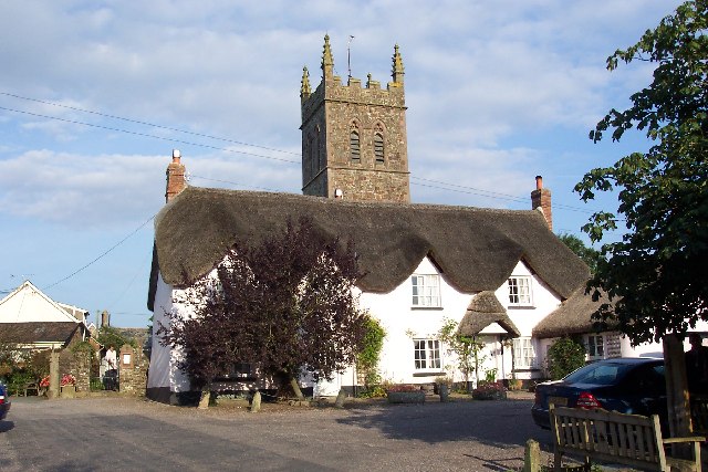
Sheepwash, Devon
Sheepwash is a village and civil parish on the southern border of the local government district of Torridge, Devon, England. The parish, which lies about...
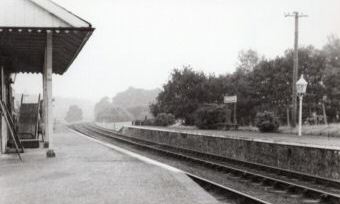
Hatherleigh railway station
Hatherleigh Railway Station was a station on the North Devon and Cornwall Junction Light Railway between Torrington and Halwill Junction, serving the town...
Petrockstowe
Petrockstowe (or Petrockstow) is a small village and civil parish in the district of Torridge in Northern Devon, England. Its population in 2001 was 379...

Highampton
Highampton is a parish in Devon spread over approx. 4½ miles. It stands on a ridge with views of Dartmoor and Exmoor. Highampton is about 10 miles from...

River Lew
The River Lew can refer to either of two short rivers that lie close to each other in Devon, England. The more northerly of the two rises just south of...

Meeth
Meeth is a small village roughly 13.5 km (8.4 mi) north-northwest of Okehampton and 40.7 km (25.3 mi) west-northwest of Exeter. It lies to the west of...
Meeth Halt railway station
Opened in 1925, Meeth Halt was a small railway station on the North Devon and Cornwall Junction Light Railway, a private line until it became part of the...

Hatherleigh
Hatherleigh is a small market town in west Devon, England. It hosts an arts festival in July, and a carnival in November featuring two flaming tar barrel...
Have you been to Allers Copse?
Leave your review of Allers Copse below (or comments, questions and feedback).