White's Wood

Wood, Forest in Devon Torridge

England

White's Wood

Delve's Grave Cross Suitably miserable weather for such a lugubriously named spot. The green lane marked "unsuitable for motor vehicles" goes to Higher Darracott, and the main lane is heading from Torrington towards Alverdiscott, although this isn't advertised. The lane behind the camera is from the B3232 near Deep Moor.
Delve's Grave Cross Credit: Derek Harper

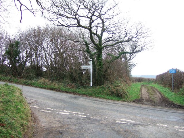
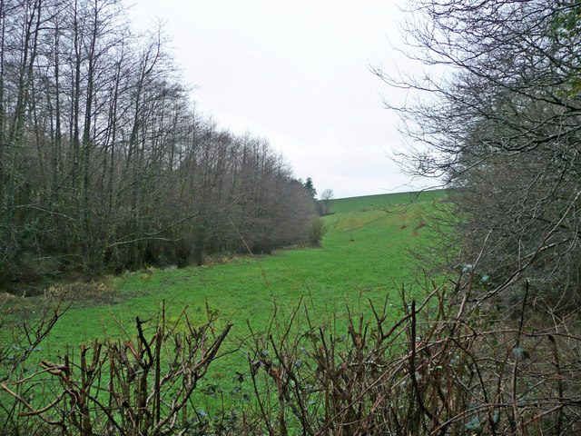
White's Wood is a picturesque woodland located in Devon, England. Covering an area of approximately 100 acres, it is a popular destination for nature lovers and outdoor enthusiasts. The woodland is situated in a rural area, surrounded by rolling hills and countryside.

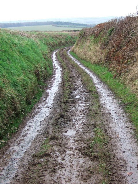
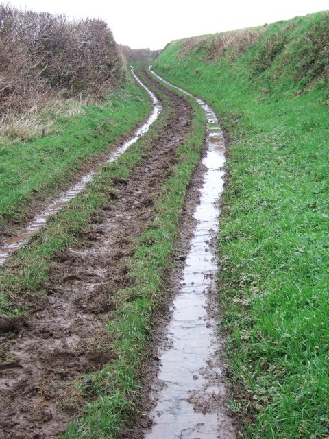
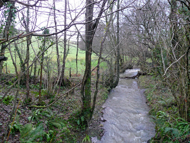
White's Wood is characterized by its rich biodiversity and stunning natural beauty. The forest is predominantly composed of native tree species such as oak, beech, and ash, creating a dense and lush canopy that provides a habitat for various wildlife. Visitors can explore the woodland through a network of well-maintained footpaths, offering a chance to observe and appreciate the local flora and fauna.

The wood is known for its tranquil and peaceful atmosphere, making it an ideal spot for walking, jogging, or simply enjoying a picnic amidst nature. There are several designated picnic areas scattered throughout the forest, providing visitors with a place to relax and unwind.

White's Wood also has a historical significance, with remnants of an ancient settlement dating back to the Bronze Age. Archaeological finds, including tools and pottery, have been discovered in the area, providing insights into the lives of early inhabitants.

The woodland is easily accessible, with ample parking facilities available nearby. It is open to the public throughout the year, and there are no admission fees, making it a popular destination for families, hikers, and nature enthusiasts seeking a peaceful retreat in the heart of Devon's countryside.

If you have any feedback on the listing, please let us know in the comments section below.

White's Wood Images

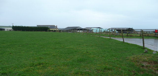
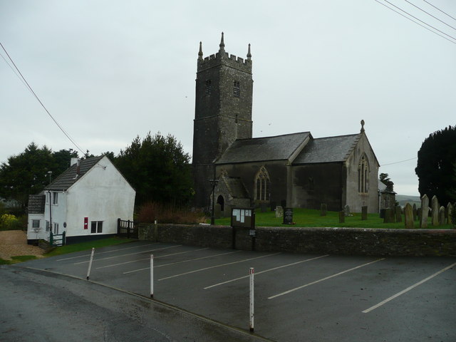
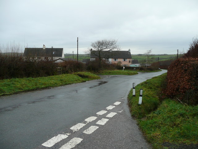
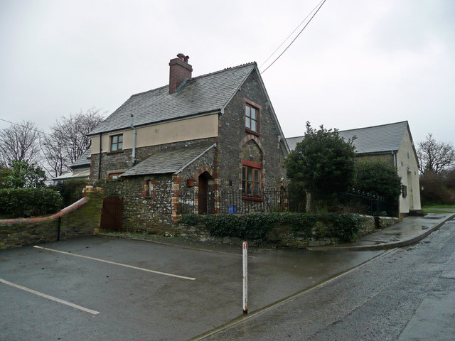
Images are sourced within 2km of 50.976531/-4.1382271 or Grid Reference SS4921. Thanks to Geograph Open Source API. All images are credited.

Delve's Grave Cross Suitably miserable weather for such a lugubriously named spot. The green lane marked "unsuitable for motor vehicles" goes to Higher Darracott, and the main lane is heading from Torrington towards Alverdiscott, although this isn't advertised. The lane behind the camera is from the B3232 near Deep Moor.
Delve's Grave Cross
Suitably miserable weather for such a lugubriously named spot. The green lane marked "unsuitable for motor vehicles" goes to Higher Darracott, and the main lane is heading from Torrington towards Alverdiscott, although this isn't advertised. The lane behind the camera is from the B3232 near Deep Moor.
Higher Darracott The farmhouse, which gives the impression of being an old building, is on a bend on the lane between Huntshaw and Darracott Cross.
Higher Darracott
The farmhouse, which gives the impression of being an old building, is on a bend on the lane between Huntshaw and Darracott Cross.
Lane junction near Torrington The lane behind the camera is from Combe Cross. Both routes ahead lead to Great Torrington, whose eastern suburbs can be seen on the left. The small lane on the left is more direct but narrow and winding. The right hand lane approaches the town via the northern common.
Lane junction near Torrington
The lane behind the camera is from Combe Cross. Both routes ahead lead to Great Torrington, whose eastern suburbs can be seen on the left. The small lane on the left is more direct but narrow and winding. The right hand lane approaches the town via the northern common.
Green lane to Higher Darracott Seen in steady rain, the green lane from <a href="https://www.geograph.org.uk/photo/649208">SS5121 : Delve's Grave Cross</a> twists between banks.
Green lane to Higher Darracott
Seen in steady rain, the green lane from SS5121 : Delve's Grave Cross twists between banks.
Green lane to Delve's Grave Cross The other end of <a href="https://www.geograph.org.uk/photo/658522">SS5121 : Green lane to Higher Darracott</a>, close to Higher Darracott, and similar in character except for a steeper gradient - and the rain was heavier.
Green lane to Delve's Grave Cross
The other end of SS5121 : Green lane to Higher Darracott, close to Higher Darracott, and similar in character except for a steeper gradient - and the rain was heavier.
Huntshaw Water In winter spate east of the bridge near Guscott.
Huntshaw Water
In winter spate east of the bridge near Guscott.
Knockworthy Farm Surrounded by pasture land east of Huntshaw.
Knockworthy Farm
Surrounded by pasture land east of Huntshaw.
St. Mary Magdalene's church, Huntshaw Large church, tiny village.
St. Mary Magdalene's church, Huntshaw
Large church, tiny village.
Carrier's Lane End Farm-workers' houses near Huntshaw.
Carrier's Lane End
Farm-workers' houses near Huntshaw.
Old school house, Huntshaw Right next to the church in this tiny village.
Old school house, Huntshaw
Right next to the church in this tiny village.
The Huntshaw valley Woodland in a steep-sided feature.
The Huntshaw valley
Woodland in a steep-sided feature.
Great Torrington : Countryside Scenery Looking towards the rolling hillsides and three wind turbines.
Great Torrington : Countryside Scenery
Looking towards the rolling hillsides and three wind turbines.
The church of St Mary Magdalene at Huntshaw
Ordnance Survey Cut Mark This mark can be found on the wall of St Mary Magdalene Church.
For more detail see : <span class="nowrap"><a title="http://www.bench-marks.org.uk/bm52415" rel="nofollow ugc noopener" href="http://www.bench-marks.org.uk/bm52415">Link</a><img style="margin-left:2px;" alt="External link" title="External link - shift click to open in new window" src="https://s1.geograph.org.uk/img/external.png" width="10" height="10"/></span>
Ordnance Survey Cut Mark
This mark can be found on the wall of St Mary Magdalene Church. For more detail see : LinkExternal link
Ploughed field near Knockworthy Ploughed field near Knockworthy to the east of Huntshaw
Ploughed field near Knockworthy
Ploughed field near Knockworthy to the east of Huntshaw
Solar Farm near Huntshaw A large solar farm on the hillside near Huntshaw.
Solar Farm near Huntshaw
A large solar farm on the hillside near Huntshaw.
Farmland near Delve's Grave Cross View across farmland near Delve's Grave Cross to Haycroft Farm
Farmland near Delve's Grave Cross
View across farmland near Delve's Grave Cross to Haycroft Farm
Farmland viewed from near Delve's Grave Cross View north across farmland from near Delve's Grave Cross.  Waggadon can be seen on the right across the valley
Farmland viewed from near Delve's Grave Cross
View north across farmland from near Delve's Grave Cross. Waggadon can be seen on the right across the valley
Show me another place!

White's Wood is located at Grid Ref: SS4921 (Lat: 50.976531, Lng: -4.1382271)

Administrative County: Devon

District: Torridge

Police Authority: Devon and Cornwall

What 3 Words

///lawfully.retained.imported. Near Great Torrington, Devon

Nearby Locations

White's Wood

Related Wikis

Berry Castle, Huntshaw

Berry Castle is an Iron Age Hill fort in the civil parish of Huntshaw, close to Weare Giffard in Devon, England, to the north of Great Torrington. The...

Huntshaw

Huntshaw is a village and civil parish located 2.5 north north east of Great Torrington, in the Torridge district, in the county of Devon, England. In...

Great Torrington School

Great Torrington School is a mixed secondary school located in Great Torrington in the English county of Devon.Previously a foundation school administered...

Torrington F.C.

Torrington Football Club are an English association football club based in Great Torrington, Devon. Founded in 1908, the club currently compete in the...

Huntshaw Cross transmitting station

Huntshaw Cross transmitting station is a telecommunications facility serving North Devon including the towns of Barnstaple and South Molton. It broadcasts...

Battle of Torrington

The Battle of Torrington (16 February 1646) was a decisive battle of the south-western campaign of the First English Civil War and marked the end of Royalist...

Great Torrington

Great Torrington (often abbreviated to Torrington, though the villages of Little Torrington and Black Torrington are situated in the same region) is a...

Palmer House, Great Torrington

Palmer House is a grade II* listed Georgian residence built in 1752 in the town of Great Torrington, North Devon, England. It is notable as it retains...

Have you been to White's Wood?

Leave your review of White's Wood below (or comments, questions and feedback).