Chestfield

Settlement in Kent Canterbury

England

Chestfield

Coastguard Lookout
Coastguard Lookout Credit: Alex McGregor

Chestfield is a charming village located in the county of Kent, in southeastern England. Situated just three miles west of the historic city of Canterbury, Chestfield offers a peaceful and picturesque setting for residents and visitors alike.

The village is known for its idyllic countryside, with rolling hills, lush green fields, and stunning views of the surrounding landscape. It is surrounded by the Kent Downs, an Area of Outstanding Natural Beauty, which provides ample opportunities for outdoor activities such as hiking, cycling, and horseback riding.

Chestfield is home to a close-knit community, with a population of around 3,000 residents. The village retains a strong sense of local pride, with several community events held throughout the year, including a summer fete and a Christmas market.

In terms of amenities, Chestfield offers a range of facilities to cater to its residents' needs. There is a primary school, a village hall, a church, and a well-stocked local shop. Additionally, the village is home to a popular golf course, which attracts enthusiasts from near and far.

For those seeking a taste of history and culture, Chestfield is conveniently located near several notable attractions. The historic city of Canterbury, with its famous cathedral and medieval architecture, is just a short drive away. Other nearby attractions include the seaside town of Whitstable, known for its oysters, and the picturesque village of Herne Bay.

Overall, Chestfield offers a peaceful and scenic escape from the hustle and bustle of city life, providing a welcoming community and easy access to both nature and cultural attractions.

If you have any feedback on the listing, please let us know in the comments section below.
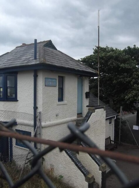
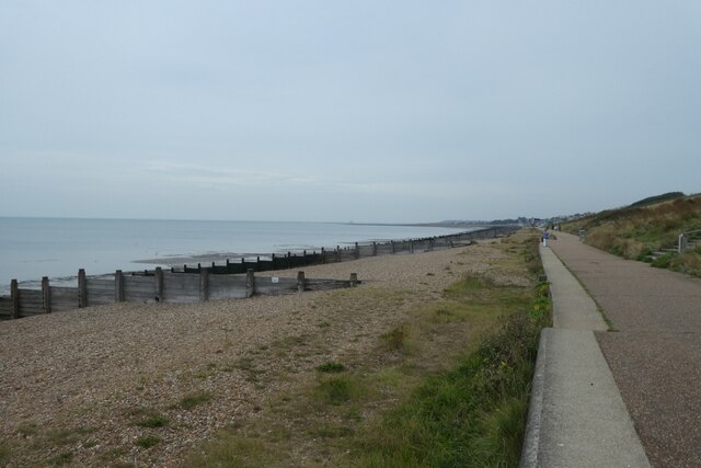
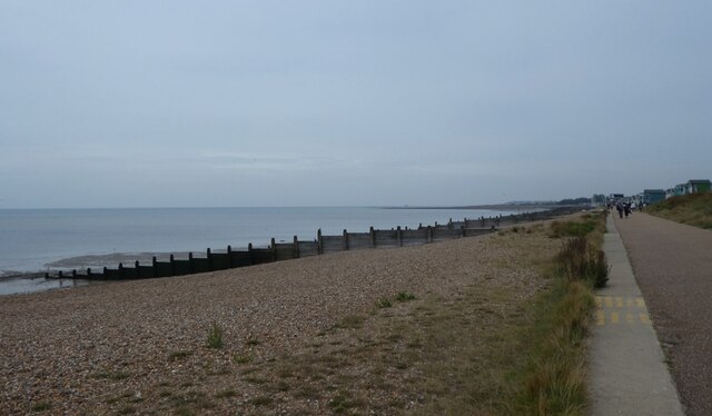
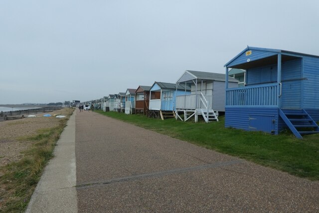
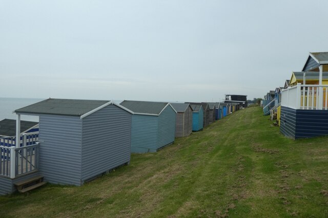
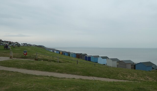
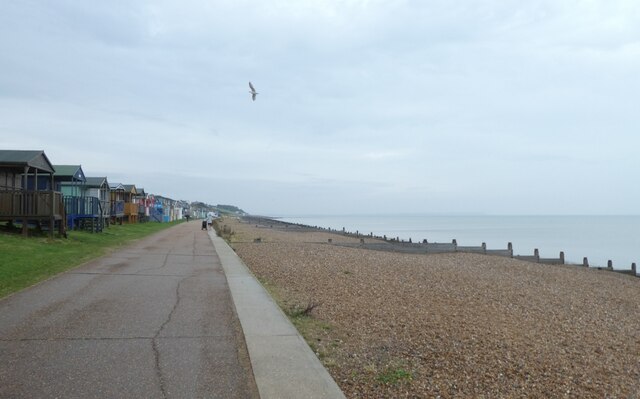
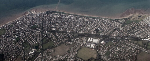
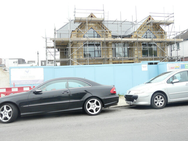
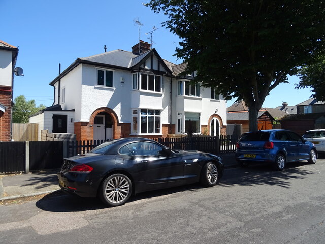
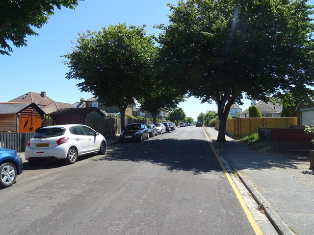
Chestfield Images

Images are sourced within 2km of 51.352434/1.064947 or Grid Reference TR1365. Thanks to Geograph Open Source API. All images are credited.

Coastguard Lookout
Coastguard Lookout
Path along the sea wall Looking across part of Tankerton Beach.
Path along the sea wall
Looking across part of Tankerton Beach.
Shingle on Tankerton Beach Looking east along the beach.
Shingle on Tankerton Beach
Looking east along the beach.
Beach huts and cycle path Looking along the path beside Tankerton Beach.
Beach huts and cycle path
Looking along the path beside Tankerton Beach.
Rows of beach huts Looking along lines of beach huts beside Tankerton Beach.
Rows of beach huts
Looking along lines of beach huts beside Tankerton Beach.
Above Tankerton Beach Looking down towards Tankerton Beach from a little cafe.
Above Tankerton Beach
Looking down towards Tankerton Beach from a little cafe.
West along the beach Looking along Tankerton Beach towards Whitstable.
West along the beach
Looking along Tankerton Beach towards Whitstable.
Whitstable from the air Tankerton and its beach are prominent in this view which was taken from a Gatwick bound flight from Prague.

See also <a href="https://www.geograph.org.uk/photo/7091170">TR1265 : Whitstable from the air</a>.
Whitstable from the air
Tankerton and its beach are prominent in this view which was taken from a Gatwick bound flight from Prague. See also TR1265 : Whitstable from the air.
Whitstable from the air South Tankerton plus Tankerton and its beach are prominent in this view which was taken from a Gatwick bound flight from Prague.

See also <a href="https://www.geograph.org.uk/photo/7091164">TR1266 : Whitstable from the air</a>.
Whitstable from the air
South Tankerton plus Tankerton and its beach are prominent in this view which was taken from a Gatwick bound flight from Prague. See also TR1266 : Whitstable from the air.
8, St Anne's Road This view shows the former house that occupied <a href="https://www.geograph.org.uk/photo/6389889">TR1167 : 8, St Anne’s Road</a>.
8, St Anne's Road
This view shows the former house that occupied TR1167 : 8, St Anne’s Road.
Houses on Graystone Road, Whitstable
Graystone Road, Whitstable
Shelter on Marine Parade, Whitstable
Apartments on Marine Parade, Whitstable Junction with Graystone Road.
Apartments on Marine Parade, Whitstable
Junction with Graystone Road.
Green beside Marine Parade People relaxing on a hot Summer day.
Green beside Marine Parade
People relaxing on a hot Summer day.
Tankerton Beach
Tankerton Beach
The Royal public house, Whitstable On Marine Parade.
See <a href="https://www.geograph.org.uk/photo/7224025">TR1267 : Sign for the Royal public house, Whitstable</a> for sign.
The Royal public house, Whitstable
The Royal public house, Whitstable On Marine Parade.
See <a href="https://www.geograph.org.uk/photo/7224025">TR1267 : Sign for the Royal public house, Whitstable</a> for sign.
The Royal public house, Whitstable
Show me another place!

Chestfield is located at Grid Ref: TR1365 (Lat: 51.352434, Lng: 1.064947)

Administrative County: Kent

District: Canterbury

Police Authority: Kent

What 3 Words

///lows.speech.cult. Near Tankerton, Kent

Nearby Locations

Chestfield

Related Wikis

Chestfield

Chestfield is a village (and civil parish and with Swalecliffe a district council ward) in the Canterbury District of Kent, England. The parish is centred...

Chestfield & Swalecliffe railway station

Chestfield and Swalecliffe railway station is on the Ramsgate branch of the Chatham Main Line in England, serving the villages of Chestfield, Swalecliffe...

Heart Kent

Heart Kent (previously Invicta FM) was an Independent Local Radio station owned and operated by Global Radio as part of the Heart network. It broadcast...

Swalecliffe

Swalecliffe is a part of the ribbon development of the north Kent coast between Whitstable and Herne Bay in Southeast England. It forms Swalecliffe ward...

Nearby Amenities

Located within 500m of 51.352434,1.064947
Post Box
Collection Times: Mo-Fr 09:00; Sa 07:00
Post Box Design: type_b
Post Box Type: pillar
Postal Code: CT5
Ref: CT5 281
Royal Cypher: EIIR
Royal Cypher Wikidata: Q33102113
Source: survey
Lat/Long: 51.356346/1.0648596
Traffic Calming: table
Lat/Long: 51.353887/1.0713769
Bus Stop
Willow Way
Naptan AtcoCode: 2400A040950A
Naptan Bearing: N
Naptan CommonName: Willow Way
Naptan Indicator: adj
Naptan Landmark: The Drive
Naptan NaptanCode: kntdtajw
Naptan PlusbusZoneRef: HRNEBAY
Naptan Street: Chestfield Road
Naptan Verified: no
Public Transport: platform
Ref: kntdtajw
Source: naptan_import
Source Date: 2018-01-12
Lat/Long: 51.3519659/1.0648838
Post Box
Post Box Mounting: metal_post
Post Box Type: lamp
Postal Code: CT5
Ref: CT5 387
Royal Cypher: EIIR
Royal Cypher Wikidata: Q33102113
Source: survey
Lat/Long: 51.3540481/1.0683193
Bus Stop
Lat/Long: 51.3530559/1.0647582
Post Box
Brand: Royal Mail
Brand Wikidata: Q638098
Collection Times: Mo-Fr 09:00; Sa 07:00
Operator: Royal Mail
Operator Wikidata: Q638098
Post Box Mounting: stone_pillar
Post Box Type: wall
Postal Code: CT5
Ref: CT5 244
Royal Cypher: GR
Royal Cypher Wikidata: Q33102273
Source: survey
Lat/Long: 51.350576/1.0650866
Bus Stop
Golf Club
Naptan AtcoCode: 2400A040890A
Naptan Bearing: S
Naptan CommonName: Golf Club
Naptan Indicator: adj
Naptan Landmark: Chestfield Golf Club
Naptan NaptanCode: kntdtaja
Naptan PlusbusZoneRef: HRNEBAY
Naptan Street: Chestfield Road
Naptan Verified: no
Public Transport: platform
Ref: kntdtaja
Source: naptan_import
Source Date: 2018-01-12
Lat/Long: 51.3502592/1.0651433
Bus Stop
Cherry Orchard
Naptan AtcoCode: 2400A040900A
Naptan Bearing: S
Naptan CommonName: Cherry Orchard
Naptan Indicator: opp
Naptan Landmark: Cherry Orchard
Naptan NaptanCode: kntdtajd
Naptan Street: Chestfield Road
Naptan Verified: no
Public Transport: platform
Ref: kntdtajd
Source: naptan_import
Source Date: 2018-01-12
Lat/Long: 51.3480022/1.0640878
Source: survey
Lat/Long: 51.3512137/1.060041
Bus Stop
Cherry Orchard
Flag: no
Naptan AtcoCode: 240096725
Naptan Bearing: N
Naptan BusStopType: CUS
Naptan CommonName: Cherry Orchard
Naptan Indicator: adj
Naptan Landmark: Cherry Orchard
Naptan NaptanCode: kntgmdad
Naptan Street: Chestfield Road
Naptan Verified: no
Public Transport: platform
Ref: kntgmdad
Source: naptan_import
Source Date: 2018-01-12
Lat/Long: 51.3480703/1.0638912
Bus Stop
The Leas
Naptan AtcoCode: 2400A040870A
Naptan Bearing: S
Naptan CommonName: The Leas
Naptan Indicator: adj
Naptan Landmark: WI Hall
Naptan NaptanCode: kntdtagt
Naptan PlusbusZoneRef: HRNEBAY
Naptan Street: Chestfield Road
Naptan Verified: no
Public Transport: platform
Ref: kntdtagt
Source: naptan_import
Source Date: 2018-01-12
Lat/Long: 51.3560461/1.0646679
Bus Stop
Willow Way
Naptan AtcoCode: 2400A040880A
Naptan Bearing: S
Naptan CommonName: Willow Way
Naptan Indicator: opp
Naptan Landmark: Willow Way
Naptan NaptanCode: kntdtagw
Naptan PlusbusZoneRef: HRNEBAY
Naptan Street: Chestfield Road
Naptan Verified: no
Public Transport: platform
Ref: kntdtagw
Source: naptan_import
Source Date: 2018-01-12
Lat/Long: 51.3530984/1.0649164
Bus Stop
The Leas
Naptan AtcoCode: 2400A040960A
Naptan Bearing: N
Naptan CommonName: The Leas
Naptan Indicator: opp
Naptan Landmark: The Leas
Naptan NaptanCode: kntdtama
Naptan PlusbusZoneRef: HRNEBAY
Naptan Street: Chestfield Road
Naptan Verified: no
Public Transport: platform
Ref: kntdtama
Source: naptan_import
Source Date: 2018-01-12
Lat/Long: 51.3562008/1.0646031
Chestfield
Is In: Kent
Place: village
Wikidata: Q744724
Lat/Long: 51.3537583/1.0673173
Bicycle Parking
Bicycle Parking: stands
Capacity: 6
Covered: no
Lat/Long: 51.3546132/1.0638663
Traffic Calming: hump
Lat/Long: 51.3483598/1.0627647
Generator Method: photovoltaic
Generator Output Electricity: yes
Generator Source: solar
Generator Type: solar_photovoltaic_panel
Location: roof
Power: generator
Lat/Long: 51.3535391/1.0681308
Generator Method: photovoltaic
Generator Output Electricity: yes
Generator Source: solar
Generator Type: solar_photovoltaic_panel
Location: roof
Power: generator
Lat/Long: 51.3535408/1.0681603
Generator Method: photovoltaic
Generator Output Electricity: yes
Generator Source: solar
Generator Type: solar_photovoltaic_panel
Location: roof
Power: generator
Lat/Long: 51.3532794/1.0693001
Generator Method: photovoltaic
Generator Output Electricity: yes
Generator Source: solar
Generator Type: solar_photovoltaic_panel
Location: roof
Power: generator
Lat/Long: 51.3532878/1.0692572
Generator Method: photovoltaic
Generator Output Electricity: yes
Generator Solar Modules: 15
Generator Source: solar
Generator Type: solar_photovoltaic_panel
Location: roof
Power: generator
Lat/Long: 51.3529519/1.0662528
Generator Method: photovoltaic
Generator Output Electricity: yes
Generator Solar Modules: 16
Generator Source: solar
Generator Type: solar_photovoltaic_panel
Location: roof
Power: generator
Lat/Long: 51.3538825/1.0706909
Generator Method: photovoltaic
Generator Output Electricity: yes
Generator Solar Modules: 18
Generator Source: solar
Generator Type: solar_photovoltaic_panel
Location: roof
Power: generator
Lat/Long: 51.3554888/1.0679188
Generator Method: photovoltaic
Generator Output Electricity: yes
Generator Solar Modules: 16
Generator Source: solar
Generator Type: solar_photovoltaic_panel
Location: roof
Power: generator
Lat/Long: 51.3560119/1.0690406
Generator Method: photovoltaic
Generator Output Electricity: yes
Generator Source: solar
Generator Type: solar_photovoltaic_panel
Location: roof
Power: generator
Lat/Long: 51.3565123/1.0622728
Generator Method: photovoltaic
Generator Output Electricity: yes
Generator Solar Modules: 16
Generator Source: solar
Generator Type: solar_photovoltaic_panel
Location: roof
Power: generator
Lat/Long: 51.3494961/1.0604288
Generator Method: photovoltaic
Generator Output Electricity: yes
Generator Solar Modules: 16
Generator Source: solar
Generator Type: solar_photovoltaic_panel
Location: roof
Power: generator
Lat/Long: 51.3494271/1.062197
Generator Method: photovoltaic
Generator Output Electricity: yes
Generator Solar Modules: 13
Generator Source: solar
Generator Type: solar_photovoltaic_panel
Location: roof
Power: generator
Lat/Long: 51.3500673/1.0610021
Generator Method: photovoltaic
Generator Output Electricity: yes
Generator Solar Modules: 15
Generator Source: solar
Generator Type: solar_photovoltaic_panel
Location: roof
Power: generator
Lat/Long: 51.3510624/1.0617746
Generator Method: photovoltaic
Generator Output Electricity: yes
Generator Solar Modules: 14
Generator Source: solar
Generator Type: solar_photovoltaic_panel
Location: roof
Power: generator
Lat/Long: 51.3510427/1.0613172
Generator Method: photovoltaic
Generator Output Electricity: yes
Generator Solar Modules: 20
Generator Source: solar
Generator Type: solar_photovoltaic_panel
Location: roof
Power: generator
Lat/Long: 51.3529627/1.067373
Generator Method: photovoltaic
Generator Output Electricity: yes
Generator Solar Modules: 16
Generator Source: solar
Generator Type: solar_photovoltaic_panel
Location: roof
Power: generator
Lat/Long: 51.3528929/1.0668292
Generator Method: photovoltaic
Generator Output Electricity: yes
Generator Source: solar
Generator Type: solar_photovoltaic_panel
Location: roof
Power: generator
Lat/Long: 51.3532025/1.0674763
Generator Method: photovoltaic
Generator Output Electricity: yes
Generator Source: solar
Generator Type: solar_photovoltaic_panel
Location: roof
Power: generator
Lat/Long: 51.3532242/1.0687972
Generator Method: photovoltaic
Generator Output Electricity: yes
Generator Source: solar
Generator Type: solar_photovoltaic_panel
Location: roof
Power: generator
Lat/Long: 51.3509041/1.0692425
Generator Method: photovoltaic
Generator Output Electricity: yes
Generator Solar Modules: 16
Generator Source: solar
Generator Type: solar_photovoltaic_panel
Location: roof
Power: generator
Lat/Long: 51.3527083/1.0703542
Generator Method: photovoltaic
Generator Output Electricity: yes
Generator Source: solar
Generator Type: solar_photovoltaic_panel
Location: roof
Power: generator
Lat/Long: 51.354648/1.070888
Generator Method: photovoltaic
Generator Output Electricity: yes
Generator Solar Modules: 4
Generator Source: solar
Generator Type: solar_photovoltaic_panel
Location: roof
Power: generator
Lat/Long: 51.3494865/1.0603496
Generator Method: photovoltaic
Generator Output Electricity: yes
Generator Solar Modules: 18
Generator Source: solar
Generator Type: solar_photovoltaic_panel
Location: roof
Power: generator
Lat/Long: 51.3511347/1.0641866
Generator Method: photovoltaic
Generator Output Electricity: yes
Generator Source: solar
Generator Type: solar_photovoltaic_panel
Location: roof
Power: generator
Lat/Long: 51.3518054/1.0668044
Generator Method: photovoltaic
Generator Output Electricity: yes
Generator Source: solar
Generator Type: solar_photovoltaic_panel
Location: roof
Power: generator
Lat/Long: 51.3528959/1.0680127
Generator Method: photovoltaic
Generator Output Electricity: yes
Generator Source: solar
Generator Type: solar_photovoltaic_panel
Location: roof
Power: generator
Lat/Long: 51.3507643/1.0692291
Generator Method: photovoltaic
Generator Output Electricity: yes
Generator Solar Modules: 16
Generator Source: solar
Generator Type: solar_photovoltaic_panel
Location: roof
Power: generator
Lat/Long: 51.3561119/1.0650462
The data included in this document is from www.openstreetmap.org. The data is made available under ODbL.

Have you been to Chestfield?

Leave your review of Chestfield below (or comments, questions and feedback).