Arnold's Hill Coppice

Wood, Forest in Devon

England

Arnold's Hill Coppice

Old Boundary Markers on Tavistock Road, Plymouth Two Parish Boundary Markers on the west side of the A386 Tavistock Road, Plymouth, set in a recess in the front garden wall of No.451. Until 1951 these marked the boundary of Tamerton Foliot and Bickleigh parishes but thereafter were entirely in Plymouth. Google Earth shows that the timber frame has now been removed.

On the left is DV_PLPB01pb inscribed Tamerton / (Foliott).

On the right is DV_PLPB03pb inscribed Bickleigh
Old Boundary Markers on Tavistock Road, Plymouth Credit: T Jenkinson

Arnold's Hill Coppice is a picturesque woodland located in the county of Devon, England. This enchanting forest covers an area of approximately 50 hectares and is situated on the eastern side of Dartmoor National Park. The coppice is named after the nearby Arnold's Hill, which provides a stunning backdrop to the woodland.

The coppice is primarily composed of broadleaf trees, including oak, beech, and ash, which create a diverse and rich ecosystem. The dense canopy of the trees allows only dappled sunlight to filter through, creating a tranquil and magical atmosphere. The forest floor is covered with a variety of wildflowers, ferns, and mosses, further enhancing the beauty of the woodland.

Arnold's Hill Coppice is known for its abundant wildlife. Visitors may spot a wide range of bird species, such as woodpeckers, thrushes, and owls, nesting among the branches. The woodland is also home to several mammals, including deer, foxes, and badgers, which can occasionally be seen roaming through the undergrowth.

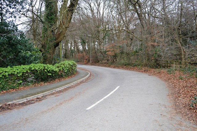
The woodland offers a network of well-maintained footpaths, allowing visitors to explore its natural wonders. These paths lead to secluded clearings and tranquil streams, providing opportunities for peaceful walks and picnics in the heart of nature. Additionally, the woodland is a popular spot for nature enthusiasts and photographers, who are drawn to its serene beauty and unique biodiversity.

Arnold's Hill Coppice is a truly remarkable destination for those seeking a serene and enchanting woodland experience. Its natural splendor and diverse wildlife make it an ideal location for relaxation, exploration, and immersion in the wonders of nature.

If you have any feedback on the listing, please let us know in the comments section below.

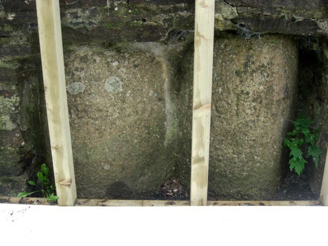
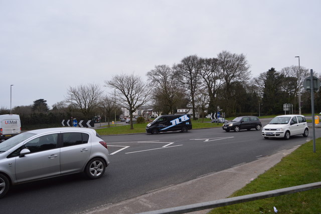
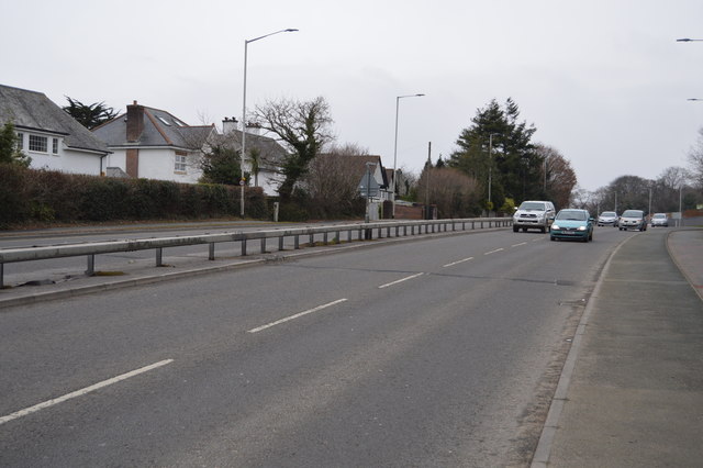
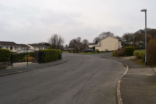
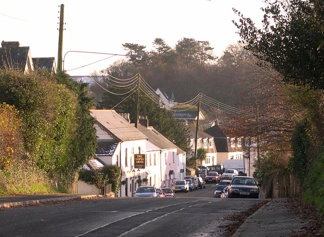
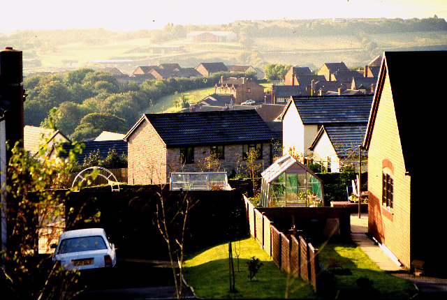
Arnold's Hill Coppice Images

Images are sourced within 2km of 50.437614/-4.1240087 or Grid Reference SX4961. Thanks to Geograph Open Source API. All images are credited.

Old Boundary Markers on Tavistock Road, Plymouth Two Parish Boundary Markers on the west side of the A386 Tavistock Road, Plymouth, set in a recess in the front garden wall of No.451. Until 1951 these marked the boundary of Tamerton Foliot and Bickleigh parishes but thereafter were entirely in Plymouth. Google Earth shows that the timber frame has now been removed.

On the left is DV_PLPB01pb inscribed Tamerton / (Foliott).

On the right is DV_PLPB03pb inscribed Bickleigh
Old Boundary Markers on Tavistock Road, Plymouth
Two Parish Boundary Markers on the west side of the A386 Tavistock Road, Plymouth, set in a recess in the front garden wall of No.451. Until 1951 these marked the boundary of Tamerton Foliot and Bickleigh parishes but thereafter were entirely in Plymouth. Google Earth shows that the timber frame has now been removed. On the left is DV_PLPB01pb inscribed Tamerton / (Foliott). On the right is DV_PLPB03pb inscribed Bickleigh
Old Boundary Marker on Tavistock Road, Plymouth Parish Boundary Marker on the west side of the A386 Tavistock Road in the front garden wall of No.451 but visible from the road. Inscribed T and B on opposite faces. Until 1951 this marked the boundary of Tamerton Foliot and Bickleigh parishes but thereafter was entirely in Plymouth.

Milestone Society National ID: DV_PLPB02pb
Old Boundary Marker on Tavistock Road, Plymouth
Parish Boundary Marker on the west side of the A386 Tavistock Road in the front garden wall of No.451 but visible from the road. Inscribed T and B on opposite faces. Until 1951 this marked the boundary of Tamerton Foliot and Bickleigh parishes but thereafter was entirely in Plymouth. Milestone Society National ID: DV_PLPB02pb
The A386 The Dartmoor Diner near Roborough.
The A386
The Dartmoor Diner near Roborough.
A386 near Roborough The A386 is a 60 mile long road across Devon. It runs from Plymouth to Appledore.
<span class="nowrap"><a title="http://www.sabre-roads.org.uk/wiki/index.php?title=A386" rel="nofollow ugc noopener" href="http://www.sabre-roads.org.uk/wiki/index.php?title=A386">Link</a><img style="margin-left:2px;" alt="External link" title="External link - shift click to open in new window" src="https://s1.geograph.org.uk/img/external.png" width="10" height="10"/></span>
A386 near Roborough
The A386 is a 60 mile long road across Devon. It runs from Plymouth to Appledore. LinkExternal link
A386 entering Plymouth The A386 is a 60 mile long road across Devon. It runs from Plymouth to Appledore.
<span class="nowrap"><a title="http://www.sabre-roads.org.uk/wiki/index.php?title=A386" rel="nofollow ugc noopener" href="http://www.sabre-roads.org.uk/wiki/index.php?title=A386">Link</a><img style="margin-left:2px;" alt="External link" title="External link - shift click to open in new window" src="https://s1.geograph.org.uk/img/external.png" width="10" height="10"/></span>
A386 entering Plymouth
The A386 is a 60 mile long road across Devon. It runs from Plymouth to Appledore. LinkExternal link
A386, southbound The A386 is a 60 mile long road across Devon. It runs from Plymouth to Appledore.
<span class="nowrap"><a title="http://www.sabre-roads.org.uk/wiki/index.php?title=A386" rel="nofollow ugc noopener" href="http://www.sabre-roads.org.uk/wiki/index.php?title=A386">Link</a><img style="margin-left:2px;" alt="External link" title="External link - shift click to open in new window" src="https://s1.geograph.org.uk/img/external.png" width="10" height="10"/></span>
A386, southbound
The A386 is a 60 mile long road across Devon. It runs from Plymouth to Appledore. LinkExternal link
455, Tavistock Rd
455, Tavistock Rd
Roundabout, Tavistock Rd
A386 The A386 is a 60 mile long road across Devon. It runs from Plymouth to Appledore.
<span class="nowrap"><a title="http://www.sabre-roads.org.uk/wiki/index.php?title=A386" rel="nofollow ugc noopener" href="http://www.sabre-roads.org.uk/wiki/index.php?title=A386">Link</a><img style="margin-left:2px;" alt="External link" title="External link - shift click to open in new window" src="https://s1.geograph.org.uk/img/external.png" width="10" height="10"/></span>
A386
The A386 is a 60 mile long road across Devon. It runs from Plymouth to Appledore. LinkExternal link
Footbridge, A386 The A386 is a 60 mile long road across Devon. It runs from Plymouth to Appledore.
<span class="nowrap"><a title="http://www.sabre-roads.org.uk/wiki/index.php?title=A386" rel="nofollow ugc noopener" href="http://www.sabre-roads.org.uk/wiki/index.php?title=A386">Link</a><img style="margin-left:2px;" alt="External link" title="External link - shift click to open in new window" src="https://s1.geograph.org.uk/img/external.png" width="10" height="10"/></span>
Footbridge, A386
The A386 is a 60 mile long road across Devon. It runs from Plymouth to Appledore. LinkExternal link
Bickleigh Down Rd
Bickleigh Down Rd
Vet, Roborough Roborough is a small village  in South Hams. It lies just north of Plymouth. The A386 bypasses the village. The village has a pub.
Vet, Roborough
Roborough is a small village in South Hams. It lies just north of Plymouth. The A386 bypasses the village. The village has a pub.
Leat Walk Roborough is a small village  in South Hams. It lies just north of Plymouth. The A386 bypasses the village. The village has a pub.
Leat Walk
Roborough is a small village in South Hams. It lies just north of Plymouth. The A386 bypasses the village. The village has a pub.
Cottages, Roborough Roborough is a small village  in South Hams. It lies just north of Plymouth. The A386 bypasses the village. The village has a pub.
Cottages, Roborough
Roborough is a small village in South Hams. It lies just north of Plymouth. The A386 bypasses the village. The village has a pub.
Row of cottages Roborough is a small village  in South Hams. It lies just north of Plymouth. The A386 bypasses the village. The village has a pub.
Row of cottages
Roborough is a small village in South Hams. It lies just north of Plymouth. The A386 bypasses the village. The village has a pub.
Village Drive Roborough is a small village  in South Hams. It lies just north of Plymouth. The A386 bypasses the village. The village has a pub.
Village Drive
Roborough is a small village in South Hams. It lies just north of Plymouth. The A386 bypasses the village. The village has a pub.
Show me another place!

Arnold's Hill Coppice is located at Grid Ref: SX4961 (Lat: 50.437614, Lng: -4.1240087)

Unitary Authority: Plymouth

Police Authority: Devon and Cornwall

What 3 Words

///toast.void.item. Near Yelverton, Devon

Related Wikis

Roborough, South Hams

Roborough is a village in the South Hams of Devon, England. Former home of Plymouth City Airport (and formerly to RAF Roborough), Roborough lies just outside...

Southway Community College

Southway Community College was a comprehensive school for ages 11–18 in Southway, Plymouth, England. It was opened in 1962 as Southway Comprehensive School...

Southway

Southway is a large suburban housing estate in north-west Plymouth in the English county of Devon. The name is believed to have derived from the route...

Notre Dame Catholic School

Notre Dame RC School is a Roman Catholic school for girls in Derriford, Plymouth, England. Its sister school is St Boniface's Catholic College. The former...

Woolwell

Woolwell is a suburb on the north-east fringe of the city of Plymouth, England, located just outside the city's boundaries in the district of the South...

RAF Roborough

Royal Air Force Roborough or more simply RAF Roborough is a former Royal Air Force station in Roborough located 3.8 miles (6.1 km) north of Plymouth, Devon...

Plymouth City Airport

Plymouth City Airport (IATA: PLH, ICAO: EGHD) was an airport located within the City of Plymouth 3.5 NM (6.5 km; 4.0 mi) north northeast of the city centre...

Plymouth Marjon University

Plymouth Marjon University, commonly referred to as Marjon, is the trading name of the University of St Mark and St John, a university based primarily...

Related Videos

PALMERSTON HEIGHTS, scene of “ PLYMOUTH’S FORGOTTEN BATTLEFIELD” that NEVER WAS!

PALMERSTON HEIGHTS, scene of “ PLYMOUTH'S FORGOTTEN BATTLEFIELD” that NEVER WAS!

Winter Roundabout STEALTH Camp

818 Hey everyone, sorry it's been so long. Hopefully you enjoy this one. if you have any questions ask me in the comments.

Found another peaceful place 🥰

beautifulday #nature #beautiful #photooftheday #love #photography #instagood #summer #sunnyday #sky #naturephotography ...

Nearby Amenities

Located within 500m of 50.437614,-4.1240087
Ford: yes
Lat/Long: 50.4371619/-4.1170373
Power: pole
Lat/Long: 50.4339399/-4.1216794
Power: pole
Lat/Long: 50.4340721/-4.1219962
Power: pole
Lat/Long: 50.4342485/-4.1236368
Power: pole
Lat/Long: 50.434412/-4.1251918
Power: pole
Lat/Long: 50.4345228/-4.1262571
Power: pole
Lat/Long: 50.4343999/-4.1269094
Power: pole
Lat/Long: 50.4342028/-4.1279844
Haxter Wood
Natural: wood
Lat/Long: 50.4410113/-4.1215566
Porsham Wood
Natural: wood
Lat/Long: 50.4353978/-4.1274959
Generator Method: photovoltaic
Generator Output Electricity: yes
Generator Source: solar
Generator Type: solar_photovoltaic_panel
Location: roof
Power: generator
Lat/Long: 50.4334622/-4.1264874
Generator Method: photovoltaic
Generator Output Electricity: yes
Generator Source: solar
Generator Type: solar_photovoltaic_panel
Location: roof
Power: generator
Lat/Long: 50.4332546/-4.1227859
Generator Method: photovoltaic
Generator Output Electricity: yes
Generator Source: solar
Generator Type: solar_photovoltaic_panel
Location: roof
Power: generator
Lat/Long: 50.4333076/-4.1228128
Generator Method: photovoltaic
Generator Output Electricity: yes
Generator Source: solar
Generator Type: solar_photovoltaic_panel
Location: roof
Power: generator
Lat/Long: 50.4332068/-4.1231185
Generator Method: photovoltaic
Generator Output Electricity: yes
Generator Source: solar
Generator Type: solar_photovoltaic_panel
Location: roof
Power: generator
Lat/Long: 50.4331828/-4.123199
Ford: yes
Lat/Long: 50.4341504/-4.1197921
Street Lamp
Survey Date: 2022-05-19
Lat/Long: 50.4335001/-4.1255365
Street Lamp
Ref: 23
Survey Date: 2022-05-19
Lat/Long: 50.4337036/-4.1272762
Street Lamp
Ref: 24
Survey Date: 2022-05-19
Lat/Long: 50.433723/-4.126895
Street Lamp
Ref: 26
Survey Date: 2022-05-19
Lat/Long: 50.4338583/-4.1264409
Street Lamp
Survey Date: 2022-05-19
Lat/Long: 50.434011/-4.1262091
Street Lamp
Survey Date: 2022-05-19
Lat/Long: 50.4336056/-4.1262387
Man Made: street_cabinet
Survey Date: 2022-05-19
Lat/Long: 50.4333928/-4.1257254
Street Lamp
Survey Date: 2022-05-19
Lat/Long: 50.4332229/-4.1255503
Street Lamp
Ref: 6
Survey Date: 2022-05-19
Lat/Long: 50.4334311/-4.1259353
Waste Basket
Survey Date: 2022-05-19
Lat/Long: 50.4333958/-4.1217378
Bench
Backrest: yes
Survey Date: 2022-05-19
Lat/Long: 50.4333917/-4.1217309
The data included in this document is from www.openstreetmap.org. The data is made available under ODbL.

Have you been to Arnold's Hill Coppice?

Leave your review of Arnold's Hill Coppice below (or comments, questions and feedback).