Chesterton
Settlement in Gloucestershire Cotswold
England
Chesterton
Chesterton is a small village located in the county of Gloucestershire, England. Situated approximately 4 miles southwest of the historic town of Cirencester, Chesterton is nestled in the beautiful Cotswolds region. With a population of around 500 residents, the village exudes a charming and tranquil atmosphere.
The village itself is characterized by its picturesque stone cottages, many of which date back to the 17th and 18th centuries, adding to the area's traditional appeal. The local architecture is predominantly Cotswold stone, giving the village a distinct and timeless aesthetic.
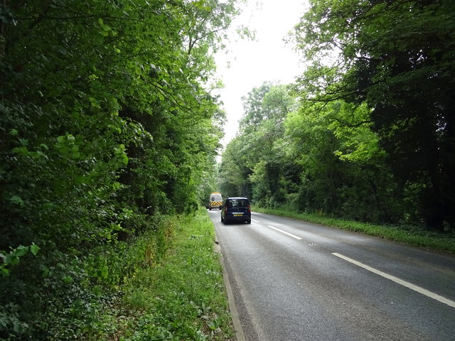
Chesterton is surrounded by rolling countryside, offering residents and visitors alike the opportunity to explore the idyllic landscapes on foot or by bike. The nearby Cotswold Water Park, a network of over 150 lakes, provides ample opportunities for water-based activities such as fishing, sailing, and kayaking.
The village boasts a sense of community spirit, with a village hall serving as a hub for local events and social gatherings. It also has a primary school, providing education for the village's younger residents.
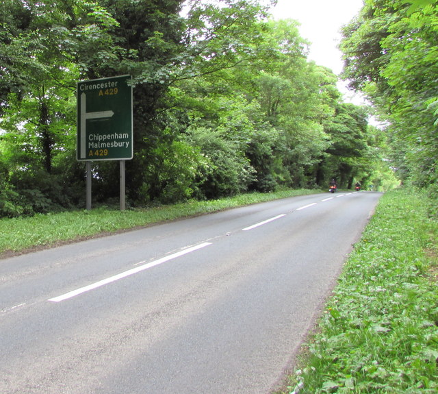
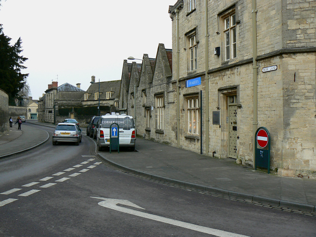
While Chesterton is predominantly residential, it benefits from its proximity to Cirencester, which offers a wider range of amenities including shops, supermarkets, restaurants, and leisure facilities. The village is well-connected to the surrounding area via road, with the A419 and A417 providing easy access to nearby towns and cities.
Overall, Chesterton offers a peaceful and picturesque setting, making it an attractive place to live for those seeking a rural lifestyle while still enjoying convenient access to nearby amenities.
If you have any feedback on the listing, please let us know in the comments section below.
Chesterton Images
Images are sourced within 2km of 51.70733/-1.979418 or Grid Reference SP0100. Thanks to Geograph Open Source API. All images are credited.


Chesterton is located at Grid Ref: SP0100 (Lat: 51.70733, Lng: -1.979418)
Administrative County: Gloucestershire
District: Cotswold
Police Authority: Gloucestershire
What 3 Words
///cheaply.nicknames.multiply. Near Cirencester, Gloucestershire
Nearby Locations
Related Wikis
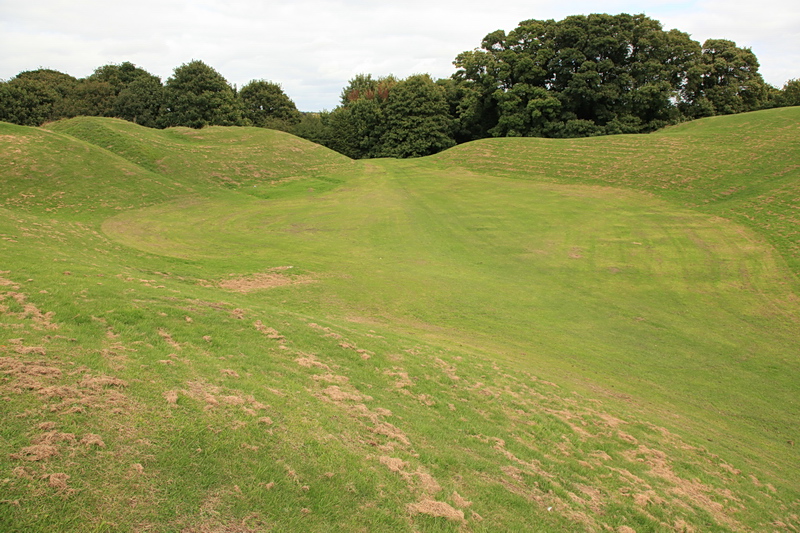
Cirencester Amphitheatre
Cirencester Amphitheatre was a Roman amphitheatre in Cirencester, Gloucestershire, England. Its remains are scheduled as an ancient monument.Archaeological...
Cirencester College
Cirencester College is a sixth form college based in the town of Cirencester in the South Cotswolds. It is a specialist sixth form provider serving communities...

Corinium Museum
The Corinium Museum, in the Cotswold town of Cirencester in England, has a large collection of objects found in and around the locality. The bulk of the...

Querns area, Cirencester
The Querns is an area of Cirencester, an ancient market town in the Cotswold hills of England. Its principal feature is Cirencester Amphitheatre, an impressive...
Cirencester Deer Park School
Cirencester Deer Park School is a secondary school Park. == History == Founded in 1966, the school combined Cirencester Grammar School with the town's...

Cirencester Town railway station
Cirencester Town railway station was one of three railway stations which formerly served the town of Cirencester, Gloucestershire, England; the others...
Chesterton Lane Halt railway station
Chesterton Lane Halt railway station was one of two intermediate halts on the Cirencester branch line from Kemble, Gloucestershire, England. It was only...
Cirencester Castle
Cirencester Castle was a castle in the town of Cirencester in Gloucestershire, England. The castle was originally built in the 11th century in timber,...
Nearby Amenities
Located within 500m of 51.70733,-1.979418Have you been to Chesterton?
Leave your review of Chesterton below (or comments, questions and feedback).