Little Weare Coppice

Wood, Forest in Devon Torridge

England

Little Weare Coppice

Tarka Trail using a disused railway bridge The Tarka Trail crosses the River Torridge.
Tarka Trail using a disused railway bridge Credit: David Smith

The requested URL returned error: 429 Too Many Requests

If you have any feedback on the listing, please let us know in the comments section below.

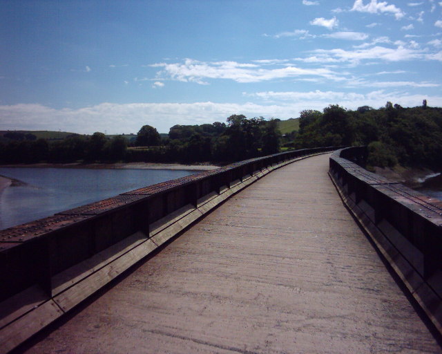
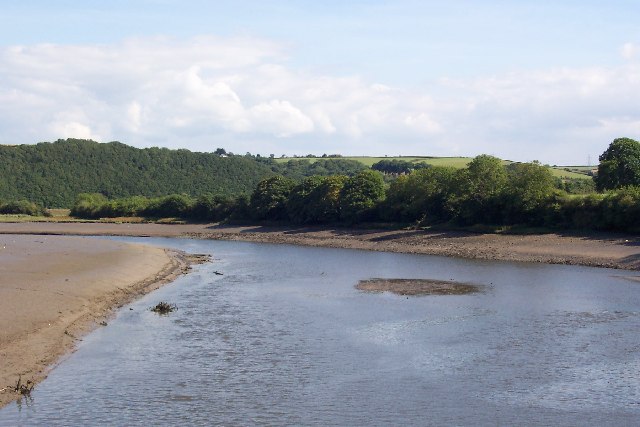
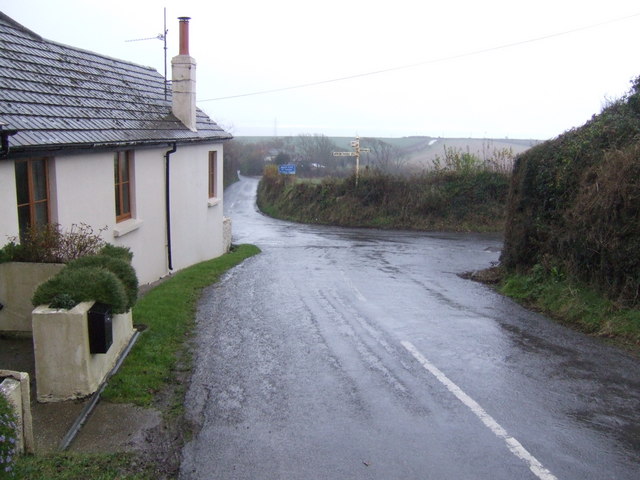
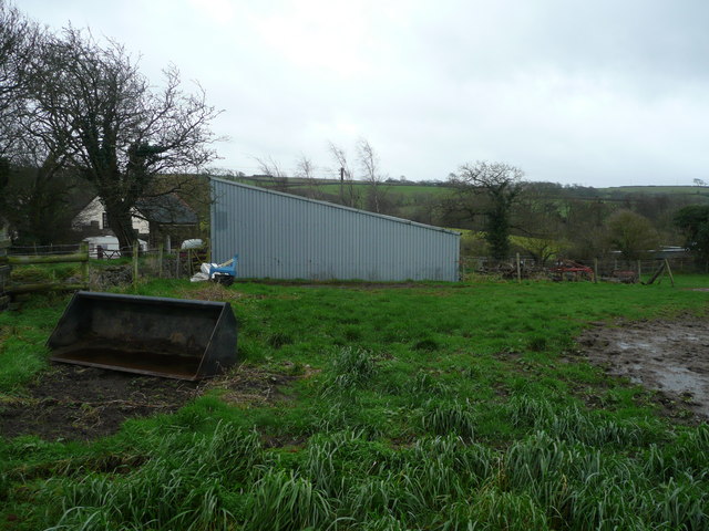
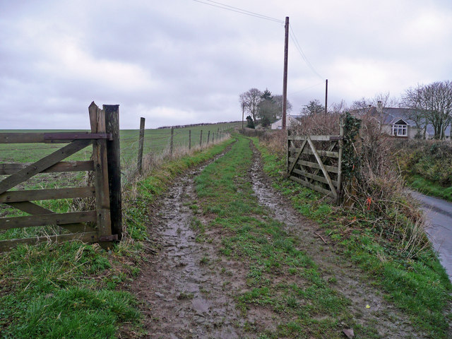
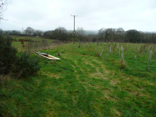
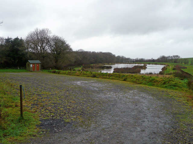
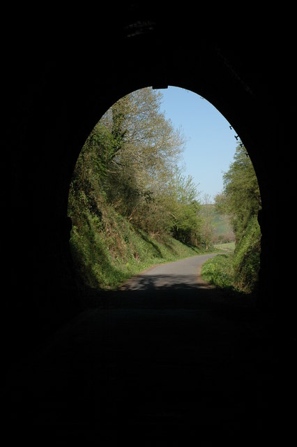
Little Weare Coppice Images

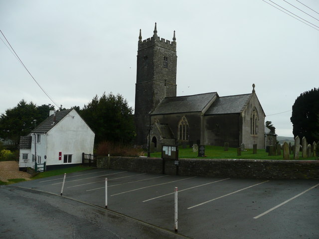
Images are sourced within 2km of 50.996064/-4.1631819 or Grid Reference SS4824. Thanks to Geograph Open Source API. All images are credited.

Tarka Trail using a disused railway bridge The Tarka Trail crosses the River Torridge.
Tarka Trail using a disused railway bridge
The Tarka Trail crosses the River Torridge.
Landcross, near Bideford Looking upstream from the Landcross Viaduct on the Tarka Trail. It is here that The Pool of Six Herons is set in the book "Tarka The Otter" by Henry Williamson.
Landcross, near Bideford
Looking upstream from the Landcross Viaduct on the Tarka Trail. It is here that The Pool of Six Herons is set in the book "Tarka The Otter" by Henry Williamson.
Wooden gate and fence View east of the Woodtown to Gammaton road. The clouds give the illusion of hills in the distance.
Wooden gate and fence
View east of the Woodtown to Gammaton road. The clouds give the illusion of hills in the distance.
Cross roads at Gammaton Moor A hamlet at the centre of a web of six lanes north of Great Torrington.
Cross roads at Gammaton Moor
A hamlet at the centre of a web of six lanes north of Great Torrington.
Used pasture Land has been used for stock, now gone. The mud patch will need repair in the spring. View west of Huxhill Farm, north of Great Torrington.
Used pasture
Land has been used for stock, now gone. The mud patch will need repair in the spring. View west of Huxhill Farm, north of Great Torrington.
View from Huntshaw Mill Bridge Looking south-west, downstream, towards this brook's confluence with the Torridge.
View from Huntshaw Mill Bridge
Looking south-west, downstream, towards this brook's confluence with the Torridge.
Southcott Barton The farm is viewed from the east by Cleave. A footpath makes its muddy way across the field from here.
Southcott Barton
The farm is viewed from the east by Cleave. A footpath makes its muddy way across the field from here.
Stone Farm Looking south towards Gammaton Barton.
Stone Farm
Looking south towards Gammaton Barton.
Muddy track to Woodville Farm The house round the corner is Bybury Cottage.
Muddy track to Woodville Farm
The house round the corner is Bybury Cottage.
Newly planted woodland near Beara A good use for sub-prime land.
Newly planted woodland near Beara
A good use for sub-prime land.
Fishing lake at Gammaton Run by the Bideford and District Anglers Club. View north of Gammaton Road, not on current mapping.
Fishing lake at Gammaton
Run by the Bideford and District Anglers Club. View north of Gammaton Road, not on current mapping.
Little Weare Barton A large farm in a fold of land to the south-west of Gammaton Cross.
Little Weare Barton
A large farm in a fold of land to the south-west of Gammaton Cross.
View over Hallspill A hamlet nestled on the east side of the Torridge valley.
View over Hallspill
A hamlet nestled on the east side of the Torridge valley.
The road becomes a river A deluge has created a river of the road down hill to Weare Giffard; here flowing between two cottages.
The road becomes a river
A deluge has created a river of the road down hill to Weare Giffard; here flowing between two cottages.
Bron Y Garth, Woodtown, Near Bideford
Woodtown House, Woodtown, Near Bideford
Entrance to Tennacott Farm With a view south over the Torridge valley.
Entrance to Tennacott Farm
With a view south over the Torridge valley.
Barn at Greatwood Farm North of the Gammaton Road near Bideford.
Barn at Greatwood Farm
North of the Gammaton Road near Bideford.
Show me another place!

Little Weare Coppice is located at Grid Ref: SS4824 (Lat: 50.996064, Lng: -4.1631819)

Administrative County: Devon

District: Torridge

Police Authority: Devon and Cornwall

What 3 Words

///ambushes.apple.slings. Near Bideford, Devon

Related Wikis

Berry Castle, Huntshaw

Berry Castle is an Iron Age Hill fort in the civil parish of Huntshaw, close to Weare Giffard in Devon, England, to the north of Great Torrington. The...

Landcross, Devon

Landcross is a hamlet and civil parish in the local government district of Torridge, Devon, England. The parish, which is the smallest in Devon, lies just...

Annery kiln

Annery kiln is a former limekiln of the estate of Annery, in the parish of Monkleigh, North Devon. It is situated on the left bank of the River Torridge...

Huntshaw

Huntshaw is a village and civil parish located 2.5 north north east of Great Torrington, in the Torridge district, in the county of Devon, England. In...

Nearby Amenities

Located within 500m of 50.996064,-4.1631819
Power: pole
Source: bing
Lat/Long: 50.998489/-4.1677451
Power: pole
Source: bing
Lat/Long: 50.9975926/-4.1667795
Power: pole
Source: bing
Lat/Long: 50.9968718/-4.1660392
Power: pole
Source: bing
Lat/Long: 50.9960767/-4.1651782
Power: pole
Source: bing
Lat/Long: 50.9956395/-4.1647249
Power: pole
Source: bing
Lat/Long: 50.9943954/-4.1633919
Power: pole
Source: bing
Lat/Long: 50.9935361/-4.1625202
Power: pole
Source: bing
Lat/Long: 50.9926784/-4.1615854
Direction: S
Generator Method: photovoltaic
Generator Output Electricity: yes
Generator Solar Modules: 6
Generator Source: solar
Generator Type: solar_photovoltaic_panel
Location: roof
Power: generator
Lat/Long: 50.9917778/-4.1635907
Direction: S
Generator Method: photovoltaic
Generator Output Electricity: yes
Generator Solar Modules: 12
Generator Source: solar
Generator Type: solar_photovoltaic_panel
Location: roof
Power: generator
Lat/Long: 50.9917803/-4.1636387
Power: pole
Source: bing
Transformer: distribution
Lat/Long: 50.9920757/-4.163762
Power: pole
Source: bing
Lat/Long: 50.9917533/-4.1651756
Power: pole
Source: bing
Lat/Long: 50.9926126/-4.1618094
Power: pole
Source: bing
Lat/Long: 50.9926464/-4.1616981
Power: pole
Source: bing
Lat/Long: 50.9918723/-4.1607325
The data included in this document is from www.openstreetmap.org. The data is made available under ODbL.

Have you been to Little Weare Coppice?

Leave your review of Little Weare Coppice below (or comments, questions and feedback).