South Yeo Woods
Wood, Forest in Devon North Devon
England
South Yeo Woods
South Yeo Woods is a picturesque woodland located in Devon, England. Situated near the village of Halwill Junction, this enchanting forest covers an area of approximately 35 hectares. The woods are part of a much larger forested area known as the Ruby Country, renowned for its stunning natural beauty and diverse wildlife.
South Yeo Woods boasts a rich history and dates back centuries. The woods were once part of the larger Eggesford Forest, which was established for hunting purposes by the Normans in the 11th century. Over time, the forest evolved into a valuable timber resource, with trees being harvested for shipbuilding during the Tudor period.
Today, South Yeo Woods is a protected area managed by the Forestry Commission. The woodland is predominantly comprised of native broadleaf trees, including oak, beech, and ash, creating a lush and vibrant canopy. Its undulating terrain features a network of footpaths, allowing visitors to explore and appreciate its natural wonders.
The woods provide a sanctuary for an array of wildlife, making it a popular destination for nature enthusiasts and birdwatchers. The diverse habitats within South Yeo Woods support a wide range of species, including roe deer, badgers, foxes, and various bird species such as woodpeckers and owls.
South Yeo Woods offers a tranquil and serene setting for visitors, with its peaceful atmosphere and stunning scenery. Whether it's a leisurely stroll, birdwatching, or simply immersing oneself in nature, this charming woodland provides a delightful escape from the hustle and bustle of everyday life.
If you have any feedback on the listing, please let us know in the comments section below.
South Yeo Woods Images
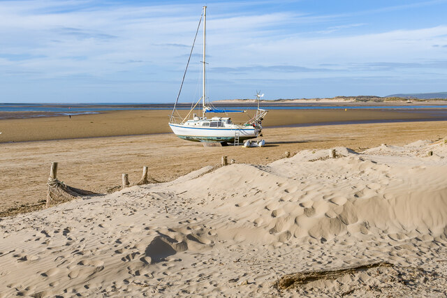
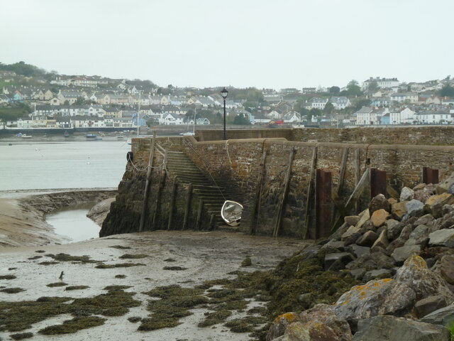
Images are sourced within 2km of 51.04381/-4.1738803 or Grid Reference SS4729. Thanks to Geograph Open Source API. All images are credited.


South Yeo Woods is located at Grid Ref: SS4729 (Lat: 51.04381, Lng: -4.1738803)
Administrative County: Devon
District: North Devon
Police Authority: Devon and Cornwall
What 3 Words
///grove.newsstand.streaks. Near Appledore, Devon
Nearby Locations
Related Wikis
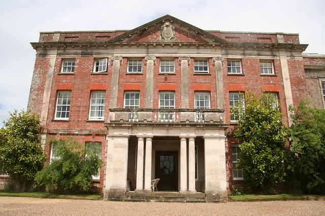
Tapeley
Tapeley is a historic estate in the parish of Westleigh in North Devon, England.The present mansion house known as Tapeley Park is a grade II* listed country...
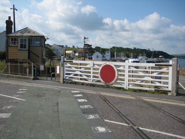
Instow railway station
Instow railway station was a railway station in the village of Instow, North Devon, England, on the Bideford Extension of the North Devon Railway. Opened...

Instow
Instow is a village in north Devon, England. It is on the estuary where the rivers Taw and Torridge meet, between the villages of Westleigh and Yelland...
All Saints Chapel, Instow
All Saints Chapel is a combined Church of England chapel and community centre in Instow, Devon, England. == History == All Saints was designed by the local...
Nearby Amenities
Located within 500m of 51.04381,-4.1738803Have you been to South Yeo Woods?
Leave your review of South Yeo Woods below (or comments, questions and feedback).