Cole's Wood

Wood, Forest in Devon West Devon

England

Cole's Wood

View over a gate - with benchmark There is a fine view over fields to higher ground beyond, south of the square. There is a benchmark on the right-hand stone gatepost. Awkwardly, it's on the hinge side of the post <a href="https://www.geograph.org.uk/photo/7045781">SX4683 : Benchmark on a gatepost</a>.
View over a gate - with benchmark Credit: Neville Goodman

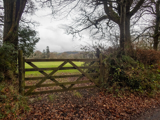
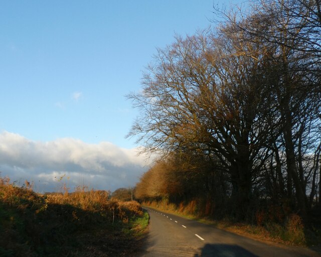
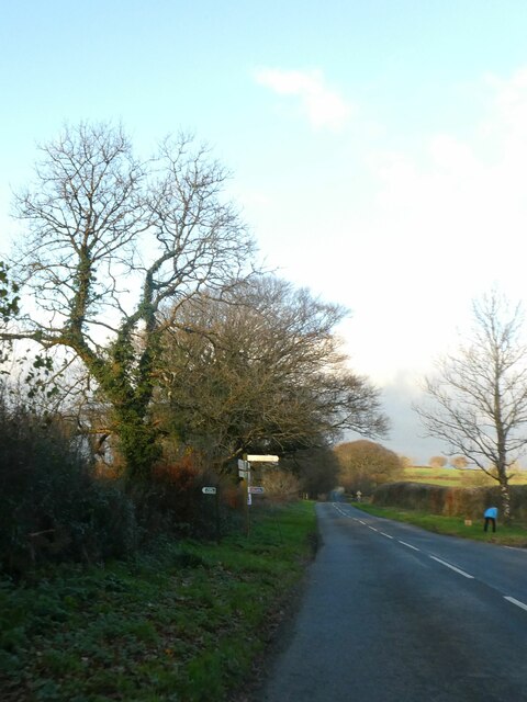
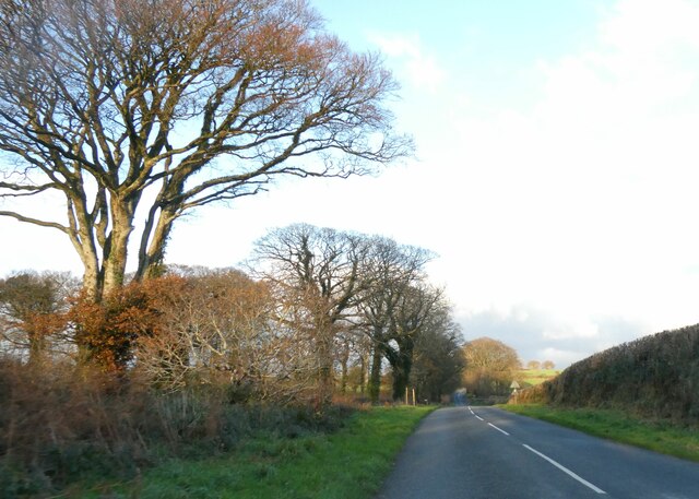
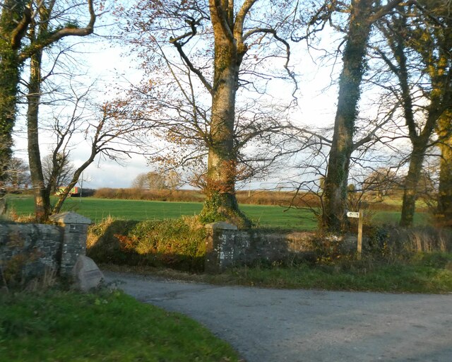
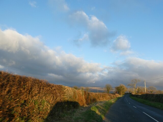
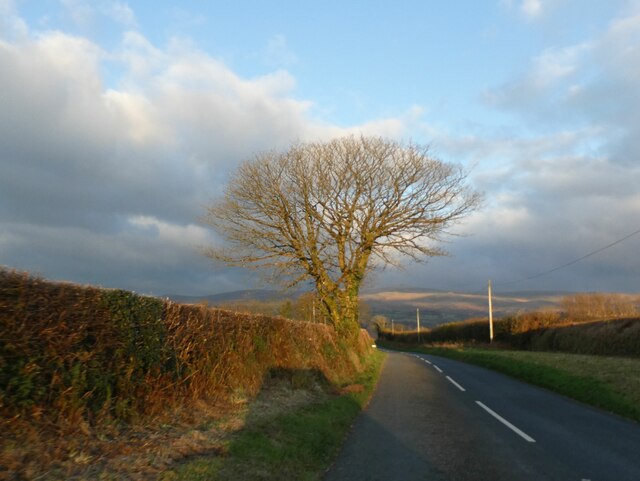
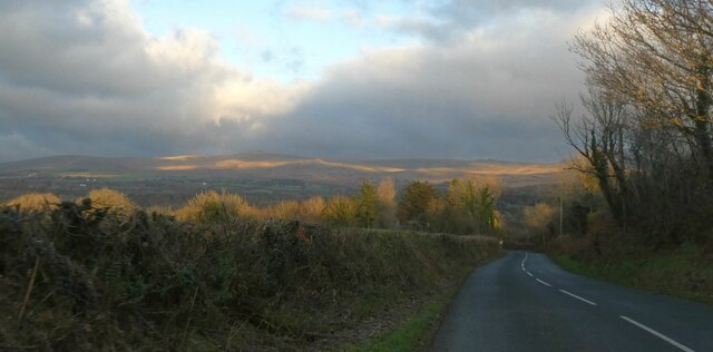
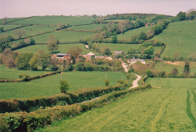
Cole's Wood is a serene and enchanting forest located in Devon, a county in southwestern England. Covering an area of approximately 100 acres, this woodland is a haven for nature enthusiasts and those seeking solace in the midst of nature's beauty. It is nestled amidst rolling hills and picturesque countryside, offering a peaceful escape from the bustling city life.

The wood is predominantly composed of native tree species, including oak, beech, and birch, creating a diverse and vibrant ecosystem. The foliage forms a dense canopy, filtering sunlight and creating a cool and soothing atmosphere within the woodland. Moss-covered rocks and fallen tree trunks add to the natural charm, providing habitats for a variety of woodland creatures.

Tranquil walking trails meander through the woodland, inviting visitors to explore its hidden treasures. These well-maintained paths wind through the trees, allowing glimpses of sunlight streaming through the leaves and the gentle rustling of wildlife. Birdsong fills the air, with species such as woodpeckers, thrushes, and owls making their homes within the wood.

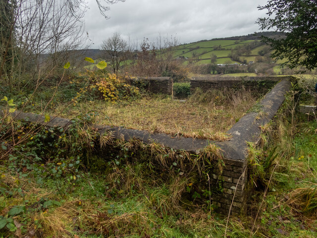
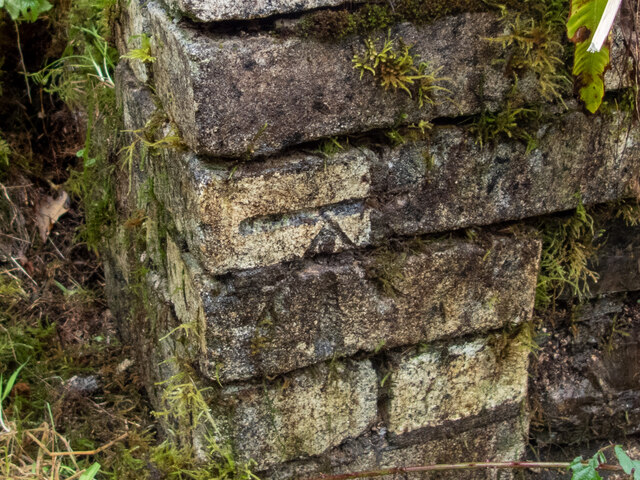
Cole's Wood is not only home to a diverse range of flora and fauna but also holds historical significance. Remnants of ancient settlements, such as stone circles and burial mounds, are scattered throughout the woodland, providing a glimpse into the region's rich heritage.

With its natural beauty, peaceful ambiance, and historical importance, Cole's Wood offers a truly immersive experience for nature lovers and history enthusiasts alike. Whether seeking a leisurely stroll, a spot for birdwatching, or a place for quiet contemplation, this woodland is a hidden gem waiting to be explored.

If you have any feedback on the listing, please let us know in the comments section below.
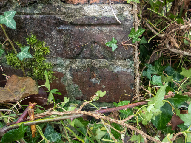
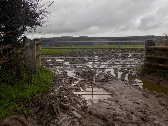
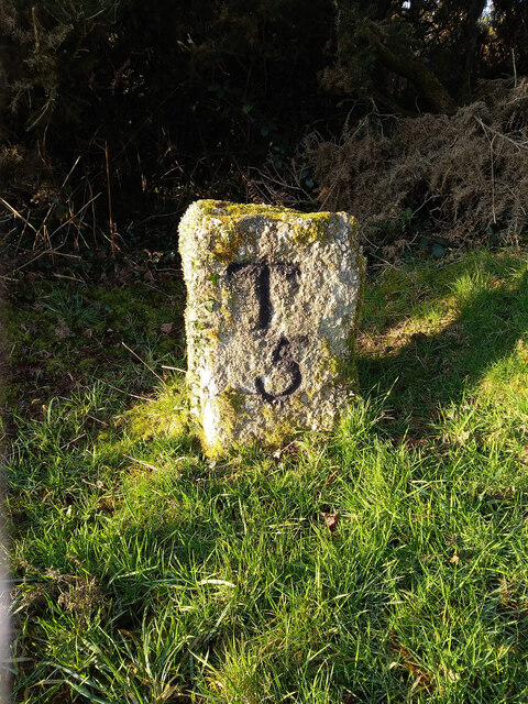
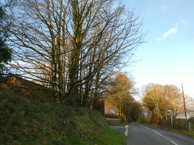
Cole's Wood Images

Images are sourced within 2km of 50.628464/-4.1546872 or Grid Reference SX4783. Thanks to Geograph Open Source API. All images are credited.

View over a gate - with benchmark There is a fine view over fields to higher ground beyond, south of the square. There is a benchmark on the right-hand stone gatepost. Awkwardly, it's on the hinge side of the post <a href="https://www.geograph.org.uk/photo/7045781">SX4683 : Benchmark on a gatepost</a>.
View over a gate - with benchmark
There is a fine view over fields to higher ground beyond, south of the square. There is a benchmark on the right-hand stone gatepost. Awkwardly, it's on the hinge side of the post SX4683 : Benchmark on a gatepost.
Benchmark on a gatepost Not the easiest to get at, being on the hinge side of the gatepost <a href="https://www.geograph.org.uk/photo/7045779">SX4683 : View over a gate - with benchmark</a>, and a bit encrusted - but at least it is there, which is more than can be said for many of the benchmarks hereabout. <span class="nowrap"><a title="https://www.bench-marks.org.uk/bm160290" rel="nofollow ugc noopener" href="https://www.bench-marks.org.uk/bm160290">Link</a><img style="margin-left:2px;" alt="External link" title="External link - shift click to open in new window" src="https://s1.geograph.org.uk/img/external.png" width="10" height="10"/></span>
Benchmark on a gatepost
Not the easiest to get at, being on the hinge side of the gatepost SX4683 : View over a gate - with benchmark, and a bit encrusted - but at least it is there, which is more than can be said for many of the benchmarks hereabout. LinkExternal link
Methodist chapel East Liddaton Just south of the old East Liddaton railway bridge, a short path leads off the road to a graveyard with the remains of a Methodist chapel. There is a benchmark on the near corner <a href="https://www.geograph.org.uk/photo/7045955">SX4682 : Benchmark on a chapel</a>.
Methodist chapel East Liddaton
Just south of the old East Liddaton railway bridge, a short path leads off the road to a graveyard with the remains of a Methodist chapel. There is a benchmark on the near corner SX4682 : Benchmark on a chapel.
Benchmark on a chapel A good deal of scraping and removal of moss from the wall of the chapel <a href="https://www.geograph.org.uk/photo/7045951">SX4682 : Methodist chapel East Liddaton</a> revealed a cut benchmark in excellent condition. <span class="nowrap"><a title="https://www.bench-marks.org.uk/bm160320" rel="nofollow ugc noopener" href="https://www.bench-marks.org.uk/bm160320">Link</a><img style="margin-left:2px;" alt="External link" title="External link - shift click to open in new window" src="https://s1.geograph.org.uk/img/external.png" width="10" height="10"/></span>
Benchmark on a chapel
A good deal of scraping and removal of moss from the wall of the chapel SX4682 : Methodist chapel East Liddaton revealed a cut benchmark in excellent condition. LinkExternal link
The old railway bridge at Liddaton Halt Liddaton Halt station is long gone, but the road bridge remains. After much gardening we found the cut benchmark <a href="https://www.geograph.org.uk/photo/7045979">SX4682 : Benchmark on a bridge</a> on the right hand (W) parapet.
The old railway bridge at Liddaton Halt
Liddaton Halt station is long gone, but the road bridge remains. After much gardening we found the cut benchmark SX4682 : Benchmark on a bridge on the right hand (W) parapet.
Benchmark on a bridge After much gardening, the benchmark on the railway bridge <a href="https://www.geograph.org.uk/photo/7045972">SX4682 : The old railway bridge at Liddaton Halt</a> was revealed.
Benchmark on a bridge
After much gardening, the benchmark on the railway bridge SX4682 : The old railway bridge at Liddaton Halt was revealed.
A very muddy field entrance The view here is through the gate into the field near Waddlestone - the rising ground and trees are in <a href="https://www.geograph.org.uk/gridref/SX4785">SX4785</a>. There is a clear, cut benchmark about one third of the way up what used to be the gatepost (which is slate). As is common around here, the stone post has been replaced by timber. Many of the stone posts, carrying benchmarks, have disappeared. Fortunately, we did not have to go through the gate. <span class="nowrap"><a title="https://www.bench-marks.org.uk/bm160325" rel="nofollow ugc noopener" href="https://www.bench-marks.org.uk/bm160325">Link</a><img style="margin-left:2px;" alt="External link" title="External link - shift click to open in new window" src="https://s1.geograph.org.uk/img/external.png" width="10" height="10"/></span>
A very muddy field entrance
The view here is through the gate into the field near Waddlestone - the rising ground and trees are in SX4785. There is a clear, cut benchmark about one third of the way up what used to be the gatepost (which is slate). As is common around here, the stone post has been replaced by timber. Many of the stone posts, carrying benchmarks, have disappeared. Fortunately, we did not have to go through the gate. LinkExternal link
Old Milestone, Bowden Down In the parish of Brentnor, Devon, 5.5 miles North of Tavistock. This has been consistently listed on old maps as "stone". It is not clear when the engraving was cut, but had it existed during WWII it would have had to be removed, buried or disfigured.

Inscription: T / 5

Milestone Society National ID: TBC
Old Milestone, Bowden Down
In the parish of Brentnor, Devon, 5.5 miles North of Tavistock. This has been consistently listed on old maps as "stone". It is not clear when the engraving was cut, but had it existed during WWII it would have had to be removed, buried or disfigured. Inscription: T / 5 Milestone Society National ID: TBC
Signpost at junction for Liddaton in winter sunlight
Winter sunlight on road north of North Brentor
Turning for Burn Lane, leading to North Brentor
Road approaching Langstone Manor The two poles on the verge carry no sign; the poles appear in Google Earth in 2021, but there was no signage in 2014.
Road approaching Langstone Manor
The two poles on the verge carry no sign; the poles appear in Google Earth in 2021, but there was no signage in 2014.
Gateway for Langstone Manor and footpath sign
Evening clouds over Dartmoor, seen from near North Brentor
Tree silhouetted against Dartmoor, near North Brentor
Sunset on western Dartmoor
Towards Coryton Mill View from the south
Towards Coryton Mill
View from the south
Broadpark: formation of old railway Formation of old Great Western branch line to Launceston
Broadpark: formation of old railway
Formation of old Great Western branch line to Launceston
Show me another place!

Cole's Wood is located at Grid Ref: SX4783 (Lat: 50.628464, Lng: -4.1546872)

Administrative County: Devon

District: West Devon

Police Authority: Devon and Cornwall

What 3 Words

///gladiators.interval.fruits. Near Tavistock, Devon

Related Wikis

Liddaton Halt railway station

Liddaton Halt was a railway station opened in 1938 by the Great Western Railway to serve the hamlet of Liddaton that lies between Coryton and Lydford in...

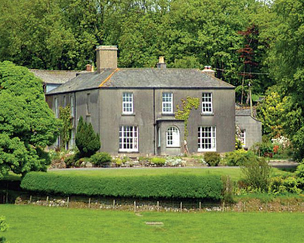
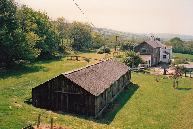
Burnville House, Brentor

Burnville House (or Farm) in Brentor, West Devon, England, is a building of historical significance and is Grade II listed on the English Heritage Register...

Brentor

Brentor is a village in West Devon, England. Its population in 2001 was 423. The village is dominated by the hill of Brent Tor, topped by the village's...

Coryton, Devon

Coryton is a hamlet and civil parish in the West Devon district of Devon, England, to the north west of Tavistock. Coryton is in the valley of the River...

Brentor railway station

Brentor railway station used to serve the village of Brentor in Devon, England. It was on the Plymouth, Devonport and South Western Junction Railway's...

Lydford railway station

Lydford railway station was a junction at Lydford between the Great Western Railway (GWR) and London and South Western Railway (LSWR) situated in a remote...
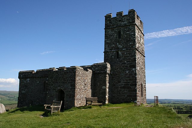
Brent Tor

Brent Tor is a tor on the western edge of Dartmoor, approximately four miles (6.5 km) north of Tavistock, rising to 1100 ft (330m) above sea level. The...

Lydford Castle

Lydford Castle is a medieval castle in the town of Lydford, Devon, England. The first castle in Lydford, sometimes termed the Norman fort, was a small...

Nearby Amenities

Located within 500m of 50.628464,-4.1546872
Generator Method: photovoltaic
Generator Output Electricity: yes
Generator Source: solar
Generator Type: solar_photovoltaic_panel
Location: roof
Power: generator
Lat/Long: 50.6306756/-4.1555116
The data included in this document is from www.openstreetmap.org. The data is made available under ODbL.

Have you been to Cole's Wood?

Leave your review of Cole's Wood below (or comments, questions and feedback).