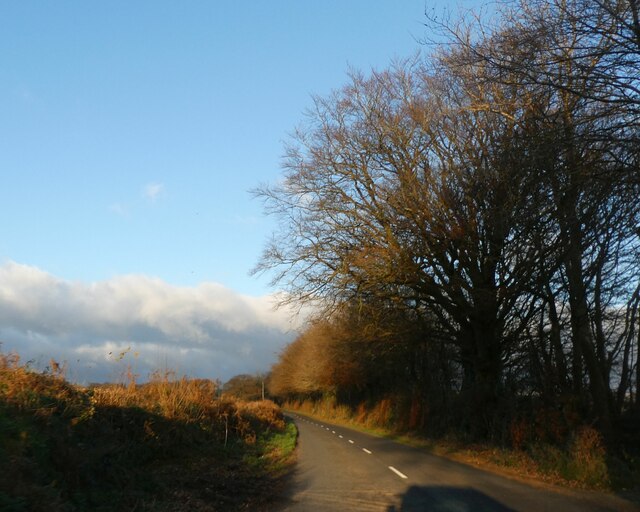
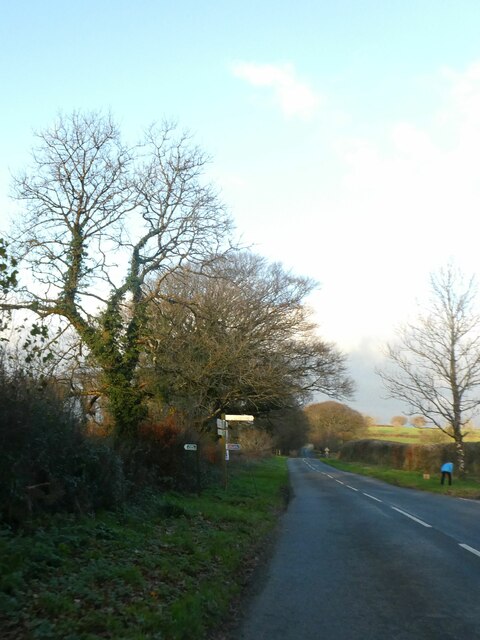
Langstone Wood

Wood, Forest in Devon West Devon

England

Langstone Wood

Not so Old Boundary Marker on Brentor Road, North Brentor Millennium stone on the southeast side of junction on Brentor Road towards North Brentor. On the boundary of Brentor and Mary Tavy parishes. 

Milestone Society National ID: DV_BTMMcm
Not so Old Boundary Marker on Brentor Road, North Brentor Credit: T Jenkinson

Langstone Wood is a picturesque woodland located in Devon, England. Covering an area of approximately 40 hectares, it is a thriving natural habitat for a diverse range of flora and fauna. The wood is primarily composed of broad-leaved trees such as oak, beech, and ash, creating a lush and green environment throughout the year.

The wood is known for its enchanting beauty, with its dense canopy providing a cool and tranquil atmosphere for visitors. Walking through Langstone Wood, one can find a variety of native wildflowers, including bluebells, wood anemones, and primroses, which add bursts of color to the woodland floor during springtime.

The numerous species of birds that inhabit the wood make it a haven for birdwatchers. Visitors may spot woodpeckers, nuthatches, and great tits among the branches, while tawny owls can often be heard hooting in the evenings. Squirrels and badgers are also frequently seen scurrying through the undergrowth, adding to the charm and wildlife diversity of the wood.

The wood is easily accessible, with well-maintained footpaths winding through its heart, allowing visitors to explore the natural wonders at their own pace. A visit to Langstone Wood offers a chance to immerse oneself in nature, with the soothing sounds of rustling leaves and birdsong creating a peaceful and relaxing environment.

Managed by a local conservation group, Langstone Wood is a valuable natural resource that provides not only a sanctuary for wildlife but also an opportunity for people to connect with the natural world and enjoy the beauty of Devon's countryside.

If you have any feedback on the listing, please let us know in the comments section below.

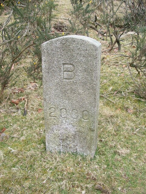
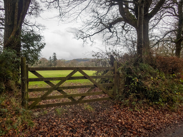
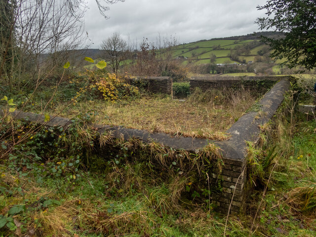
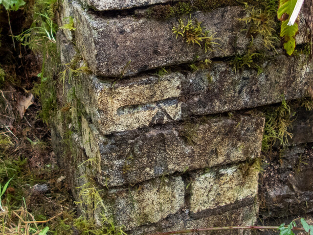
Langstone Wood Images

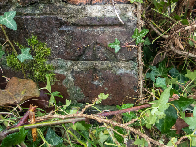
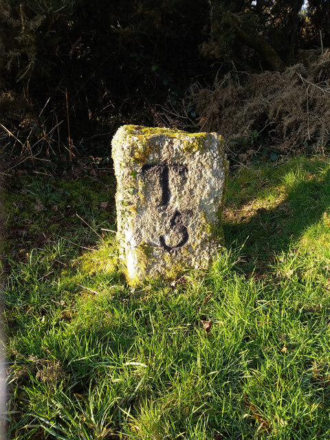
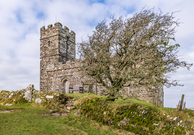
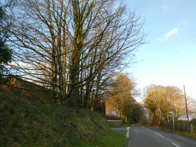
Images are sourced within 2km of 50.620315/-4.1557143 or Grid Reference SX4782. Thanks to Geograph Open Source API. All images are credited.

Not so Old Boundary Marker on Brentor Road, North Brentor Millennium stone on the southeast side of junction on Brentor Road towards North Brentor. On the boundary of Brentor and Mary Tavy parishes. 

Milestone Society National ID: DV_BTMMcm
Not so Old Boundary Marker on Brentor Road, North Brentor
Millennium stone on the southeast side of junction on Brentor Road towards North Brentor. On the boundary of Brentor and Mary Tavy parishes. Milestone Society National ID: DV_BTMMcm
View over a gate - with benchmark There is a fine view over fields to higher ground beyond, south of the square. There is a benchmark on the right-hand stone gatepost. Awkwardly, it's on the hinge side of the post <a href="https://www.geograph.org.uk/photo/7045781">SX4683 : Benchmark on a gatepost</a>.
View over a gate - with benchmark
There is a fine view over fields to higher ground beyond, south of the square. There is a benchmark on the right-hand stone gatepost. Awkwardly, it's on the hinge side of the post SX4683 : Benchmark on a gatepost.
Methodist chapel East Liddaton Just south of the old East Liddaton railway bridge, a short path leads off the road to a graveyard with the remains of a Methodist chapel. There is a benchmark on the near corner <a href="https://www.geograph.org.uk/photo/7045955">SX4682 : Benchmark on a chapel</a>.
Methodist chapel East Liddaton
Just south of the old East Liddaton railway bridge, a short path leads off the road to a graveyard with the remains of a Methodist chapel. There is a benchmark on the near corner SX4682 : Benchmark on a chapel.
Benchmark on a chapel A good deal of scraping and removal of moss from the wall of the chapel <a href="https://www.geograph.org.uk/photo/7045951">SX4682 : Methodist chapel East Liddaton</a> revealed a cut benchmark in excellent condition. <span class="nowrap"><a title="https://www.bench-marks.org.uk/bm160320" rel="nofollow ugc noopener" href="https://www.bench-marks.org.uk/bm160320">Link</a><img style="margin-left:2px;" alt="External link" title="External link - shift click to open in new window" src="https://s1.geograph.org.uk/img/external.png" width="10" height="10"/></span>
Benchmark on a chapel
A good deal of scraping and removal of moss from the wall of the chapel SX4682 : Methodist chapel East Liddaton revealed a cut benchmark in excellent condition. LinkExternal link
The old railway bridge at Liddaton Halt Liddaton Halt station is long gone, but the road bridge remains. After much gardening we found the cut benchmark <a href="https://www.geograph.org.uk/photo/7045979">SX4682 : Benchmark on a bridge</a> on the right hand (W) parapet.
The old railway bridge at Liddaton Halt
Liddaton Halt station is long gone, but the road bridge remains. After much gardening we found the cut benchmark SX4682 : Benchmark on a bridge on the right hand (W) parapet.
Benchmark on a bridge After much gardening, the benchmark on the railway bridge <a href="https://www.geograph.org.uk/photo/7045972">SX4682 : The old railway bridge at Liddaton Halt</a> was revealed.
Benchmark on a bridge
After much gardening, the benchmark on the railway bridge SX4682 : The old railway bridge at Liddaton Halt was revealed.
Old Milestone, Bowden Down In the parish of Brentnor, Devon, 5.5 miles North of Tavistock. This has been consistently listed on old maps as "stone". It is not clear when the engraving was cut, but had it existed during WWII it would have had to be removed, buried or disfigured.

Inscription: T / 5

Milestone Society National ID: TBC
Old Milestone, Bowden Down
In the parish of Brentnor, Devon, 5.5 miles North of Tavistock. This has been consistently listed on old maps as "stone". It is not clear when the engraving was cut, but had it existed during WWII it would have had to be removed, buried or disfigured. Inscription: T / 5 Milestone Society National ID: TBC
Church of St Michael de Rupe, Brent Tor Largely 13th Century church with 14th/15th Century alterations (including the tower), replacing an earlier church of c.1130.  Its site on the summit of Brent Tor, itself a prominent hill, means that it is visible from miles around.  Grade I listed - see <span class="nowrap"><a title="https://historicengland.org.uk/listing/the-list/list-entry/1104836?section=official-listing" rel="nofollow ugc noopener" href="https://historicengland.org.uk/listing/the-list/list-entry/1104836?section=official-listing">Link</a><img style="margin-left:2px;" alt="External link" title="External link - shift click to open in new window" src="https://s1.geograph.org.uk/img/external.png" width="10" height="10"/></span>.  It claims to be the highest working church in England, although a number of other churches seem to make similar claims.
Church of St Michael de Rupe, Brent Tor
Largely 13th Century church with 14th/15th Century alterations (including the tower), replacing an earlier church of c.1130. Its site on the summit of Brent Tor, itself a prominent hill, means that it is visible from miles around. Grade I listed - see LinkExternal link. It claims to be the highest working church in England, although a number of other churches seem to make similar claims.
Brent Tor Looking up towards Brent Tor with the tower of the church of St Michael de Rupe on the summit.
Brent Tor
Looking up towards Brent Tor with the tower of the church of St Michael de Rupe on the summit.
Towards Brent Tor Looking up towards Brent Tor with the tower of the church of St Michael de Rupe on the summit.
Towards Brent Tor
Looking up towards Brent Tor with the tower of the church of St Michael de Rupe on the summit.
Towards Brent Tor Looking up towards Brent Tor with the tower of the church of St Michael de Rupe on the summit.
Towards Brent Tor
Looking up towards Brent Tor with the tower of the church of St Michael de Rupe on the summit.
Towards Brent Tor
Towards Brent Tor
Signpost at junction for Liddaton in winter sunlight
Winter sunlight on road north of North Brentor
Turning for Burn Lane, leading to North Brentor
Show me another place!

Langstone Wood is located at Grid Ref: SX4782 (Lat: 50.620315, Lng: -4.1557143)

Administrative County: Devon

District: West Devon

Police Authority: Devon and Cornwall

What 3 Words

///scrambles.reply.shirts. Near Tavistock, Devon

Related Wikis

Brentor

Brentor is a village in West Devon, England. Its population in 2001 was 423. The village is dominated by the hill of Brent Tor, topped by the village's...

Liddaton Halt railway station

Liddaton Halt was a railway station opened in 1938 by the Great Western Railway to serve the hamlet of Liddaton that lies between Coryton and Lydford in...

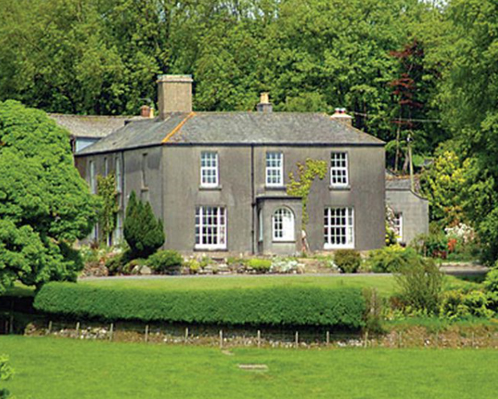
Burnville House, Brentor

Burnville House (or Farm) in Brentor, West Devon, England, is a building of historical significance and is Grade II listed on the English Heritage Register...

Brentor railway station

Brentor railway station used to serve the village of Brentor in Devon, England. It was on the Plymouth, Devonport and South Western Junction Railway's...
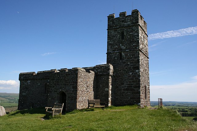
Brent Tor

Brent Tor is a tor on the western edge of Dartmoor, approximately four miles (6.5 km) north of Tavistock, rising to 1100 ft (330m) above sea level. The...

Coryton, Devon

Coryton is a hamlet and civil parish in the West Devon district of Devon, England, to the north west of Tavistock. Coryton is in the valley of the River...

Lydford railway station

Lydford railway station was a junction at Lydford between the Great Western Railway (GWR) and London and South Western Railway (LSWR) situated in a remote...

Lydford Castle

Lydford Castle is a medieval castle in the town of Lydford, Devon, England. The first castle in Lydford, sometimes termed the Norman fort, was a small...

Have you been to Langstone Wood?

Leave your review of Langstone Wood below (or comments, questions and feedback).