Balstone Wood

Wood, Forest in Devon West Devon

England

Balstone Wood

Old Bridge Marker in Buckland Monachorum cemetery County Bridge Marker moved from the roadside to beside a path inside the cemetery gates. Buckland Monachorum parish. The stone marks the extent of roadway adjoining the bridge that the County was obliged to maintain.

Milestone Society National ID: DV_BMCPbr
Old Bridge Marker in Buckland Monachorum cemetery Credit: T Jenkinson

Balstone Wood is a picturesque woodland located in the county of Devon, England. Covering an area of approximately 100 acres, it is situated near the village of Balstone, within the scenic Dartmoor National Park.

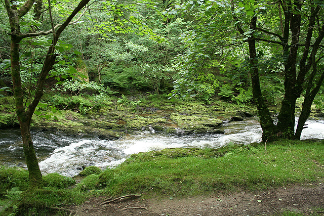
The woodland is characterized by its diverse range of tree species, including oak, beech, and birch. This creates a rich tapestry of colors throughout the seasons, with vibrant greens in the summer and fiery reds and oranges in the autumn. The dense canopy provides a haven for a variety of wildlife, such as deer, squirrels, and numerous bird species.

Tranquil walking trails meander through the wood, offering visitors the opportunity to immerse themselves in the natural beauty of the area. The paths wind through ancient trees, under arching branches, and alongside babbling brooks, creating a serene and peaceful atmosphere.

Balstone Wood is not only a haven for nature enthusiasts but also a popular destination for outdoor activities. It offers opportunities for hiking, birdwatching, and photography, allowing visitors to engage with the natural environment and capture its beauty.

The wood is well-maintained and managed by the local authorities to ensure its conservation and preservation. This includes regular tree surveys, maintenance of footpaths, and the implementation of sustainable practices.

Overall, Balstone Wood is a stunning woodland that offers a tranquil escape from the hustle and bustle of everyday life. Its natural beauty, diverse wildlife, and range of activities make it a must-visit destination for nature lovers and outdoor enthusiasts alike.

If you have any feedback on the listing, please let us know in the comments section below.

Balstone Wood Images

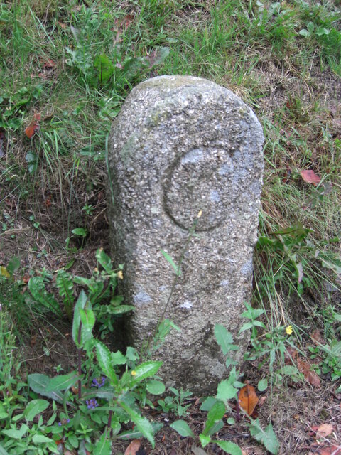
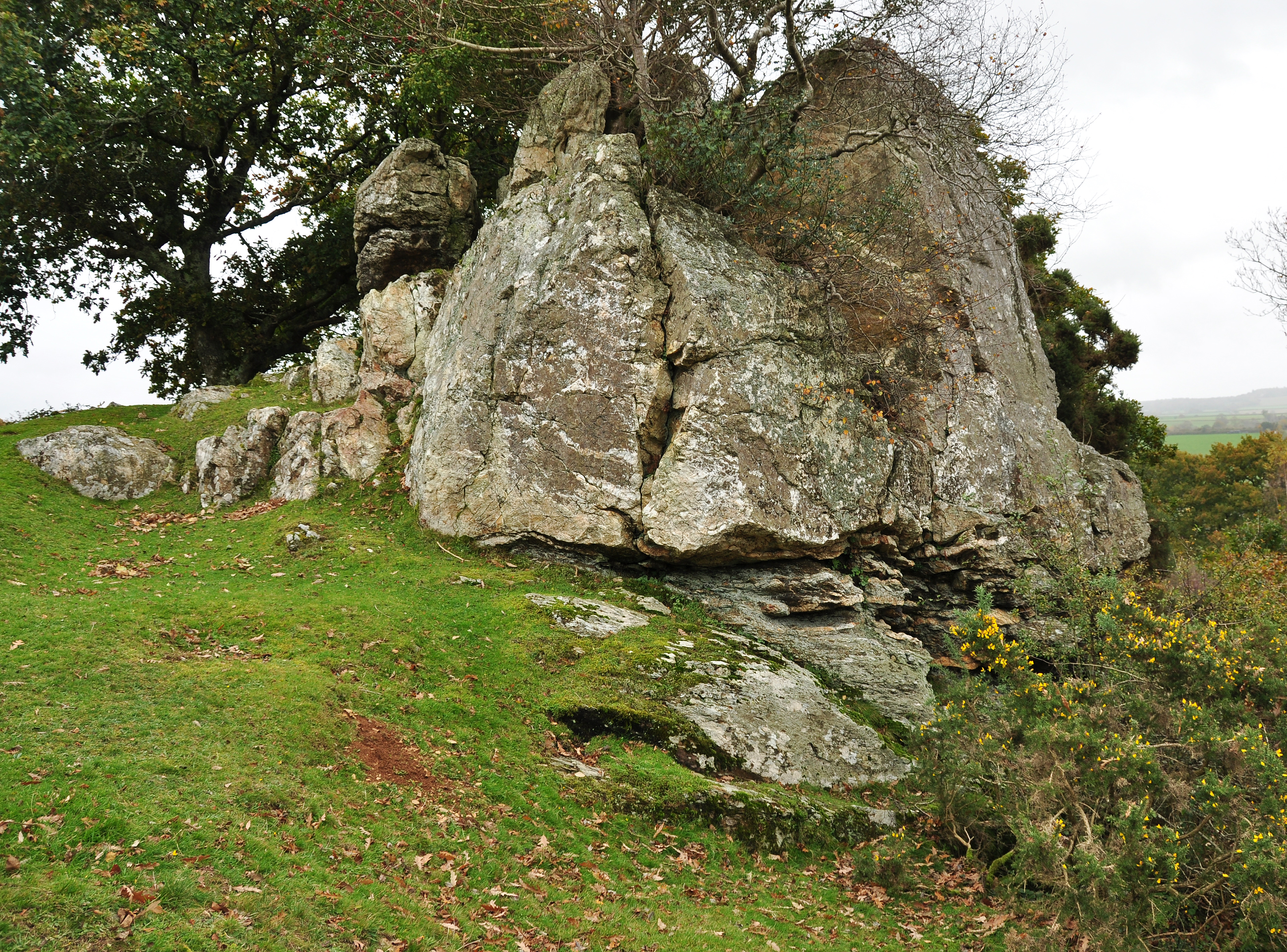
Images are sourced within 2km of 50.502646/-4.1507449 or Grid Reference SX4769. Thanks to Geograph Open Source API. All images are credited.

Old Bridge Marker in Buckland Monachorum cemetery County Bridge Marker moved from the roadside to beside a path inside the cemetery gates. Buckland Monachorum parish. The stone marks the extent of roadway adjoining the bridge that the County was obliged to maintain.

Milestone Society National ID: DV_BMCPbr
Old Bridge Marker in Buckland Monachorum cemetery
County Bridge Marker moved from the roadside to beside a path inside the cemetery gates. Buckland Monachorum parish. The stone marks the extent of roadway adjoining the bridge that the County was obliged to maintain. Milestone Society National ID: DV_BMCPbr
Benchmark on a Milestone, B3257 at Orestocks On the West face of the milestone.
The context view shows <a href="https://www.geograph.org.uk/photo/6102223">SX4669 : Old Guide Stone by the B3257 at Orestocks</a>.
Benchmark on a Milestone, B3257 at Orestocks
On the West face of the milestone. The context view shows SX4669 : Old Guide Stone by the B3257 at Orestocks.
Old Guide Stone by the B3257 at Orestocks Granite guidestone post by the B3257, in parish of Gulworthy (West Devon District), Orestocks where road branches to Broadwell, on grass verge, close to tall beech hedge.

Inscription reads:-
: MILTON / ABBOT / 8 / MILES : : BEER / FERRIS / 2½ / MILES : : TO / TAVI / STOCK / 3½ / MILES :
Carved benchmark on face.

Grade II listed.
List Entry Number: 1305164 <span class="nowrap"><a title="https://historicengland.org.uk/listing/the-list/list-entry/1305164" rel="nofollow ugc noopener" href="https://historicengland.org.uk/listing/the-list/list-entry/1305164">Link</a><img style="margin-left:2px;" alt="External link" title="External link - shift click to open in new window" src="https://s1.geograph.org.uk/img/external.png" width="10" height="10"/></span>

Surveyed

Milestone Society National ID: DV_XGUL05
Old Guide Stone by the B3257 at Orestocks
Granite guidestone post by the B3257, in parish of Gulworthy (West Devon District), Orestocks where road branches to Broadwell, on grass verge, close to tall beech hedge. Inscription reads:- : MILTON / ABBOT / 8 / MILES : : BEER / FERRIS / 2½ / MILES : : TO / TAVI / STOCK / 3½ / MILES : Carved benchmark on face. Grade II listed. List Entry Number: 1305164 LinkExternal link Surveyed Milestone Society National ID: DV_XGUL05
Whitchurch: leat in Walkham valley The dry channel of an old mining leat which may date from the 18th century, as a 19th century elvan quarry straddles its course upstream
Whitchurch: leat in Walkham valley
The dry channel of an old mining leat which may date from the 18th century, as a 19th century elvan quarry straddles its course upstream
The Tavy Valley This photograph was taken from the south west corner of this grid square and looks out north-eastward over the Tavy Valley.  The hills of Dartmoor can be seen in the distance.
The Tavy Valley
This photograph was taken from the south west corner of this grid square and looks out north-eastward over the Tavy Valley. The hills of Dartmoor can be seen in the distance.
Disused buildings, Westdown copper Mine 
These mine buildings are sited 500m downstream from Grenofen bridge car park,  on level ground 75m from the river Walkham north bank. Photograph taken in July 1978.
Disused buildings, Westdown copper Mine
These mine buildings are sited 500m downstream from Grenofen bridge car park, on level ground 75m from the river Walkham north bank. Photograph taken in July 1978.
Disused railway  tunnel entrance Trackbed and tunnel south entrance near Hartshole Farm, Morwelldown, taken 1977
Disused railway tunnel entrance
Trackbed and tunnel south entrance near Hartshole Farm, Morwelldown, taken 1977
Wooded ridge between Rivers Tavy and Walkham Moss-covered boulders beside the West Devon Way just before it drops down to Double Waters, where the Walkham (below left) joins the Tavy (below right). Looking south-west.
Wooded ridge between Rivers Tavy and Walkham
Moss-covered boulders beside the West Devon Way just before it drops down to Double Waters, where the Walkham (below left) joins the Tavy (below right). Looking south-west.
A Forgotten Lane Marked on the map simply as "other route with public access" this lane, with a solid wall at its side, has been largely abandoned to the overgrowing trees and bushes.
A Forgotten Lane
Marked on the map simply as "other route with public access" this lane, with a solid wall at its side, has been largely abandoned to the overgrowing trees and bushes.
The River Tavy at Wash Ford This place is called Wash Ford on the map, presumably because it used to be a fording place.  This seems likely as it is on a riffle, there is no deep water here.
The River Tavy at Wash Ford
This place is called Wash Ford on the map, presumably because it used to be a fording place. This seems likely as it is on a riffle, there is no deep water here.
Whitchurch: Walkham Valley The Walkam below West Down, looking south east on the public footpath between Grenofen Bridge and Double Waters
Whitchurch: Walkham Valley
The Walkam below West Down, looking south east on the public footpath between Grenofen Bridge and Double Waters
Whitchurch: below West Down The Walkham seen from the public footpath between Grenofen Bridge and Double Waters, looking east-north-east
Whitchurch: below West Down
The Walkham seen from the public footpath between Grenofen Bridge and Double Waters, looking east-north-east
Whitchurch: the Walkham valley Looking south near the old Elvan quarry, with the river Walkham running well after June rains
Whitchurch: the Walkham valley
Looking south near the old Elvan quarry, with the river Walkham running well after June rains
Disused Mine Chimney near Genofen A view of the disused mine chimney on the Bridleway by the River Walkham.
Disused Mine Chimney near Genofen
A view of the disused mine chimney on the Bridleway by the River Walkham.
River Walkham
River Walkham
Bridleway Junction Just north of Double Waters, the path ahead will take you up the hill towards Tavistock and the path off to the right, along the side of the River Walkham to Grenofen Bridge.
Bridleway Junction
Just north of Double Waters, the path ahead will take you up the hill towards Tavistock and the path off to the right, along the side of the River Walkham to Grenofen Bridge.
A Rock on the Hillside Looking out from the bridleway to Double Waters over the steeply wooded valley of the River Tavy.
A Rock on the Hillside
Looking out from the bridleway to Double Waters over the steeply wooded valley of the River Tavy.
Bridleway to Double Waters Looking out over the top of the steep and deep valley of the River Walkham.  The sign on the rock placed in the foreground forbids access to unauthorised vehicles.
Bridleway to Double Waters
Looking out over the top of the steep and deep valley of the River Walkham. The sign on the rock placed in the foreground forbids access to unauthorised vehicles.
Show me another place!

Balstone Wood is located at Grid Ref: SX4769 (Lat: 50.502646, Lng: -4.1507449)

Administrative County: Devon

District: West Devon

Police Authority: Devon and Cornwall

What 3 Words

///poetry.doors.marketing. Near Bere Alston, Devon

Related Wikis

Berra Tor

Berra Tor (grid reference SX553679) is a granite tor on the south western edge of Dartmoor. It is only 132 metres above sea level so is one of the lowest...

Buckland Monachorum

Buckland Monachorum is a village and civil parish in the West Devon district of Devon, England, situated on the River Tavy, about 10 miles north of Plymouth...

St Andrew's Church, Buckland Monachorum

St Andrew's Church, Buckland Monachorum is a Grade I listed parish church in the Church of England Diocese of Exeter in Buckland Monachorum, Devon. �...

New Quay (Devon)

New Quay is a small once industrial abandoned hamlet and intensive mining port on the steep, winding banks of the River Tamar in Devon. New Quay village...

Nearby Amenities

Located within 500m of 50.502646,-4.1507449
Berra Tor
Ele: 132
Fixme: Location Innaccurate
Natural: peak
Wikidata: Q30716016
Wikipedia: en:Berra Tor
Lat/Long: 50.5013258/-4.1475211
The data included in this document is from www.openstreetmap.org. The data is made available under ODbL.

Have you been to Balstone Wood?

Leave your review of Balstone Wood below (or comments, questions and feedback).