Broomdown Copse
Wood, Forest in Devon Torridge
England
Broomdown Copse
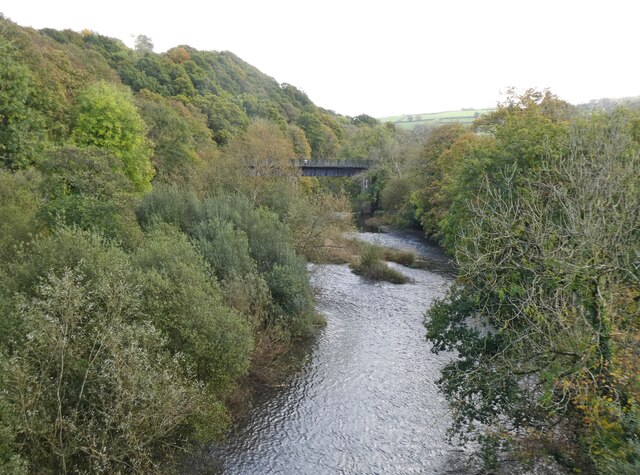
Broomdown Copse is a beautiful woodland located in Devon, a county in southwestern England. Covering an area of approximately 50 acres, this enchanting forest is nestled within the picturesque Devonshire countryside. With its diverse range of plant and animal species, Broomdown Copse offers visitors a unique and immersive experience in nature.
The woodland is predominantly made up of deciduous trees, including oak, beech, and ash, which create a dense canopy that provides shade and shelter for the flora and fauna below. The forest floor is adorned with a carpet of bluebells in the spring, creating a breathtaking display of color. Alongside the bluebells, visitors can also spot wild primroses, wood anemones, and other wildflowers, adding to the vibrant tapestry of the forest.
Broomdown Copse is home to a variety of wildlife, offering nature enthusiasts the opportunity to observe and appreciate the natural biodiversity of the area. Squirrels can be seen darting among the branches, while woodpeckers can be heard tapping away at the trunks of trees. The forest is also a haven for birdwatchers, with species such as song thrushes, blackbirds, and great tits making their homes in the leafy canopy.
For those seeking tranquility and a sense of connection with nature, Broomdown Copse is a perfect destination. The woodland provides a network of walking trails, allowing visitors to explore its hidden corners and discover its many wonders. Whether it's a leisurely stroll or an adventurous hike, Broomdown Copse offers a serene and captivating experience for all who venture within its leafy embrace.
If you have any feedback on the listing, please let us know in the comments section below.
Broomdown Copse Images
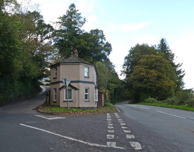
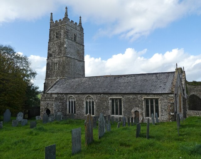
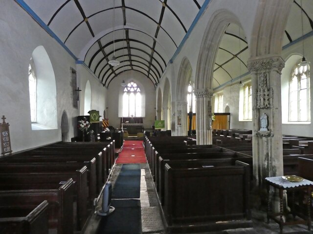
Images are sourced within 2km of 50.962309/-4.1749003 or Grid Reference SS4720. Thanks to Geograph Open Source API. All images are credited.


Broomdown Copse is located at Grid Ref: SS4720 (Lat: 50.962309, Lng: -4.1749003)
Administrative County: Devon
District: Torridge
Police Authority: Devon and Cornwall
What 3 Words
///tacky.hinders.havens. Near Great Torrington, Devon
Nearby Locations
Related Wikis
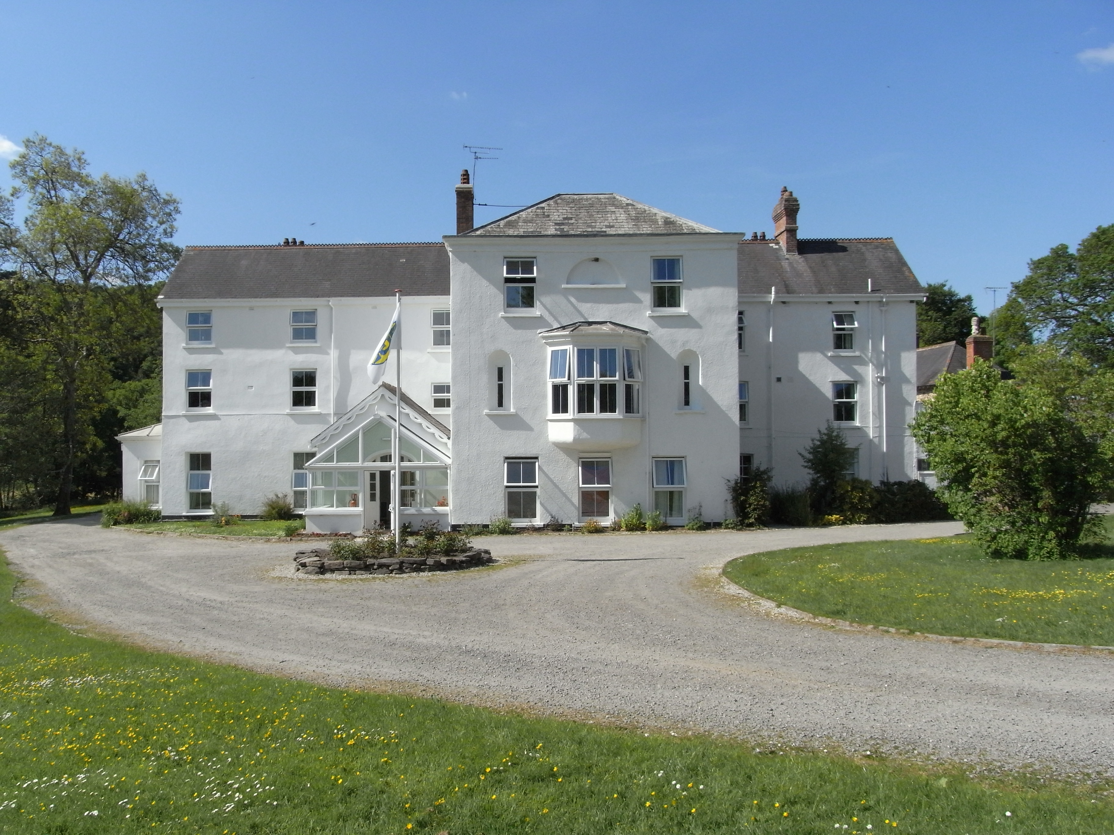
Beam, Great Torrington
Beam is an historic estate in the parish of Great Torrington, Devon, England. Beam House is situated about 1 1/2 miles north-west and downstream of that...
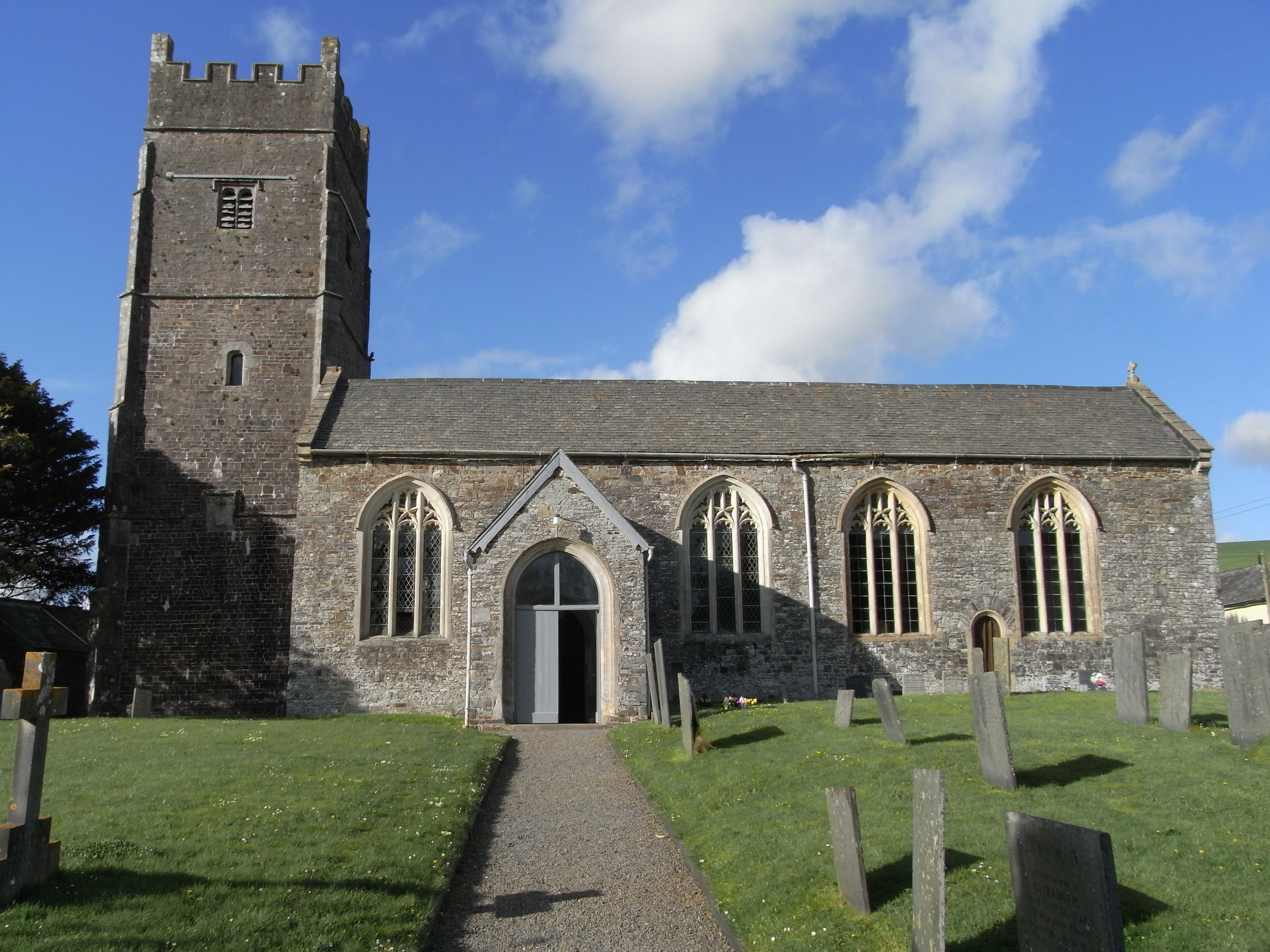
Weare Giffard
Weare Giffard is a small village, civil parish and former manor in the Torridge district, in north Devon, England. The church and manor house are situated...

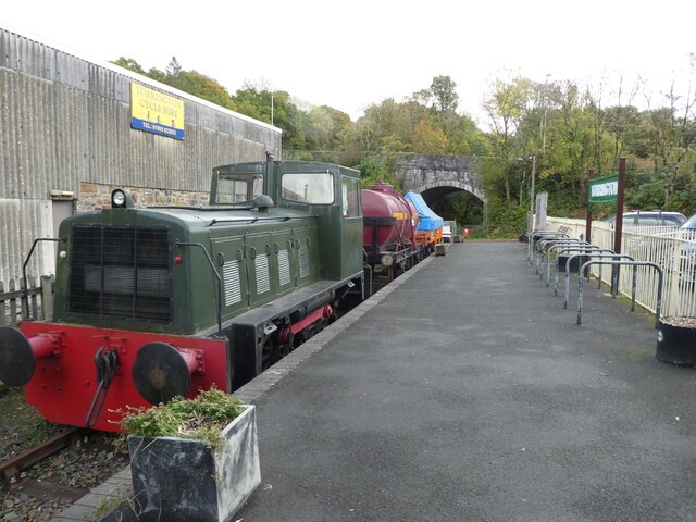
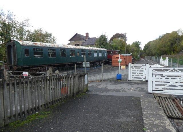
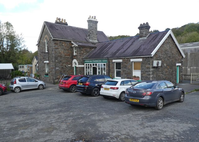
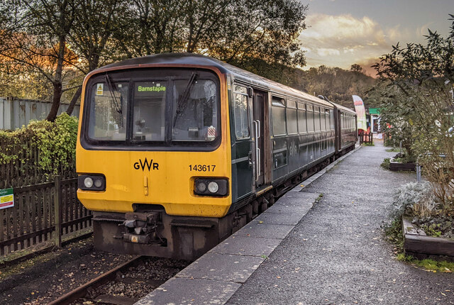
Torrington railway station
Torrington railway station was a railway station located in Great Torrington, Devon. It was closed by British Railways in 1965 as part of the Beeching...
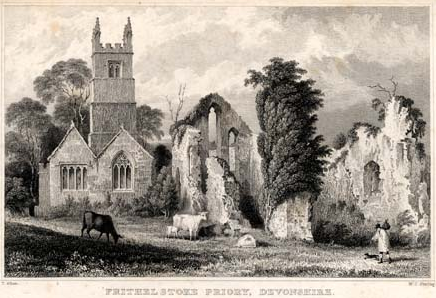
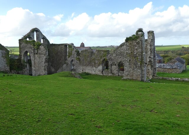
Frithelstock Priory
Frithelstock Priory was founded in about 1220 at Frithelstock, Devon, England, by Sir Robert de Beauchamp for Augustinian Canons Regular, as an indulgence...
Nearby Amenities
Located within 500m of 50.962309,-4.1749003Have you been to Broomdown Copse?
Leave your review of Broomdown Copse below (or comments, questions and feedback).