Beara Wood

Wood, Forest in Devon Torridge

England

Beara Wood

Tarka Trail using a disused railway bridge The Tarka Trail crosses the River Torridge.
Tarka Trail using a disused railway bridge Credit: David Smith

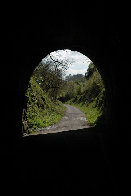
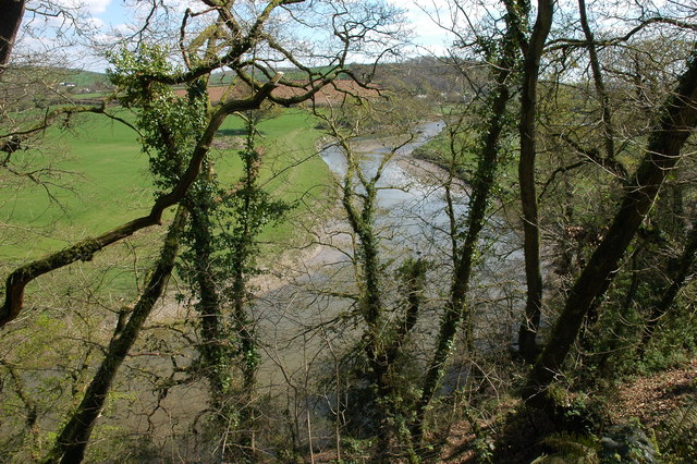
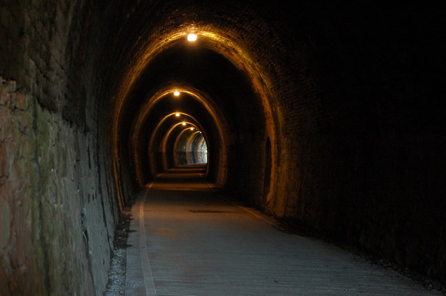
Beara Wood is a picturesque woodland located in the county of Devon, England. Situated near the village of Beara, it covers an area of approximately 100 acres and is known for its natural beauty and diverse flora and fauna. The wood is a mix of broadleaf and coniferous trees, including oak, beech, pine, and spruce, creating a rich and varied ecosystem.

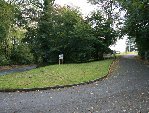
Visitors to Beara Wood are greeted with a network of well-maintained footpaths that wind through the dense foliage, allowing for easy exploration of the area. The wood is a popular destination for nature enthusiasts, hikers, and wildlife photographers, offering ample opportunities to spot a variety of animals and birds that call the forest home.

The enchanting woodland is particularly stunning during the spring when the forest floor is carpeted with vibrant bluebells, creating a breathtaking sight. The peaceful ambiance and the soothing sounds of birdsong make Beara Wood an ideal spot for those seeking tranquility and a connection with nature.

Furthermore, the wood is managed by a local conservation group, ensuring its preservation and protection. Efforts have been made to maintain the natural balance of the ecosystem and promote biodiversity within the wood.

Beara Wood is easily accessible, with ample parking facilities nearby, and is open to the public year-round. Whether you are seeking a peaceful walk, a glimpse of wildlife, or simply a moment of serenity, Beara Wood offers a delightful escape into nature's embrace.

If you have any feedback on the listing, please let us know in the comments section below.
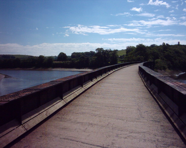
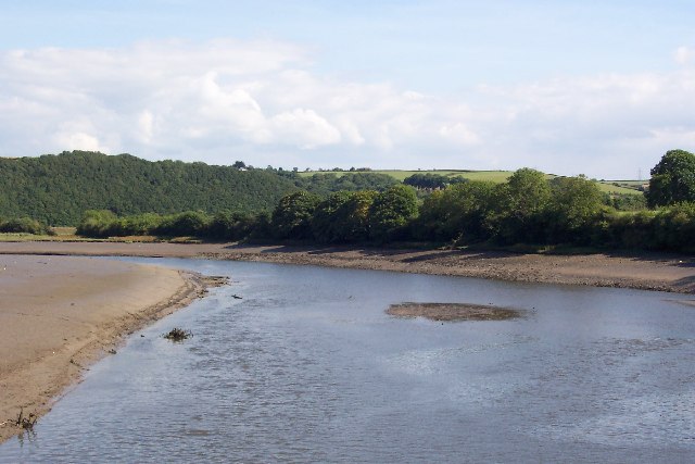
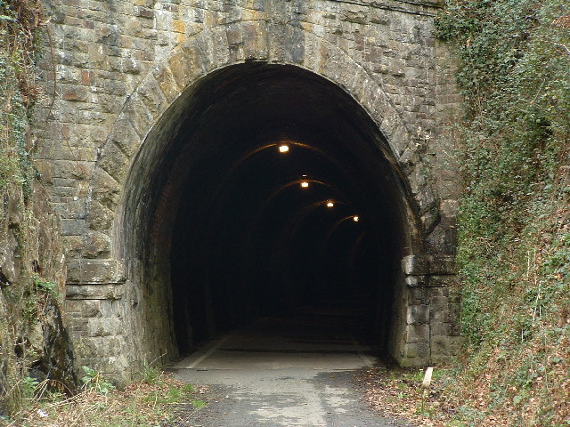
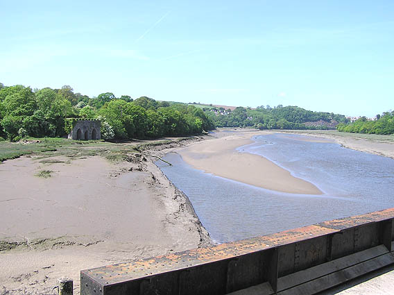
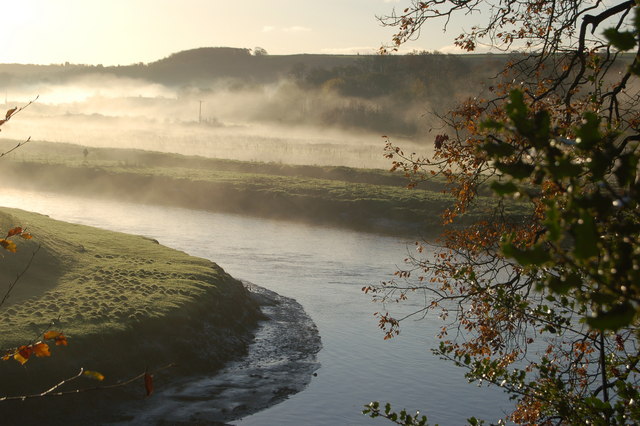
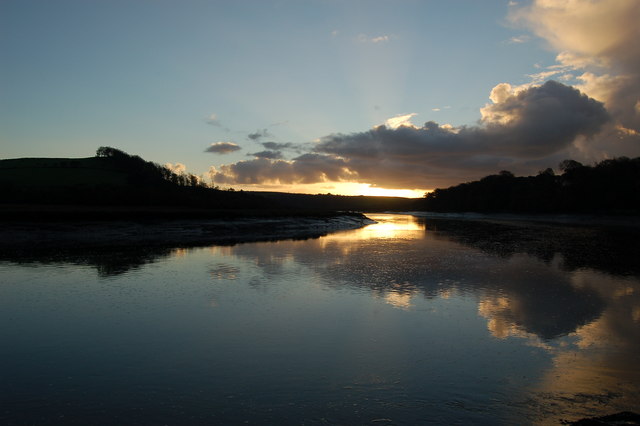
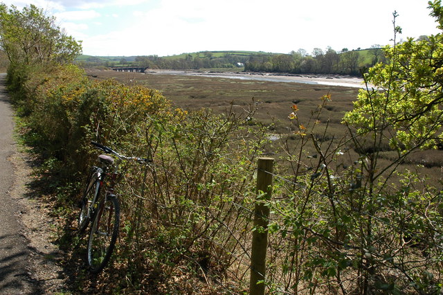
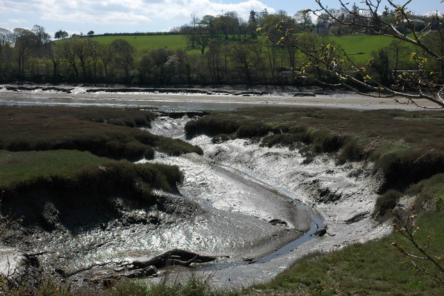
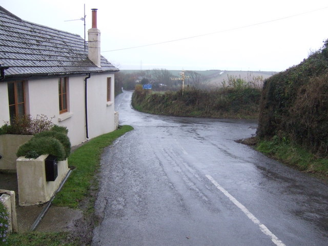
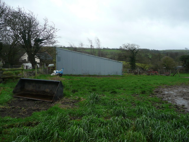
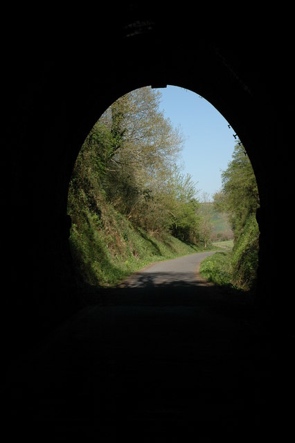
Beara Wood Images

Images are sourced within 2km of 50.99926/-4.1775405 or Grid Reference SS4724. Thanks to Geograph Open Source API. All images are credited.

Tarka Trail using a disused railway bridge The Tarka Trail crosses the River Torridge.
Tarka Trail using a disused railway bridge
The Tarka Trail crosses the River Torridge.
Landcross, near Bideford Looking upstream from the Landcross Viaduct on the Tarka Trail. It is here that The Pool of Six Herons is set in the book "Tarka The Otter" by Henry Williamson.
Landcross, near Bideford
Looking upstream from the Landcross Viaduct on the Tarka Trail. It is here that The Pool of Six Herons is set in the book "Tarka The Otter" by Henry Williamson.
Tarka Trail: Landcross tunnel
River Torridge from Landcross viaduct The old line from Barnstaple and Bideford to Halwill Junction
River Torridge from Landcross viaduct
The old line from Barnstaple and Bideford to Halwill Junction
River Torridge near Annery Kiln View of the River Torridge from just below the Tarka Trail looking west. Annery Kiln is in the distance (partially obscured in the mist). The start of the disused Rolle Canal (to Torrington) is just below where this picture was taken from (cannot be seen in this picture).
River Torridge near Annery Kiln
View of the River Torridge from just below the Tarka Trail looking west. Annery Kiln is in the distance (partially obscured in the mist). The start of the disused Rolle Canal (to Torrington) is just below where this picture was taken from (cannot be seen in this picture).
View of the Torridge from Little America View of the River Torridge at dawn from Little America (a corruption of 'Littleham Mere') looking towards the Iron Bridge (old railway bridge) on the Tarka Trail.
View of the Torridge from Little America
View of the River Torridge at dawn from Little America (a corruption of 'Littleham Mere') looking towards the Iron Bridge (old railway bridge) on the Tarka Trail.
The river Torridge viewed from the Tarka Trail Here the Tarka Trail follows the course of a disused railway line. In the Background the railway bridge over the river can be seen. In the foreground is the bicycle I hired to cycle along the trail.
The river Torridge viewed from the Tarka Trail
Here the Tarka Trail follows the course of a disused railway line. In the Background the railway bridge over the river can be seen. In the foreground is the bicycle I hired to cycle along the trail.
Low tide on the river Torridge Viewed from the Tarka Trail.
Low tide on the river Torridge
Viewed from the Tarka Trail.
The Landcross Tunnel on the Tarka Trail View out of the northern end of the Landcross Tunnel. The former railway line is the route of the Tarka Trail and is an excellent cycleway.
The Landcross Tunnel on the Tarka Trail
View out of the northern end of the Landcross Tunnel. The former railway line is the route of the Tarka Trail and is an excellent cycleway.
The Landcross Tunnel on the Tarka Trail View out of the southern end of the Landcross Tunnel on the Tarka Trail.
The Landcross Tunnel on the Tarka Trail
View out of the southern end of the Landcross Tunnel on the Tarka Trail.
The River Torridge near Landcross The River Torridge viewed from the Tarka Trail just to the south of the Landcross Tunnel.
The River Torridge near Landcross
The River Torridge viewed from the Tarka Trail just to the south of the Landcross Tunnel.
In the Landcross Tunnel The tunnel is cycled through on the Tarka Trail.
In the Landcross Tunnel
The tunnel is cycled through on the Tarka Trail.
Entrance to Hallsannery The Hallsannery Field Centre adjacent to the River Torridge
Entrance to Hallsannery
The Hallsannery Field Centre adjacent to the River Torridge
Bideford: the Torridge Looking upstream towards Hallsannery and the old railway bridge at Landcross
Bideford: the Torridge
Looking upstream towards Hallsannery and the old railway bridge at Landcross
Cross roads at Gammaton Moor A hamlet at the centre of a web of six lanes north of Great Torrington.
Cross roads at Gammaton Moor
A hamlet at the centre of a web of six lanes north of Great Torrington.
Rape field, woods and countryside beyond Typical scenery for this corner of north-west Devon. View north-east of Eastwood Lane.
Rape field, woods and countryside beyond
Typical scenery for this corner of north-west Devon. View north-east of Eastwood Lane.
Stone Farm Looking south towards Gammaton Barton.
Stone Farm
Looking south towards Gammaton Barton.
Entrance to Tyco Electronics A leading employer in Bideford; manufacturers of electronic components including fibre optics.
Entrance to Tyco Electronics
A leading employer in Bideford; manufacturers of electronic components including fibre optics.
Show me another place!

Beara Wood is located at Grid Ref: SS4724 (Lat: 50.99926, Lng: -4.1775405)

Administrative County: Devon

District: Torridge

Police Authority: Devon and Cornwall

What 3 Words

///committee.slurping.wooden. Near Bideford, Devon

Nearby Locations

Beara Wood Addlehole Wood

Related Wikis

Landcross, Devon

Landcross is a hamlet and civil parish in the local government district of Torridge, Devon, England. The parish, which is the smallest in Devon, lies just...

Annery kiln

Annery kiln is a former limekiln of the estate of Annery, in the parish of Monkleigh, North Devon. It is situated on the left bank of the River Torridge...
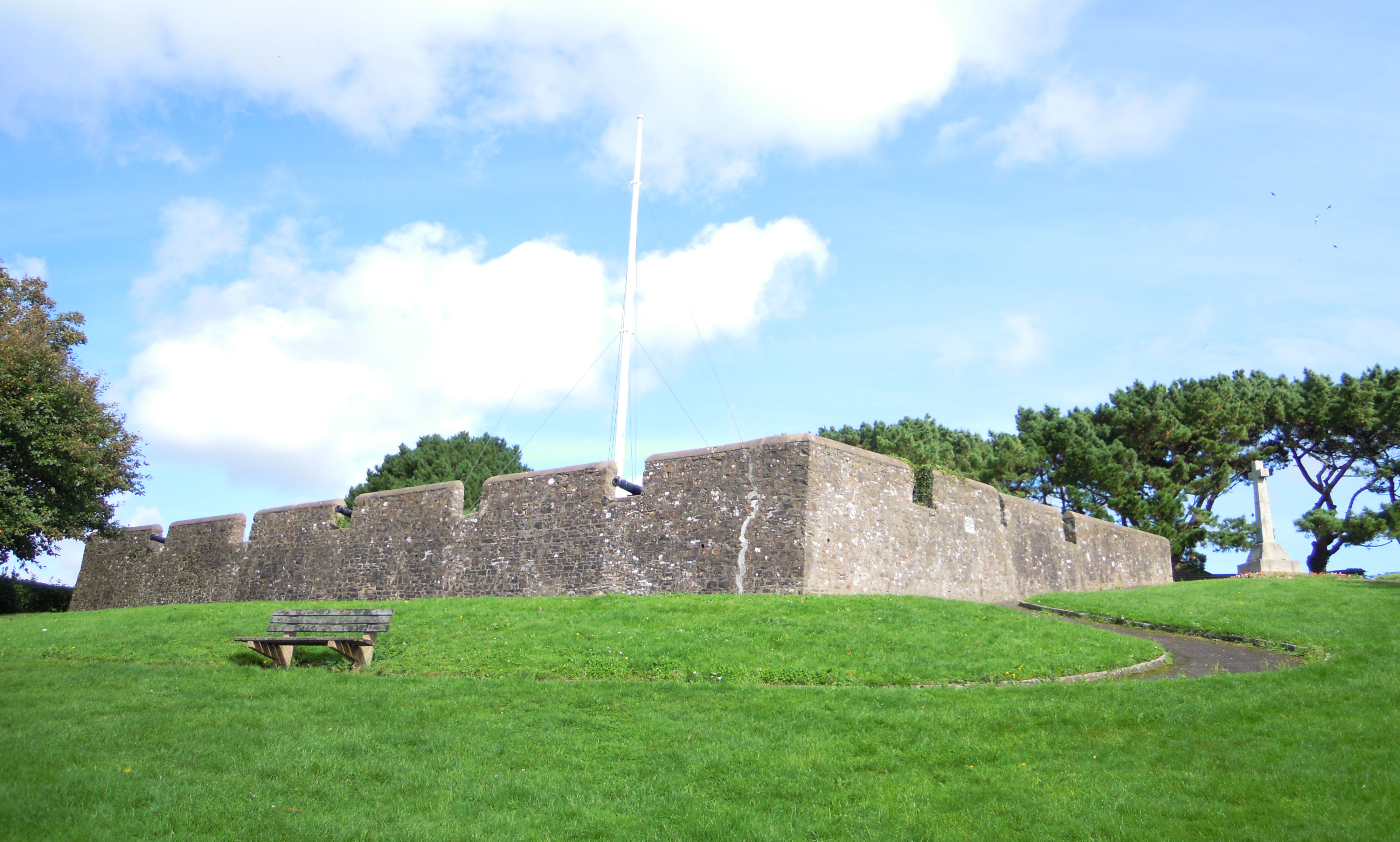
Chudleigh Fort

Chudleigh Fort is an ornamental fort in East-the-Water, a suburb of Bideford in Devon in the UK. The site was originally an actual 17th-century earthwork...

Bideford railway station

The first Bideford railway station was opened on 2 November 1855 as the terminus of the Bideford Extension Railway from Barnstaple. This was taken over...

Annery, Monkleigh

Annery was an historic estate in the parish of Monkleigh, North Devon. It was one of the original endowments of Tavistock Abbey, founded in 961. The first...

Bideford Long Bridge

Bideford Long Bridge in North Devon spans the River Torridge near its estuary and connects the old part of the town, and formerly important river port...

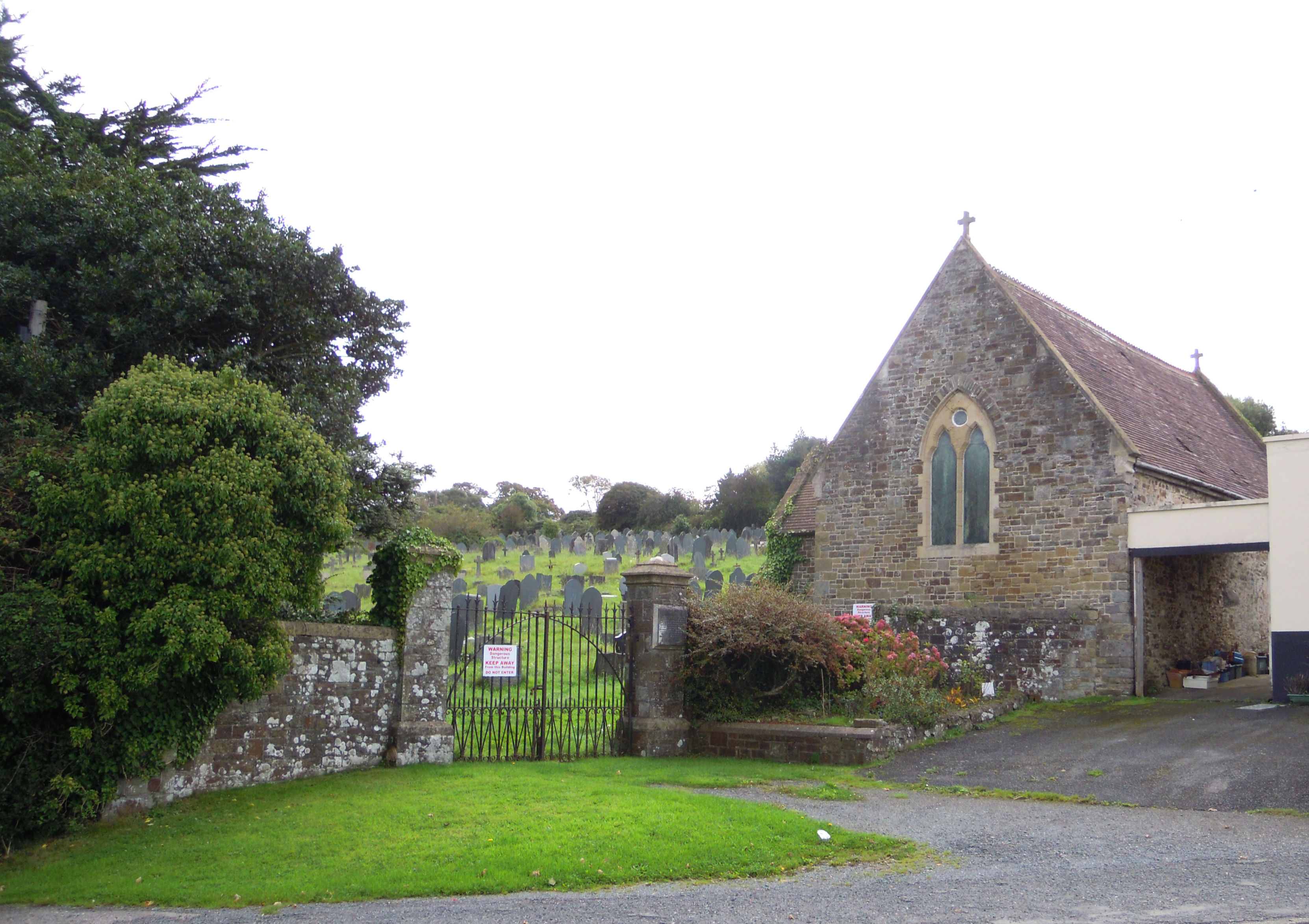
East-the-Water Cemetery, Bideford

East-the-Water Cemetery (also known as Bideford Church Cemetery) was the Church of England burial ground for East-the-Water, once a separate village but...

Bideford Town Hall

Bideford Town Hall is a municipal building at the corner of Bridge Street and New Road in Bideford, Devon, England. The building, which is the meeting...

Nearby Amenities

Located within 500m of 50.99926,-4.1775405
Direction: 175
Generator Method: photovoltaic
Generator Output Electricity: yes
Generator Solar Modules: 12
Generator Source: solar
Generator Type: solar_photovoltaic_panel
Location: roof
Power: generator
Lat/Long: 51.0014839/-4.1731142
Direction: E
Generator Method: photovoltaic
Generator Output Electricity: yes
Generator Solar Modules: 6
Generator Source: solar
Generator Type: solar_photovoltaic_panel
Location: roof
Power: generator
Lat/Long: 51.0016474/-4.1735142
Direction: W
Generator Method: photovoltaic
Generator Output Electricity: yes
Generator Solar Modules: 6
Generator Source: solar
Generator Type: solar_photovoltaic_panel
Location: roof
Power: generator
Lat/Long: 51.001647/-4.1735363
The data included in this document is from www.openstreetmap.org. The data is made available under ODbL.

Have you been to Beara Wood?

Leave your review of Beara Wood below (or comments, questions and feedback).