Tapeley Wood
Wood, Forest in Devon North Devon
England
Tapeley Wood
Tapeley Wood is a picturesque woodland located in Devon, England. Spread across an area of approximately 100 acres, this enchanting forest is situated near the small village of Instow. The wood is part of the larger Tapeley Park, a historic estate known for its stunning gardens and diverse wildlife.
The woodland is predominantly composed of native tree species, including oak, beech, and birch, creating a rich and diverse habitat for various flora and fauna. The dense canopy formed by these towering trees offers a cool and tranquil atmosphere, making Tapeley Wood a popular destination for nature enthusiasts and hikers.
Transected by a network of well-maintained footpaths, the wood provides visitors with the opportunity to explore its hidden corners and discover its natural wonders. Throughout the seasons, the forest undergoes a mesmerizing transformation, with vibrant bluebells carpeting the forest floor in spring, followed by lush green foliage in summer and a spectacular display of autumnal colors in the fall.
The wood is home to a wide array of wildlife, including deer, badgers, foxes, and a diverse range of bird species. Lucky visitors may catch a glimpse of these elusive creatures as they go about their daily activities.
Tapeley Wood offers a peaceful retreat from the hustle and bustle of everyday life, providing visitors with a chance to connect with nature and experience the beauty of Devon's countryside. Whether it's a leisurely stroll or a more adventurous hike, this captivating woodland offers something for everyone to enjoy.
If you have any feedback on the listing, please let us know in the comments section below.
Tapeley Wood Images
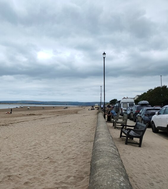
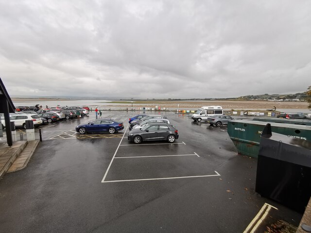
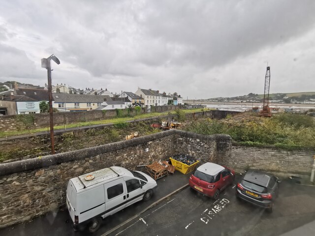
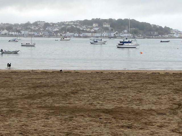
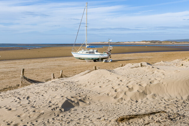
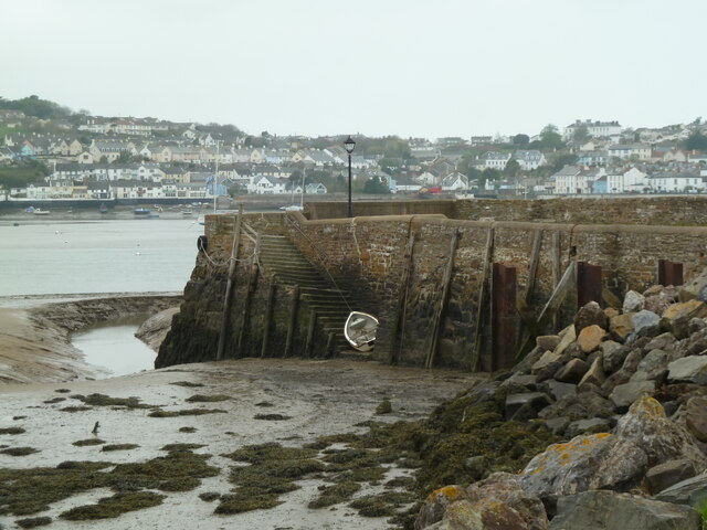
Images are sourced within 2km of 51.039598/-4.1807729 or Grid Reference SS4728. Thanks to Geograph Open Source API. All images are credited.


Tapeley Wood is located at Grid Ref: SS4728 (Lat: 51.039598, Lng: -4.1807729)
Administrative County: Devon
District: North Devon
Police Authority: Devon and Cornwall
What 3 Words
///geese.dinner.botanists. Near Appledore, Devon
Nearby Locations
Related Wikis
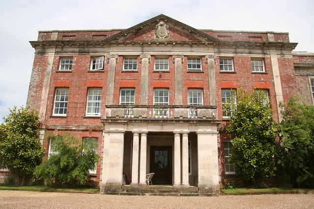
Tapeley
Tapeley is a historic estate in the parish of Westleigh in North Devon, England.The present mansion house known as Tapeley Park is a grade II* listed country...
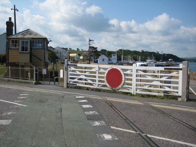
Instow railway station
Instow railway station was a railway station in the village of Instow, North Devon, England, on the Bideford Extension of the North Devon Railway. Opened...

Westleigh, North Devon
Westleigh is a village and civil parish in the North Devon district, in the English County of Devon. Tapeley Park, a country house, is located within the...

Southcott, North Devon
Southcott is a hamlet east of Bideford in the parish of Westleigh in the district of North Devon, in the county of Devon, England. The hamlet consists...
Nearby Amenities
Located within 500m of 51.039598,-4.1807729Have you been to Tapeley Wood?
Leave your review of Tapeley Wood below (or comments, questions and feedback).