Battens Wood
Wood, Forest in Devon West Devon
England
Battens Wood

Battens Wood is a picturesque woodland located in the county of Devon, England. Covering an area of approximately 50 hectares, it is a popular destination for nature enthusiasts and hikers alike. The wood is situated in a rural setting, surrounded by rolling hills and scenic countryside.
The forest is primarily composed of broadleaf trees, including oak, beech, and ash, which create a dense canopy that provides shade and shelter for a diverse range of wildlife. The woodland floor is rich in flora, with carpets of bluebells and wild garlic in the spring, adding a burst of color to the landscape.
Tranquil walking trails wind their way through the wood, offering visitors the chance to explore its natural beauty. These paths are well-maintained and suitable for all ages and abilities, with some designated as wheelchair accessible. Along the trails, visitors may come across old stone walls and remnants of historic structures, serving as reminders of the area's past.
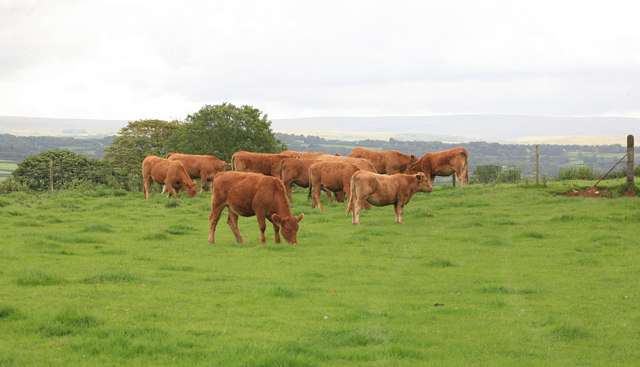
Battens Wood is teeming with wildlife, making it a haven for birdwatchers and animal enthusiasts. Numerous bird species, such as woodpeckers, thrushes, and owls, can be spotted nesting and foraging in the trees. Squirrels, badgers, and deer are also commonly sighted in the woodland, adding to its charm and allure.
The wood is open to the public year-round, and entry is free. Visitors are encouraged to respect the natural environment and follow any designated guidelines or restrictions. With its enchanting beauty and abundant wildlife, Battens Wood offers a serene escape into nature for all who venture into its depths.
If you have any feedback on the listing, please let us know in the comments section below.
Battens Wood Images
Images are sourced within 2km of 50.474625/-4.1727419 or Grid Reference SX4566. Thanks to Geograph Open Source API. All images are credited.


Battens Wood is located at Grid Ref: SX4566 (Lat: 50.474625, Lng: -4.1727419)
Administrative County: Devon
District: West Devon
Police Authority: Devon and Cornwall
What 3 Words
///bunny.irritate.ever. Near Bere Alston, Devon
Nearby Locations
Related Wikis

River Tavy
The Tavy () is a river on Dartmoor, Devon, England. The name derives from the Brythonic root "Tam", once thought to mean 'dark' but now generally understood...

Lopwell
Lopwell is a site of natural beauty situated at the normal tidal limit of the River Tavy, 3 miles from north Plymouth and 7 miles from Tavistock, Devon...

Maristow House
Maristow House in the parish of Bickleigh (formerly Tamerton Foliot), Devon, England, is a large country house set in landscaped parkland, on the River...
Bere Alston
Bere Alston is a village in West Devon in the county of Devon in England. It forms part of the civil parish of Bere Ferrers. == History and geography... ==

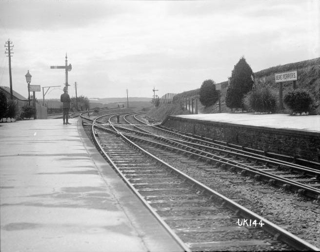
Bere Alston railway station
Bere Alston railway station serves the village of Bere Alston in Devon, England, 10+1⁄4 miles (16.5 km) north of Plymouth on the Tamar Valley Line to Gunnislake...
Bere Ferrers
Bere Ferrers, sometimes called Beerferris, is a village and civil parish on the Bere peninsula in West Devon in the English county of Devon. It is located...
Bere Ferrers rail accident
The Bere Ferrers rail accident occurred at Bere Ferrers railway station in England on 24 September 1917 when ten soldiers from New Zealand alighted from...
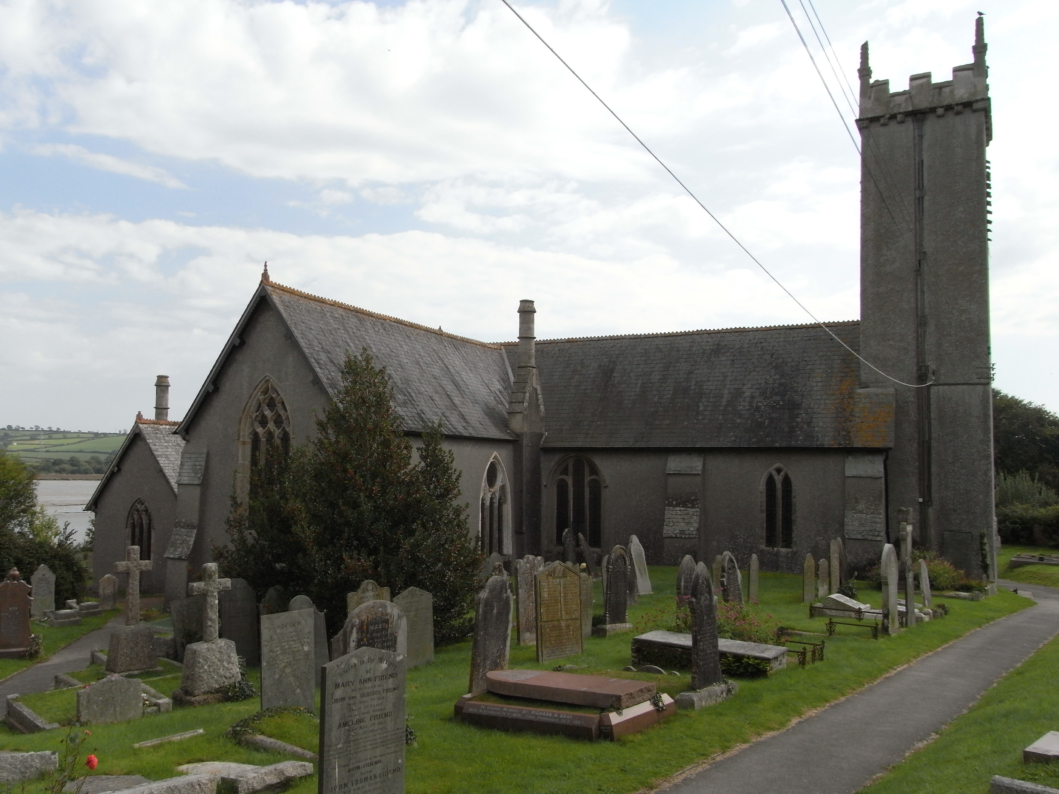
St Andrew's Church, Bere Ferrers
St Andrew's Church in Bere Ferrers, Devon, is a parish church in the Church of England The church contains the oldest stained-glass window in Devon (excluding...
Nearby Amenities
Located within 500m of 50.474625,-4.1727419Have you been to Battens Wood?
Leave your review of Battens Wood below (or comments, questions and feedback).