Liddaton Down Plantation

Wood, Forest in Devon West Devon

England

Liddaton Down Plantation

Methodist chapel East Liddaton Just south of the old East Liddaton railway bridge, a short path leads off the road to a graveyard with the remains of a Methodist chapel. There is a benchmark on the near corner <a href="https://www.geograph.org.uk/photo/7045955">SX4682 : Benchmark on a chapel</a>.
Methodist chapel East Liddaton Credit: Neville Goodman

Liddaton Down Plantation is a picturesque woodland located in the county of Devon, England. Situated near the village of Brentor, this plantation covers an area of approximately 300 acres. It is a mix of broadleaf and coniferous trees, creating a diverse and vibrant ecosystem.

The plantation is known for its natural beauty and serene atmosphere. Visitors can explore the many walking trails that wind through the woodland, offering stunning views of the surrounding countryside. The trees provide ample shade, making it a popular spot for picnics and leisurely strolls.

Liddaton Down Plantation is home to a variety of wildlife, including deer, foxes, and a wide range of bird species. Nature enthusiasts can spot woodpeckers, owls, and even the occasional buzzard soaring overhead. The dense vegetation and peaceful surroundings make it an ideal habitat for these creatures.

The plantation is also a haven for plant enthusiasts, with a diverse array of flora on display throughout the year. Bluebells carpet the forest floor in spring, while vibrant ferns and mosses thrive in the damp undergrowth. Towering oak and beech trees dominate the landscape, providing a majestic backdrop to the woodland.

This natural gem attracts both locals and tourists alike, offering a tranquil escape from the hustle and bustle of everyday life. Liddaton Down Plantation is a testament to the beauty of Devon's countryside and serves as a reminder of the importance of preserving and appreciating our natural heritage.

If you have any feedback on the listing, please let us know in the comments section below.

Liddaton Down Plantation Images

Images are sourced within 2km of 50.613998/-4.1943978 or Grid Reference SX4481. Thanks to Geograph Open Source API. All images are credited.

Methodist chapel East Liddaton Just south of the old East Liddaton railway bridge, a short path leads off the road to a graveyard with the remains of a Methodist chapel. There is a benchmark on the near corner <a href="https://www.geograph.org.uk/photo/7045955">SX4682 : Benchmark on a chapel</a>.
Methodist chapel East Liddaton
Just south of the old East Liddaton railway bridge, a short path leads off the road to a graveyard with the remains of a Methodist chapel. There is a benchmark on the near corner SX4682 : Benchmark on a chapel.
Benchmark on a chapel A good deal of scraping and removal of moss from the wall of the chapel <a href="https://www.geograph.org.uk/photo/7045951">SX4682 : Methodist chapel East Liddaton</a> revealed a cut benchmark in excellent condition. <span class="nowrap"><a title="https://www.bench-marks.org.uk/bm160320" rel="nofollow ugc noopener" href="https://www.bench-marks.org.uk/bm160320">Link</a><img style="margin-left:2px;" alt="External link" title="External link - shift click to open in new window" src="https://s1.geograph.org.uk/img/external.png" width="10" height="10"/></span>
Benchmark on a chapel
A good deal of scraping and removal of moss from the wall of the chapel SX4682 : Methodist chapel East Liddaton revealed a cut benchmark in excellent condition. LinkExternal link
The old railway bridge at Liddaton Halt Liddaton Halt station is long gone, but the road bridge remains. After much gardening we found the cut benchmark <a href="https://www.geograph.org.uk/photo/7045979">SX4682 : Benchmark on a bridge</a> on the right hand (W) parapet.
The old railway bridge at Liddaton Halt
Liddaton Halt station is long gone, but the road bridge remains. After much gardening we found the cut benchmark SX4682 : Benchmark on a bridge on the right hand (W) parapet.
Old Milestone, Bowden Down In the parish of Brentnor, Devon, 5.5 miles North of Tavistock. This has been consistently listed on old maps as "stone". It is not clear when the engraving was cut, but had it existed during WWII it would have had to be removed, buried or disfigured.

Inscription: T / 5

Milestone Society National ID: DV_TVOKB05
Old Milestone, Bowden Down
In the parish of Brentnor, Devon, 5.5 miles North of Tavistock. This has been consistently listed on old maps as "stone". It is not clear when the engraving was cut, but had it existed during WWII it would have had to be removed, buried or disfigured. Inscription: T / 5 Milestone Society National ID: DV_TVOKB05
Broadpark: formation of old railway Formation of old Great Western branch line to Launceston
Broadpark: formation of old railway
Formation of old Great Western branch line to Launceston
Ford at Liddaton Down Not the most exciting ford but this ford is found at Liddaton Down.
Ford at Liddaton Down
Not the most exciting ford but this ford is found at Liddaton Down.
Old Direction Sign - Signpost by crossroads near Coryton Old Station Pyramid finial - 4 arms; Devon DCC pyramid by the UC road, in parish of Coryton (West Devon District), Coryton Old Station, Green Lanes, under tree at junction.

Devon & Dartmoor HER.
HER Number: MDV120159 <span class="nowrap"><a title="https://www.heritagegateway.org.uk/Gateway/Results_Single.aspx?uid=MDV120159&resourceID=104" rel="nofollow ugc noopener" href="https://www.heritagegateway.org.uk/Gateway/Results_Single.aspx?uid=MDV120159&resourceID=104">Link</a><img style="margin-left:2px;" alt="External link" title="External link - shift click to open in new window" src="https://s1.geograph.org.uk/img/external.png" width="10" height="10"/></span>

Surveyed

Milestone Society National ID: DV_SX4483
Old Direction Sign - Signpost by crossroads near Coryton Old Station
Pyramid finial - 4 arms; Devon DCC pyramid by the UC road, in parish of Coryton (West Devon District), Coryton Old Station, Green Lanes, under tree at junction. Devon & Dartmoor HER. HER Number: MDV120159 LinkExternal link Surveyed Milestone Society National ID: DV_SX4483
Old Direction Sign - Signpost by Chillaton village square No finial - 3 arms; Stone post with metal mount by the UC road, in parish of Milton Abbot (West Devon District), Chillaton village square, in cottage garden beside bridge.

Devon & Dartmoor HER.
HER Number: MDV41300 <span class="nowrap"><a title="https://www.heritagegateway.org.uk/Gateway/Results_Single.aspx?uid=MDV41300&resourceID=104" rel="nofollow ugc noopener" href="https://www.heritagegateway.org.uk/Gateway/Results_Single.aspx?uid=MDV41300&resourceID=104">Link</a><img style="margin-left:2px;" alt="External link" title="External link - shift click to open in new window" src="https://s1.geograph.org.uk/img/external.png" width="10" height="10"/></span>

Surveyed

Milestone Society National ID: DV_SX4381
Old Direction Sign - Signpost by Chillaton village square
No finial - 3 arms; Stone post with metal mount by the UC road, in parish of Milton Abbot (West Devon District), Chillaton village square, in cottage garden beside bridge. Devon & Dartmoor HER. HER Number: MDV41300 LinkExternal link Surveyed Milestone Society National ID: DV_SX4381
Old Toll House by Chillaton Hill, Milton Abbot parish Toll House in the parish of Milton Abbot (West Devon District), The Roundhouse, Chillaton Hill, PL19 0PZ.

Grade II listed.
List Entry Number: 1247235 <span class="nowrap"><a title="https://historicengland.org.uk/listing/the-list/list-entry/1247235" rel="nofollow ugc noopener" href="https://historicengland.org.uk/listing/the-list/list-entry/1247235">Link</a><img style="margin-left:2px;" alt="External link" title="External link - shift click to open in new window" src="https://s1.geograph.org.uk/img/external.png" width="10" height="10"/></span>

Surveyed

Milestone Society National ID: DV.MIL
Old Toll House by Chillaton Hill, Milton Abbot parish
Toll House in the parish of Milton Abbot (West Devon District), The Roundhouse, Chillaton Hill, PL19 0PZ. Grade II listed. List Entry Number: 1247235 LinkExternal link Surveyed Milestone Society National ID: DV.MIL
Former Pub and Shop, Chillaton The same place as in Jonathan Billinger's 2008 picture <a href="https://www.geograph.org.uk/photo/677703">SX4381 : Village pub and shop</a>
Sadly neither business has survived. The shop is now housing while the empty Chichester Arms has sandbags at the doors and looks to have been hit by flooding.
Former Pub and Shop, Chillaton
The same place as in Jonathan Billinger's 2008 picture SX4381 : Village pub and shop Sadly neither business has survived. The shop is now housing while the empty Chichester Arms has sandbags at the doors and looks to have been hit by flooding.
Straight Road near Brent Tor In an area of narrow winding lanes, this is a bit of a highway.
Straight Road near Brent Tor
In an area of narrow winding lanes, this is a bit of a highway.
Junction for Week  The minor road is a cul-de-sac ending at Week
Junction for Week
The minor road is a cul-de-sac ending at Week
Minor road (no through road) to Week
Former station at Coryton, 1986 View westward, towards Launceston: ex-GWR Plymouth - Tavistock - Launceston line. A splendid garden has been made on the former track-bed of a line that had seen its heyday in World War Two, when on 22/9/43 a connection was opened with the SR main line at Launceston, but the branch was closed completely on 31/12/62.
Former station at Coryton, 1986
View westward, towards Launceston: ex-GWR Plymouth - Tavistock - Launceston line. A splendid garden has been made on the former track-bed of a line that had seen its heyday in World War Two, when on 22/9/43 a connection was opened with the SR main line at Launceston, but the branch was closed completely on 31/12/62.
Crossroads at Perry Spears The low roof beyond the hedge on the left is on the site of the former railway station; the railway line crossed the road just south of the crossroads
Crossroads at Perry Spears
The low roof beyond the hedge on the left is on the site of the former railway station; the railway line crossed the road just south of the crossroads
Bridge over River Lyd south of Perry Spears
Minor turning for Marystow
Daffodils and dense hedges at Forda
Show me another place!

Liddaton Down Plantation is located at Grid Ref: SX4481 (Lat: 50.613998, Lng: -4.1943978)

Administrative County: Devon

District: West Devon

Police Authority: Devon and Cornwall

What 3 Words

///ample.outwards.meanwhile. Near Lifton, Devon

Related Wikis

Chillaton

Chillaton is a village in the county of Devon, England, about 6 miles north of Tavistock. The village is part of the electoral ward of Milton Ford. Its...
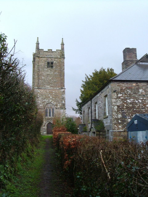
Marystow

Marystow or Stow-St. Mary was a village and parish in the Tavistock district of Devon, England. St Mary's church is medieval. The chancel was built in...

Coryton, Devon

Coryton is a hamlet and civil parish in the West Devon district of Devon, England, to the north west of Tavistock. Coryton is in the valley of the River...

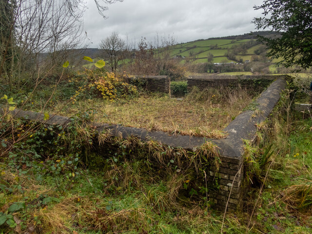
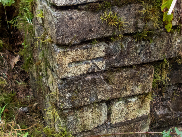
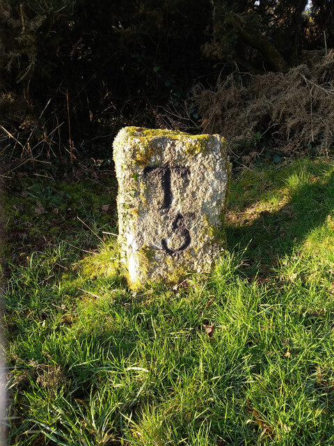
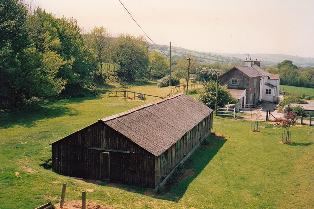
Liddaton Halt railway station

Liddaton Halt was a railway station opened in 1938 by the Great Western Railway to serve the hamlet of Liddaton that lies between Coryton and Lydford in...
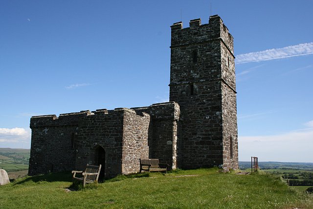
Brent Tor

Brent Tor is a tor on the western edge of Dartmoor, approximately four miles (6.5 km) north of Tavistock, rising to 1100 ft (330m) above sea level. The...

Sydenham House, Devon

Sydenham House (anciently Sidelham, Sidraham, etc.) in the parish of Marystow in Devon, England, is a seventeenth-century manor house. The Grade I listed...

Brentor

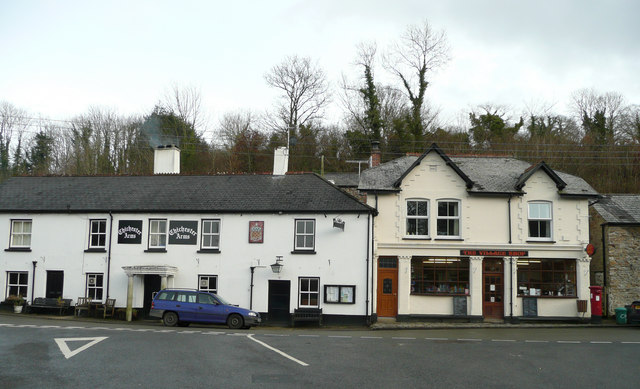
Brentor is a village in West Devon, England. Its population in 2001 was 423. The village is dominated by the hill of Brent Tor, topped by the village's...

Brentor railway station

Brentor railway station used to serve the village of Brentor in Devon, England. It was on the Plymouth, Devonport and South Western Junction Railway's...

Have you been to Liddaton Down Plantation?

Leave your review of Liddaton Down Plantation below (or comments, questions and feedback).