Ash Wood
Wood, Forest in Devon Torridge
England
Ash Wood
Ash Wood is a scenic woodland located in Devon, England. Spread across a vast area, it is known for its dense and diverse collection of ash trees, hence the name. The wood is situated in a rural area, surrounded by rolling hills and picturesque landscapes, making it an ideal destination for nature enthusiasts and outdoor lovers.
The wood boasts a rich biodiversity, with a variety of flora and fauna thriving within its boundaries. The canopy of ash trees provides a habitat for numerous bird species, including woodpeckers, owls, and various songbirds. The forest floor is carpeted with an array of wildflowers during the spring and summer months, adding a splash of vibrant colors to the surroundings.
Ash Wood offers a network of walking trails and footpaths, allowing visitors to explore its beauty at their own pace. These trails wind through the woods, offering glimpses of serene ponds, babbling brooks, and charming clearings. The peaceful ambiance and tranquility of the forest make it an ideal spot for picnics, meditation, or simply unwinding amidst nature.
The wood is managed by local authorities and conservation organizations, ensuring its protection and preservation for future generations. Educational programs and guided tours are often organized to raise awareness about the importance of preserving such natural habitats.
Overall, Ash Wood is a haven for nature enthusiasts, offering a breathtaking display of lush greenery, diverse wildlife, and a chance to reconnect with the serenity of the natural world.
If you have any feedback on the listing, please let us know in the comments section below.
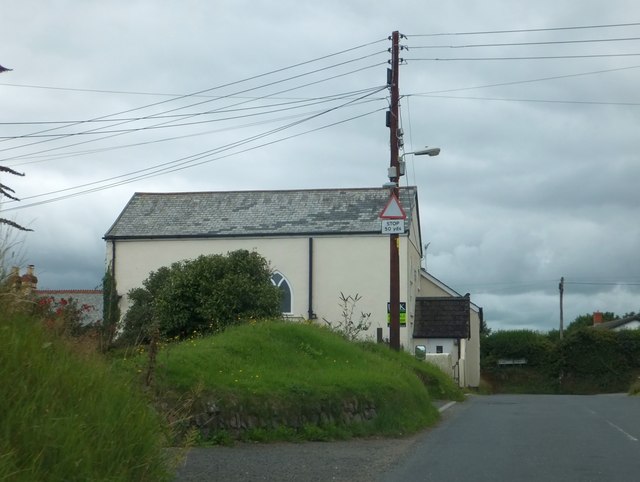
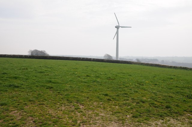
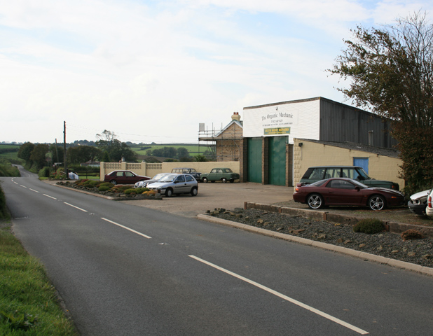
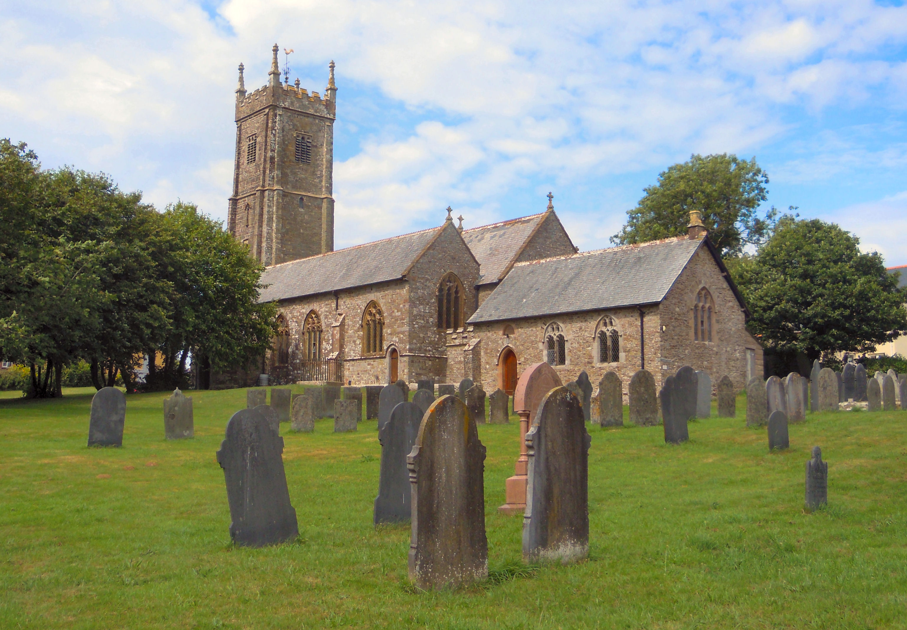
Ash Wood Images
Images are sourced within 2km of 50.944719/-4.2310231 or Grid Reference SS4318. Thanks to Geograph Open Source API. All images are credited.


Ash Wood is located at Grid Ref: SS4318 (Lat: 50.944719, Lng: -4.2310231)
Administrative County: Devon
District: Torridge
Police Authority: Devon and Cornwall
What 3 Words
///tolerable.popped.chambers. Near Great Torrington, Devon
Nearby Locations
Related Wikis

Hembury Castle, Tythecott
Hembury Castle is an Iron Age Hill fort situated close to Tythecott, south of Buckland Brewer in Devon. The fort is situated on a promontory off the East...

Frithelstock
Frithelstock (pronounced Frizzlestock) is a village, civil parish and former manor in Devon, England. It is located within Torridge local authority area...
Buckland Brewer
Buckland Brewer is a village and civil parish in the Torridge district of Devon, England, 4.7 miles south of Bideford. Historically the parish formed...
Church of St Mary and St Benedict, Buckland Brewer
St Mary and St Benedict is the Church of England parish church for the village of Buckland Brewer near Bideford in North Devon. It is part of the benefice...

Monkleigh
Monkleigh is a village, parish and former manor in north Devon, England, situated 2 1/2 miles north-west of Great Torrington and 3 1/2 miles south-east...
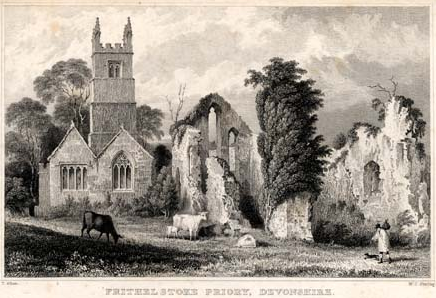
Frithelstock Priory
Frithelstock Priory was founded in about 1220 at Frithelstock, Devon, England, by Sir Robert de Beauchamp for Augustinian Canons Regular, as an indulgence...
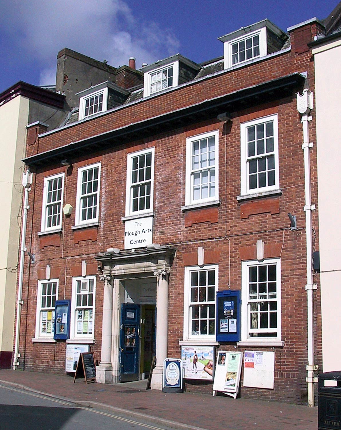
The Plough Arts Centre, Torrington
The Plough Arts Centre is a theatre, cinema and art gallery in Torrington, North Devon, England. The Plough is situated in a former Territorial Army drill...

Langtree
Langtree is a village and parish in north Devon, England, situated about 4 miles (6 km) south-west of Great Torrington and 8 miles (13 km) south of Bideford...
Nearby Amenities
Located within 500m of 50.944719,-4.2310231Have you been to Ash Wood?
Leave your review of Ash Wood below (or comments, questions and feedback).