Cherry Orchard
Settlement in Worcestershire Worcester
England
Cherry Orchard

Cherry Orchard is a small village located in Worcestershire, a county in the West Midlands region of England. Situated approximately four miles to the east of the city of Worcester, Cherry Orchard is a close-knit community known for its picturesque surroundings and peaceful atmosphere.
The village derives its name from the cherry orchards that once flourished in the area, contributing to its natural beauty. Today, while the cherry orchards have diminished in number, the village still retains its rural charm with several green open spaces and pockets of woodland.
Cherry Orchard primarily consists of residential properties, ranging from quaint cottages to modern houses. The village is home to a diverse population, including families, professionals, and retirees, who appreciate its idyllic setting and convenient proximity to both Worcester and the surrounding countryside.
Despite its small size, Cherry Orchard offers a few local amenities for its residents. These include a community center, a primary school, and a convenience store, catering to the basic needs of the village. In addition, the nearby city of Worcester provides a wider range of facilities, including shopping centers, healthcare services, and leisure activities.
Cherry Orchard benefits from excellent transport links, with easy access to major road networks such as the A449 and M5 motorway. This allows residents to commute to nearby towns and cities, including Birmingham and Gloucester, as well as access other parts of Worcestershire.
Overall, Cherry Orchard offers a peaceful and scenic living environment, making it an attractive place for those seeking a rural lifestyle within close proximity to urban amenities.
If you have any feedback on the listing, please let us know in the comments section below.
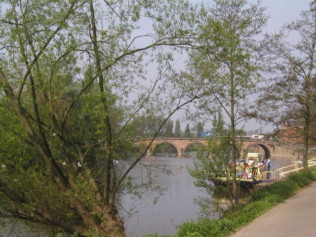
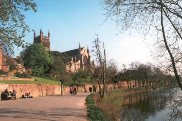
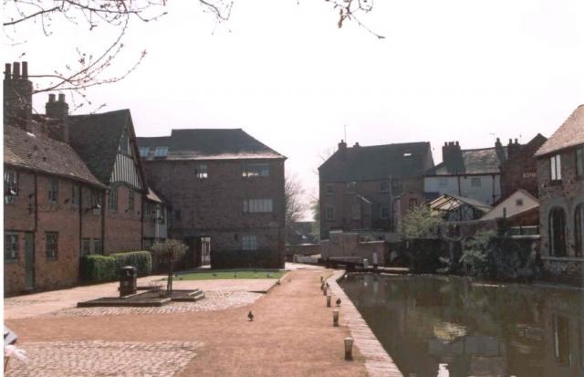
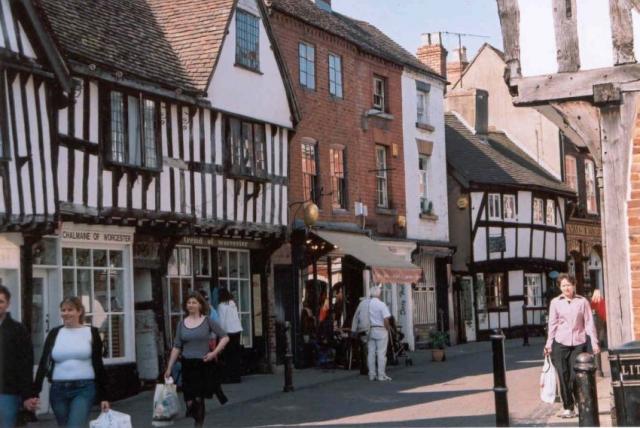
Cherry Orchard Images
Images are sourced within 2km of 52.177717/-2.218603 or Grid Reference SO8553. Thanks to Geograph Open Source API. All images are credited.


Cherry Orchard is located at Grid Ref: SO8553 (Lat: 52.177717, Lng: -2.218603)
Administrative County: Worcestershire
District: Worcester
Police Authority: West Mercia
What 3 Words
///toast.hoot.duke. Near Worcester, Worcestershire
Nearby Locations
Related Wikis
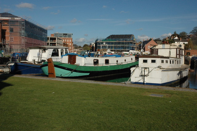
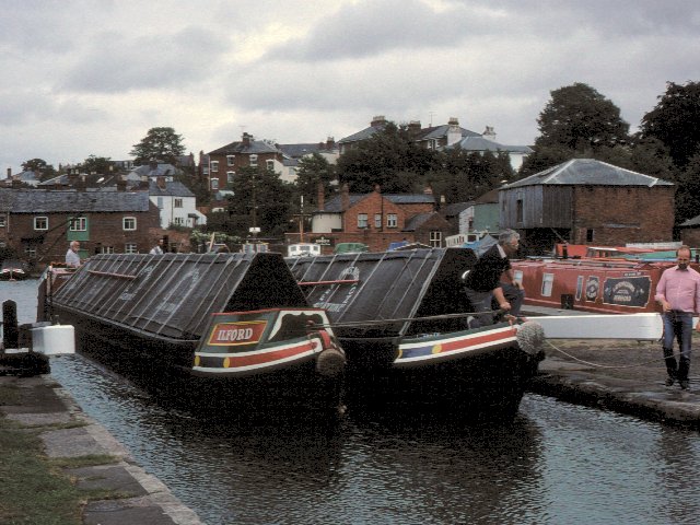
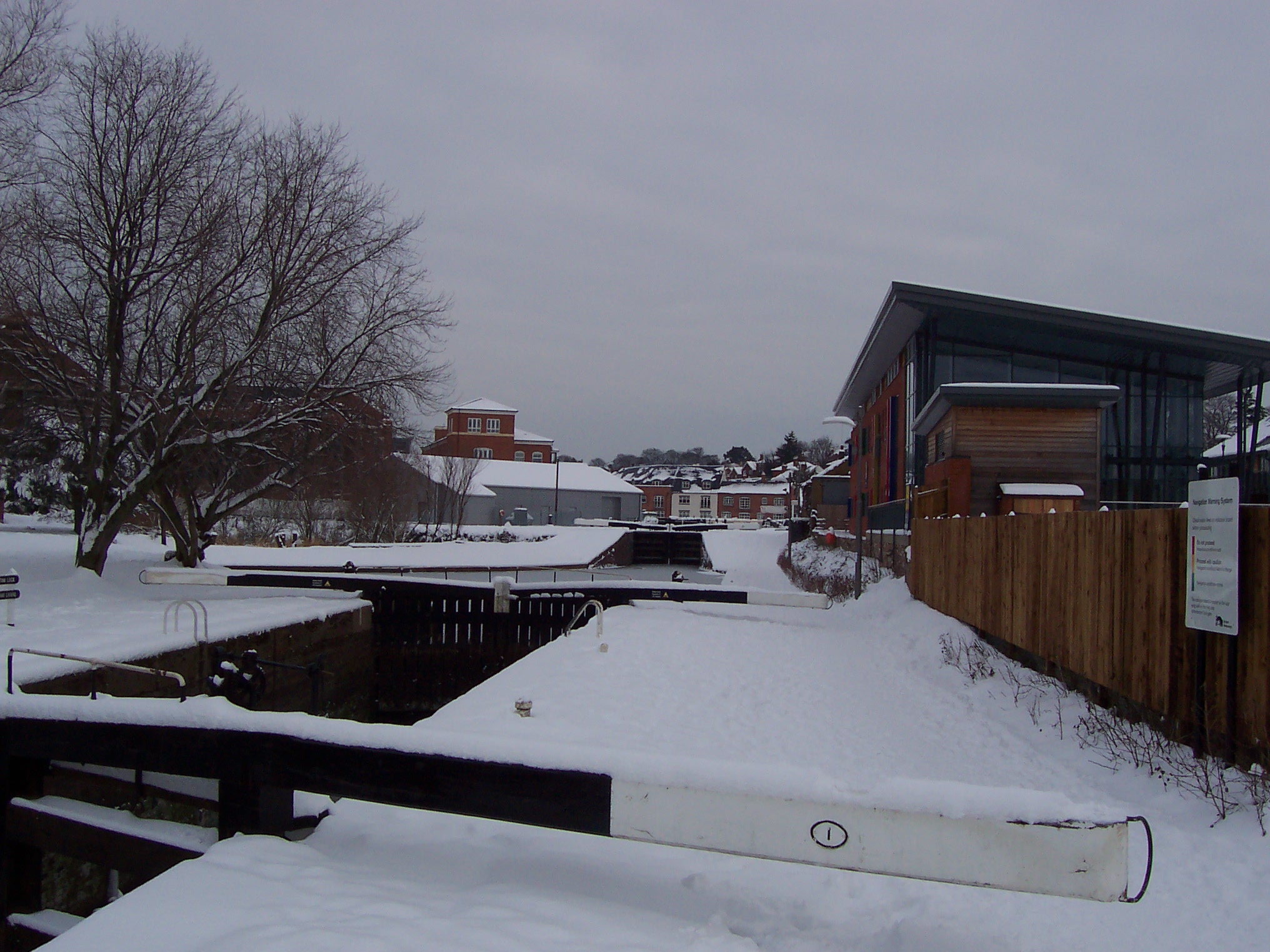
Diglis Basin
Diglis Basin is a canal basin on the Worcester and Birmingham Canal. It is situated in Diglis in the centre of Worcester, England, near The Commandery...
Diglis
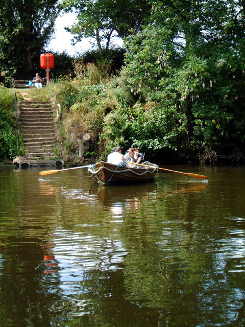
Diglis is a suburb of Worcester, England. It is located around half a mile south of the city centre on the banks of the River Severn. The Worcester and...

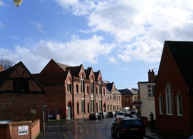
Blessed Edward Oldcorne Catholic College
Blessed Edward Oldcorne Catholic College is a coeducational Roman Catholic secondary school located in Worcester, England, locally referred to as "Blesseds...
St Mary's School, Worcester
St Mary's School, Worcester (also known as Worcester's Girls' School) was a private day school for girls aged 0–18 (and boys aged 0–5) in Worcester, England...
King's School Worcester Boat Club
King's School Worcester Boat Club is a rowing club on the River Severn, based at the Michael Baker Boathouse, Severn Street, Worcester, Worcestershire...
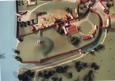
Worcester Castle
Worcester Castle was a Norman fortification built between 1068 and 1069 in Worcester, England by Urse d'Abetot on behalf of William the Conqueror. The...
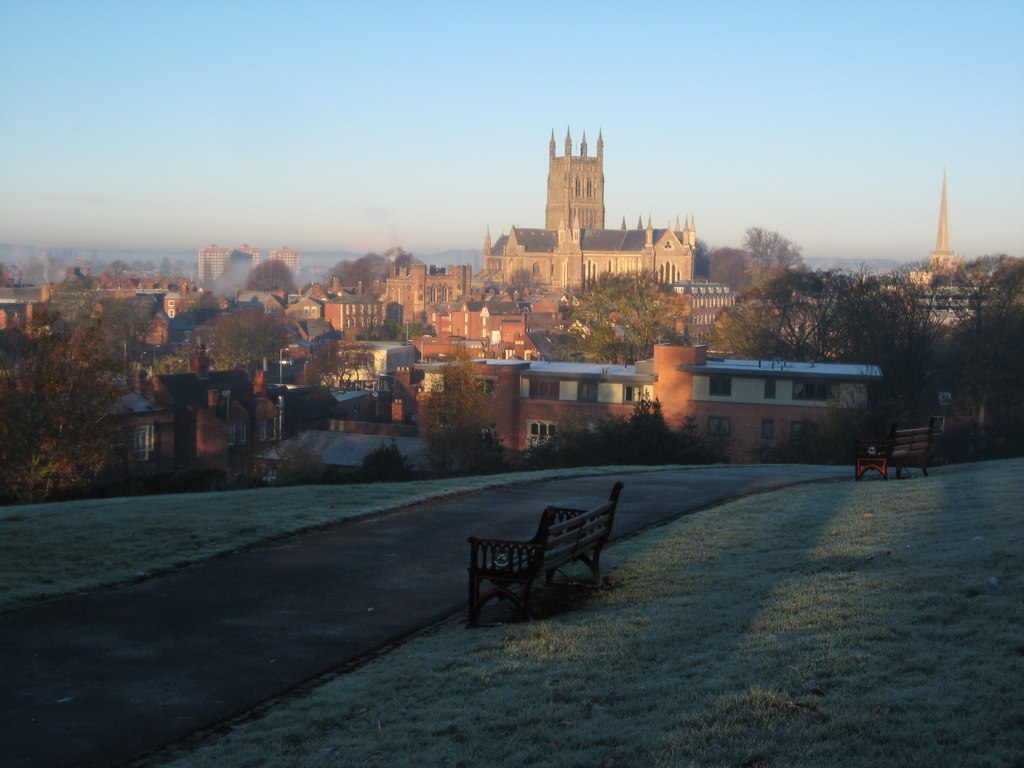
Fort Royal Hill
Fort Royal Hill is a park in Worcester, England, and the site of the remains of an English Civil War fort. == History == Fort Royal was a Civil War sconce...
Museum of Royal Worcester
The Museum of Royal Worcester (formerly Worcester Porcelain Museum and Dyson Perrins Museum) is a ceramics museum located in the Royal Worcester porcelain...
Nearby Amenities
Located within 500m of 52.177717,-2.218603Have you been to Cherry Orchard?
Leave your review of Cherry Orchard below (or comments, questions and feedback).