Bradfordmill Copse

Wood, Forest in Devon Torridge

England

Bradfordmill Copse

Green lane bridge Sturdy if functional concrete replacement bridge over a tributary of the River Torridge, on the green lane between Cookbury and Bradford.  Apart from a susceptibility to flooding, the lane is in remarkably good condition for an unsurfaced, unclassified county road.
Green lane bridge Credit: Hugh Craddock

Bradfordmill Copse is a picturesque woodland located in Devon, England. Spread across an area of approximately 100 acres, it is a popular destination for nature lovers and outdoor enthusiasts. The copse is situated near the village of Bradfordmill, which adds to its charm and accessibility.

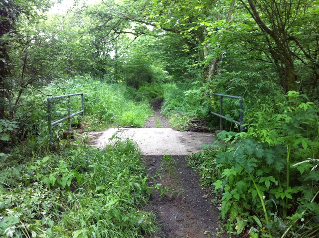
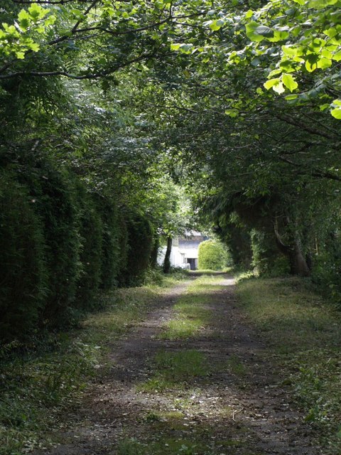
The woodland is characterized by a diverse range of tree species, including oak, beech, ash, and birch. The dense canopy formed by these trees provides a cool and shaded environment, perfect for a leisurely walk or a picnic on a warm summer day. The forest floor is covered with a thick layer of moss and ferns, creating a lush and vibrant undergrowth.

Bradfordmill Copse is home to a variety of wildlife, making it a haven for nature enthusiasts. Visitors may spot woodland creatures such as deer, foxes, badgers, and a wide variety of bird species. The copse also hosts a rich insect population, with butterflies and dragonflies fluttering about during the warmer months.

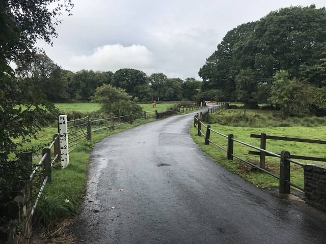
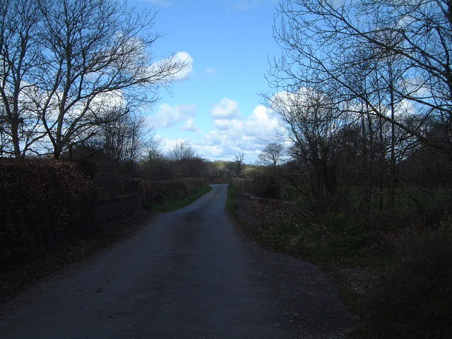
Several well-marked trails wind through the woodland, allowing visitors to explore its beauty at their own pace. These trails vary in difficulty, catering to both casual strollers and more adventurous hikers. Along the way, visitors can enjoy breathtaking views of the surrounding countryside and may come across small streams and ponds.

Overall, Bradfordmill Copse offers a tranquil and idyllic escape from the hustle and bustle of everyday life. Whether it's a peaceful walk, a family outing, or a chance to immerse oneself in nature, this woodland provides a truly enchanting experience for all who visit.

If you have any feedback on the listing, please let us know in the comments section below.

Bradfordmill Copse Images

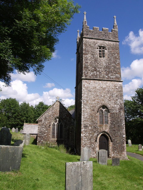
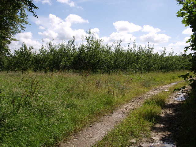
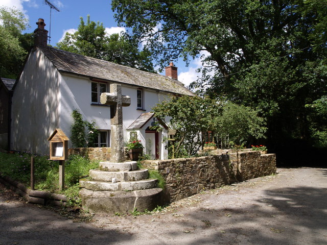
Images are sourced within 2km of 50.84488/-4.235702 or Grid Reference SS4207. Thanks to Geograph Open Source API. All images are credited.

Green lane bridge Sturdy if functional concrete replacement bridge over a tributary of the River Torridge, on the green lane between Cookbury and Bradford.  Apart from a susceptibility to flooding, the lane is in remarkably good condition for an unsurfaced, unclassified county road.
Green lane bridge
Sturdy if functional concrete replacement bridge over a tributary of the River Torridge, on the green lane between Cookbury and Bradford. Apart from a susceptibility to flooding, the lane is in remarkably good condition for an unsurfaced, unclassified county road.
Dippermill Ford This ford in Dippermill is found on the flood plain of the River Torridge.
Dippermill Ford
This ford in Dippermill is found on the flood plain of the River Torridge.
Ford at Holemoor This ford beside Hole Farm at Holemoor is marked by what looks to be a "home made" depth gauge.
Ford at Holemoor
This ford beside Hole Farm at Holemoor is marked by what looks to be a "home made" depth gauge.
Old Wayside Cross in Bradford Village, Devon Bradford Village Cross, old shaft in a new cross, by the UC road, in parish of Bradford (Torridge District), junction with lane down to the church, on roadway beside garden wall.

Scheduled Monument. List Entry Number: 1013729
<span class="nowrap"><a title="https://historicengland.org.uk/listing/the-list/list-entry/1013729" rel="nofollow ugc noopener" href="https://historicengland.org.uk/listing/the-list/list-entry/1013729">Link</a><img style="margin-left:2px;" alt="External link" title="External link - shift click to open in new window" src="https://s1.geograph.org.uk/img/external.png" width="10" height="10"/></span>

Surveyed

Milestone Society National ID: DVTR_BRA.
Old Wayside Cross in Bradford Village, Devon
Bradford Village Cross, old shaft in a new cross, by the UC road, in parish of Bradford (Torridge District), junction with lane down to the church, on roadway beside garden wall. Scheduled Monument. List Entry Number: 1013729 LinkExternal link Surveyed Milestone Society National ID: DVTR_BRA.
Old Direction Sign - Signpost by Lana Cross, Bradford parish Pyramid cap finial - 3 arms; Devon DCC pyramid with name by the UC road, in parish of Bradford (Torridge District), Lana Cross, by road to Bradford church.

Surveyed

Milestone Society National ID: DV_SS4206
Old Direction Sign - Signpost by Lana Cross, Bradford parish
Pyramid cap finial - 3 arms; Devon DCC pyramid with name by the UC road, in parish of Bradford (Torridge District), Lana Cross, by road to Bradford church. Surveyed Milestone Society National ID: DV_SS4206
A Quiet Country Lane Facing towards Dipper Mill
A Quiet Country Lane
Facing towards Dipper Mill
All Saints Church, Bradford The tower is 14th century, although the pinnacles were among the features renewed in the C19.
All Saints Church, Bradford
The tower is 14th century, although the pinnacles were among the features renewed in the C19.
Orchard, Bradford One of a pair of young orchards close to the lane through the hamlet.
Orchard, Bradford
One of a pair of young orchards close to the lane through the hamlet.
West Bradford The farm is at the end of a shady track leading off the lane from Bradford to Holemoor.
West Bradford
The farm is at the end of a shady track leading off the lane from Bradford to Holemoor.
Lane to Priestacott A long shady stretch of lane climbs gently into the hamlet from the Torridge valley.
Lane to Priestacott
A long shady stretch of lane climbs gently into the hamlet from the Torridge valley.
All Saints Church, Bradford A view of the south side of <a href="https://www.geograph.org.uk/photo/489393">SS4207 : All Saints Church, Bradford</a>. Within the porch is a Norman doorway.
All Saints Church, Bradford
A view of the south side of SS4207 : All Saints Church, Bradford. Within the porch is a Norman doorway.
Cross, Bradford The cross is at the junction of the cul-de-sac leading to <a href="https://www.geograph.org.uk/photo/490395">SS4207 : All Saints Church, Bradford</a> with the lane from Bason Cross to Lana Cross. Appropriately, the house beside it is Stonecross Cottage.
Cross, Bradford
The cross is at the junction of the cul-de-sac leading to SS4207 : All Saints Church, Bradford with the lane from Bason Cross to Lana Cross. Appropriately, the house beside it is Stonecross Cottage.
Bradford Rehoboth Chapel Built in 1839, restored in 1893, as the plaque explains. By the road from Bradford to Holemoor, opposite Hole Farm.
Bradford Rehoboth Chapel
Built in 1839, restored in 1893, as the plaque explains. By the road from Bradford to Holemoor, opposite Hole Farm.
Holemoor Cottages by the junction in this large hamlet / small village. The road to the right leads towards Shebbear; straight ahead down the hill for Bradford; and the small lane on the left goes to Cookbury.
Holemoor
Cottages by the junction in this large hamlet / small village. The road to the right leads towards Shebbear; straight ahead down the hill for Bradford; and the small lane on the left goes to Cookbury.
Well at Holemoor Cross Sharing a steep triangle of grass with an old oak tree and a modern signpost, the well was "restored in 1977 to commemorate the Silver Jubilee of Queen Elizabeth II".
Well at Holemoor Cross
Sharing a steep triangle of grass with an old oak tree and a modern signpost, the well was "restored in 1977 to commemorate the Silver Jubilee of Queen Elizabeth II".
Meadow on the Torridge flood plain Seen from the lane between Gidcott Mill and Shebbear, this large meadow runs at first beside what must be the mill stream below the mill, and then beside the Torridge itself. The woods on the right clothe the slopes of the curiously named Gidcott Clapper Hills.
Meadow on the Torridge flood plain
Seen from the lane between Gidcott Mill and Shebbear, this large meadow runs at first beside what must be the mill stream below the mill, and then beside the Torridge itself. The woods on the right clothe the slopes of the curiously named Gidcott Clapper Hills.
Wheatfield near Worden Farm A field of wheat ripens beside the lane from Dippermill to Shebbear. One of the farm buildings (with a bluish roof) at Worden Farm can just be made out in the centre.
Wheatfield near Worden Farm
A field of wheat ripens beside the lane from Dippermill to Shebbear. One of the farm buildings (with a bluish roof) at Worden Farm can just be made out in the centre.
Henscott Bridge The lowest bridge on the River Waldon, before it joins the Torridge. The lane is heading from Gidcott to Bason.
Henscott Bridge
The lowest bridge on the River Waldon, before it joins the Torridge. The lane is heading from Gidcott to Bason.
Show me another place!

Bradfordmill Copse is located at Grid Ref: SS4207 (Lat: 50.84488, Lng: -4.235702)

Administrative County: Devon

District: Torridge

Police Authority: Devon and Cornwall

What 3 Words

///stiletto.spine.waistcoat. Near Holsworthy, Devon

Related Wikis

Bradford, Devon

Bradford is a village and civil parish in the local government district of Torridge, Devon, England. The parish, which lies about six miles east of the...

Shebbear

Shebbear (; SHEB-eer) is a village and civil parish in the Torridge district in Devon, England. It was once itself centre of the Shebbear hundred. In 2001...

Cookbury

Cookbury is a village and civil parish in the local government district of Torridge, Devon, England. The parish, which lies about five miles east of the...

Battledown Cross

Battledown Cross is a village in Devon, England.

Have you been to Bradfordmill Copse?

Leave your review of Bradfordmill Copse below (or comments, questions and feedback).