Bittleford Wood
Wood, Forest in Cornwall
England
Bittleford Wood
Bittleford Wood, located in Cornwall, England, is a picturesque woodland area renowned for its natural beauty and diverse ecosystem. Covering an area of approximately 50 hectares, the wood is a haven for nature enthusiasts and offers a serene escape from the hustle and bustle of everyday life.
The wood is predominantly composed of a mix of deciduous and coniferous trees, creating a rich tapestry of colors throughout the seasons. Towering oak, beech, and chestnut trees dominate the landscape, providing a habitat for various bird species, including the rare and elusive nightjar. The forest floor is adorned with a carpet of bluebells and wildflowers during springtime, creating a breathtaking sight for visitors.
Bittleford Wood boasts a network of well-maintained walking trails that wind through the woodland, allowing visitors to explore its hidden gems. The tranquil atmosphere and peaceful setting make it an ideal location for leisurely strolls, birdwatching, and nature photography.
The wood is also home to a diverse range of wildlife, including deer, foxes, badgers, and a multitude of small mammals. These creatures thrive in the wood's natural environment, which offers ample food sources and shelter.
Managed by the Cornwall Wildlife Trust, Bittleford Wood is committed to preserving and protecting its unique ecosystem. As a designated Site of Special Scientific Interest (SSSI), it is also used for educational purposes, allowing visitors to learn about conservation and the importance of maintaining biodiversity.
Overall, Bittleford Wood is a hidden gem in Cornwall, offering visitors an opportunity to immerse themselves in the beauty of nature and experience the wonders of a thriving woodland ecosystem.
If you have any feedback on the listing, please let us know in the comments section below.
Bittleford Wood Images
Images are sourced within 2km of 50.456681/-4.2461536 or Grid Reference SX4064. Thanks to Geograph Open Source API. All images are credited.


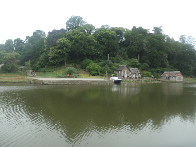
![Hilton Quay, River Tamar There are many small quays along the tidal river, dating from the time when the river was the main [perhaps only] freight route in this area.](https://s1.geograph.org.uk/geophotos/07/55/90/7559037_9ac7f661.jpg)


Bittleford Wood is located at Grid Ref: SX4064 (Lat: 50.456681, Lng: -4.2461536)
Unitary Authority: Cornwall
Police Authority: Devon and Cornwall
What 3 Words
///corn.expand.simmer. Near Pillaton, Cornwall
Nearby Locations
Related Wikis

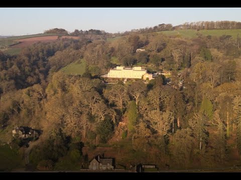
Pentillie
Pentillie Castle is a grade II* listed country house and estate on the bank of the River Tamar in Paynters Cross, near to St Mellion, in Cornwall, England...

Paynter's Cross
Paynter's Cross is a hamlet on the A388 main road southeast of St Mellion in southeast Cornwall, England, UK. == References ==

Halton Barton
Halton Barton is a farm in the parish of St Dominic in Cornwall, England. == See also == List of farms in Cornwall == References ==

Polborder
Polborder is a hamlet south of St Mellion in Cornwall, England. == References ==
Related Videos
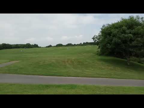
Walk around on St Mellion Golf Course
Walk around on St Mellion Golf Course.

Halton Quay
Spring morning at this peaceful spot, Hope you enjoy the scenery!

Nearby Amenities
Located within 500m of 50.456681,-4.2461536Have you been to Bittleford Wood?
Leave your review of Bittleford Wood below (or comments, questions and feedback).