Cherington
Settlement in Gloucestershire Cotswold
England
Cherington
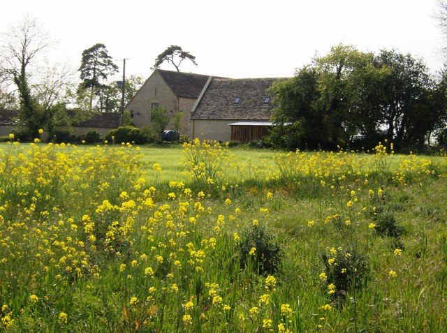
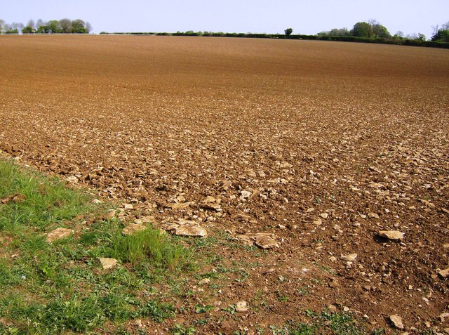
Cherington is a small village located in the district of Gloucestershire, England. Situated approximately 7 miles southwest of the town of Tetbury, it is nestled in the picturesque Cotswold Hills. Cherington is surrounded by stunning countryside and offers a peaceful and idyllic setting for residents and visitors alike.
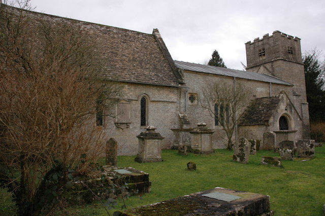
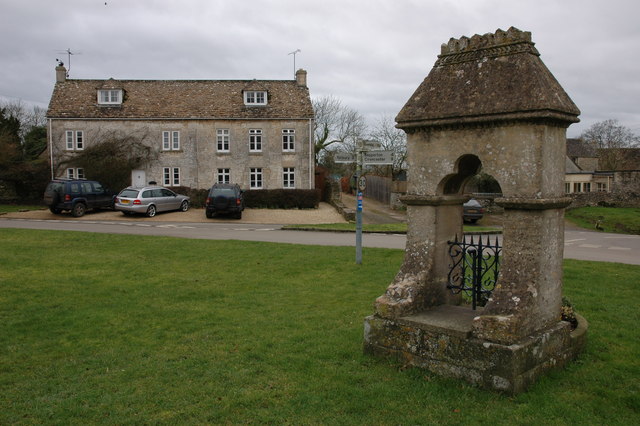
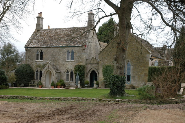
The village is known for its charming, traditional stone cottages and historic buildings, which give it a quintessential English village feel. The centerpiece of Cherington is the Church of St. Nicholas, a Grade II listed building that dates back to the 12th century. The church features beautiful stained glass windows and is a focal point for community events and religious services.
Cherington is a close-knit community, with a population of around 200 residents. The village has a welcoming and friendly atmosphere, and community spirit is evident in the various social and recreational activities that take place throughout the year. The village hall hosts regular events, including coffee mornings, craft fairs, and community gatherings, which provide opportunities for villagers to come together and socialize.
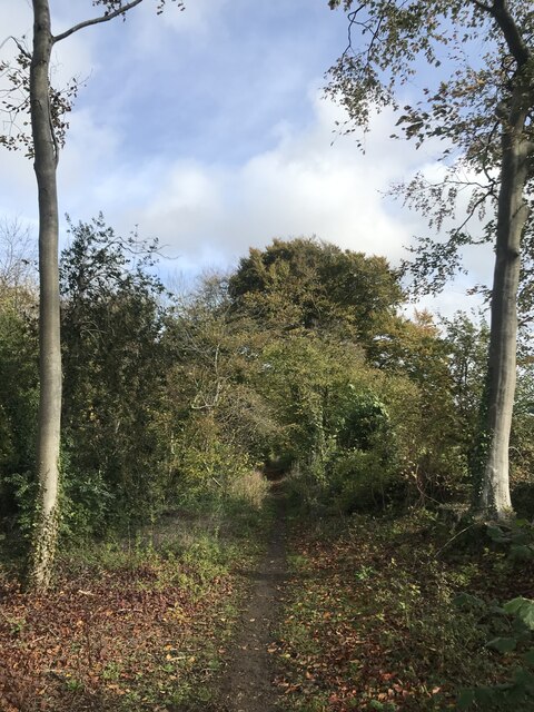
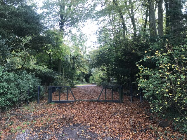
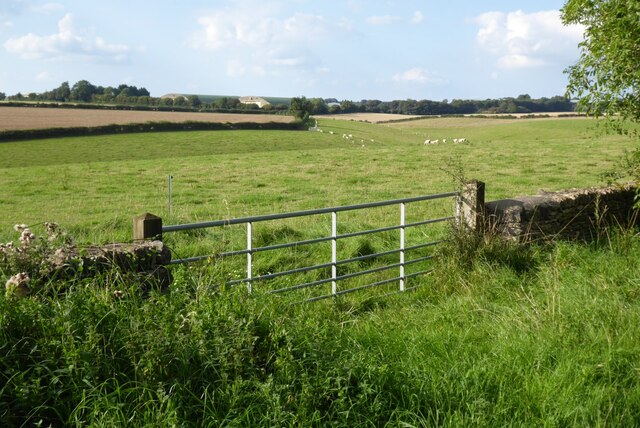
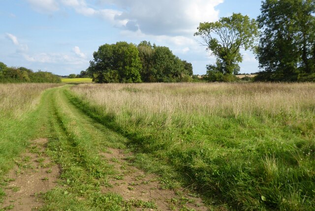
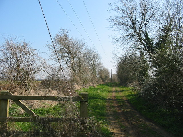
Surrounded by rolling hills and meandering streams, Cherington offers plenty of opportunities for outdoor activities. The area is popular for walking, cycling, and horse riding, with many scenic trails and bridleways to explore. The nearby River Avon also provides opportunities for fishing and boating.
Overall, Cherington is a charming and peaceful village, perfect for those seeking a tranquil retreat in the heart of the English countryside.
If you have any feedback on the listing, please let us know in the comments section below.
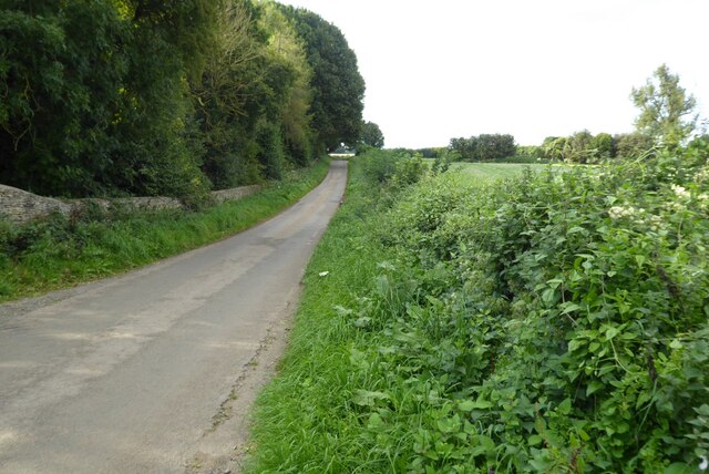
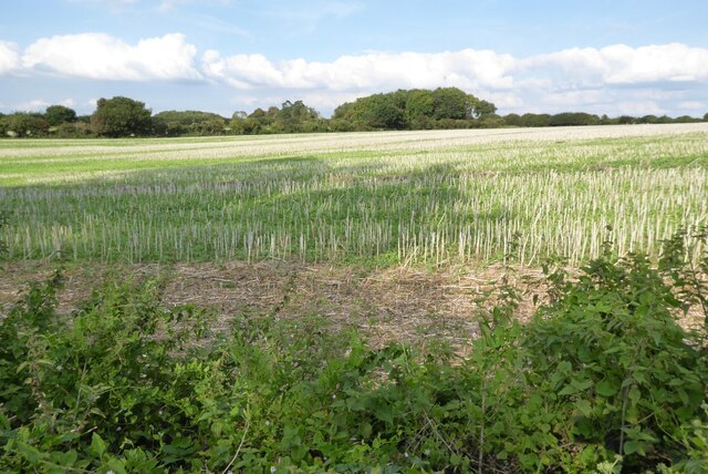
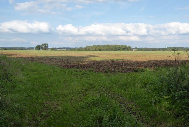
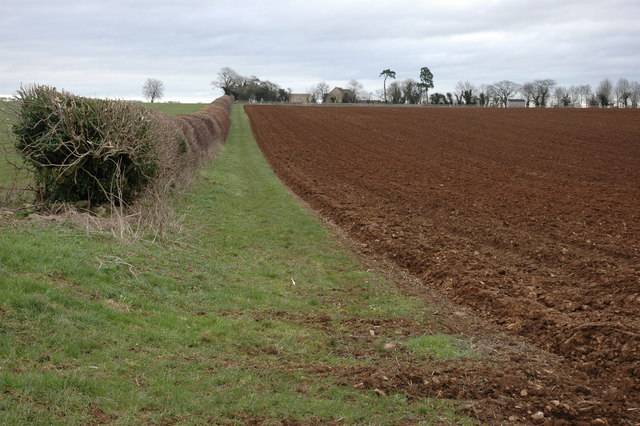
Cherington Images
Images are sourced within 2km of 51.686693/-2.141095 or Grid Reference ST9098. Thanks to Geograph Open Source API. All images are credited.


Cherington is located at Grid Ref: ST9098 (Lat: 51.686693, Lng: -2.141095)
Administrative County: Gloucestershire
District: Cotswold
Police Authority: Gloucestershire
What 3 Words
///nightcap.fashion.roughest. Near Avening, Gloucestershire
Nearby Locations
Related Wikis

Cherington, Gloucestershire
Cherington is a village and civil parish in the Cotswold District of Gloucestershire, England. It lies under 3 miles south east of Minchinhampton and 4...
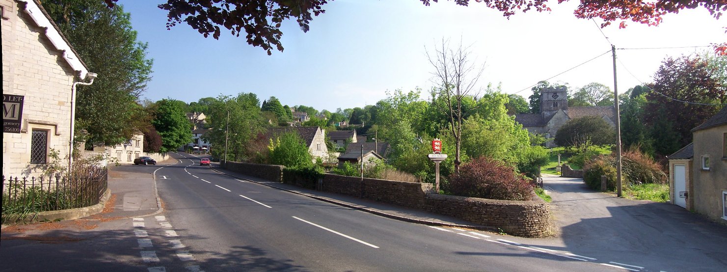
Avening
Avening () is a village and civil parish in the Cotswold district of Gloucestershire, England, about three miles (5 km) north of Tetbury. According to...
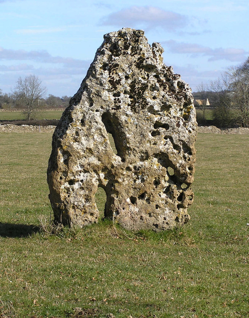
Longstone of Minchinhampton
The Longstone of Minchinhampton (grid reference ST884998) is a standing stone on Minchinhampton Common, Minchinhampton in Gloucestershire, England. The...

Gatcombe Park
Gatcombe Park is a country house between the villages of Minchinhampton (to which it belongs) and Avening in Gloucestershire, England. Originally constructed...
Nearby Amenities
Located within 500m of 51.686693,-2.141095Have you been to Cherington?
Leave your review of Cherington below (or comments, questions and feedback).