Gatherley Wood
Wood, Forest in Devon West Devon
England
Gatherley Wood

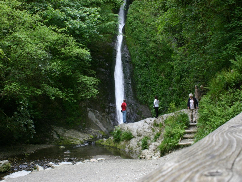
Gatherley Wood is a picturesque woodland located in Devon, England. Covering an area of approximately 50 acres, this ancient forest is a popular destination for nature lovers and outdoor enthusiasts. The wood is home to a diverse range of tree species, including oak, beech, and birch, which provide a habitat for a variety of wildlife such as deer, squirrels, and a multitude of bird species.
Visitors to Gatherley Wood can explore the network of winding trails that meander through the forest, offering opportunities for peaceful walks and wildlife spotting. The tranquil atmosphere of the wood makes it an ideal place for nature enthusiasts to escape the hustle and bustle of everyday life and immerse themselves in the beauty of the natural world.
In addition to its natural beauty, Gatherley Wood also holds historical significance, with remnants of ancient settlements and archaeological sites scattered throughout the forest. This adds an extra layer of intrigue for those interested in the history of the area.
Overall, Gatherley Wood is a tranquil and enchanting woodland that offers a peaceful retreat for visitors looking to connect with nature and explore the beauty of the Devon countryside.
If you have any feedback on the listing, please let us know in the comments section below.
Gatherley Wood Images
Images are sourced within 2km of 50.630479/-4.2931475 or Grid Reference SX3783. Thanks to Geograph Open Source API. All images are credited.


Gatherley Wood is located at Grid Ref: SX3783 (Lat: 50.630479, Lng: -4.2931475)
Administrative County: Devon
District: West Devon
Police Authority: Devon and Cornwall
What 3 Words
///camcorder.officers.extreme. Near Lifton, Devon
Nearby Locations
Related Wikis
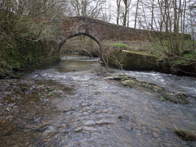
River Lyd, Devon
The Lyd is a river rising at Lyd Head (Corn Ridge in NW Dartmoor) in the Dartmoor national park in Devon in South West England and flowing into the River...
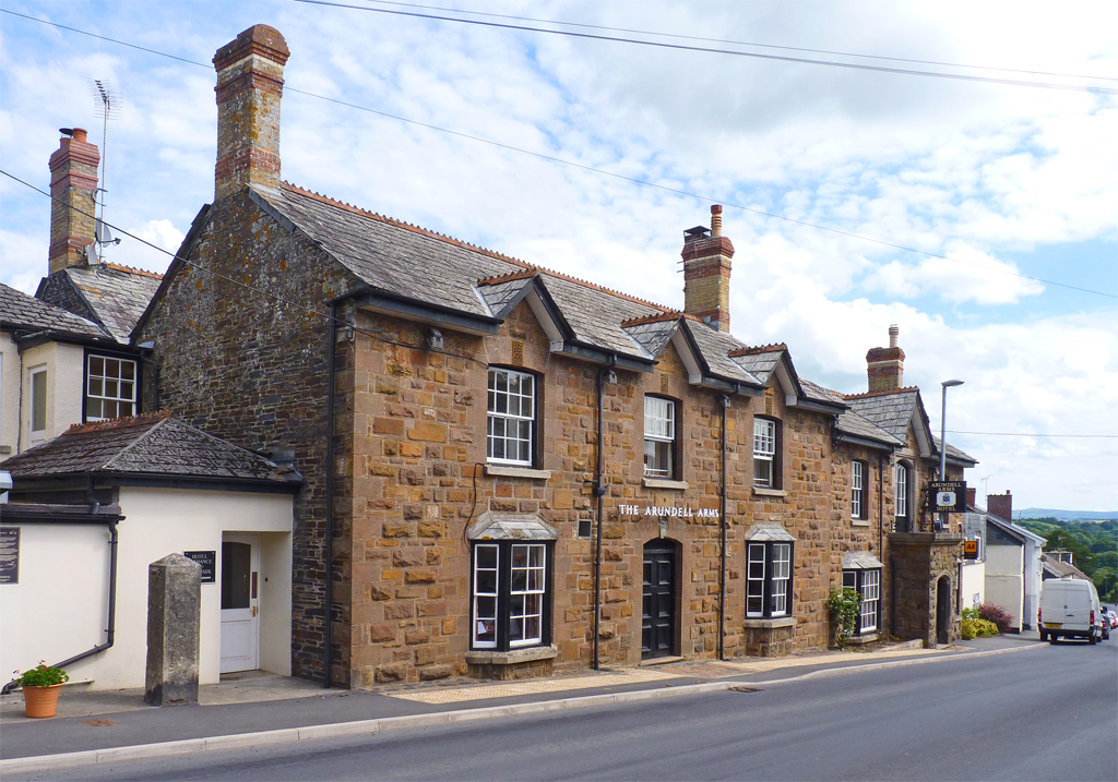
Lifton, Devon
Lifton is a village and civil parish in Devon, South West England near the confluence of the rivers Wolf and Lyd, 1¼ miles south of the A30 trunk road...
River Thrushel
The River Thrushel is a river in Devon, England. The Thrushel runs westerly from its source near Meldon to Tinhay, where it joins the River Wolf. The river...
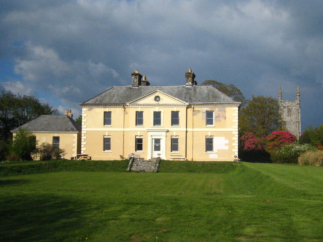
Kelly House, Devon
Kelly House is a Grade I listed country house and estate located in the village of Kelly, in Devon, England. The estate has been the property of the Kelly...
Nearby Amenities
Located within 500m of 50.630479,-4.2931475Have you been to Gatherley Wood?
Leave your review of Gatherley Wood below (or comments, questions and feedback).