An Gleann Ur

Settlement in Ross-shire

Scotland

An Gleann Ur

Loch Àirigh na Lic With the remains of a crannog just breaking the water to the left, and a quarry across the water
Loch Àirigh na Lic Credit: M J Richardson

An Gleann Ur, also known as Achnasheen, is a small village located in the Ross-shire region of the Scottish Highlands. Situated on the A832 road, it lies approximately 20 miles west of Inverness and 10 miles east of Lochcarron. The village is nestled in the picturesque Glen Docherty, surrounded by stunning mountain ranges and lush greenery.

This charming village offers visitors a true taste of rural Scotland. Its peaceful and idyllic setting makes it a popular destination for outdoor enthusiasts and nature lovers. The surrounding countryside provides ample opportunities for hiking, cycling, and wildlife spotting, with trails leading to nearby Munros such as Slioch and Beinn Liath Mhor.

Despite its small size, An Gleann Ur has a few amenities to cater to residents and visitors. The village has a general store, a post office, and a café, where locals and tourists can enjoy a warm cup of tea or coffee. There is also a hotel that provides accommodation for those wishing to stay in the area.

An Gleann Ur offers a gateway to the beauty of the Highlands. Nearby attractions include the picturesque Loch Maree, the stunning Beinn Eighe Nature Reserve, and the enchanting Fairy Lochs. The village's proximity to the North Coast 500 route, one of Scotland's most scenic driving routes, makes it a convenient stop for travelers exploring this spectacular region.

Overall, An Gleann Ur is a tranquil and captivating village that showcases the natural beauty and charm of the Scottish Highlands.

If you have any feedback on the listing, please let us know in the comments section below.
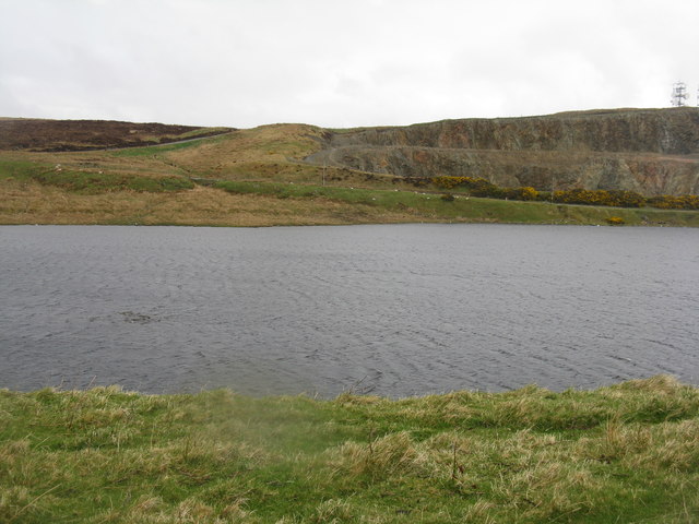
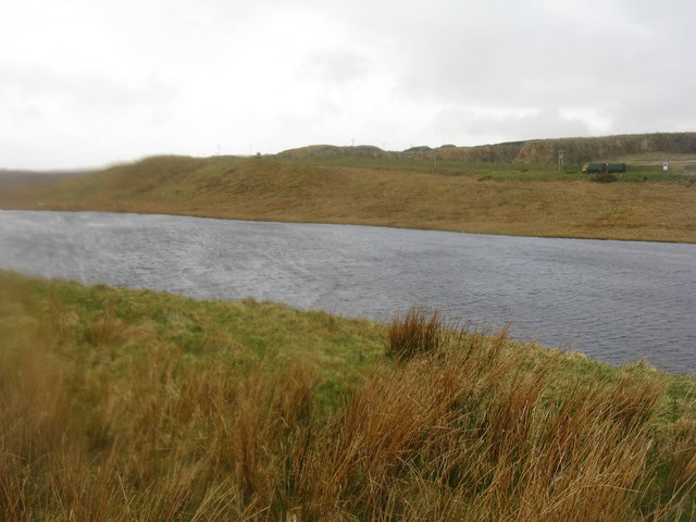
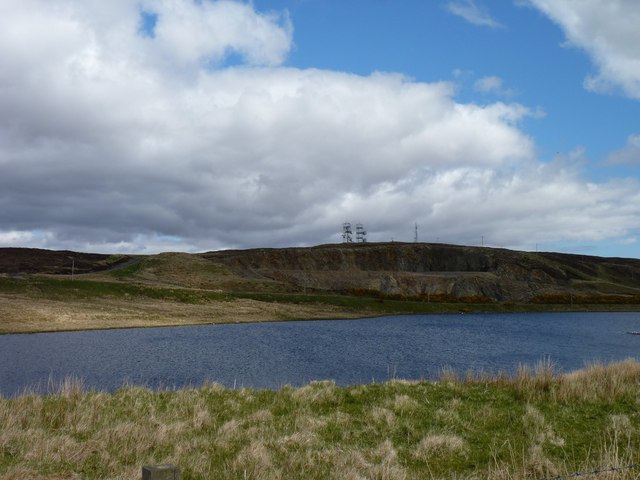
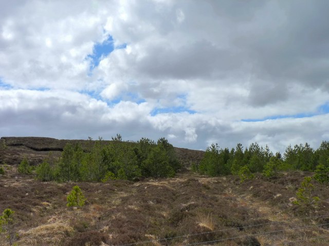
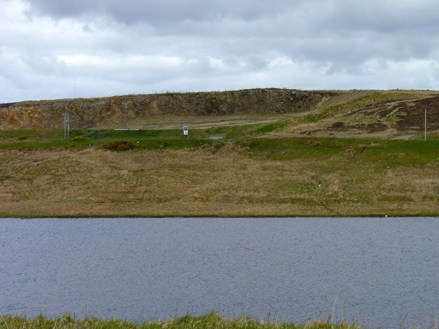
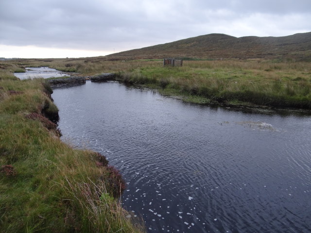
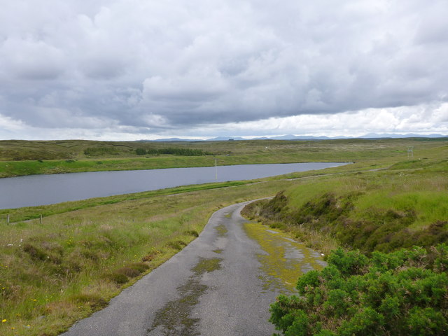
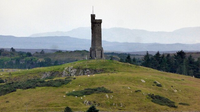
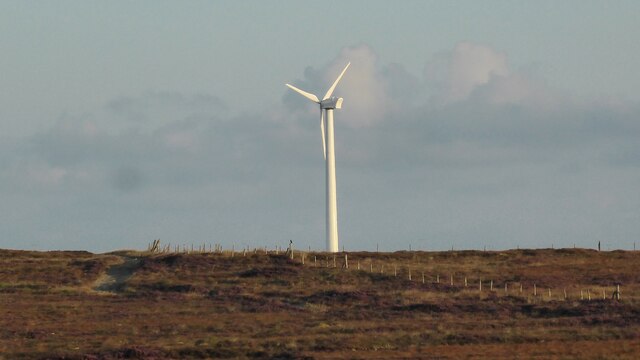
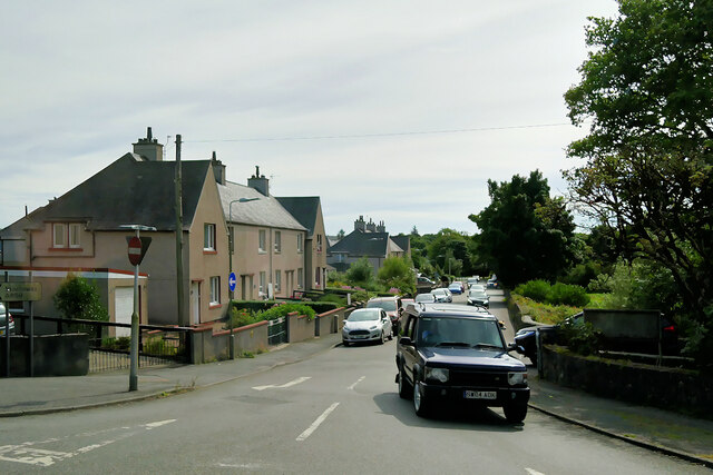
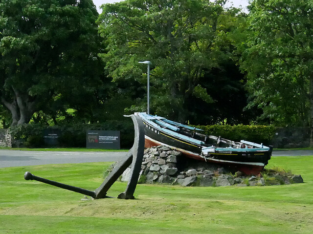
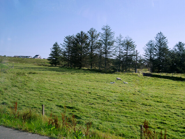
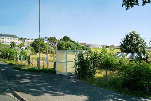
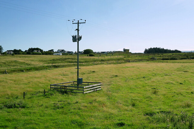
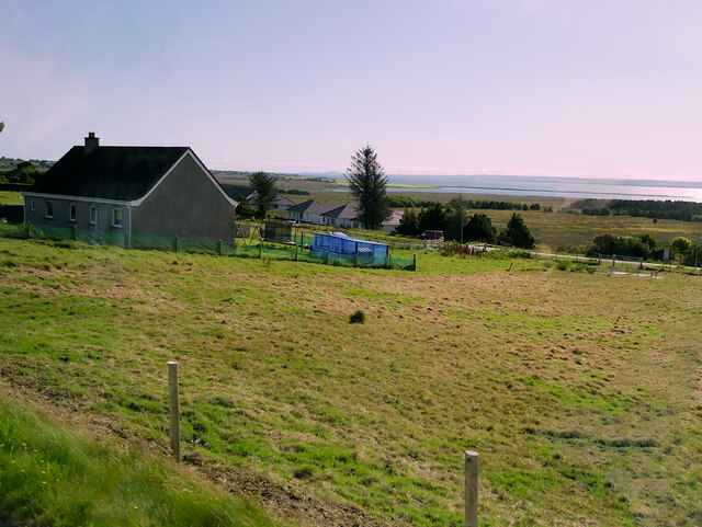
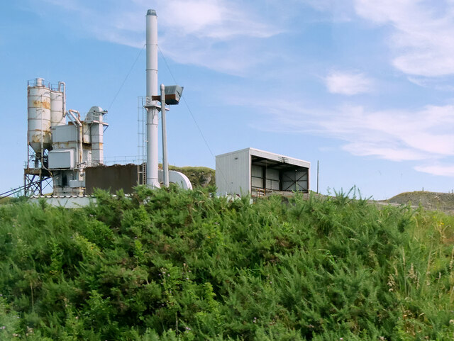
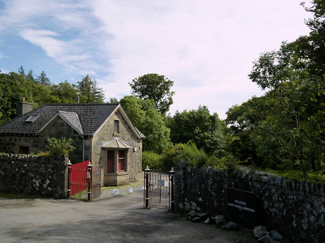
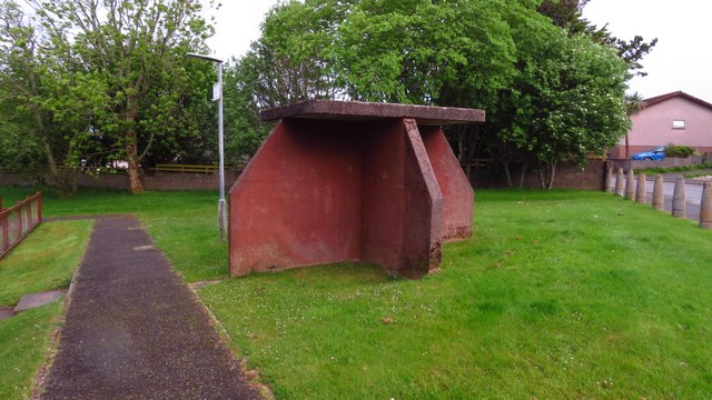
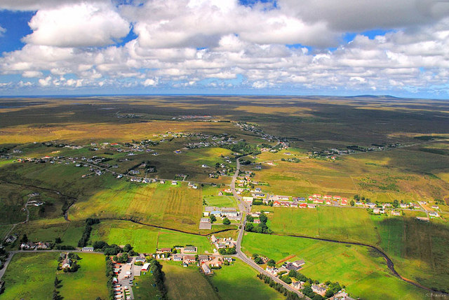
An Gleann Ur Images

Images are sourced within 2km of 58.227334/-6.4132098 or Grid Reference NB4135. Thanks to Geograph Open Source API. All images are credited.

Loch Àirigh na Lic With the remains of a crannog just breaking the water to the left, and a quarry across the water
Loch Àirigh na Lic
With the remains of a crannog just breaking the water to the left, and a quarry across the water
Loch Àirigh na Lic Looking west along Abhainn a' Ghlinn Mhòir.
Loch Àirigh na Lic
Looking west along Abhainn a' Ghlinn Mhòir.
Southern shore of Loch Airigh na Lic With a quarry face and WT station beyond the loch.
Southern shore of Loch Airigh na Lic
With a quarry face and WT station beyond the loch.
Surviving trees Very few trees manage to survive on the moorland alongside the Pentland Road, but these are some of them.
Surviving trees
Very few trees manage to survive on the moorland alongside the Pentland Road, but these are some of them.
Quarry across the water The quarry on the north side of Loch Àirigh na Lic.
Quarry across the water
The quarry on the north side of Loch Àirigh na Lic.
"Ford" on Abhainn Lacasdail at Hogaraid The ford is unsuitable for a Ford car, but a motorcycle or a large leap of faith will get you across to the other side.
"Ford" on Abhainn Lacasdail at Hogaraid
The ford is unsuitable for a Ford car, but a motorcycle or a large leap of faith will get you across to the other side.
The road down from the WT Station The view over Loch Àirigh na Lic.
The road down from the WT Station
The view over Loch Àirigh na Lic.
Isle of Lewis War Memorial
Solitary Wind Turbine near Stornoway
Stornoway, Willowglen Road
Boat and Anchor A typical 1940/50s West Coast fishing boat, Scalpay, now featured as one of the ornamental displays around Stornoway.
Boat and Anchor
A typical 1940/50s West Coast fishing boat, Scalpay, now featured as one of the ornamental displays around Stornoway.
Sheep Grazing in a Field near Lacasdal
Lacasdal Bus Stop
Lacasdal Bus Stop
Laxdale
Laxdale
House at Newmarket
House at Newmarket
Marybank Quarry
Marybank Quarry
Lews Castle, Marybank Lodge and Gateway Mid-nineteenth century gate and gatehouse to Lews Castle. Category C listed building (LB18817 <span class="nowrap"><a title="https://portal.historicenvironment.scot/designation/LB18817" rel="nofollow ugc noopener" href="https://portal.historicenvironment.scot/designation/LB18817">Link</a><img style="margin-left:2px;" alt="External link" title="External link - shift click to open in new window" src="https://s1.geograph.org.uk/img/external.png" width="10" height="10"/></span> Historic Environment Scotland).
Lews Castle, Marybank Lodge and Gateway
Mid-nineteenth century gate and gatehouse to Lews Castle. Category C listed building (LB18817 LinkExternal link Historic Environment Scotland).
Isle of Lewis Bus Shelter, Long Lane, Stornoway These shelters seem to be unique to Lewis. They are solid concrete bus shelters, and which ever way the wind and rain is blowing you can find shelter  in one of the four alcoves. They were built to withstand all weathers. the only problem I can see is that if you are stood in one of the alcoves, the bus driver might not see you.
Isle of Lewis Bus Shelter, Long Lane, Stornoway
These shelters seem to be unique to Lewis. They are solid concrete bus shelters, and which ever way the wind and rain is blowing you can find shelter in one of the four alcoves. They were built to withstand all weathers. the only problem I can see is that if you are stood in one of the alcoves, the bus driver might not see you.
Show me another place!

An Gleann Ur is located at Grid Ref: NB4135 (Lat: 58.227334, Lng: -6.4132098)

Unitary Authority: Na h-Eileanan an Iar

Police Authority: Highlands and Islands

What 3 Words

///journey.serenade.homes. Near Stornoway, Na h-Eileanan Siar

Related Wikis

Newvalley, Lewis

Newvalley (Scottish Gaelic: An Gleann Ùr) is a hamlet on the Isle of Lewis in the Outer Hebrides, Scotland. Newvalley is within the parish of Stornoway...

Lewis War Memorial

The Lewis War Memorial is a war memorial dedicated to the men from the Lewis area (Outer Hebrides, Scotland) who lost their lives in World War I and those...

Marybank, Lewis

Marybank (Scottish Gaelic: Bruach Màiri, IPA:[ˈpɾuəxˈmaːɾʲɪ]) is a settlement on the outskirts of Stornoway, Isle of Lewis in the Outer Hebrides of Scotland...

Laxdale

Laxdale (Scottish Gaelic: Lacasdal) is a village in the Scottish Outer Hebrides, on the Isle of Lewis. Although nominally a distinct village, Laxdale is...

Newmarket, Lewis

Newmarket (; Scottish Gaelic: An Margaidh Ùr [ən̪ˠ ˈmaɾakaj ˈuːɾ]) is a village in the Outer Hebrides of Scotland, on the Isle of Lewis near Stornoway...

Lews Castle College

UHI North, West, and Hebrides (formerly UHI Outer Hebrides and Lews Castle College (Scottish Gaelic: Colaisde a' Chaisteil [ˈkʰɔl̪ˠɪʃtʲə ə ˈkʰaʃtʰal],...

Western Isles Hospital

The Western Isles Hospital (Scottish Gaelic: Ospadal nan Eilean Siar) is a rural general hospital in Stornoway on Lewis in the Western Isles of Scotland...

Lews Castle

Lews Castle (Scottish Gaelic: Caisteal Leòdhais) is a Victorian era castle located west of the town of Stornoway, Isle of Lewis, Scotland. It was built...

Nearby Amenities

Located within 500m of 58.227334,-6.4132098
An Gleann Ùr
Name En: Newvalley
Name Gd: An Gleann Ùr
Place: hamlet
Wikidata: Q13156862
Wikipedia: en:Newvalley, Lewis
Lat/Long: 58.2285611/-6.4075985
Passing Place
Lat/Long: 58.2278674/-6.4055094
Passing Place
Lat/Long: 58.2276217/-6.4112762
Passing Place
Lat/Long: 58.2275736/-6.4142668
Power: pole
Lat/Long: 58.2233161/-6.4113132
Power: pole
Lat/Long: 58.223628/-6.4113795
Power: pole
Lat/Long: 58.2241898/-6.4114926
Power: pole
Lat/Long: 58.2239931/-6.4170874
Power: pole
Lat/Long: 58.224209/-6.4157888
Power: pole
Lat/Long: 58.2244622/-6.4144536
Power: pole
Lat/Long: 58.2244889/-6.4131593
Power: pole
Lat/Long: 58.2245044/-6.4118515
Power: pole
Lat/Long: 58.2250751/-6.4101283
Power: pole
Lat/Long: 58.2257005/-6.4083772
Power: pole
Lat/Long: 58.2259949/-6.4071287
Power: pole
Lat/Long: 58.2266917/-6.4078379
Power: pole
Lat/Long: 58.2274874/-6.408712
Power: pole
Lat/Long: 58.2280316/-6.4092458
Barrier: cattle_grid
Lat/Long: 58.2278713/-6.4093413
Barrier: cattle_grid
Lat/Long: 58.2232516/-6.4147109
Power: pole
Lat/Long: 58.2263261/-6.4056383
Barrier: cattle_grid
Lat/Long: 58.2252833/-6.4056399
The data included in this document is from www.openstreetmap.org. The data is made available under ODbL.

Have you been to An Gleann Ur?

Leave your review of An Gleann Ur below (or comments, questions and feedback).