Bramble Wood

Wood, Forest in Cornwall

England

Bramble Wood

St Odolphus's Church
St Odolphus's Church Credit: Paul Barnett

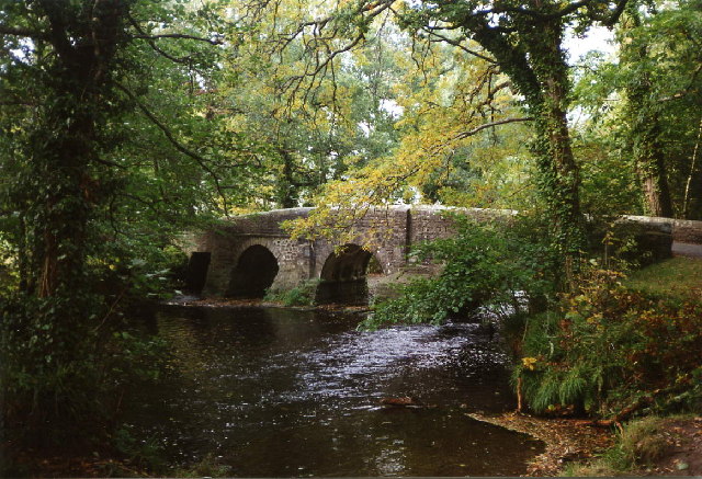
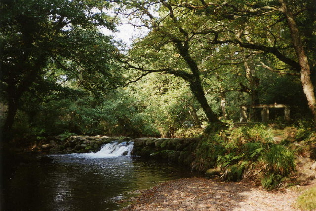
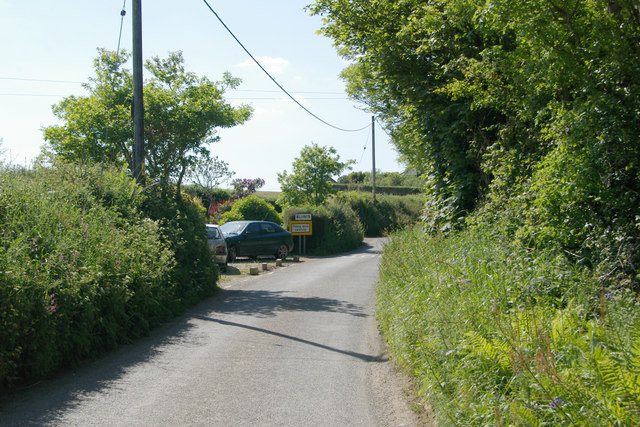
Bramble Wood is a picturesque forest located in Cornwall, a county in the southwestern region of England. Covering an expansive area, the wood is renowned for its natural beauty and diverse wildlife.

The forest is characterized by its dense vegetation, primarily consisting of a variety of trees, including oak, beech, and ash. These towering trees create a dense canopy, providing shelter and shade to the woodland floor below. Throughout the wood, an abundance of brambles, wildflowers, and ferns can be found, adding splashes of color to the landscape.

Bramble Wood is home to a rich and diverse ecosystem. Numerous species of birds, including woodpeckers, owls, and songbirds, can be spotted amidst the treetops, their melodic calls filling the air. Squirrels, badgers, and foxes are among the many mammals that inhabit the forest, while the occasional deer can be seen grazing in open clearings.

The wood also boasts a network of walking trails, allowing visitors to explore and immerse themselves in its stunning natural surroundings. These paths wind through the forest, offering glimpses of tranquil ponds, babbling brooks, and hidden glades along the way.

Bramble Wood offers a serene escape for nature enthusiasts and provides a sanctuary for the region's diverse wildlife. Its beauty and tranquility make it a popular destination for hikers, nature lovers, and those seeking a peaceful retreat amidst Cornwall's natural wonders.

If you have any feedback on the listing, please let us know in the comments section below.
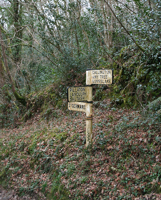
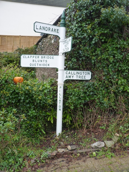
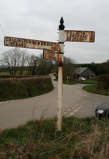
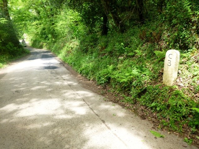
Bramble Wood Images

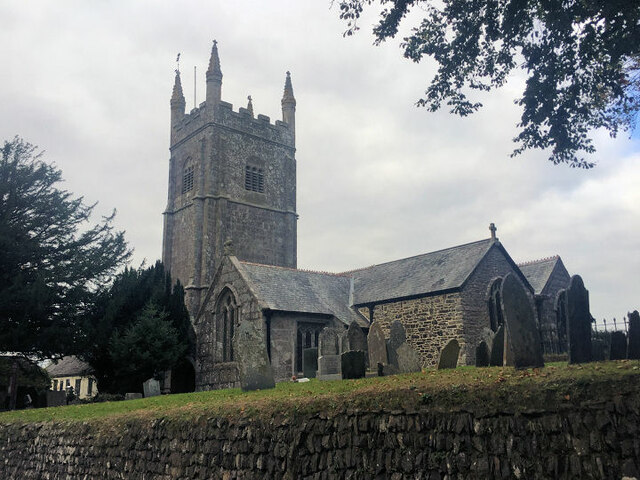
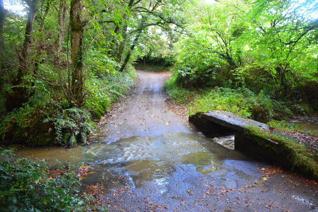
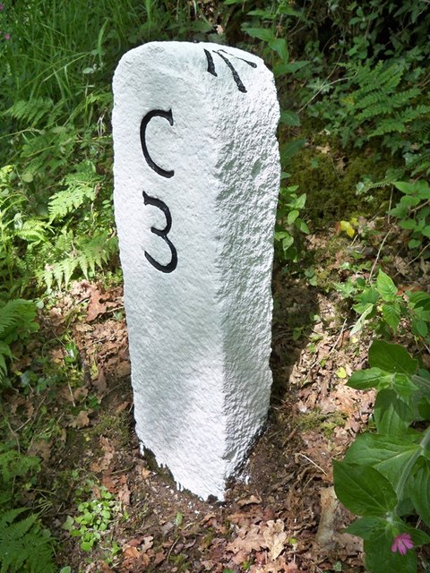
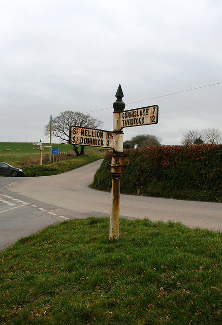
Images are sourced within 2km of 50.465981/-4.3203789 or Grid Reference SX3565. Thanks to Geograph Open Source API. All images are credited.

St Odolphus's Church
Crift Ford This ford is found at Lower Crift.
Crift Ford
This ford is found at Lower Crift.
Old Milestone north east of Clapper Bridge Carved stone post by the UC road, in parish of ST MELLION (CARADON District), Freeres Farm, Bramble Wood, South of T-junction, high on verge, clear of bank, on North side of road. Callington C tombstone, erected by the Callington turnpike trust in the 18th century. 

Inscription reads:-
C
3 
Carved benchmark and rivet on top.

Grade II Listed. List Entry Number: 1392534
<span class="nowrap"><a title="https://historicengland.org.uk/listing/the-list/list-entry/1392534" rel="nofollow ugc noopener" href="https://historicengland.org.uk/listing/the-list/list-entry/1392534">Link</a><img style="margin-left:2px;" alt="External link" title="External link - shift click to open in new window" src="https://s1.geograph.org.uk/img/external.png" width="10" height="10"/></span>

Milestone Society National ID: CW_CLSG03.
Old Milestone north east of Clapper Bridge
Carved stone post by the UC road, in parish of ST MELLION (CARADON District), Freeres Farm, Bramble Wood, South of T-junction, high on verge, clear of bank, on North side of road. Callington C tombstone, erected by the Callington turnpike trust in the 18th century. Inscription reads:- C 3 Carved benchmark and rivet on top. Grade II Listed. List Entry Number: 1392534 LinkExternal link Milestone Society National ID: CW_CLSG03.
Old Direction Sign - Signpost by Amy Tree, St Mellion Pyramid finial - 2 arms; Cornwall by the UC road, in parish of St Mellion (Caradon District), Amy Tree, where six lanes meet, Axford Hill. Signpost CW_SX3666A is visible across the junction: <a href="https://www.geograph.org.uk/photo/6072083">SX3666 : Old Direction Sign - Signpost by Amy Tree, St Mellion</a>

Surveyed

Milestone Society National ID: CW_SX3666B
Old Direction Sign - Signpost by Amy Tree, St Mellion
Pyramid finial - 2 arms; Cornwall by the UC road, in parish of St Mellion (Caradon District), Amy Tree, where six lanes meet, Axford Hill. Signpost CW_SX3666A is visible across the junction: SX3666 : Old Direction Sign - Signpost by Amy Tree, St Mellion Surveyed Milestone Society National ID: CW_SX3666B
Old Direction Sign - Signpost Missing finial - Visick cone by the UC road, in parish of St Mellion (Caradon District), above Clapper Bridge (North bank), at UC road junction, in bank, East of milestone: CW_CLSG03 <a href="https://www.geograph.org.uk/photo/5623256">SX3565 : Old Milestone north east of Clapper Bridge</a>

Surveyed

Milestone Society National ID: CW_SX3565
Old Direction Sign - Signpost
Missing finial - Visick cone by the UC road, in parish of St Mellion (Caradon District), above Clapper Bridge (North bank), at UC road junction, in bank, East of milestone: CW_CLSG03 SX3565 : Old Milestone north east of Clapper Bridge Surveyed Milestone Society National ID: CW_SX3565
Old Direction Sign - Signpost in Pillaton Raised finial - by the UC road, in parish of Pillaton (Caradon District), Pillaton village centre, on corner opposite The Weary Friar Hotel.

Cornwall and Scilly HER.
HER Number: MCO56953 <span class="nowrap"><a title="https://www.heritagegateway.org.uk/Gateway/Results_Single.aspx?uid=MCO56953&resourceID=1020" rel="nofollow ugc noopener" href="https://www.heritagegateway.org.uk/Gateway/Results_Single.aspx?uid=MCO56953&resourceID=1020">Link</a><img style="margin-left:2px;" alt="External link" title="External link - shift click to open in new window" src="https://s1.geograph.org.uk/img/external.png" width="10" height="10"/></span>

To be surveyed

Milestone Society National ID: CW_SX3664
Old Direction Sign - Signpost in Pillaton
Raised finial - by the UC road, in parish of Pillaton (Caradon District), Pillaton village centre, on corner opposite The Weary Friar Hotel. Cornwall and Scilly HER. HER Number: MCO56953 LinkExternal link To be surveyed Milestone Society National ID: CW_SX3664
Old Direction Sign - Signpost by Amy Tree, St Mellion Pyramid finial - 3 arms; Cornwall by the UC road, in parish of St Mellion (Caradon District), Amy Tree, where six lanes meet. Signpost CW_SX3666B is visible across the junction: <a href="https://www.geograph.org.uk/photo/6048299">SX3666 : Old Direction Sign - Signpost by Amy Tree, St Mellion</a>

Cornwall & Scilly HER.
HER Number: MCO56951 <span class="nowrap"><a title="https://www.heritagegateway.org.uk/Gateway/Results_Single.aspx?uid=MCO56951&resourceID=1020" rel="nofollow ugc noopener" href="https://www.heritagegateway.org.uk/Gateway/Results_Single.aspx?uid=MCO56951&resourceID=1020">Link</a><img style="margin-left:2px;" alt="External link" title="External link - shift click to open in new window" src="https://s1.geograph.org.uk/img/external.png" width="10" height="10"/></span>

Surveyed

Milestone Society National ID: CW_SX3666A
Old Direction Sign - Signpost by Amy Tree, St Mellion
Pyramid finial - 3 arms; Cornwall by the UC road, in parish of St Mellion (Caradon District), Amy Tree, where six lanes meet. Signpost CW_SX3666B is visible across the junction: SX3666 : Old Direction Sign - Signpost by Amy Tree, St Mellion Cornwall & Scilly HER. HER Number: MCO56951 LinkExternal link Surveyed Milestone Society National ID: CW_SX3666A
Old Milestone south of Newton Ferrers, by Bramble Wood Carved stone post by the UC road, in parish of ST MELLION (CARADON District), Freeres Farm, Bramble Wood, South of T-junction, high on verge, clear of bank, on North side of road. Callington 'C' tombstone, erected by the Callington turnpike trust in the 18th century. 

Inscription reads:-
C
3 
Carved benchmark and rivet on top.

Grade II listed. 
List Entry Number: 1392534 <span class="nowrap"><a title="https://historicengland.org.uk/listing/the-list/list-entry/1392534" rel="nofollow ugc noopener" href="https://historicengland.org.uk/listing/the-list/list-entry/1392534">Link</a><img style="margin-left:2px;" alt="External link" title="External link - shift click to open in new window" src="https://s1.geograph.org.uk/img/external.png" width="10" height="10"/></span>

Milestone Society National ID: CW_CLSG03
Old Milestone south of Newton Ferrers, by Bramble Wood
Carved stone post by the UC road, in parish of ST MELLION (CARADON District), Freeres Farm, Bramble Wood, South of T-junction, high on verge, clear of bank, on North side of road. Callington 'C' tombstone, erected by the Callington turnpike trust in the 18th century. Inscription reads:- C 3 Carved benchmark and rivet on top. Grade II listed. List Entry Number: 1392534 LinkExternal link Milestone Society National ID: CW_CLSG03
St Mellion: Clapper Bridge A crossing of the river Lynher
St Mellion: Clapper Bridge
A crossing of the river Lynher
St Mellion: Pillaton Mill Weir A weir on the river Lynher which fed the 1.5 mile long leat to Pillaton Mill
St Mellion: Pillaton Mill Weir
A weir on the river Lynher which fed the 1.5 mile long leat to Pillaton Mill
St Odolphus' Church and Weary Friar Hotel The 'Weary Friar' - believed to have been a resting place for monks building the church. The church dates back to mid 13th century.
St Odolphus' Church and Weary Friar Hotel
The 'Weary Friar' - believed to have been a resting place for monks building the church. The church dates back to mid 13th century.
Farm lane near Amytree A pheasant just running into the field gate.
Farm lane near Amytree
A pheasant just running into the field gate.
Across the Rainy Valley It's raining - hard.  Without this stuff however the grass wouldn't grow.  The house on the other side of the valley which you can just see through the rain is  Greenswell Farm
Across the Rainy Valley
It's raining - hard. Without this stuff however the grass wouldn't grow. The house on the other side of the valley which you can just see through the rain is Greenswell Farm
Road Junction at Amy Tree No less than 6 minor roads join here in a complex junction.  This is at the head of a steep valley which runs south from here.  There is no other east-west route for some distance to the south.  Taken in the middle of a heavy rain shower.
Road Junction at Amy Tree
No less than 6 minor roads join here in a complex junction. This is at the head of a steep valley which runs south from here. There is no other east-west route for some distance to the south. Taken in the middle of a heavy rain shower.
Bare Trees, Green Pasture
Valley near Bealbury This land is all cattle pasture.  Farms in this area rely heavily on being able to sell milk at a worthwhile price.
Valley near Bealbury
This land is all cattle pasture. Farms in this area rely heavily on being able to sell milk at a worthwhile price.
Houses on the hill The minor road descends steeply here past one or two houses into the wooded Lynher valley.
Houses on the hill
The minor road descends steeply here past one or two houses into the wooded Lynher valley.
Road, Hedge and Pasture To the west of the steep Lynher valley the landscape reverts to the pasture more typical of east Cornwall.
Road, Hedge and Pasture
To the west of the steep Lynher valley the landscape reverts to the pasture more typical of east Cornwall.
Show me another place!

Bramble Wood is located at Grid Ref: SX3565 (Lat: 50.465981, Lng: -4.3203789)

Unitary Authority: Cornwall

Police Authority: Devon and Cornwall

What 3 Words

///momentous.finishing.backpacks. Near Pillaton, Cornwall

Related Wikis

Pillaton

Pillaton (Cornish: Trebeulyow) is a village and civil parish in south east Cornwall, England, United Kingdom. The parish extends to approximately 4.6 square...

Cadson Bury

Cadson Bury is an Iron Age hillfort about 2 miles (3.2 km) south-west of Callington, in Cornwall, England. It is owned by the National Trust, and it is...

Bealbury

Bealbury is a hamlet in St Mellion civil parish in east Cornwall, England, United Kingdom. It is two miles south of Callington. == References ==

Blunts, Cornwall

Blunts (Cornish: Shoppa Blunt) is a hamlet southeast of Quethiock in the civil parish of Quethiock in east Cornwall, England, United Kingdom. It is situated...

Have you been to Bramble Wood?

Leave your review of Bramble Wood below (or comments, questions and feedback).