Hatter's Wood
Wood, Forest in Cornwall
England
Hatter's Wood
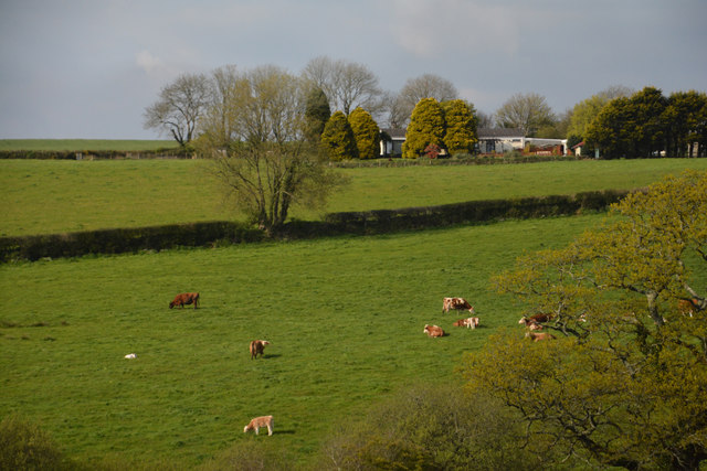
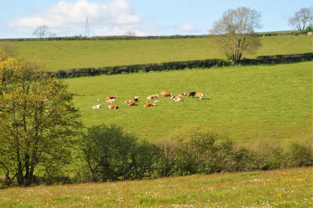
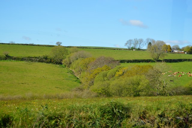
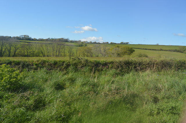
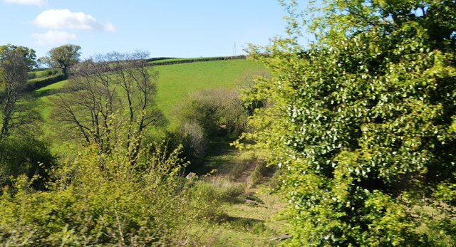
Hatter's Wood is a beautiful woodland area located in Cornwall, England. This ancient forest is known for its dense canopy of oak, beech, and ash trees, creating a lush and verdant environment that is teeming with wildlife. The woodland floor is carpeted with ferns, mosses, and wildflowers, adding to the enchanting atmosphere of the forest.
Hatter's Wood is a popular destination for nature lovers, hikers, and birdwatchers, as it offers a peaceful retreat from the hustle and bustle of everyday life. The forest is home to a variety of bird species, including woodpeckers, owls, and warblers, making it a prime spot for birdwatching enthusiasts.
Visitors to Hatter's Wood can explore the network of winding trails that meander through the forest, allowing them to immerse themselves in the natural beauty of the surroundings. The wood is also home to a variety of plant species, including bluebells, primroses, and orchids, which bloom in abundance during the spring and summer months.
Overall, Hatter's Wood is a tranquil and picturesque woodland area that offers a peaceful escape into nature for visitors of all ages to enjoy.
If you have any feedback on the listing, please let us know in the comments section below.
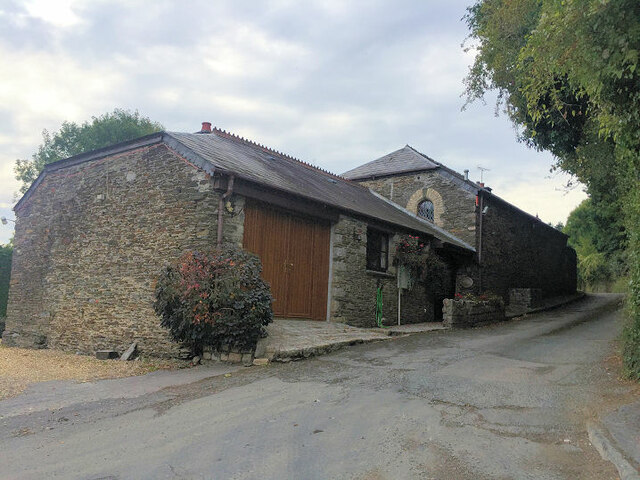
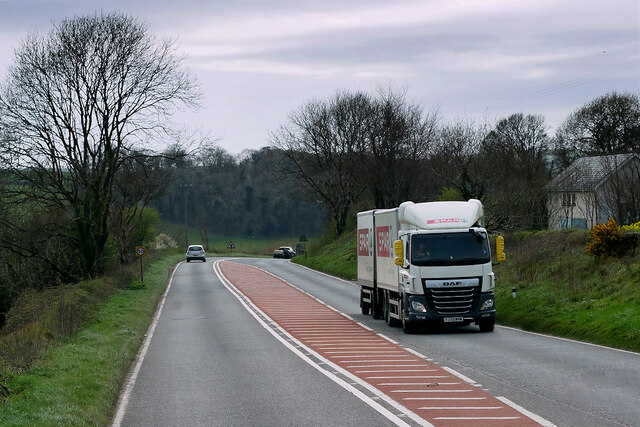
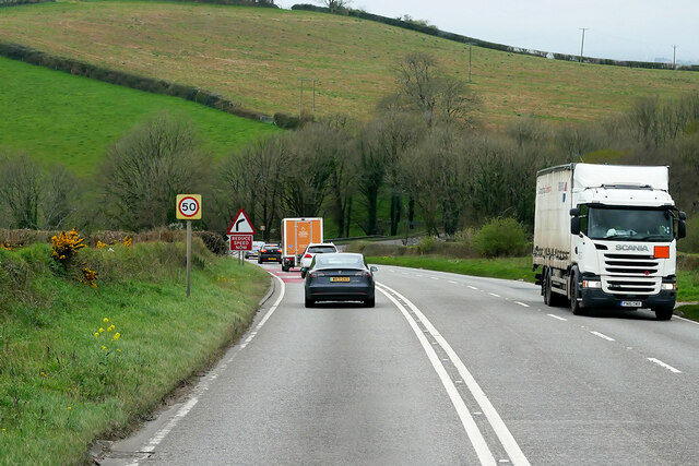
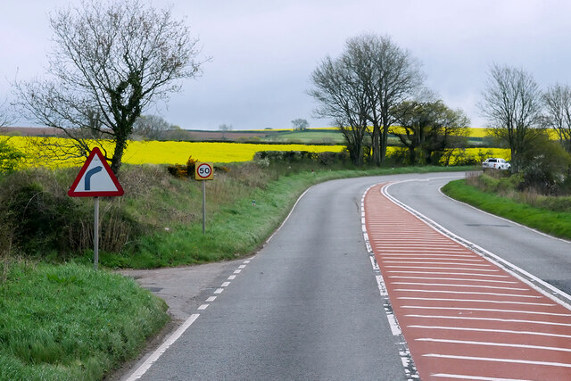
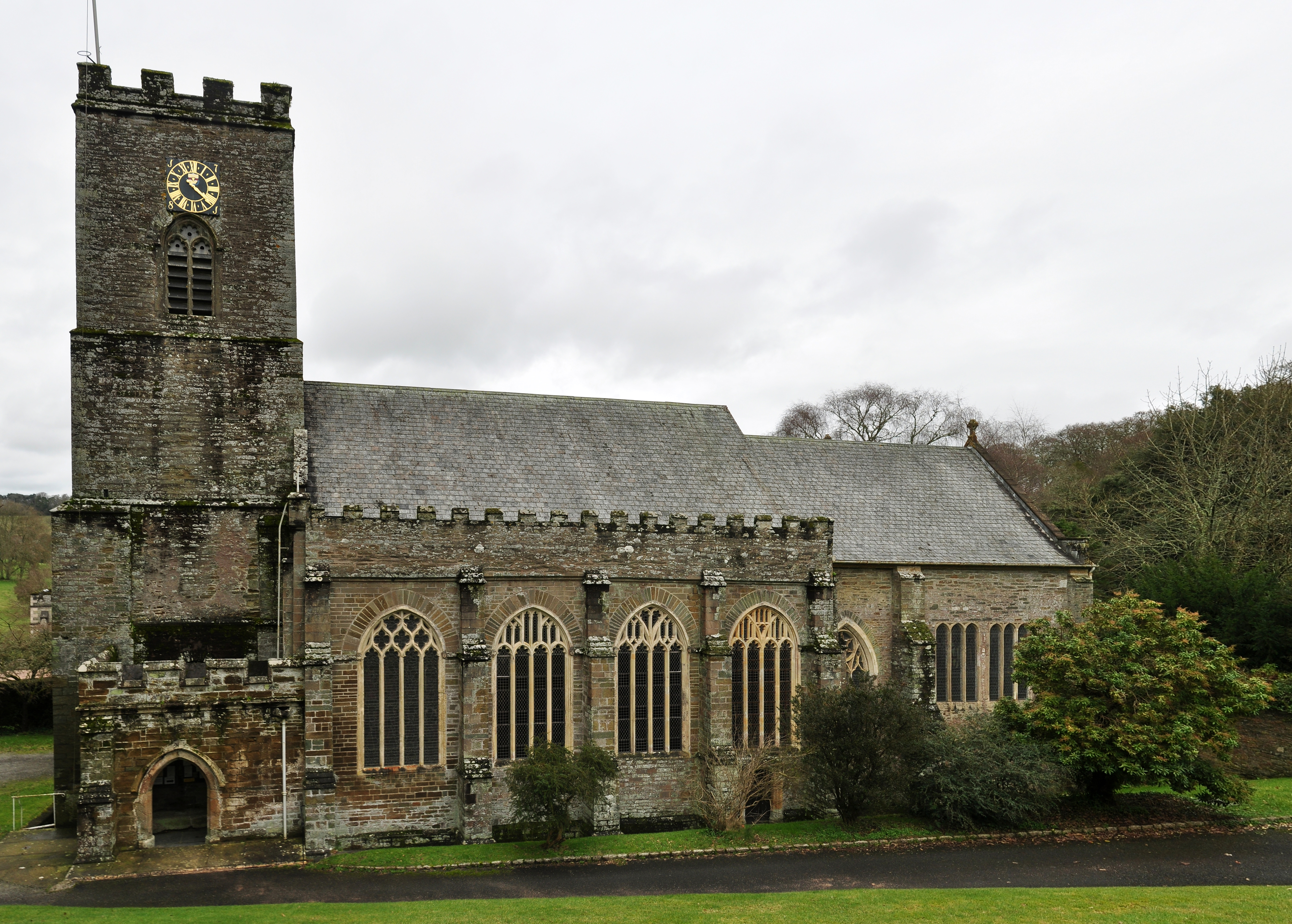
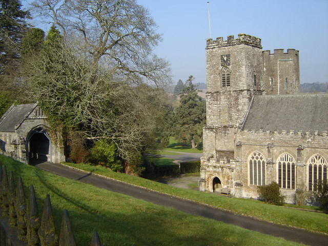
Hatter's Wood Images
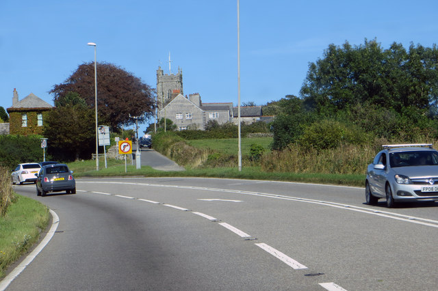
Images are sourced within 2km of 50.409483/-4.3192213 or Grid Reference SX3559. Thanks to Geograph Open Source API. All images are credited.


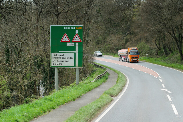
Hatter's Wood is located at Grid Ref: SX3559 (Lat: 50.409483, Lng: -4.3192213)
Unitary Authority: Cornwall
Police Authority: Devon and Cornwall
What 3 Words
///rainfall.apart.balconies. Near Landrake, Cornwall
Nearby Locations
Related Wikis

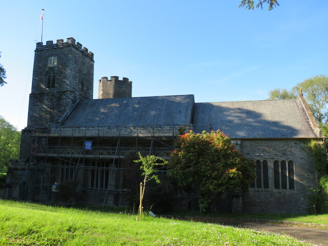
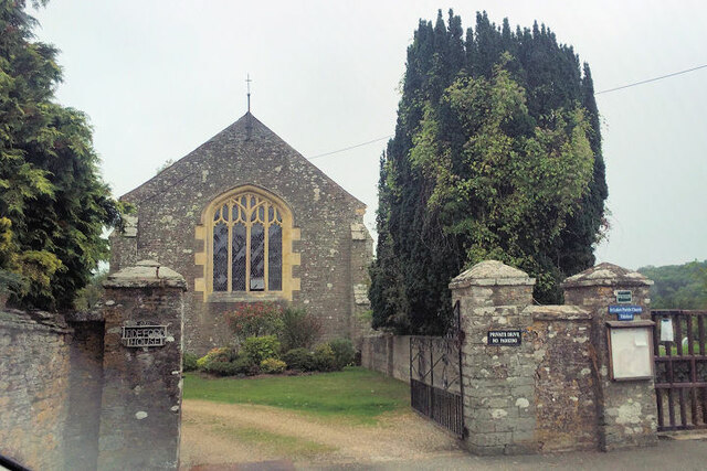
Tideford
Tideford (; Cornish: Resteudhi) is a small village in east Cornwall, England, United Kingdom. It is twinned with Plouguerneau in Brittany, France. Its...
Port Eliot
Port Eliot in the parish of St Germans, Cornwall, England, United Kingdom, is the ancestral seat of the Eliot family, whose present head is Albert Eliot...
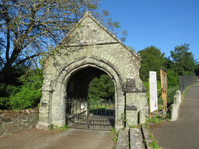
St German's Priory
St Germans Priory is a large Norman church in the village of St Germans in south-east Cornwall, England, UK. == History == According to a credible tradition...
St Germans, Cornwall
St Germans (Cornish: Lannaled) is a village and civil parish in east Cornwall, England, United Kingdom. It stands on the River Tiddy, just upstream of...
Nearby Amenities
Located within 500m of 50.409483,-4.3192213Have you been to Hatter's Wood?
Leave your review of Hatter's Wood below (or comments, questions and feedback).