Baypark Wood

Wood, Forest in Cornwall

England

Baypark Wood

Crift Ford This ford is found at Lower Crift.
Crift Ford Credit: John Walton

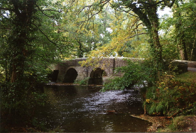
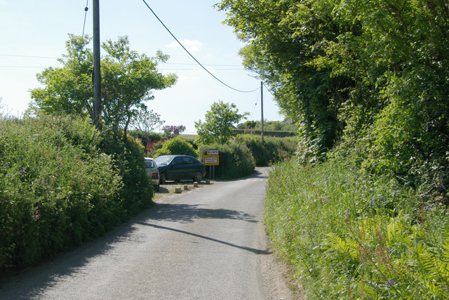
Baypark Wood is a picturesque forest located in the county of Cornwall, England. Situated near the coastal town of St Austell, this woodland area covers approximately 100 acres of land and is a popular destination for nature enthusiasts and hikers alike.

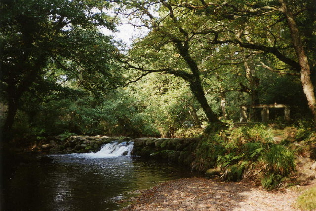
The wood is characterized by its diverse range of tree species, including oak, beech, and pine, which create a rich and vibrant ecosystem. The dense canopy provides a sheltered environment for a variety of wildlife, such as deer, foxes, and numerous bird species. The forest floor is adorned with an array of wildflowers, adding to the beauty of the surroundings.

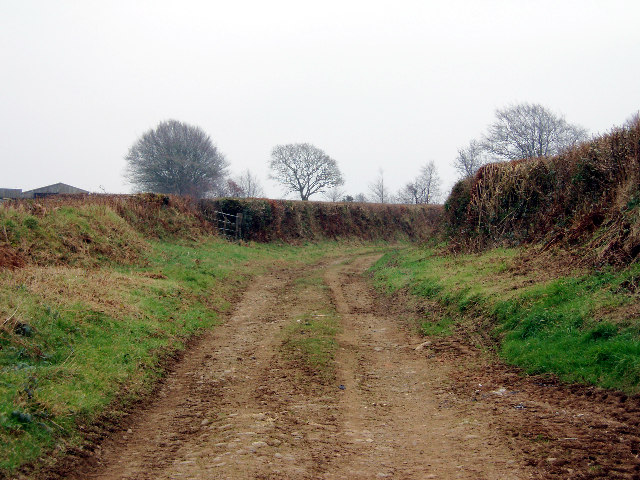
There are several well-maintained walking trails that wind through Baypark Wood, allowing visitors to explore the area at their own pace. These trails vary in difficulty, catering to both beginners and experienced hikers. Along the way, hikers can enjoy breathtaking views of the surrounding countryside and even catch glimpses of the nearby coastline.

In addition to its natural beauty, Baypark Wood also offers recreational facilities for visitors. There are picnic areas scattered throughout the forest, providing a perfect spot for families and friends to enjoy a packed lunch amidst the tranquil setting. The wood is also equipped with well-maintained restroom facilities and ample parking space for visitors.

Overall, Baypark Wood in Cornwall is a haven for nature lovers, offering a serene and enchanting environment to explore. With its diverse wildlife, scenic trails, and recreational amenities, it is a must-visit destination for anyone seeking a peaceful escape in the heart of nature.

If you have any feedback on the listing, please let us know in the comments section below.
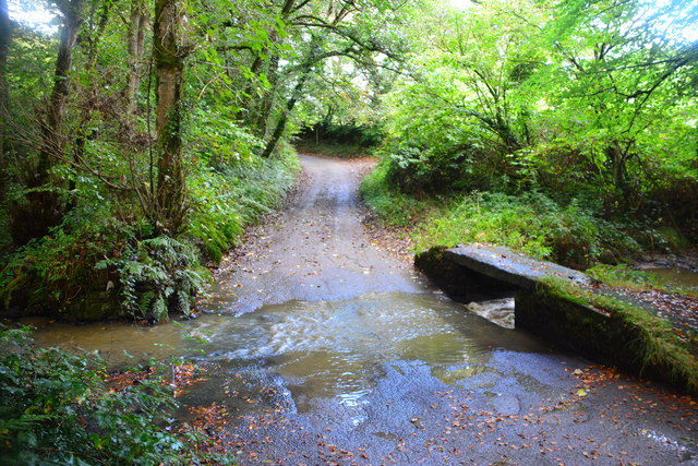
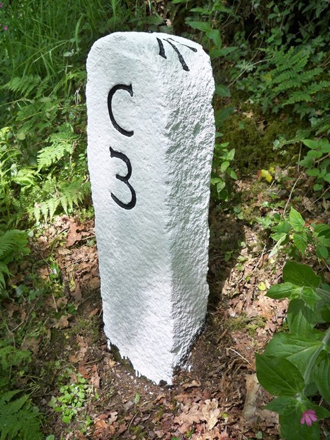
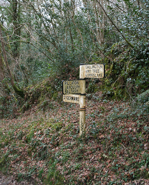
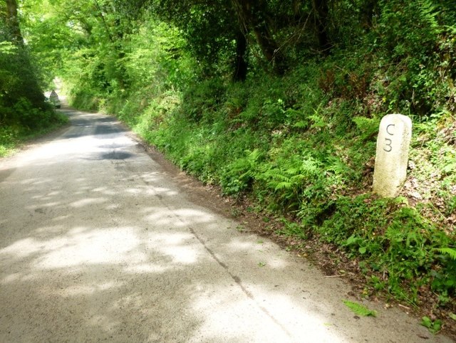
Baypark Wood Images

Images are sourced within 2km of 50.46689/-4.328935 or Grid Reference SX3465. Thanks to Geograph Open Source API. All images are credited.

Crift Ford This ford is found at Lower Crift.
Crift Ford
This ford is found at Lower Crift.
Old Milestone north east of Clapper Bridge Carved stone post by the UC road, in parish of ST MELLION (CARADON District), Freeres Farm, Bramble Wood, South of T-junction, high on verge, clear of bank, on North side of road. Callington C tombstone, erected by the Callington turnpike trust in the 18th century. 

Inscription reads:-
C
3 
Carved benchmark and rivet on top.

Grade II Listed. List Entry Number: 1392534
<span class="nowrap"><a title="https://historicengland.org.uk/listing/the-list/list-entry/1392534" rel="nofollow ugc noopener" href="https://historicengland.org.uk/listing/the-list/list-entry/1392534">Link</a><img style="margin-left:2px;" alt="External link" title="External link - shift click to open in new window" src="https://s1.geograph.org.uk/img/external.png" width="10" height="10"/></span>

Milestone Society National ID: CW_CLSG03.
Old Milestone north east of Clapper Bridge
Carved stone post by the UC road, in parish of ST MELLION (CARADON District), Freeres Farm, Bramble Wood, South of T-junction, high on verge, clear of bank, on North side of road. Callington C tombstone, erected by the Callington turnpike trust in the 18th century. Inscription reads:- C 3 Carved benchmark and rivet on top. Grade II Listed. List Entry Number: 1392534 LinkExternal link Milestone Society National ID: CW_CLSG03.
Old Direction Sign - Signpost Missing finial - Visick cone by the UC road, in parish of St Mellion (Caradon District), above Clapper Bridge (North bank), at UC road junction, in bank, East of milestone: CW_CLSG03 <a href="https://www.geograph.org.uk/photo/5623256">SX3565 : Old Milestone north east of Clapper Bridge</a>

Surveyed

Milestone Society National ID: CW_SX3565
Old Direction Sign - Signpost
Missing finial - Visick cone by the UC road, in parish of St Mellion (Caradon District), above Clapper Bridge (North bank), at UC road junction, in bank, East of milestone: CW_CLSG03 SX3565 : Old Milestone north east of Clapper Bridge Surveyed Milestone Society National ID: CW_SX3565
Old Milestone south of Newton Ferrers, by Bramble Wood Carved stone post by the UC road, in parish of ST MELLION (CARADON District), Freeres Farm, Bramble Wood, South of T-junction, high on verge, clear of bank, on North side of road. Callington 'C' tombstone, erected by the Callington turnpike trust in the 18th century. 

Inscription reads:-
C
3 
Carved benchmark and rivet on top.

Grade II listed. 
List Entry Number: 1392534 <span class="nowrap"><a title="https://historicengland.org.uk/listing/the-list/list-entry/1392534" rel="nofollow ugc noopener" href="https://historicengland.org.uk/listing/the-list/list-entry/1392534">Link</a><img style="margin-left:2px;" alt="External link" title="External link - shift click to open in new window" src="https://s1.geograph.org.uk/img/external.png" width="10" height="10"/></span>

Milestone Society National ID: CW_CLSG03
Old Milestone south of Newton Ferrers, by Bramble Wood
Carved stone post by the UC road, in parish of ST MELLION (CARADON District), Freeres Farm, Bramble Wood, South of T-junction, high on verge, clear of bank, on North side of road. Callington 'C' tombstone, erected by the Callington turnpike trust in the 18th century. Inscription reads:- C 3 Carved benchmark and rivet on top. Grade II listed. List Entry Number: 1392534 LinkExternal link Milestone Society National ID: CW_CLSG03
St Mellion: Clapper Bridge A crossing of the river Lynher
St Mellion: Clapper Bridge
A crossing of the river Lynher
St Mellion: Pillaton Mill Weir A weir on the river Lynher which fed the 1.5 mile long leat to Pillaton Mill
St Mellion: Pillaton Mill Weir
A weir on the river Lynher which fed the 1.5 mile long leat to Pillaton Mill
Farm lane near Amytree A pheasant just running into the field gate.
Farm lane near Amytree
A pheasant just running into the field gate.
Bare Trees, Green Pasture
Houses on the hill The minor road descends steeply here past one or two houses into the wooded Lynher valley.
Houses on the hill
The minor road descends steeply here past one or two houses into the wooded Lynher valley.
Road, Hedge and Pasture To the west of the steep Lynher valley the landscape reverts to the pasture more typical of east Cornwall.
Road, Hedge and Pasture
To the west of the steep Lynher valley the landscape reverts to the pasture more typical of east Cornwall.
A Glimpse of the River The road through Warrenhouse plantation comes close to the River Lynher here.
A Glimpse of the River
The road through Warrenhouse plantation comes close to the River Lynher here.
Approaching Leigh Plantation The field on the right has the unmistakable yellow of oilseed rape in flower.
Approaching Leigh Plantation
The field on the right has the unmistakable yellow of oilseed rape in flower.
Sheep by the Gate I often see sheep leaning on gates. Why do they do this?
Sheep by the Gate
I often see sheep leaning on gates. Why do they do this?
The Lynher River
The Lynher River
Cadson Bury Fort This high hill on the Lynher Valley is topped by an Iron Age Hill Fort.  The view is from the roadside near Lower Crift, just over a kilometre south of the fort.
Cadson Bury Fort
This high hill on the Lynher Valley is topped by an Iron Age Hill Fort. The view is from the roadside near Lower Crift, just over a kilometre south of the fort.
On Cadson Bury Fort Cadson Bury Fort is an Iron Age Hill Fort built on the top of a high hill next to the River Lynher.  The fort on the hilltop is oval in shape and the ramparts enclose an area approximately 220 metres wide from north to south and 130 metres wide from east to west.  Inside this the land rises to a gentle mound.  The steep sided ramparts lead down to a ditch surrounding the hilltop.  This view shows just a section of the northern edge of the fort.
On Cadson Bury Fort
Cadson Bury Fort is an Iron Age Hill Fort built on the top of a high hill next to the River Lynher. The fort on the hilltop is oval in shape and the ramparts enclose an area approximately 220 metres wide from north to south and 130 metres wide from east to west. Inside this the land rises to a gentle mound. The steep sided ramparts lead down to a ditch surrounding the hilltop. This view shows just a section of the northern edge of the fort.
Spider Web in the Grass The grass at the top of the hill at Cadson fort was covered in these little spider webs which, being covered in dew were very plain to see.  They lead down into a funnel at the centre of the web where presumably a spider waits for visitors.
Spider Web in the Grass
The grass at the top of the hill at Cadson fort was covered in these little spider webs which, being covered in dew were very plain to see. They lead down into a funnel at the centre of the web where presumably a spider waits for visitors.
Below the Ramparts at Cadson Fort Here near the eastern entrance to the fort, the remains of a ditch below the ramparts can still just be seen.
Below the Ramparts at Cadson Fort
Here near the eastern entrance to the fort, the remains of a ditch below the ramparts can still just be seen.
Show me another place!

Baypark Wood is located at Grid Ref: SX3465 (Lat: 50.46689, Lng: -4.328935)

Unitary Authority: Cornwall

Police Authority: Devon and Cornwall

What 3 Words

///worked.vies.photos. Near Pillaton, Cornwall

Related Wikis

Cadson Bury

Cadson Bury is an Iron Age hillfort about 2 miles (3.2 km) south-west of Callington, in Cornwall, England. It is owned by the National Trust, and it is...

Pillaton

Pillaton (Cornish: Trebeulyow) is a village and civil parish in south east Cornwall, England, United Kingdom. The parish extends to approximately 4.6 square...

Penpoll

Penpoll is a farm in the parish of Quethiock, Cornwall, England, UK. It is near the hamlet of Blunts and north of Tideford Cross. The meaning of Penpoll...

Blunts, Cornwall

Blunts (Cornish: Shoppa Blunt) is a hamlet southeast of Quethiock in the civil parish of Quethiock in east Cornwall, England, United Kingdom. It is situated...

Have you been to Baypark Wood?

Leave your review of Baypark Wood below (or comments, questions and feedback).