Ham Mill Plantation

Wood, Forest in Devon

England

Ham Mill Plantation

The Devon border sign at Nether Bridge
The Devon border sign at Nether Bridge Credit: Roy Hughes

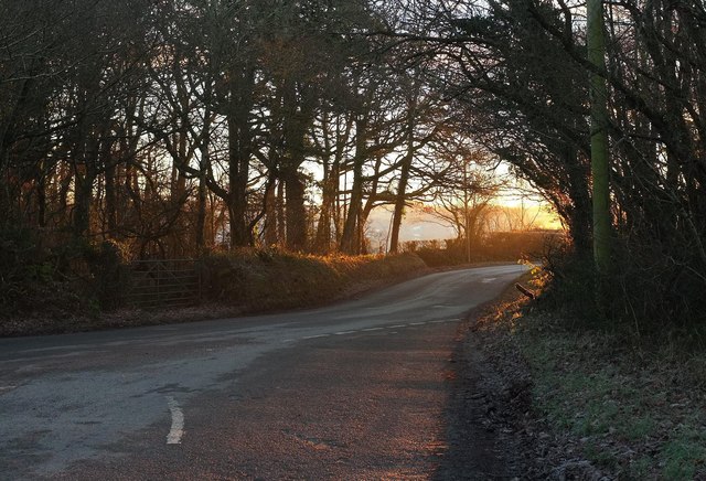
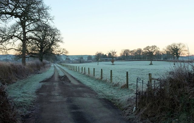
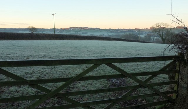
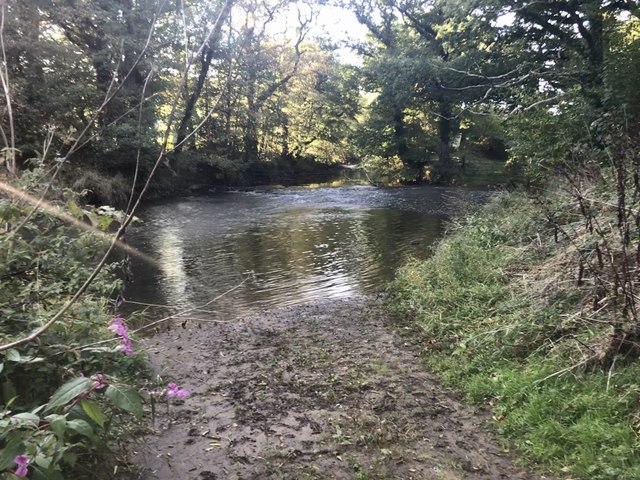
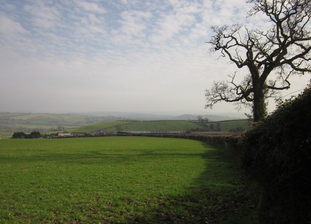
Ham Mill Plantation is a picturesque woodland located in Devon, England. Situated in the tranquil countryside, this plantation covers a vast area, boasting an impressive array of diverse flora and fauna. The plantation is primarily known for its dense forest of tall, majestic trees, creating a serene and enchanting atmosphere.

The plantation features a variety of tree species, including oak, beech, and pine, providing a rich and vibrant habitat for numerous wildlife species. These trees are carefully maintained and managed, ensuring the preservation of their natural beauty and ecological importance. The dense canopy of the trees creates a sheltered environment, while the forest floor is adorned with an abundance of wildflowers, mosses, and ferns.

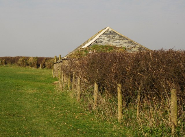
Visitors to Ham Mill Plantation can enjoy a range of outdoor activities amidst the stunning natural surroundings. There are well-maintained walking trails, allowing visitors to explore the plantation's hidden gems, such as charming streams and small waterfalls. Birdwatchers will be delighted by the diverse avian population, including woodpeckers, owls, and various songbirds.

Ham Mill Plantation is not only a haven for nature enthusiasts but also serves as an important ecosystem for the local wildlife. Deer, foxes, and rabbits are commonly spotted within the plantation, while elusive creatures such as badgers and stoats can occasionally be glimpsed.

Overall, Ham Mill Plantation is a captivating woodland retreat, offering an immersive experience in the heart of Devon's natural beauty. Whether seeking tranquility, wildlife encounters, or a leisurely stroll, this plantation provides a memorable destination for visitors of all ages.

If you have any feedback on the listing, please let us know in the comments section below.

Ham Mill Plantation Images

Images are sourced within 2km of 50.660862/-4.3468276 or Grid Reference SX3487. Thanks to Geograph Open Source API. All images are credited.

The Devon border sign at Nether Bridge
The River Tamar at Nether Bridge
Higher New Bridge over the River Tamar
The A388 crossing the River Tamar at Nether Bridge
Launceston town sign on the A388
Sunrise at Coleman's Cross The first light of a frosty day reaches the junction shown from the other direction at <a href="https://www.geograph.org.uk/photo/461192">SX3586 : Coleman's Cross</a>. On the left is Raddons Plantation.
Sunrise at Coleman's Cross
The first light of a frosty day reaches the junction shown from the other direction at SX3586 : Coleman's Cross. On the left is Raddons Plantation.
Farm track to Tettaridge Barton Leading away from the rather busy road that links the A30 and the A388 across Heale Bridge. Just about dawn on a cold and frosty morning.
Farm track to Tettaridge Barton
Leading away from the rather busy road that links the A30 and the A388 across Heale Bridge. Just about dawn on a cold and frosty morning.
Sunrise by Coleman's Cross From beside where <a href="https://www.geograph.org.uk/photo/5258205">SX3586 : Sunrise at Coleman's Cross</a> was taken, looking towards Launceston on a frosty morning.
Sunrise by Coleman's Cross
From beside where SX3586 : Sunrise at Coleman's Cross was taken, looking towards Launceston on a frosty morning.
Old Milestone by the old A388, Higher New Bridge Carved stone post by the A388, in parish of ST STEPHENS BY LAUNCESTON RURAL (NORTH CORNWALL District), Higher New Bridge, in western cutwater refuge of bridge dated "circa 1504", on North West side of road. Launceston pillar, erected by the Launceston turnpike trust in the 18th century. 

Inscription reads:-
L
2 
Carved benchmark on front face.

Grade II Listed. List Entry Number: 1310378
<span class="nowrap"><a title="https://historicengland.org.uk/listing/the-list/list-entry/1310378" rel="nofollow ugc noopener" href="https://historicengland.org.uk/listing/the-list/list-entry/1310378">Link</a><img style="margin-left:2px;" alt="External link" title="External link - shift click to open in new window" src="https://s1.geograph.org.uk/img/external.png" width="10" height="10"/></span>

Milestone Society National ID: CW_LAHO02.
Old Milestone by the old A388, Higher New Bridge
Carved stone post by the A388, in parish of ST STEPHENS BY LAUNCESTON RURAL (NORTH CORNWALL District), Higher New Bridge, in western cutwater refuge of bridge dated "circa 1504", on North West side of road. Launceston pillar, erected by the Launceston turnpike trust in the 18th century. Inscription reads:- L 2 Carved benchmark on front face. Grade II Listed. List Entry Number: 1310378 LinkExternal link Milestone Society National ID: CW_LAHO02.
Crossgate Ford This ford on the River Tamar is found at Crossgate.
Crossgate Ford
This ford on the River Tamar is found at Crossgate.
Dutson Tollhouse by the A338, Dutson Tollhouse by the A388, in the parish of St. Stephens by Launceston Rural (North Cornwall District), Old Toll House, Homeleigh, Dutson, PL15 9SP.

Grade II listed.
List Entry Number: 1142915 <span class="nowrap"><a title="https://historicengland.org.uk/listing/the-list/list-entry/1142915" rel="nofollow ugc noopener" href="https://historicengland.org.uk/listing/the-list/list-entry/1142915">Link</a><img style="margin-left:2px;" alt="External link" title="External link - shift click to open in new window" src="https://s1.geograph.org.uk/img/external.png" width="10" height="10"/></span>

Surveyed

Milestone Society National ID: CW.SSL02
Dutson Tollhouse by the A338, Dutson
Tollhouse by the A388, in the parish of St. Stephens by Launceston Rural (North Cornwall District), Old Toll House, Homeleigh, Dutson, PL15 9SP. Grade II listed. List Entry Number: 1142915 LinkExternal link Surveyed Milestone Society National ID: CW.SSL02
Old Milestone on Nether Bridge, northeast of Launceston Carved stone post by the UC road (was A388), in parish of St Giles on the Heath (Torridge District), Nether Bridge over River Tamar, in the refuge at the middle of the bridge, on Northwest side of road. Launceston pillar, erected by the Launceston turnpike trust in the 18th century. 

Inscription reads:-
L
2
(To Launceston)
Carved benchmark on lower face.

Grade II listed.
List Entry Number: 1310378 <span class="nowrap"><a title="https://historicengland.org.uk/listing/the-list/list-entry/1310378" rel="nofollow ugc noopener" href="https://historicengland.org.uk/listing/the-list/list-entry/1310378">Link</a><img style="margin-left:2px;" alt="External link" title="External link - shift click to open in new window" src="https://s1.geograph.org.uk/img/external.png" width="10" height="10"/></span>

The bridge itself is Grade I listed and is also a Scheduled Monument.

Milestone Society National ID: CW_LAHO02
Old Milestone on Nether Bridge, northeast of Launceston
Carved stone post by the UC road (was A388), in parish of St Giles on the Heath (Torridge District), Nether Bridge over River Tamar, in the refuge at the middle of the bridge, on Northwest side of road. Launceston pillar, erected by the Launceston turnpike trust in the 18th century. Inscription reads:- L 2 (To Launceston) Carved benchmark on lower face. Grade II listed. List Entry Number: 1310378 LinkExternal link The bridge itself is Grade I listed and is also a Scheduled Monument. Milestone Society National ID: CW_LAHO02
Old Milestone by the former A388, Higher New Bridge Carved stone post by the A388, in parish of ST STEPHENS BY LAUNCESTON RURAL (NORTH CORNWALL District), Higher New Bridge, in Western cutwater refuge of bridge dated "circa 1504", on Northwest side of road. Launceston pillar, erected by the Launceston turnpike trust in the 18th century. 

Inscription reads:-
L
2 
Carved benchmark on lower face.

Grade II listed. 
List Entry Number: 1310378 <span class="nowrap"><a title="https://historicengland.org.uk/listing/the-list/list-entry/1310378" rel="nofollow ugc noopener" href="https://historicengland.org.uk/listing/the-list/list-entry/1310378">Link</a><img style="margin-left:2px;" alt="External link" title="External link - shift click to open in new window" src="https://s1.geograph.org.uk/img/external.png" width="10" height="10"/></span>

Milestone Society National ID: CW_LAHO02.
Old Milestone by the former A388, Higher New Bridge
Carved stone post by the A388, in parish of ST STEPHENS BY LAUNCESTON RURAL (NORTH CORNWALL District), Higher New Bridge, in Western cutwater refuge of bridge dated "circa 1504", on Northwest side of road. Launceston pillar, erected by the Launceston turnpike trust in the 18th century. Inscription reads:- L 2 Carved benchmark on lower face. Grade II listed. List Entry Number: 1310378 LinkExternal link Milestone Society National ID: CW_LAHO02.
Field at Dutson Viewed from a bend on Cross Lanes past a laneside oak. The buildings are at <a href="https://www.geograph.org.uk/photo/1587056">SX3485 : Homeleigh Garden Centre</a> on the A388.
Field at Dutson
Viewed from a bend on Cross Lanes past a laneside oak. The buildings are at SX3485 : Homeleigh Garden Centre on the A388.
Barn near Dutson One of a number of small barns in this region which have preserved their slate roofs. Taken from the same bend as <a href="https://www.geograph.org.uk/photo/2834808">SX3385 : Field at Dutson</a>.
Barn near Dutson
One of a number of small barns in this region which have preserved their slate roofs. Taken from the same bend as SX3385 : Field at Dutson.
A388 north of Dutson The main road winds across the Tamar valley towards Nether Bridge.
A388 north of Dutson
The main road winds across the Tamar valley towards Nether Bridge.
Sheep by the A388 This is the field to the left of the road shown in <a href="https://www.geograph.org.uk/photo/2834838">SX3486 : A388 north of Dutson</a>, with a conifer plantation on the left.
Sheep by the A388
This is the field to the left of the road shown in SX3486 : A388 north of Dutson, with a conifer plantation on the left.
Woodland edges near Dutson From the spot where <a href="https://www.geograph.org.uk/photo/2834847">SX3486 : Sheep by the A388</a> was taken, looking to its left, with deciduous trees fringing comifer plantations on the edge of the Tamar flood plain.
Woodland edges near Dutson
From the spot where SX3486 : Sheep by the A388 was taken, looking to its left, with deciduous trees fringing comifer plantations on the edge of the Tamar flood plain.
Show me another place!

Ham Mill Plantation is located at Grid Ref: SX3487 (Lat: 50.660862, Lng: -4.3468276)

Unitary Authority: Cornwall

Police Authority: Devon and Cornwall

What 3 Words

///adopt.samples.conjured. Near Werrington, Cornwall

Related Wikis

Crossgate Farmhouse

Crossgate Farmhouse is a Grade II listed farmhouse in the civil parish of Werrington, Cornwall, England, UK. It was perhaps built in the 18th century and...

Dutson

Dutson is a hamlet northeast of Launceston in Cornwall, England, and on the A388 main road. It is in the civil parish of St Stephens by Launceston Rural...

Werrington, Cornwall

Werrington (Cornish: Trewolvredow) is a civil parish and former manor now in Cornwall, England, United Kingdom. Prior to boundary changes it straddled...

Eggbeare

Eggbeare is a hamlet 2 miles (3.2 km) north-east of Launceston in east Cornwall, England. Eggbeare lies at around 94 metres (308 ft) above sea level and...

Nearby Amenities

Located within 500m of 50.660862,-4.3468276
Power: pole
Lat/Long: 50.6628515/-4.3482712
Power: pole
Lat/Long: 50.6631184/-4.3492663
Power: pole
Lat/Long: 50.6633871/-4.3505135
Power: pole
Lat/Long: 50.6638512/-4.3519726
Power: pole
Lat/Long: 50.6637152/-4.3508005
Power: pole
Lat/Long: 50.6629926/-4.349446
Power: pole
Lat/Long: 50.6622904/-4.3480808
Power: pole
Lat/Long: 50.6616818/-4.3469542
Power: pole
Lat/Long: 50.6609693/-4.3452913
Power: pole
Lat/Long: 50.6604593/-4.3441379
Power: pole
Lat/Long: 50.6609727/-4.3436578
Power: pole
Lat/Long: 50.6604457/-4.3427432
Power: pole
Lat/Long: 50.6599118/-4.3418312
Power: pole
Lat/Long: 50.6593252/-4.340761
Power: pole
Lat/Long: 50.6601379/-4.3437731
Power: pole
Lat/Long: 50.6587572/-4.3431911
Power: pole
Lat/Long: 50.6579802/-4.3430704
Power: pole
Lat/Long: 50.6571589/-4.3429685
The data included in this document is from www.openstreetmap.org. The data is made available under ODbL.

Have you been to Ham Mill Plantation?

Leave your review of Ham Mill Plantation below (or comments, questions and feedback).