Bones Wood
Wood, Forest in Cornwall
England
Bones Wood
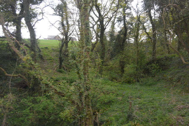
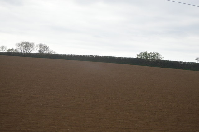
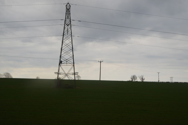
Bones Wood, Cornwall, also known as Wood or Forest, is a picturesque and serene natural site located in the southwestern region of England. Situated near the village of Bones, this ancient woodland covers an area of approximately 100 acres and is renowned for its scenic beauty and diverse range of flora and fauna.
The woodland is predominantly composed of broadleaf trees, such as oak, beech, and ash, which create a dense canopy that filters sunlight and creates a cool and tranquil atmosphere. The forest floor is adorned with a vibrant carpet of wildflowers, including bluebells, primroses, and wood anemones, adding to the enchanting ambiance of the area.
Bones Wood serves as a vital habitat for numerous species of wildlife, including deer, badgers, foxes, and a wide variety of bird species. It provides a safe haven for these animals, offering ample food and shelter throughout the year. Birdwatchers are particularly drawn to the woods due to the presence of rare species such as the lesser spotted woodpecker and the tawny owl.
The wood is crisscrossed by well-maintained footpaths, inviting visitors to explore its natural wonders. Hiking and walking enthusiasts can enjoy the peacefulness and tranquility of the surroundings while immersing themselves in the sights and sounds of nature. The area is also popular for nature photography, with many photographers capturing the magical essence of Bones Wood throughout the seasons.
Bones Wood, Cornwall, is a cherished natural treasure, offering visitors an opportunity to escape the hustle and bustle of everyday life and immerse themselves in the beauty and serenity of this ancient woodland.
If you have any feedback on the listing, please let us know in the comments section below.
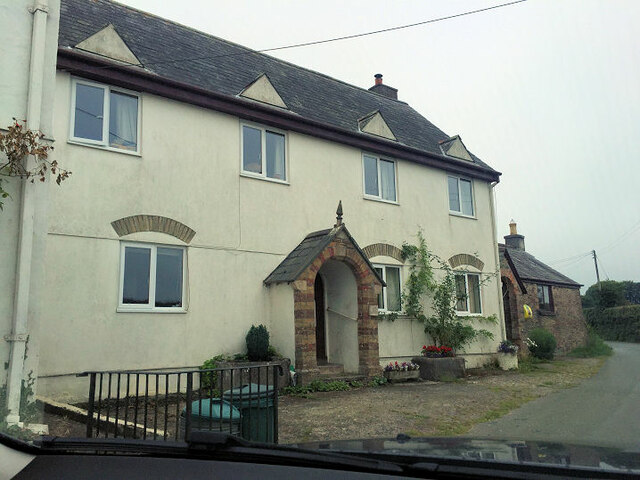
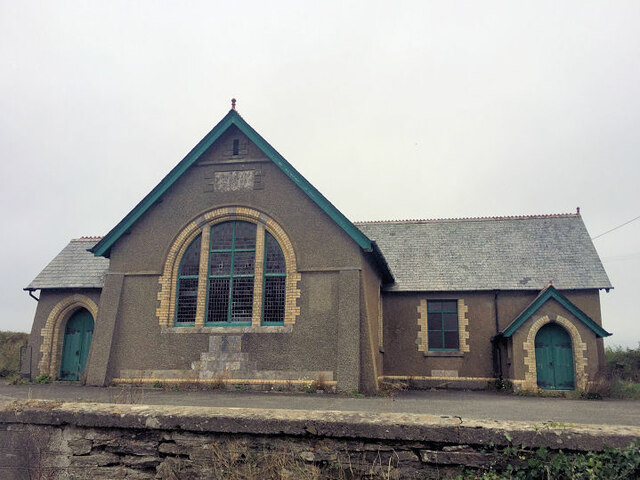
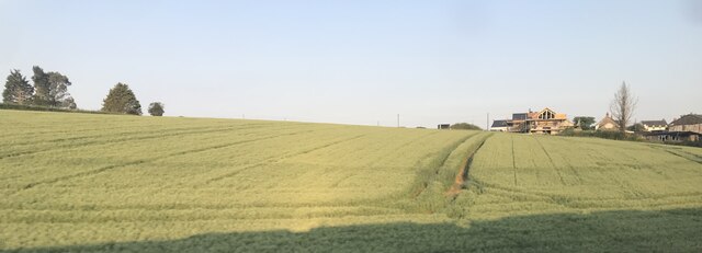
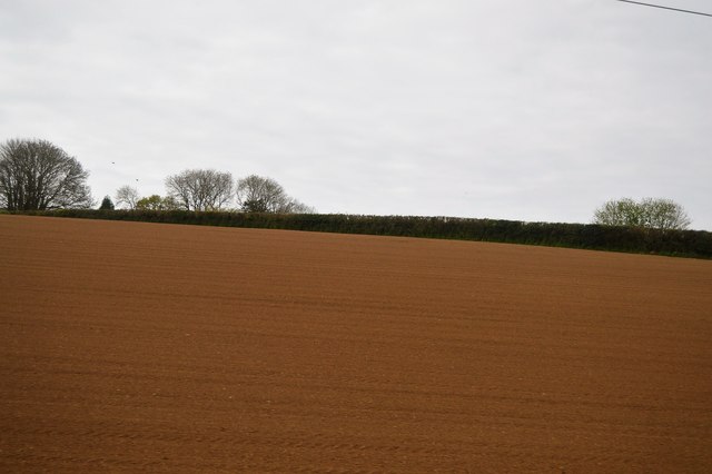
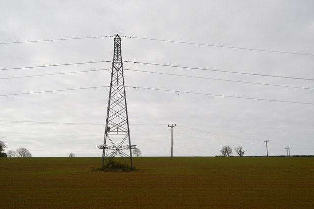
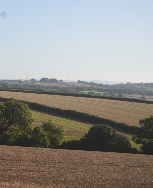
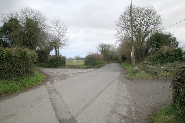
Bones Wood Images
Images are sourced within 2km of 50.428908/-4.3516554 or Grid Reference SX3361. Thanks to Geograph Open Source API. All images are credited.


Bones Wood is located at Grid Ref: SX3361 (Lat: 50.428908, Lng: -4.3516554)
Unitary Authority: Cornwall
Police Authority: Devon and Cornwall
What 3 Words
///losing.speeds.skimmers. Near Landrake, Cornwall
Nearby Locations
Related Wikis

Tilland
Tilland is a hamlet in the parish of Quethiock, Cornwall, England, United Kingdom. == References ==

Cutmere
Cutmere is a hamlet in the parish of St Germans, Cornwall, England. It is in the civil parish of Quethiock == References ==
Tideford Cross
Tideford Cross is a hamlet in Cornwall, England, United Kingdom. It is about one mile north of Tideford. == References ==
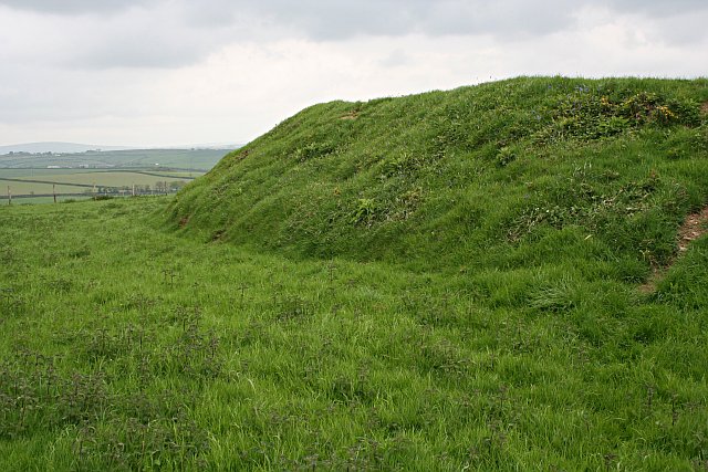
Padderbury Top
Padderbury Top is a hillfort about 2 miles (3.2 km) south-east of Menheniot, in Cornwall, England, named after the hill on which it is situated. It is...
Nearby Amenities
Located within 500m of 50.428908,-4.3516554Have you been to Bones Wood?
Leave your review of Bones Wood below (or comments, questions and feedback).