Ashplot Wood

Wood, Forest in Devon Torridge

England

Ashplot Wood

Farmland near Affaland Cross From the lane to North Tamerton, looking over a side valley of the Claw.
Farmland near Affaland Cross Credit: Derek Harper

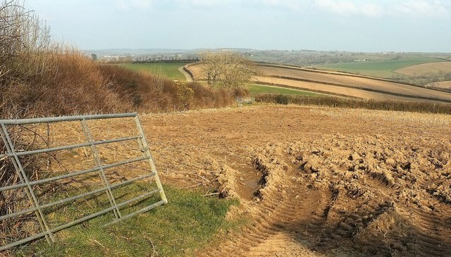
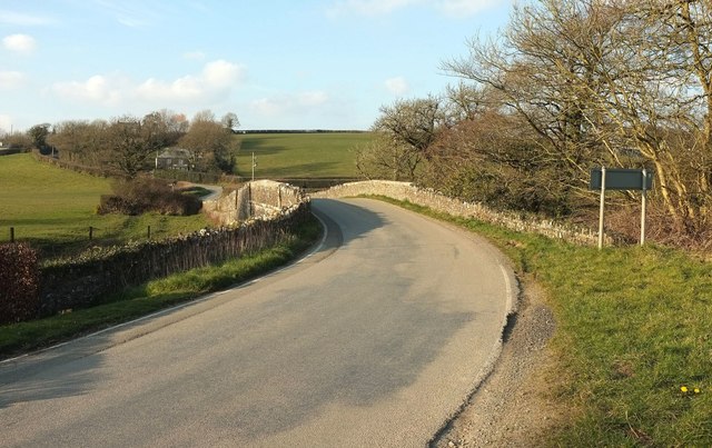
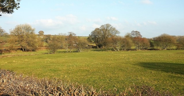
Ashplot Wood is a picturesque forest located in Devon, England. Covering an area of approximately 500 acres, it is a popular destination for nature lovers, hikers, and birdwatchers alike. The wood is predominantly made up of mature ash trees, which give it its name, but it also features a diverse range of other tree species including oak, beech, and birch.

The wood is known for its enchanting beauty, with a dense canopy of foliage that creates a cool and peaceful atmosphere. Walking through the forest, visitors can enjoy the tranquility and serenity of nature, as well as the gentle rustling of leaves underfoot.

Ashplot Wood is home to a rich variety of wildlife, making it a haven for nature enthusiasts. Birdwatchers can spot numerous species such as woodpeckers, tawny owls, and nuthatches, while small mammals like foxes, badgers, and squirrels can also be observed. The wood is particularly renowned for its vibrant butterfly population, with species such as the silver-washed fritillary and purple hairstreak fluttering around in the summer months.

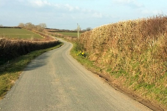
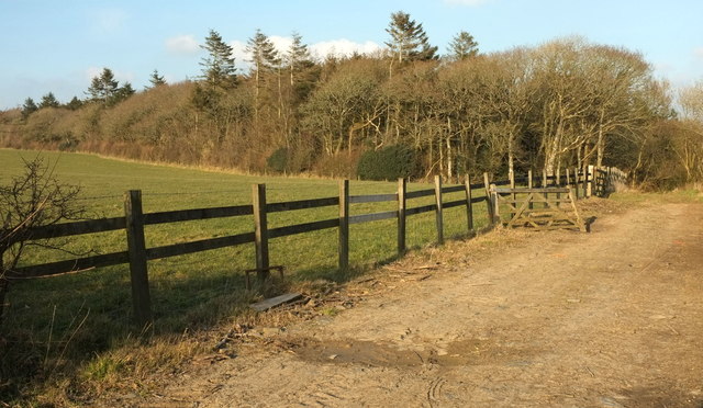
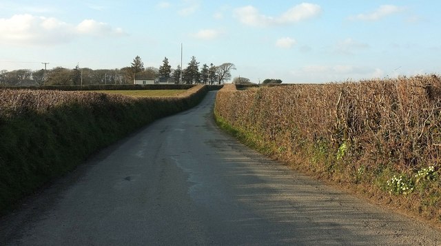
The forest offers a network of well-maintained footpaths and trails, allowing visitors to explore its beauty at their own pace. It is a popular location for family outings, picnics, and leisurely walks. Throughout the year, the wood hosts various events and activities, including guided walks, educational workshops, and nature-themed exhibitions.

Ashplot Wood is a true gem of Devon, offering a peaceful retreat from the hustle and bustle of everyday life and a chance to reconnect with nature in all its splendor.

If you have any feedback on the listing, please let us know in the comments section below.
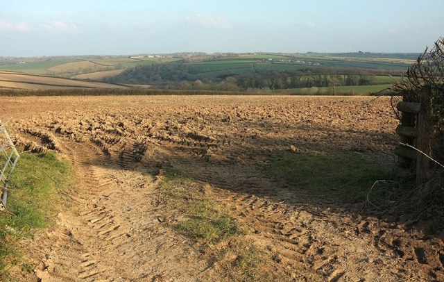
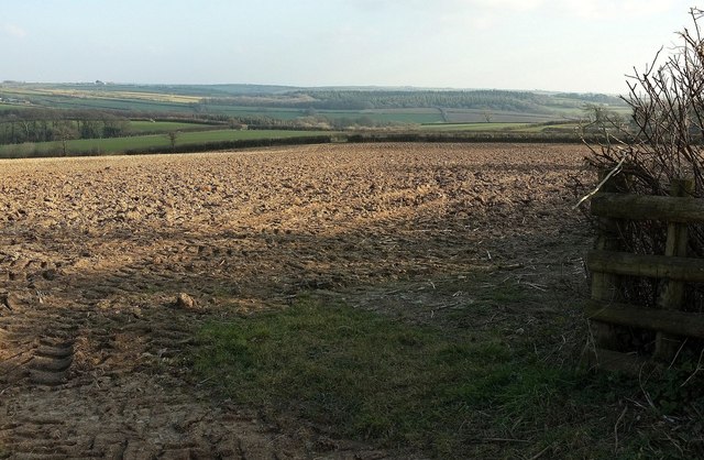
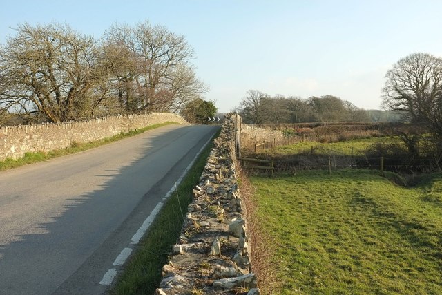
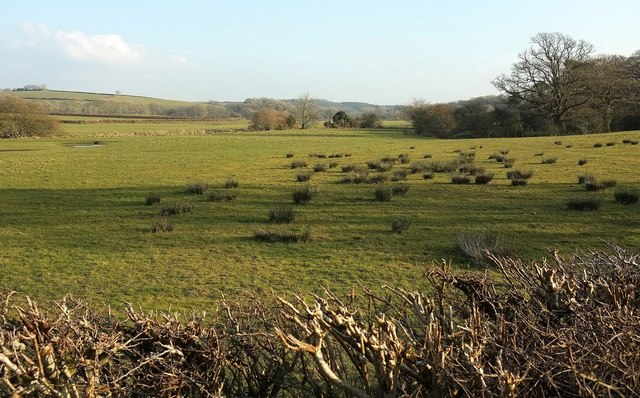
Ashplot Wood Images

Images are sourced within 2km of 50.748151/-4.3756747 or Grid Reference SX3296. Thanks to Geograph Open Source API. All images are credited.

Farmland near Affaland Cross From the lane to North Tamerton, looking over a side valley of the Claw.
Farmland near Affaland Cross
From the lane to North Tamerton, looking over a side valley of the Claw.
Lane near Layhay The lane from North Tamerton to Affaland Cross briefly crosses the square; by the time it reaches the junction ahead on the right, the turn into the farm at Fernhill, it has crossed into <a href="https://www.geograph.org.uk/gridref/SX3398">SX3398</a>.
Lane near Layhay
The lane from North Tamerton to Affaland Cross briefly crosses the square; by the time it reaches the junction ahead on the right, the turn into the farm at Fernhill, it has crossed into SX3398.
Farm lane to Higher Horslett The private farm road seen from its junction with the lane up Horslett Hill, and with attractive beeches on the bank.
Farm lane to Higher Horslett
The private farm road seen from its junction with the lane up Horslett Hill, and with attractive beeches on the bank.
Elger Wood A track (not a right of way - there aren't many around here) leads from the road from North Tamerton to Holsworthy into the wood, which lies along the slopes of the Deer valley.
Elger Wood
A track (not a right of way - there aren't many around here) leads from the road from North Tamerton to Holsworthy into the wood, which lies along the slopes of the Deer valley.
Lane at Horslett From the same spot as <a href="https://www.geograph.org.uk/photo/4865794">SX3297 : Farm lane to Higher Horslett</a>, looking to the right up the lane past the group of cottages shown from the other direction in <a href="https://www.geograph.org.uk/photo/599203">SX3297 : Wits End Cottage</a>.
Lane at Horslett
From the same spot as SX3297 : Farm lane to Higher Horslett, looking to the right up the lane past the group of cottages shown from the other direction in SX3297 : Wits End Cottage.
Lambs at Horslett And ... they're off. Number 50 has some ground to make up but there's certainly a spring in its step. This is across the lane from <a href="https://www.geograph.org.uk/photo/4865794">SX3297 : Farm lane to Higher Horslett</a>.
Lambs at Horslett
And ... they're off. Number 50 has some ground to make up but there's certainly a spring in its step. This is across the lane from SX3297 : Farm lane to Higher Horslett.
Tamerton Bridge Across the River Tamar; also shown in <a href="https://www.geograph.org.uk/photo/1195673">SX3197 : Bridge over River Tamar.</a>, and probably date from soon after 1847, when a flood destroyed the medieval bridge here<span class="nowrap"><a title="https://www.historicengland.org.uk/listing/the-list/list-entry/1142438" rel="nofollow ugc noopener" href="https://www.historicengland.org.uk/listing/the-list/list-entry/1142438">Link</a><img style="margin-left:2px;" alt="External link" title="External link - shift click to open in new window" src="https://s1.geograph.org.uk/img/external.png" width="10" height="10"/></span> .
Tamerton Bridge
Across the River Tamar; also shown in SX3197 : Bridge over River Tamar., and probably date from soon after 1847, when a flood destroyed the medieval bridge hereLinkExternal link .
Tamerton Bridge Another view of the listed C19 bridge over the Tamar shown in <a href="https://www.geograph.org.uk/photo/4873724">SX3197 : Tamerton Bridge</a> and <a href="https://www.geograph.org.uk/photo/1195673">SX3197 : Bridge over River Tamar.</a>, and very similar to the latter.
Tamerton Bridge
Another view of the listed C19 bridge over the Tamar shown in SX3197 : Tamerton Bridge and SX3197 : Bridge over River Tamar., and very similar to the latter.
Towards the Claw valley From the road between Corfcott Green and Commons Gate. The distant farms across the valley are Kennicott (left) and Gunnacott. <a href="https://www.geograph.org.uk/photo/4865762">SX3398 : Farmland near Affaland Cross</a> looks more to the left from the same gateway.
Towards the Claw valley
From the road between Corfcott Green and Commons Gate. The distant farms across the valley are Kennicott (left) and Gunnacott. SX3398 : Farmland near Affaland Cross looks more to the left from the same gateway.
Towards the Claw valley From the same gateway as <a href="https://www.geograph.org.uk/photo/5001303">SX3398 : Towards the Claw valley</a> and <a href="https://www.geograph.org.uk/photo/4865762">SX3398 : Farmland near Affaland Cross</a>, looking to the right.
Towards the Claw valley
From the same gateway as SX3398 : Towards the Claw valley and SX3398 : Farmland near Affaland Cross, looking to the right.
Farmland at Circuit House A cross-grid from the lane shown in <a href="https://www.geograph.org.uk/photo/4865790">SX3298 : Lane near Layhay</a>, looking across a side valley of the Deer.
Farmland at Circuit House
A cross-grid from the lane shown in SX3298 : Lane near Layhay, looking across a side valley of the Deer.
Hawkes Place Houses on Horslett Hill; the lane is climbing steadily from the Deer valley.
Hawkes Place
Houses on Horslett Hill; the lane is climbing steadily from the Deer valley.
Road near Tamerton Bridge In the foreground is the junction with the lane to Corfcott Green. The cottage on the left is just beyond the entrance lane to Bridge Farm.
Road near Tamerton Bridge
In the foreground is the junction with the lane to Corfcott Green. The cottage on the left is just beyond the entrance lane to Bridge Farm.
Tamerton Bridge The parapets leading up to the bridge <span class="nowrap"><a title="https://www.historicengland.org.uk/listing/the-list/list-entry/1142438" rel="nofollow ugc noopener" href="https://www.historicengland.org.uk/listing/the-list/list-entry/1142438">Link</a><img style="margin-left:2px;" alt="External link" title="External link - shift click to open in new window" src="https://s1.geograph.org.uk/img/external.png" width="10" height="10"/></span> on the north side of the Tamar. See also <a title="https://www.geograph.org.uk/search.php?i=63908981" href="https://www.geograph.org.uk/search.php?i=63908981">Link</a> .
Tamerton Bridge
The parapets leading up to the bridge LinkExternal link on the north side of the Tamar. See also Link .
Tamar at Tamerton Bridge Looking downstream: the river is approaching the confluence with the Deer. Near the bend ahead the calm river breaks into rapids; could this be a nick point?
Tamar at Tamerton Bridge
Looking downstream: the river is approaching the confluence with the Deer. Near the bend ahead the calm river breaks into rapids; could this be a nick point?
Rushy meadow by the Tamar From the road south of Tamerton Bridge.
Rushy meadow by the Tamar
From the road south of Tamerton Bridge.
Meadow by the Tamar Looking left from the same spot as <a href="https://www.geograph.org.uk/photo/5001612">SX3197 : Rushy meadow by the Tamar</a>, with the river flowing past the nearer bushes, and behind it the lane crossing Deer Bridge; the rivers (Deer and Tamar) meet somewhere right of centre among the trees.
Meadow by the Tamar
Looking left from the same spot as SX3197 : Rushy meadow by the Tamar, with the river flowing past the nearer bushes, and behind it the lane crossing Deer Bridge; the rivers (Deer and Tamar) meet somewhere right of centre among the trees.
Road past Davies Farm From the point where <a href="https://www.geograph.org.uk/photo/4865808">SX3198 : Elger Wood</a> was taken, looking up the road to Venton. The building is a telephone exchange, with Brick Kiln Copse in the distance.
Road past Davies Farm
From the point where SX3198 : Elger Wood was taken, looking up the road to Venton. The building is a telephone exchange, with Brick Kiln Copse in the distance.
Show me another place!

Ashplot Wood is located at Grid Ref: SX3296 (Lat: 50.748151, Lng: -4.3756747)

Administrative County: Devon

District: Torridge

Police Authority: Devon and Cornwall

What 3 Words

///maple.recall.samplers. Near Boyton, Cornwall

Related Wikis

River Deer

The River Deer is river in Devon, a tributary of the River Tamar, joining it at North Tamerton. == Toponymy == The root of the name is uncertain, since...

North Tamerton

North Tamerton (Cornish: Tre war Damer) is a village and civil parish in east Cornwall, England, UK. The village is situated approximately eight miles...

Tetcott

Tetcott is a civil parish, small settlement and former manor (once the home of the Arscotts of Tetcott) in Devon, England. The parish lies about five miles...

St James's Church, Luffincott

St James's Church in Luffincott, Devon, England was built in the 15th century. It is recorded in the National Heritage List for England as a designated...

Luffincott

Luffincott is a civil parish in the far west of Devon, England. It forms part of the local government district of Torridge and lies about six miles south...

Clawton

Clawton is a village and civil parish in the far west of Devon, England. It forms part of the local government district of Torridge. The village lies about...

Northcott, Devon

Northcott is a small settlement and civil parish in the far west of Devon, England. It lies about seven miles south of the town of Holsworthy and forms...

Boyton, Cornwall

Boyton (Cornish: Trevoya) is a civil parish and village in Cornwall, England, United Kingdom. It is situated close to the River Tamar and the border with...

Nearby Amenities

Located within 500m of 50.748151,-4.3756747
Direction: SE
Generator Method: photovoltaic
Generator Output Electricity: yes
Generator Solar Modules: 16
Generator Source: solar
Generator Type: solar_photovoltaic_panel
Location: roof
Power: generator
Lat/Long: 50.7510195/-4.3718129
The data included in this document is from www.openstreetmap.org. The data is made available under ODbL.

Have you been to Ashplot Wood?

Leave your review of Ashplot Wood below (or comments, questions and feedback).