Ballpark Plantation
Wood, Forest in Cornwall
England
Ballpark Plantation
The requested URL returned error: 429 Too Many Requests
If you have any feedback on the listing, please let us know in the comments section below.
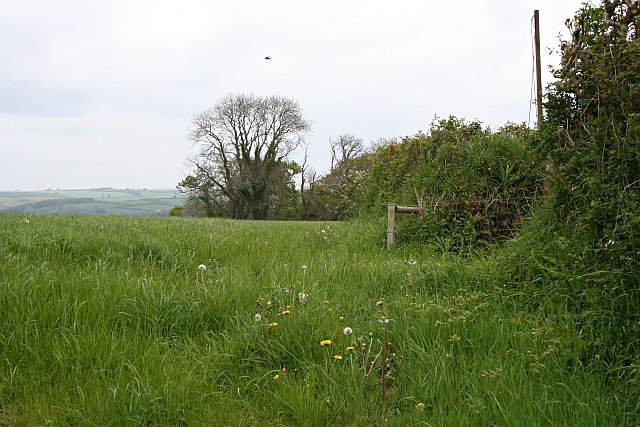
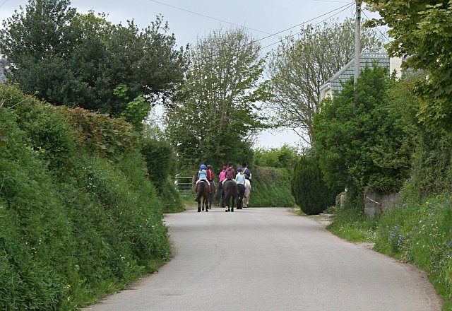
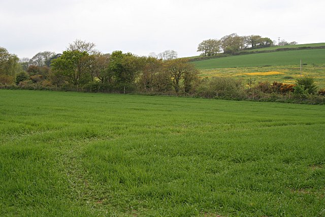
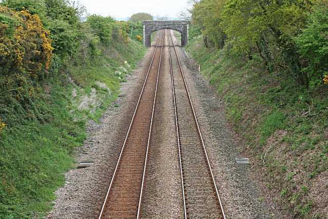
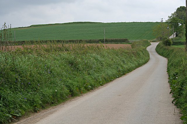
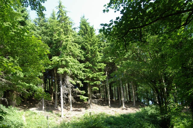
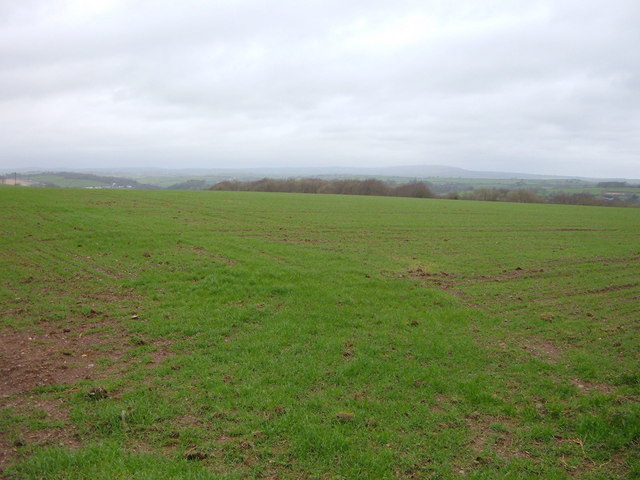
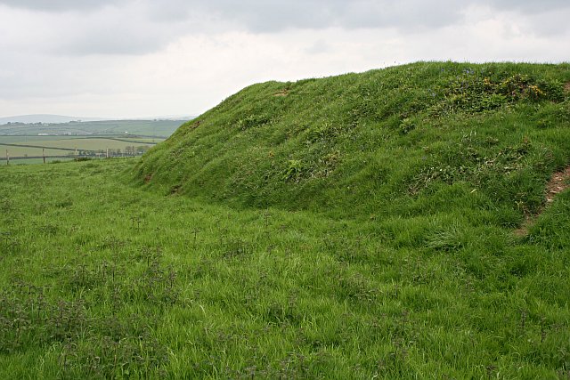
Ballpark Plantation Images
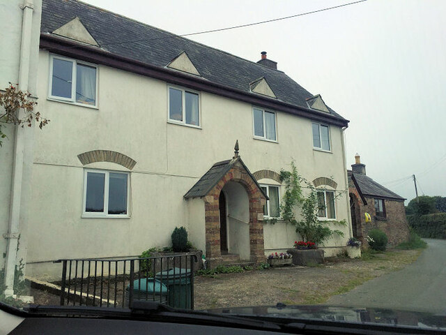
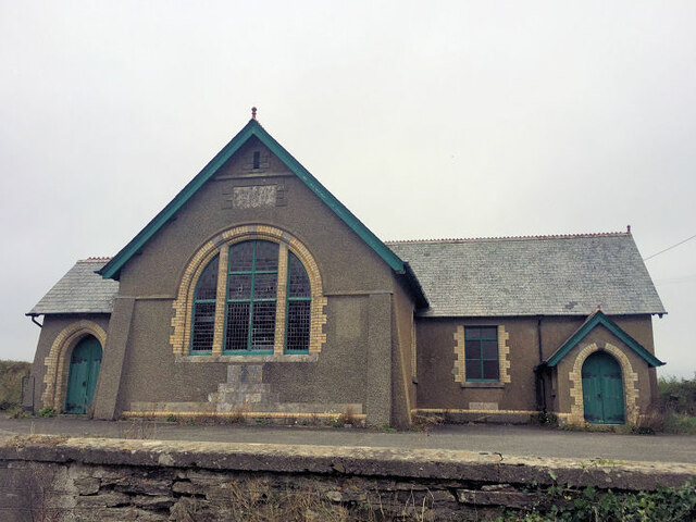
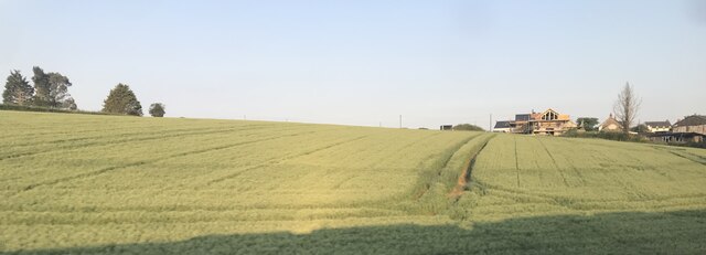
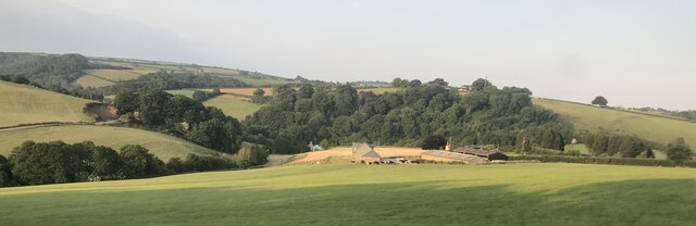
Images are sourced within 2km of 50.415956/-4.3812512 or Grid Reference SX3060. Thanks to Geograph Open Source API. All images are credited.


Ballpark Plantation is located at Grid Ref: SX3060 (Lat: 50.415956, Lng: -4.3812512)
Unitary Authority: Cornwall
Police Authority: Devon and Cornwall
What 3 Words
///improving.spoils.consoled. Near Landrake, Cornwall
Nearby Locations
Related Wikis

Catchfrench
Catchfrench is a hamlet in Cornwall, England. It is about 1.5 miles (2.4 km) north of Hessenford.Catchfrench Manor is a late 18th-century house by Charles...
Padderbury Top
Padderbury Top is a hillfort about 2 miles (3.2 km) south-east of Menheniot, in Cornwall, England, named after the hill on which it is situated. It is...
Bake Fishing Lakes
Bake Fishing Lakes (grid reference SX318587); also known as Bake Lakes, Bake Farm Lakes or Bake Pools; is the name for a group of lakes at Bake Farm, near...
Budge's Shop
Budge's Shop is a hamlet in Cornwall, England. It is half a mile northwest of Trerulefoot. According to the Post Office the 2011 census population was...
Nearby Amenities
Located within 500m of 50.415956,-4.3812512Have you been to Ballpark Plantation?
Leave your review of Ballpark Plantation below (or comments, questions and feedback).