Beneath Wood
Wood, Forest in Cornwall
England
Beneath Wood

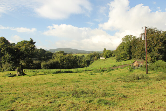
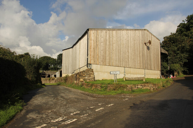
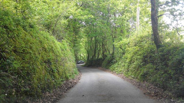
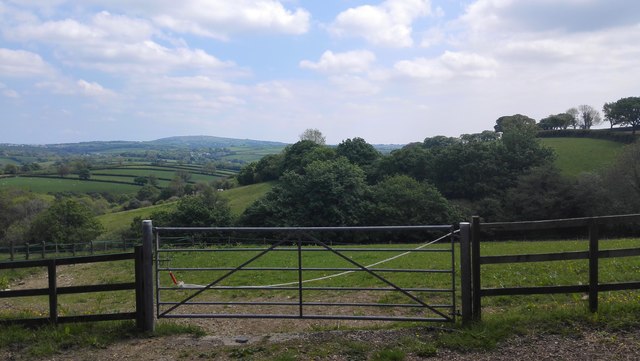
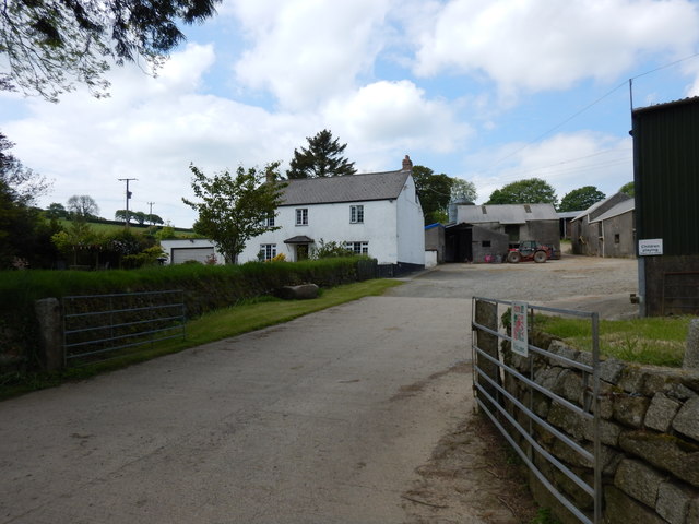
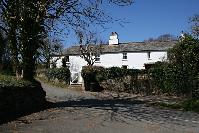
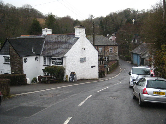
Beneath Wood, Cornwall is a picturesque forest located in the southwestern region of England. Situated in the county of Cornwall, this enchanting woodland area is known for its natural beauty and tranquility. Spanning over several hundred acres, Beneath Wood offers a diverse range of flora and fauna, making it a popular destination for nature enthusiasts and hikers.
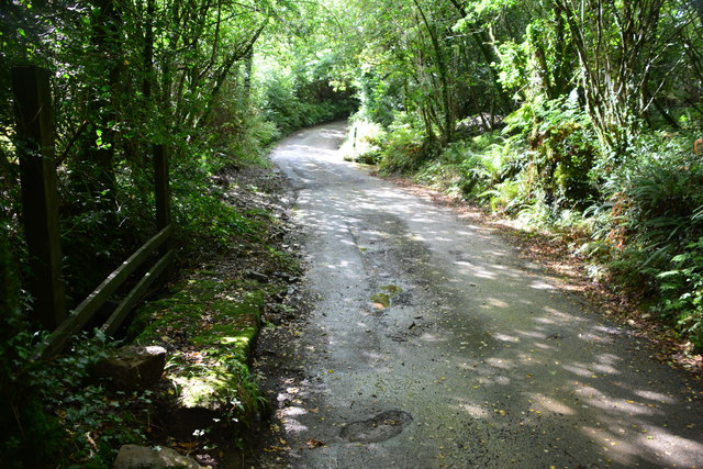
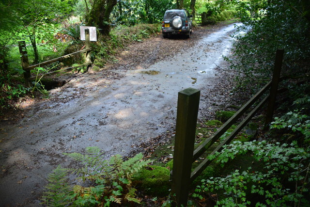
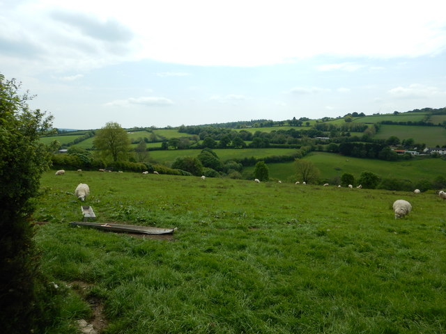
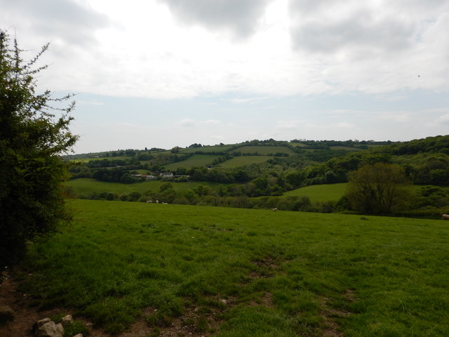
The forest is characterized by lush greenery, towering trees, and a vibrant undergrowth, creating a soothing and immersive environment. Visitors can explore a network of well-maintained trails that wind through the forest, providing a chance to discover hidden pockets of beauty and enjoy the peaceful ambiance. Wildflowers, moss-covered rocks, and trickling streams add to the charm of Beneath Wood, creating a truly magical experience.
The forest is home to a variety of wildlife, including deer, foxes, badgers, and an array of bird species. Birdwatchers can spot species such as woodpeckers, owls, and thrushes, adding to the allure of the woodland. The diverse ecosystem within Beneath Wood also supports a rich insect population, making it a hotspot for insect enthusiasts and researchers.
In addition to its natural wonders, Beneath Wood offers recreational activities such as camping, picnicking, and photography. The forest provides designated camping areas where visitors can enjoy a night under the stars, immersing themselves in the serene atmosphere. With its stunning landscapes and abundant wildlife, Beneath Wood, Cornwall is a must-visit destination for nature lovers seeking a peaceful and rejuvenating experience in the heart of nature.
If you have any feedback on the listing, please let us know in the comments section below.
Beneath Wood Images
Images are sourced within 2km of 50.525517/-4.3957804 or Grid Reference SX3072. Thanks to Geograph Open Source API. All images are credited.


Beneath Wood is located at Grid Ref: SX3072 (Lat: 50.525517, Lng: -4.3957804)
Unitary Authority: Cornwall
Police Authority: Devon and Cornwall
What 3 Words
///roughness.scan.snipped. Near Pensilva, Cornwall
Nearby Locations
Related Wikis
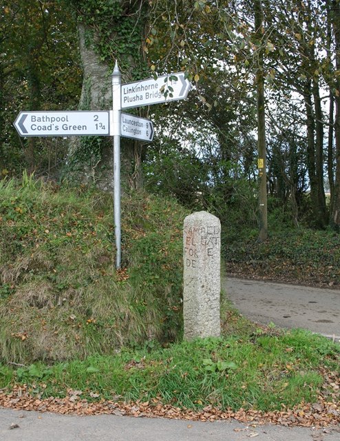
Plushabridge
Plushabridge is a hamlet in the parish of Linkinhorne in east Cornwall, England. == References ==
Rilla Mill
Rilla Mill (Cornish: Melin Reslegh) is a village in Cornwall, England. It is about one and half miles west of Linkinhorne. == References ==

Rillaton
Rillaton (Cornish: Reslegh) is a hamlet in the parish of Linkinhorne in Cornwall, England. Nearby is the Bronze Age round barrow where the Rillaton Gold...

Netherton, Cornwall
Netherton is a hamlet in the parish of Linkinhorne, Cornwall, England. == References ==
Have you been to Beneath Wood?
Leave your review of Beneath Wood below (or comments, questions and feedback).