Ashlake Wood
Wood, Forest in Cornwall
England
Ashlake Wood
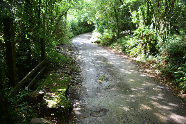
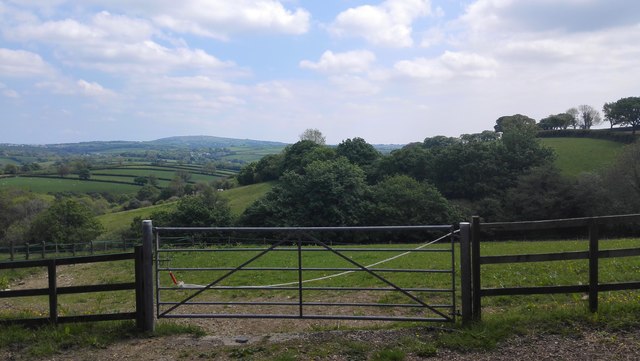
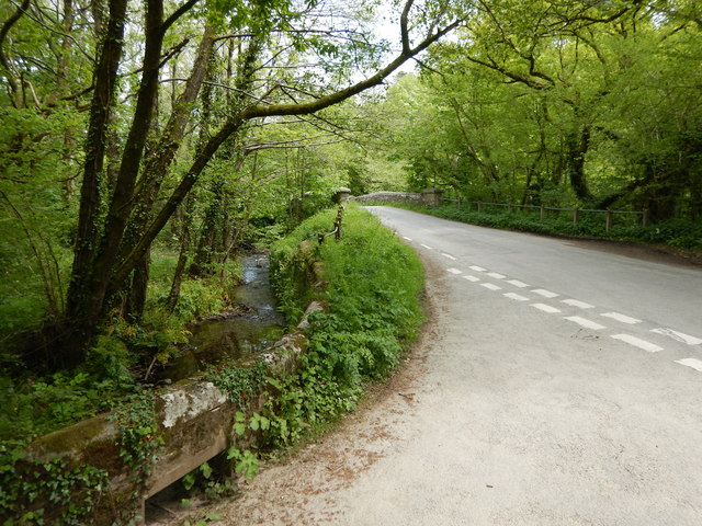
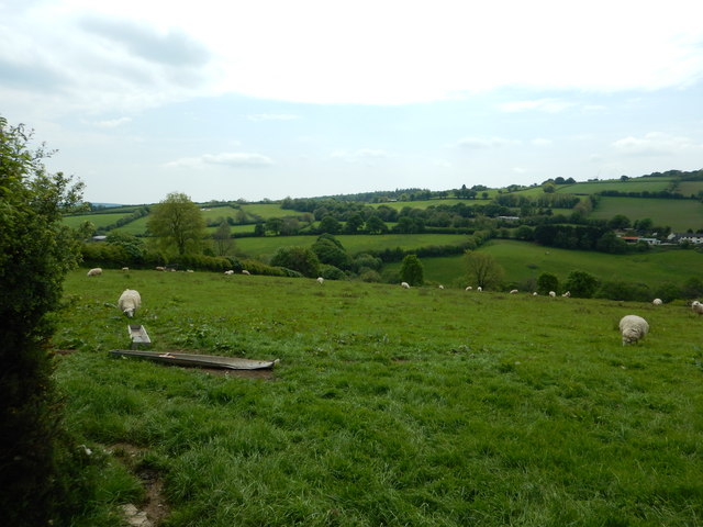
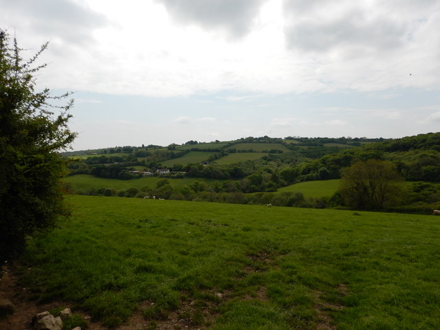
Ashlake Wood is a picturesque forest located in Cornwall, England. Covering an area of approximately 300 acres, it is an enchanting natural landscape that attracts nature enthusiasts and hikers alike. The wood is situated near the village of Ashlake, in close proximity to the charming town of Bodmin.
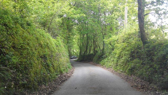
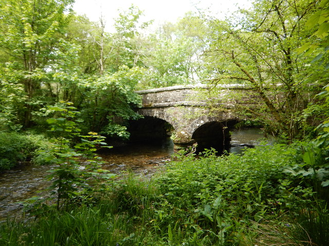
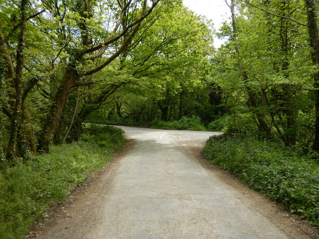
This woodland is characterized by its dense canopy of mature trees, predominantly consisting of native species such as oak, beech, and ash. The towering trees create a serene atmosphere, providing shade and shelter for a diverse range of wildlife. The forest floor is adorned with a rich carpet of wildflowers, ferns, and mosses, adding to the enchanting beauty of the wood.
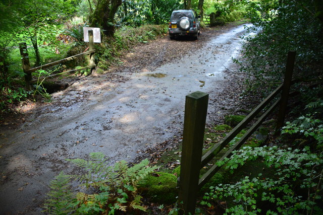
A network of well-maintained trails meanders through Ashlake Wood, allowing visitors to explore its natural wonders at their own pace. Along these paths, one may encounter various species of birds, including woodpeckers and owls, as well as small mammals such as squirrels and deer.
Ashlake Wood offers a tranquil escape from the hustle and bustle of everyday life. Many visitors find solace in its peaceful ambiance and take advantage of the opportunity to disconnect from technology and reconnect with nature. The wood is also a popular destination for photographers, who are drawn to its breathtaking vistas and the interplay of light and shadow beneath the canopy.
Overall, Ashlake Wood is a hidden gem in Cornwall, providing a haven for wildlife and a sanctuary for those seeking a respite in the heart of nature.
If you have any feedback on the listing, please let us know in the comments section below.
Ashlake Wood Images
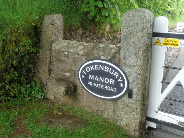
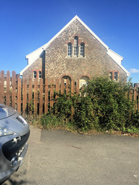
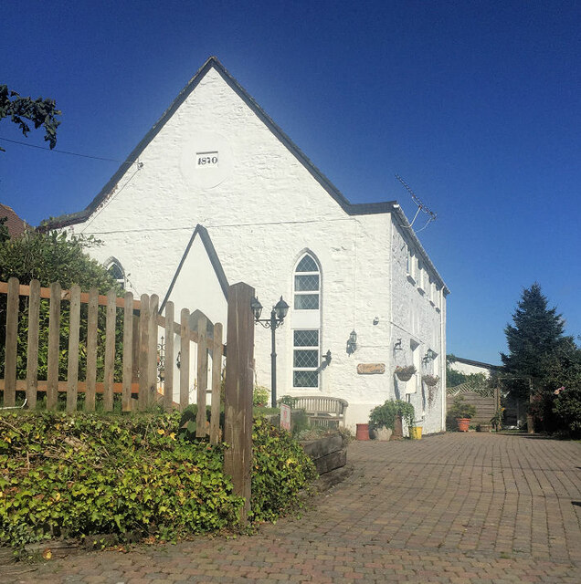
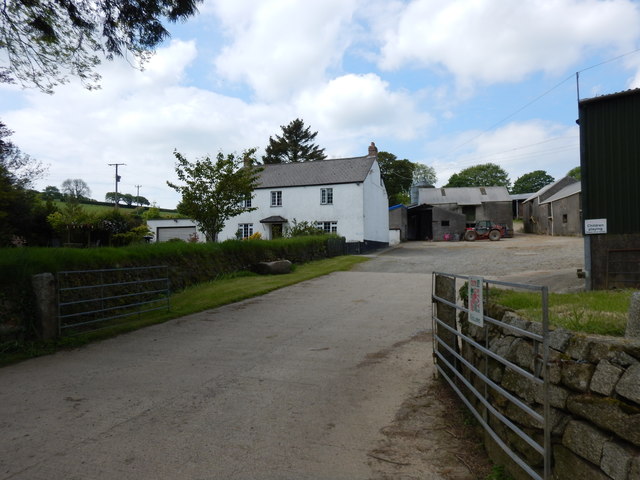
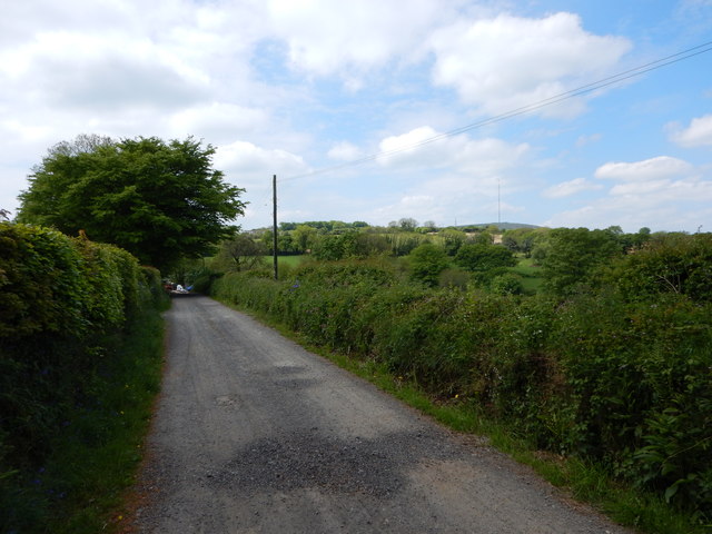
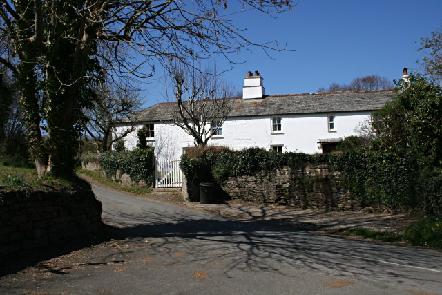
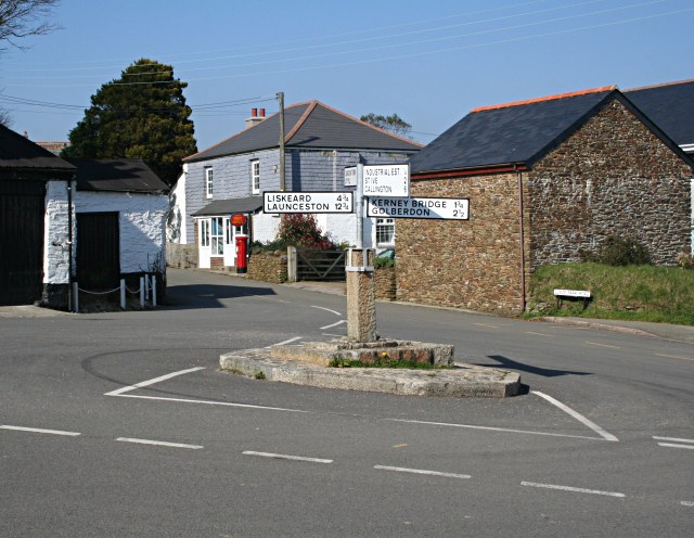
Images are sourced within 2km of 50.517058/-4.3964241 or Grid Reference SX3071. Thanks to Geograph Open Source API. All images are credited.


Ashlake Wood is located at Grid Ref: SX3071 (Lat: 50.517058, Lng: -4.3964241)
Unitary Authority: Cornwall
Police Authority: Devon and Cornwall
What 3 Words
///nature.crunches.families. Near Pensilva, Cornwall
Nearby Locations
Related Wikis
Plushabridge
Plushabridge is a hamlet in the parish of Linkinhorne in east Cornwall, England. == References ==
Pensilva
Pensilva (Cornish: Pennsilva) is a village in the civil parish of St Ive and Pensilva, in east Cornwall, England, United Kingdom. It is at OS grid ref...
Rilla Mill
Rilla Mill (Cornish: Melin Reslegh) is a village in Cornwall, England. It is about one and half miles west of Linkinhorne. == References ==

Netherton, Cornwall
Netherton is a hamlet in the parish of Linkinhorne, Cornwall, England. == References ==
Nearby Amenities
Located within 500m of 50.517058,-4.3964241Have you been to Ashlake Wood?
Leave your review of Ashlake Wood below (or comments, questions and feedback).