Beardon Wood
Wood, Forest in Cornwall
England
Beardon Wood
The requested URL returned error: 429 Too Many Requests
If you have any feedback on the listing, please let us know in the comments section below.
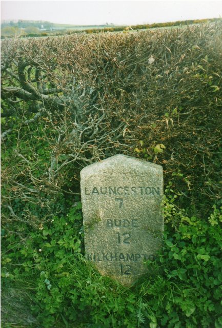
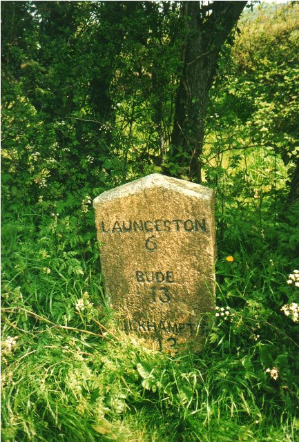
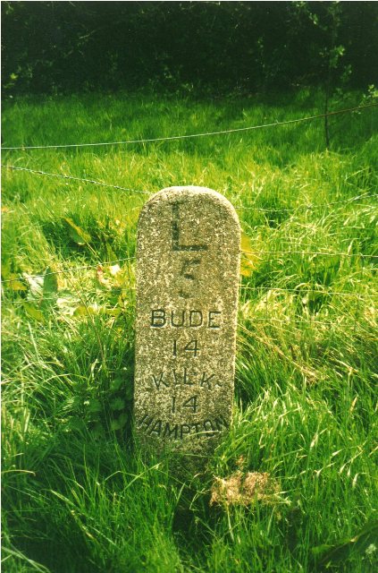
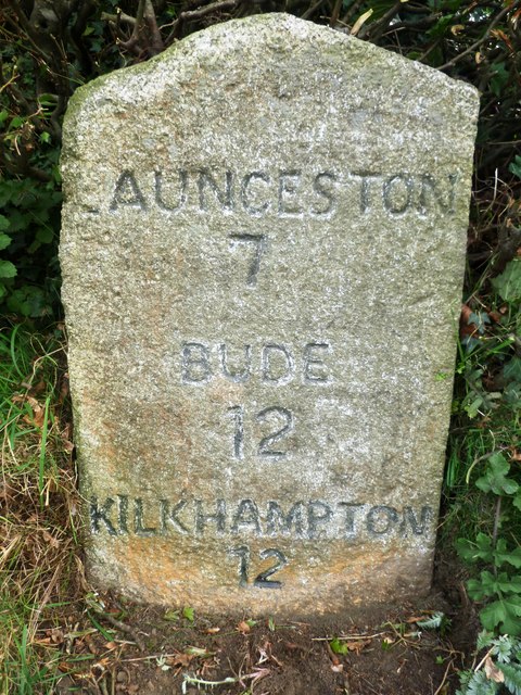
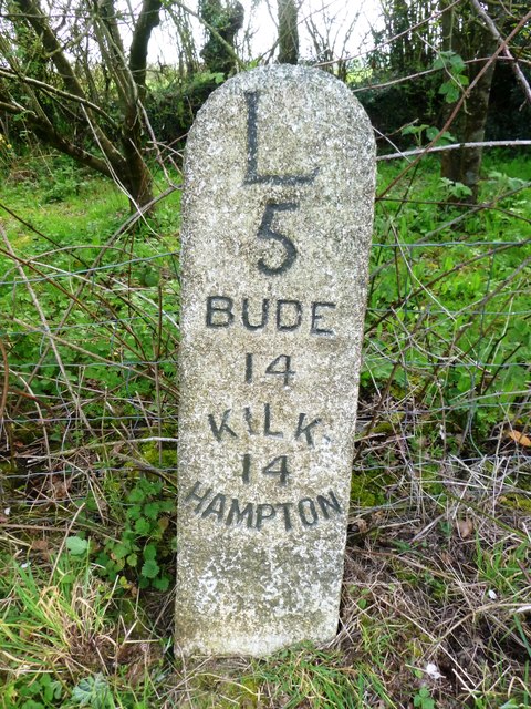
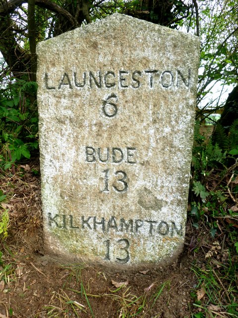
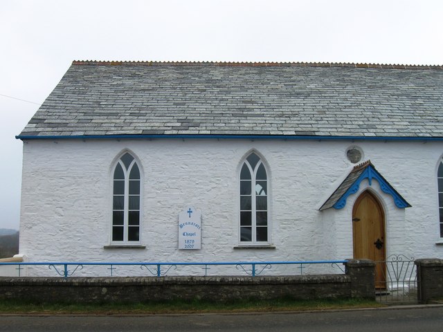
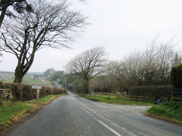
Beardon Wood Images
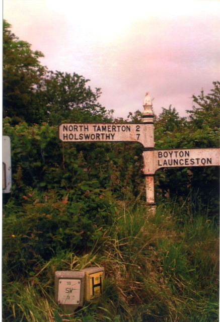
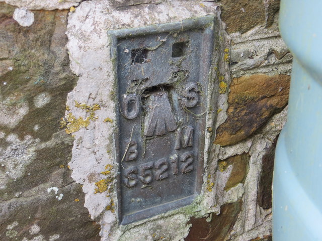
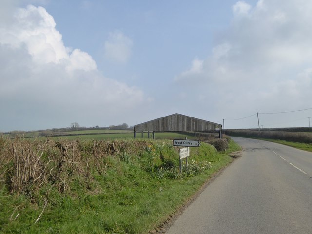
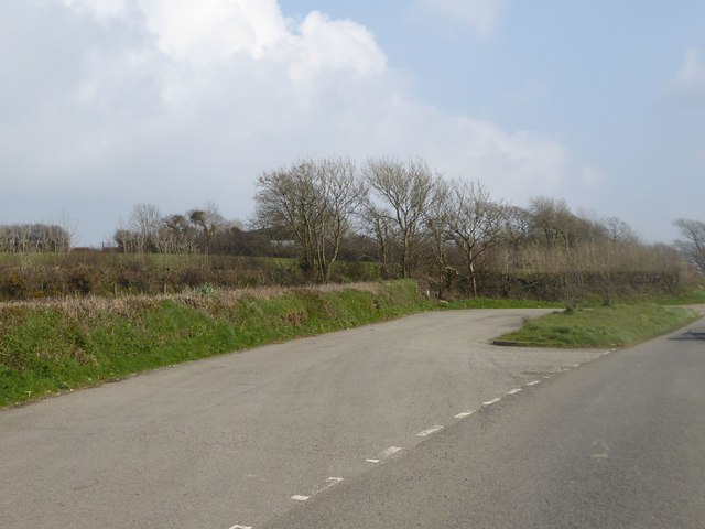
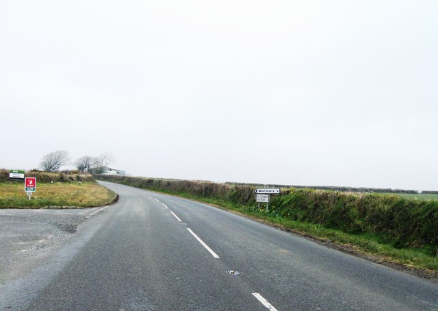
Images are sourced within 2km of 50.713238/-4.4106126 or Grid Reference SX2993. Thanks to Geograph Open Source API. All images are credited.


Beardon Wood is located at Grid Ref: SX2993 (Lat: 50.713238, Lng: -4.4106126)
Unitary Authority: Cornwall
Police Authority: Devon and Cornwall
What 3 Words
///commented.thrilled.aboard. Near Boyton, Cornwall
Nearby Locations
Related Wikis

Curry Lane
Curry Lane is a hamlet in the parish of Boyton Cornwall, England. == References ==

North Beer
North Beer is a hamlet in the parish of Boyton in north Cornwall, England. North Beer is west of Boyton. == References ==

West Curry
West Curry (Cornish: Kori Veur) is a farm north of Bennacott in north Cornwall, England, UK.It appears in the Domesday Book (1086) as Chori, where in 1086...

Bennacott
Bennacott is a village in east Cornwall, England, in the United Kingdom. It is five miles (8 km) north of Launceston and in the parish of Boyton. ��2...
Nearby Amenities
Located within 500m of 50.713238,-4.4106126Have you been to Beardon Wood?
Leave your review of Beardon Wood below (or comments, questions and feedback).