Beardon Plantation

Wood, Forest in Cornwall

England

Beardon Plantation

Old Direction Sign - Signpost by Hornacott Cross, Boyton parish Cone finial - bottom arm  missing completely; by the UC road, in parish of Boyton (North Cornwall District), Hornacott Cross.

Cornwall & Scilly HER.
HER Number: MCO57751 <span class="nowrap"><a title="https://www.heritagegateway.org.uk/Gateway/Results_Single.aspx?uid=MCO57751&resourceID=1020" rel="nofollow ugc noopener" href="https://www.heritagegateway.org.uk/Gateway/Results_Single.aspx?uid=MCO57751&resourceID=1020">Link</a><img style="margin-left:2px;" alt="External link" title="External link - shift click to open in new window" src="https://s1.geograph.org.uk/img/external.png" width="10" height="10"/></span>

Surveyed

Milestone Society National ID: CW_SX3094
Old Direction Sign - Signpost by Hornacott Cross, Boyton parish Credit: Milestone Society

Beardon Plantation is a charming woodland located in Cornwall, England. Nestled amidst the picturesque countryside, this plantation is a haven for nature enthusiasts and those seeking tranquility away from the bustling city life.

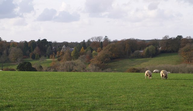
The plantation covers an expansive area of woodland, encompassing a variety of trees, including oak, beech, and pine. These trees create a dense canopy, providing shade and shelter to the diverse flora and fauna that call this place home. The forest floor is adorned with a carpet of vibrant wildflowers, adding a splash of color to the serene surroundings.

Beardon Plantation offers numerous walking trails, allowing visitors to explore the beauty of the woods at their own pace. These trails meander through the plantation, offering breathtaking views of the rolling hills and meadows beyond. The peaceful ambiance of the woodland is further enhanced by the melodic sounds of birdsong that fill the air.

The plantation also boasts a rich history, dating back several centuries. It was originally part of an estate owned by a local noble family, and remnants of old stone walls and crumbling structures can still be found scattered throughout the woodland. These remnants serve as a reminder of the area's past and add an element of intrigue to the overall experience.

Beardon Plantation is a popular destination for outdoor activities such as picnicking, birdwatching, and photography. Its idyllic setting makes it an ideal spot for individuals and families to relax and reconnect with nature. Whether one is seeking solitude or an adventure in the wilderness, Beardon Plantation offers an unforgettable experience in the heart of Cornwall.

If you have any feedback on the listing, please let us know in the comments section below.

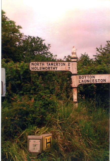
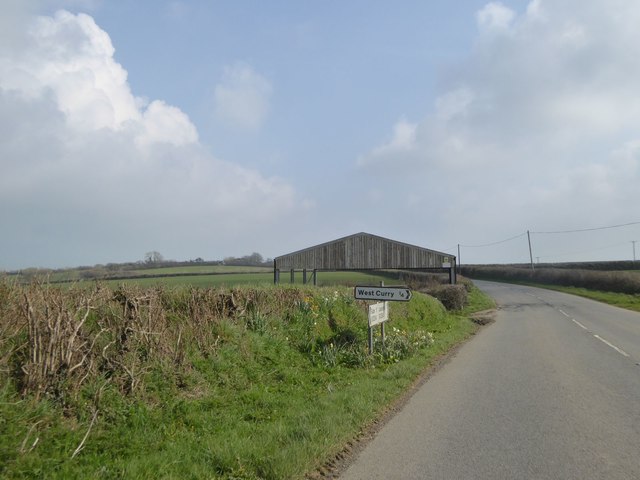
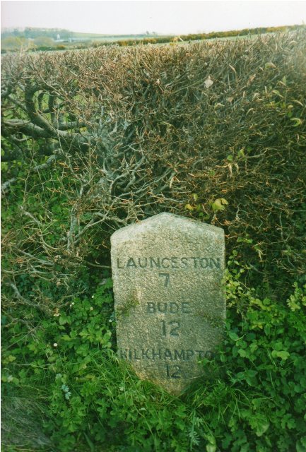
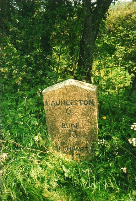
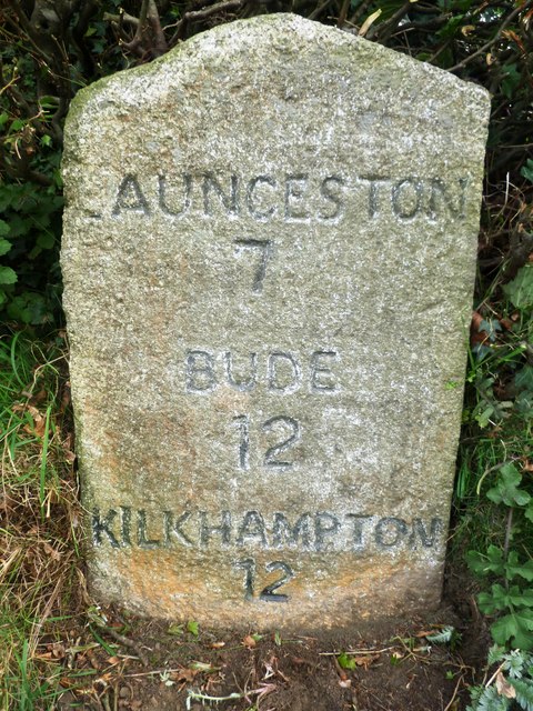
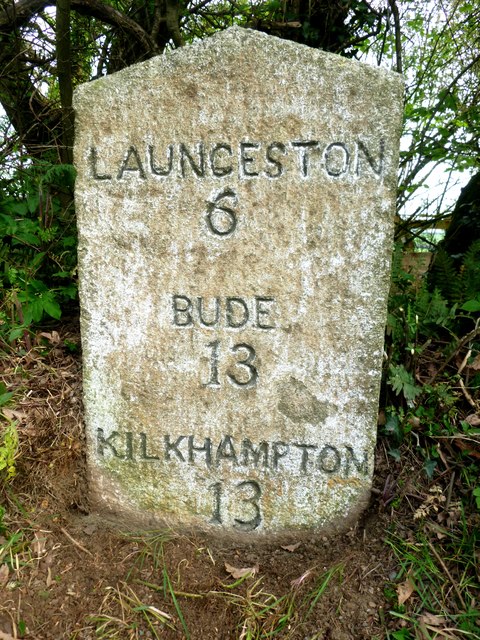
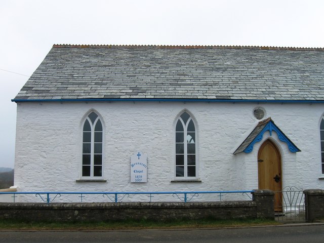
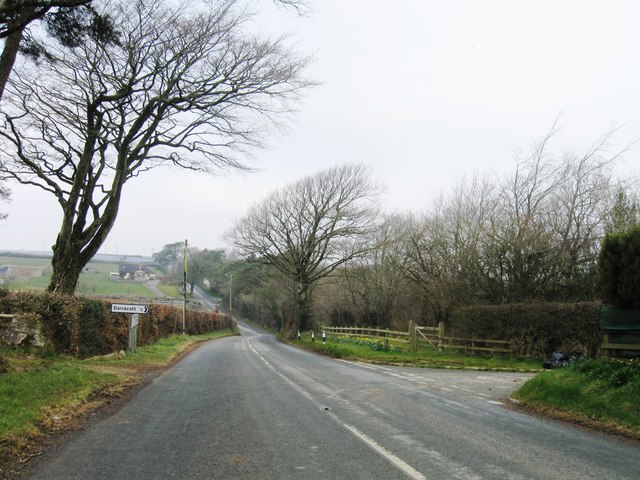
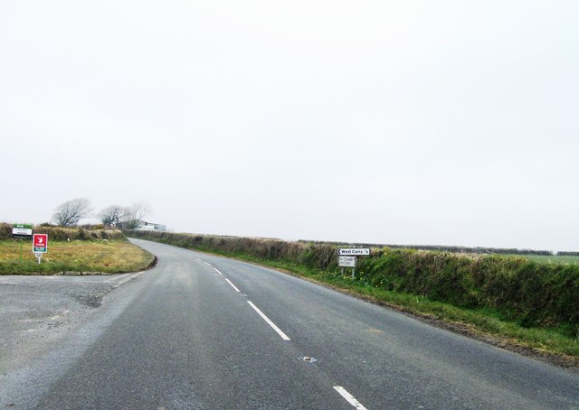
Beardon Plantation Images

Images are sourced within 2km of 50.72264/-4.41434 or Grid Reference SX2994. Thanks to Geograph Open Source API. All images are credited.

Old Direction Sign - Signpost by Hornacott Cross, Boyton parish Cone finial - bottom arm  missing completely; by the UC road, in parish of Boyton (North Cornwall District), Hornacott Cross.

Cornwall & Scilly HER.
HER Number: MCO57751 <span class="nowrap"><a title="https://www.heritagegateway.org.uk/Gateway/Results_Single.aspx?uid=MCO57751&resourceID=1020" rel="nofollow ugc noopener" href="https://www.heritagegateway.org.uk/Gateway/Results_Single.aspx?uid=MCO57751&resourceID=1020">Link</a><img style="margin-left:2px;" alt="External link" title="External link - shift click to open in new window" src="https://s1.geograph.org.uk/img/external.png" width="10" height="10"/></span>

Surveyed

Milestone Society National ID: CW_SX3094
Old Direction Sign - Signpost by Hornacott Cross, Boyton parish
Cone finial - bottom arm missing completely; by the UC road, in parish of Boyton (North Cornwall District), Hornacott Cross. Cornwall & Scilly HER. HER Number: MCO57751 LinkExternal link Surveyed Milestone Society National ID: CW_SX3094
Open barn at junction for West Curry
Lay-by near Curry Lane This lay-by was created as a result of road realignment; formerly the road had two moderately sharp bends, now it has moderate bends
Lay-by near Curry Lane
This lay-by was created as a result of road realignment; formerly the road had two moderately sharp bends, now it has moderate bends
Old Milestone by the B3254 near West Curry Carved stone post by the B3254, in parish of BOYTON (NORTH CORNWALL District), Parkhurst, West Curry, against hedge on bend, on East side of road. Kilkhampton County stone, erected by the Local Highways Board in the 19th century. 

Inscription reads:-
LAUNCESTON
7
BUDE
12
KILKHAMPTON
12 

Milestone Society National ID: CW_KHLA12.
Old Milestone by the B3254 near West Curry
Carved stone post by the B3254, in parish of BOYTON (NORTH CORNWALL District), Parkhurst, West Curry, against hedge on bend, on East side of road. Kilkhampton County stone, erected by the Local Highways Board in the 19th century. Inscription reads:- LAUNCESTON 7 BUDE 12 KILKHAMPTON 12 Milestone Society National ID: CW_KHLA12.
Old Milestone by the B3254, north of Bennacott Carved stone post by the B3254, in parish of BOYTON (NORTH CORNWALL District), The Grange, 100m North West of Daracott cottage, in hedge on narrow section of road, on East side of road. Kilkhampton County stone, erected by the Local Highways Board in the 19th century. 

Inscription reads:-
LAUNCESTON
6
BUDE
13
KILKHAMPTON
13   

Grade II Listed. List Entry Number: 1142940
<span class="nowrap"><a title="https://historicengland.org.uk/listing/the-list/list-entry/1142940" rel="nofollow ugc noopener" href="https://historicengland.org.uk/listing/the-list/list-entry/1142940">Link</a><img style="margin-left:2px;" alt="External link" title="External link - shift click to open in new window" src="https://s1.geograph.org.uk/img/external.png" width="10" height="10"/></span>

Milestone Society National ID: CW_KHLA13.
Old Milestone by the B3254, north of Bennacott
Carved stone post by the B3254, in parish of BOYTON (NORTH CORNWALL District), The Grange, 100m North West of Daracott cottage, in hedge on narrow section of road, on East side of road. Kilkhampton County stone, erected by the Local Highways Board in the 19th century. Inscription reads:- LAUNCESTON 6 BUDE 13 KILKHAMPTON 13 Grade II Listed. List Entry Number: 1142940 LinkExternal link Milestone Society National ID: CW_KHLA13.
Old Milestone by the B3254, near West Curry Carved stone post by the B3254, in parish of BOYTON (NORTH CORNWALL District), Parkhurst, West Curry, against hedge on bend, on East side of road. Kilkhampton County stone, erected by the Local Highways Board in the 19th century. 

Inscription reads:-
LAUNCESTON
7
BUDE
12
KILKHAMPTON
12 

Cornwall & Scilly HER.
HER Number: 176713 <span class="nowrap"><a title="https://www.heritagegateway.org.uk/Gateway/Results_Single.aspx?uid=MCO52524&resourceID=1020" rel="nofollow ugc noopener" href="https://www.heritagegateway.org.uk/Gateway/Results_Single.aspx?uid=MCO52524&resourceID=1020">Link</a><img style="margin-left:2px;" alt="External link" title="External link - shift click to open in new window" src="https://s1.geograph.org.uk/img/external.png" width="10" height="10"/></span>

Milestone Society National ID: CW_KHLA12.
Old Milestone by the B3254, near West Curry
Carved stone post by the B3254, in parish of BOYTON (NORTH CORNWALL District), Parkhurst, West Curry, against hedge on bend, on East side of road. Kilkhampton County stone, erected by the Local Highways Board in the 19th century. Inscription reads:- LAUNCESTON 7 BUDE 12 KILKHAMPTON 12 Cornwall & Scilly HER. HER Number: 176713 LinkExternal link Milestone Society National ID: CW_KHLA12.
Old Milestone by the B3254, north of Bennacott Carved stone post by the B3254, in parish of BOYTON (NORTH CORNWALL District), The Grange, 100m Northwest of Daracott Cottage, in hedge on narrow section of road, on East side of road. Kilkhampton County stone, erected by the Local Highways Board in the 19th century. 

Inscription reads:-
LAUNCESTON
6
BUDE
13
KILKHAMPTON
13 

Grade II listed.
List Entry Number: 1142940 <span class="nowrap"><a title="https://historicengland.org.uk/listing/the-list/list-entry/1142940" rel="nofollow ugc noopener" href="https://historicengland.org.uk/listing/the-list/list-entry/1142940">Link</a><img style="margin-left:2px;" alt="External link" title="External link - shift click to open in new window" src="https://s1.geograph.org.uk/img/external.png" width="10" height="10"/></span>

Milestone Society National ID: CW_KHLA13.
Old Milestone by the B3254, north of Bennacott
Carved stone post by the B3254, in parish of BOYTON (NORTH CORNWALL District), The Grange, 100m Northwest of Daracott Cottage, in hedge on narrow section of road, on East side of road. Kilkhampton County stone, erected by the Local Highways Board in the 19th century. Inscription reads:- LAUNCESTON 6 BUDE 13 KILKHAMPTON 13 Grade II listed. List Entry Number: 1142940 LinkExternal link Milestone Society National ID: CW_KHLA13.
Bennacott Chapel
Bennacott Chapel
B3254 northbound
B3254 northbound
B3254 northbound
B3254 northbound
Road past Bradcott The lane runs along high land between Boyton and North Tamerton; here it dips slightly on the stretch between Bradridge and Hornacott.
Road past Bradcott
The lane runs along high land between Boyton and North Tamerton; here it dips slightly on the stretch between Bradridge and Hornacott.
Roadside near Hornacott A wide verge, a ditch tucked away below the hedge bank, and the road to Boyton heading away; the only fragment of the square publicly accessible.
Roadside near Hornacott
A wide verge, a ditch tucked away below the hedge bank, and the road to Boyton heading away; the only fragment of the square publicly accessible.
Field near Hornacott Farm Looking east from the lane between Boyton and North Tamerton across a field to trees around the source of a stream, which joins with others to form a small tributary of the Tamar.
Field near Hornacott Farm
Looking east from the lane between Boyton and North Tamerton across a field to trees around the source of a stream, which joins with others to form a small tributary of the Tamar.
Ogbeare Hall A distant glimpse of the mansion, part C15 but substantially rebuilt in the C19, from the lane between Hornacott Farm and North Tamerton. The house is on the north side of a steep little valley, part of which forms some of its grounds, and which drains into the Tamar.
Ogbeare Hall
A distant glimpse of the mansion, part C15 but substantially rebuilt in the C19, from the lane between Hornacott Farm and North Tamerton. The house is on the north side of a steep little valley, part of which forms some of its grounds, and which drains into the Tamar.
Valley of Tala Water The valley drains away from the camera. In this gently-dropping stretch, trees are restricted to the field boundaries, especially along the stream itself and the edge of meadows running along the left bank. Seen from near Darracott at a corner of the no through lane which ends at Beardon Mill.
Valley of Tala Water
The valley drains away from the camera. In this gently-dropping stretch, trees are restricted to the field boundaries, especially along the stream itself and the edge of meadows running along the left bank. Seen from near Darracott at a corner of the no through lane which ends at Beardon Mill.
Beardon Mill The mill cottage is at the end of a leat above the Tala Water. The slope between the leat and the river (to the left of the scene) is steep and wooded; the mill is placed where the valley opens out downstream (see <a href="https://www.geograph.org.uk/photo/608478">SX3092 : Valley of Tala Water</a>). The lane, from Darracott, reaches its conclusion just beyond the cottage.
Beardon Mill
The mill cottage is at the end of a leat above the Tala Water. The slope between the leat and the river (to the left of the scene) is steep and wooded; the mill is placed where the valley opens out downstream (see SX3092 : Valley of Tala Water). The lane, from Darracott, reaches its conclusion just beyond the cottage.
Track from Beardon Barton The track, followed by the footpath to the lane near Villaton Farm, passes a gateway at the northern edge of the square.
Track from Beardon Barton
The track, followed by the footpath to the lane near Villaton Farm, passes a gateway at the northern edge of the square.
Lane at Beardon Mill This corner under the beeches is the beginning of the public lane past <a href="https://www.geograph.org.uk/photo/608480">SX3093 : Beardon Mill</a>, which is just round the corner, and over the bridge in the background, climbing past the point at which that photo was taken. Seen from the footpath following the drive below Beardon Barton farm (up to the right); the right of way continues to the left via Underhill to Boyton.
Lane at Beardon Mill
This corner under the beeches is the beginning of the public lane past SX3093 : Beardon Mill, which is just round the corner, and over the bridge in the background, climbing past the point at which that photo was taken. Seen from the footpath following the drive below Beardon Barton farm (up to the right); the right of way continues to the left via Underhill to Boyton.
Show me another place!

Beardon Plantation is located at Grid Ref: SX2994 (Lat: 50.72264, Lng: -4.41434)

Unitary Authority: Cornwall

Police Authority: Devon and Cornwall

What 3 Words

///bill.ruffling.sublime. Near Boyton, Cornwall

Related Wikis

Curry Lane

Curry Lane is a hamlet in the parish of Boyton Cornwall, England. == References ==

West Curry

West Curry (Cornish: Kori Veur) is a farm north of Bennacott in north Cornwall, England, UK.It appears in the Domesday Book (1086) as Chori, where in 1086...

North Beer

North Beer is a hamlet in the parish of Boyton in north Cornwall, England. North Beer is west of Boyton. == References ==

Bennacott

Bennacott is a village in east Cornwall, England, in the United Kingdom. It is five miles (8 km) north of Launceston and in the parish of Boyton. ��2...

Nearby Amenities

Located within 500m of 50.72264,-4.41434
Power: pole
Lat/Long: 50.7244673/-4.4195482
Power: pole
Lat/Long: 50.7232328/-4.4195187
Power: pole
Lat/Long: 50.7219882/-4.4195268
Power: pole
Lat/Long: 50.7211442/-4.4194892
The data included in this document is from www.openstreetmap.org. The data is made available under ODbL.

Have you been to Beardon Plantation?

Leave your review of Beardon Plantation below (or comments, questions and feedback).