Hatt Wood

Wood, Forest in Cornwall

England

Hatt Wood

Stone Stile SX2870 At entrance to drive to Tokenbury Manor, next to a passcode controlled gate for vehicles.        
A single stone projects from each side of a mortared stone wall beside a large wooden gate on the drive to Tokenbury Manor.
Public footpath 627/1/1 gold from end of Goodman’s Lane to Tokenbury Manor
Stone Stile SX2870 Credit: Brian Oldham

Hatt Wood, located in Cornwall, England, is a serene and picturesque forest area that offers visitors a tranquil retreat amidst nature's beauty. Covering an area of approximately 50 acres, this wood is a haven for flora and fauna, attracting nature enthusiasts and hikers alike.

Situated in close proximity to the village of Hatt, the wood is easily accessible, making it a popular destination for locals and tourists. The woodland primarily consists of a diverse mix of deciduous and coniferous trees, such as oak, beech, and pine, which create a captivating landscape throughout the year.

Visitors to Hatt Wood can enjoy a variety of activities. The forest boasts several well-maintained walking trails, ranging from easy strolls to more challenging hikes, catering to all fitness levels. These paths lead visitors through the enchanting woodland, revealing hidden gems like babbling brooks, vibrant wildflowers, and abundant wildlife.

Birdwatchers will be delighted by the multitude of avian species that call Hatt Wood home. The wood provides an ideal habitat for birds, attracting species such as woodpeckers, owls, and warblers, offering birdwatchers ample opportunities for observation and photography.

For those seeking a peaceful spot for a picnic or a moment of reflection, Hatt Wood offers various clearings and seating areas. These serene spots allow visitors to relax and immerse themselves in the natural surroundings, providing a welcome respite from the hustle and bustle of everyday life.

In conclusion, Hatt Wood in Cornwall is a stunning forest destination that offers a range of activities and a chance to reconnect with nature. Its tranquil atmosphere, diverse flora and fauna, and well-maintained trails make it an ideal location for outdoor enthusiasts and those seeking a peaceful retreat.

If you have any feedback on the listing, please let us know in the comments section below.
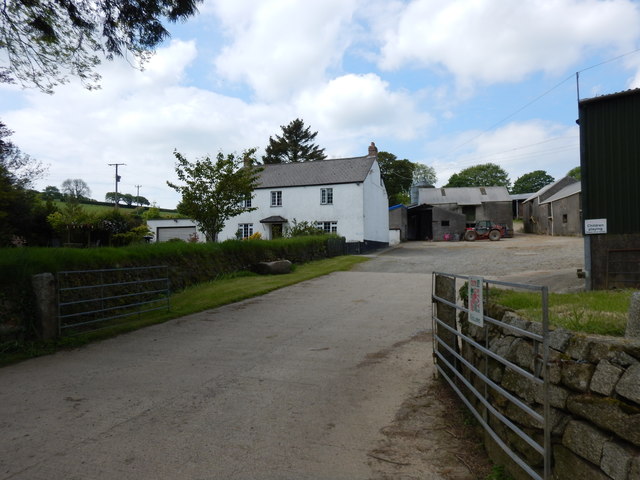
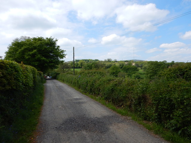
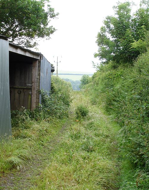
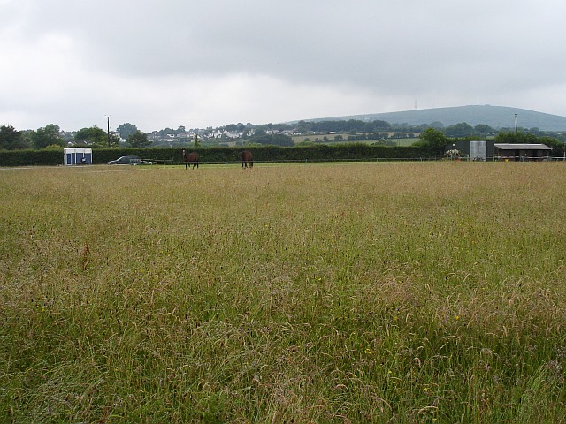
Hatt Wood Images

Images are sourced within 2km of 50.495876/-4.4168554 or Grid Reference SX2869. Thanks to Geograph Open Source API. All images are credited.

Stone Stile SX2870 At entrance to drive to Tokenbury Manor, next to a passcode controlled gate for vehicles.        
A single stone projects from each side of a mortared stone wall beside a large wooden gate on the drive to Tokenbury Manor.
Public footpath 627/1/1 gold from end of Goodman’s Lane to Tokenbury Manor
Stone Stile SX2870
At entrance to drive to Tokenbury Manor, next to a passcode controlled gate for vehicles. A single stone projects from each side of a mortared stone wall beside a large wooden gate on the drive to Tokenbury Manor. Public footpath 627/1/1 gold from end of Goodman’s Lane to Tokenbury Manor
Stone Stile SX2768 On the B3254 between Tokenbury and Rosecraddoc over a wall behind a ditch.
Sheep stile with three protruding stone steps on each side.
Public footpath 625/7/2 (silver) from B3254 East of Newton to Wayland Cottage.
Stone Stile SX2768
On the B3254 between Tokenbury and Rosecraddoc over a wall behind a ditch. Sheep stile with three protruding stone steps on each side. Public footpath 625/7/2 (silver) from B3254 East of Newton to Wayland Cottage.
St John's Church
St John's Church
Former Mission Room now a garage
Former Wesleyan Chapel
Former Bible Christian Chapel
United Methodist Church
Farmhouse and Farmyard near Penharget
Minor Road from Charaton Cross to Plushabridge
Cornish Recycling Van
Green lane off Golberdon Road Near Charaton Cross.
Green lane off Golberdon Road
Near Charaton Cross.
Pasture north of Golberdon Road The village in the middle distance is Pensilva <a href="https://www.geograph.org.uk/gridref/SX2969">SX2969</a>, the communications masts in the far distance are on Caradon Hill (369m) in <a href="https://www.geograph.org.uk/gridref/SX2770">SX2770</a>.
Pasture north of Golberdon Road
The village in the middle distance is Pensilva SX2969, the communications masts in the far distance are on Caradon Hill (369m) in SX2770.
Pensilva - Monument to Mining Workers Pensilva is a mining settlement with the workings on the moorlands.
Pensilva - Monument to Mining Workers
Pensilva is a mining settlement with the workings on the moorlands.
Pensilva Graveyard Recently dug grave and modern gravestones shows the grave yard is still being used.
Pensilva Graveyard
Recently dug grave and modern gravestones shows the grave yard is still being used.
Field near Tokenbury Manor
Tokenbury Manor Home to a major builder.
Tokenbury Manor
Home to a major builder.
Immaculate Driveway to Tokenbury Manor
Pensilva - Rough Road
Show me another place!

Hatt Wood is located at Grid Ref: SX2869 (Lat: 50.495876, Lng: -4.4168554)

Unitary Authority: Cornwall

Police Authority: Devon and Cornwall

What 3 Words

///fines.vibrating.nibbled. Near Pensilva, Cornwall

Related Wikis

Pensilva

Pensilva (Cornish: Pennsilva) is a village in the civil parish of St Ive and Pensilva, in east Cornwall, England, United Kingdom. It is at OS grid ref...

Middlehill, Cornwall

Middlehill is a hamlet in the parish of St Ive and Pensilva, Cornwall, England. == References ==

Downgate, Cornwall

Downgate is a hamlet in east Cornwall, England. It is between Pensilva and Upton Cross. According to the Post Office the 2011 census population was included...

Gang, Cornwall

Gang is a hamlet in the parish of St Ive and Pensilva in east Cornwall, England, UK. == References ==

Nearby Amenities

Located within 500m of 50.495876,-4.4168554
Generator Method: photovoltaic
Generator Output Electricity: yes
Generator Source: solar
Generator Type: solar_photovoltaic_panel
Location: roof
Power: generator
Lat/Long: 50.4977797/-4.4126049
The data included in this document is from www.openstreetmap.org. The data is made available under ODbL.

Have you been to Hatt Wood?

Leave your review of Hatt Wood below (or comments, questions and feedback).