Beepark Copse

Wood, Forest in Cornwall

England

Beepark Copse

Penrose Ford The ford at Penrose has water level monitoring equipment on both sides of the road.
Penrose Ford Credit: John Walton

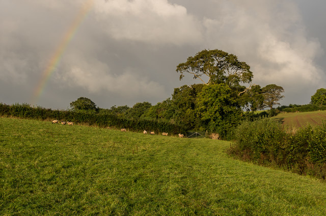
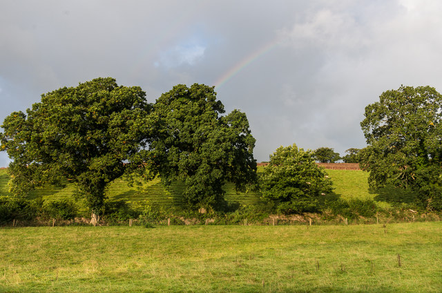
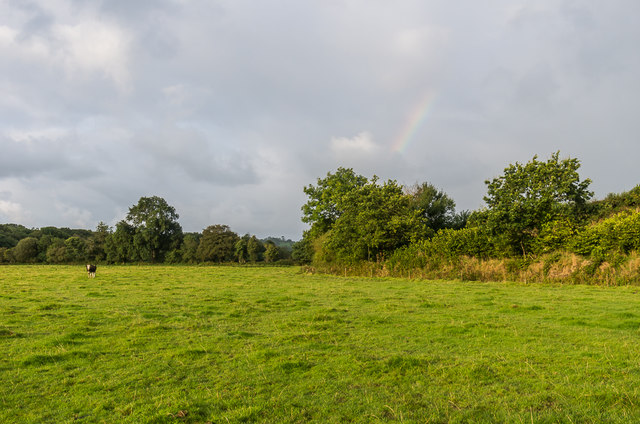
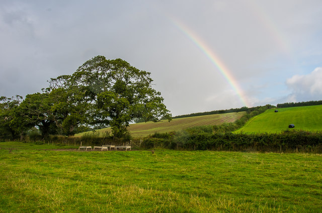
Beepark Copse is a picturesque wood located in Cornwall, a county in southwest England. This enchanting forest covers an area of approximately 50 acres and is nestled in the heart of the Cornish countryside. The copse is known for its diverse range of flora and fauna, making it a haven for nature enthusiasts and wildlife lovers alike.

The woodland is primarily composed of deciduous trees such as oak, beech, and ash, creating a vibrant and ever-changing landscape throughout the seasons. In spring, the copse is adorned with a beautiful carpet of bluebells, creating a breathtaking sight for visitors. As summer approaches, the canopy of the trees provides a cool and shaded retreat from the warm Cornish sun.

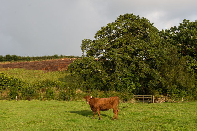
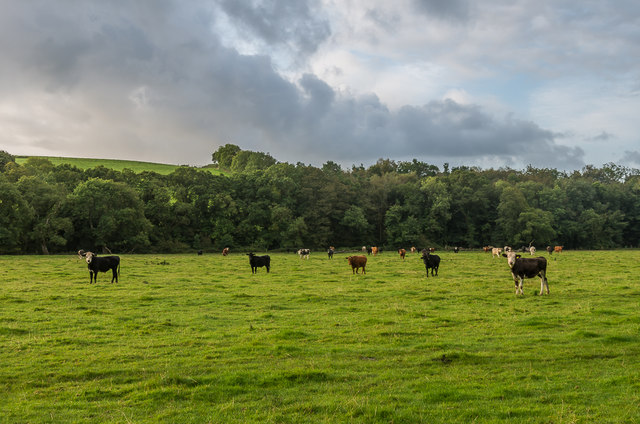
Beepark Copse is home to a myriad of wildlife species, including deer, badgers, and a variety of bird species. Birdwatchers flock to the area to catch a glimpse of the elusive tawny owl or listen to the melodious songs of the blackbird and robin.

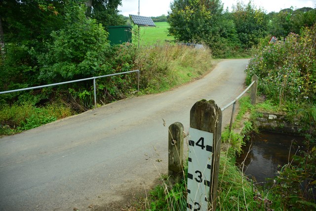
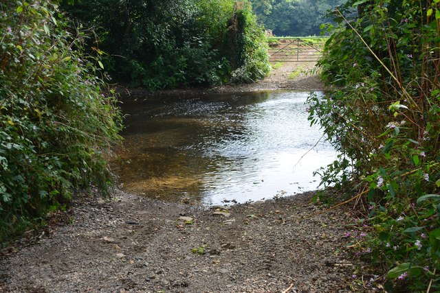
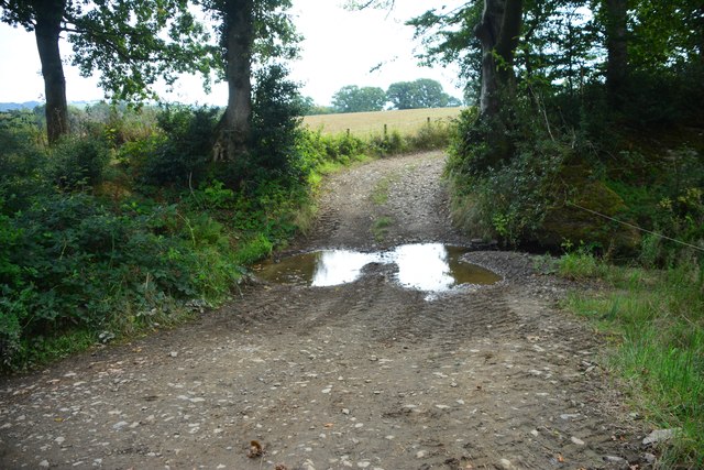
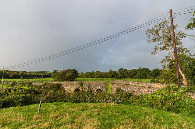
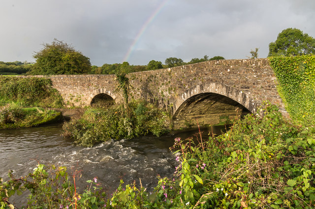
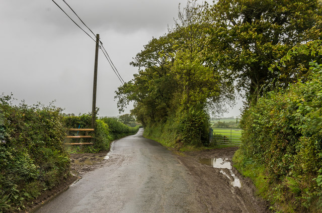
The copse also offers a network of well-maintained footpaths, allowing visitors to explore the woodland at their own pace. These paths meander through the trees, offering stunning views of the surrounding countryside and providing opportunities for peaceful walks and family picnics.

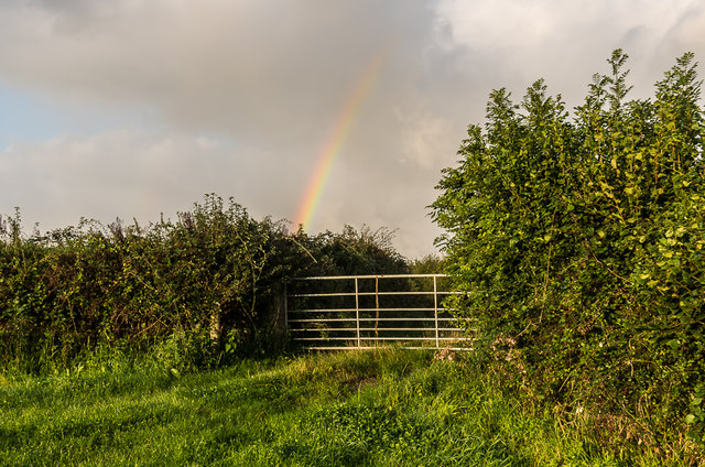
Beepark Copse truly captures the essence of Cornwall's natural beauty, providing a peaceful retreat for those seeking solace in the great outdoors. Whether you are a nature lover, a keen walker, or simply looking to escape the hustle and bustle of daily life, this woodland sanctuary is not to be missed.

If you have any feedback on the listing, please let us know in the comments section below.

Beepark Copse Images

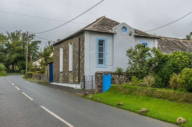
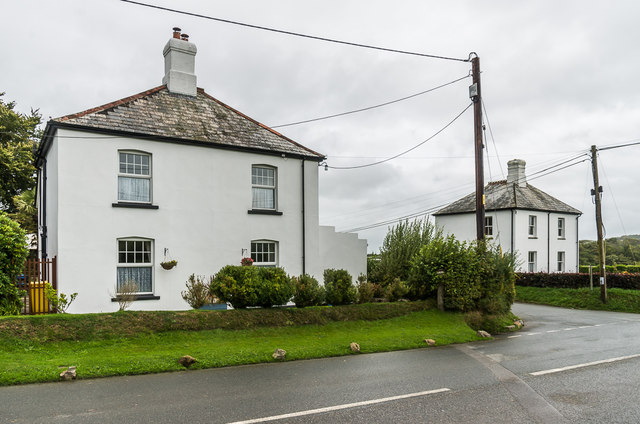
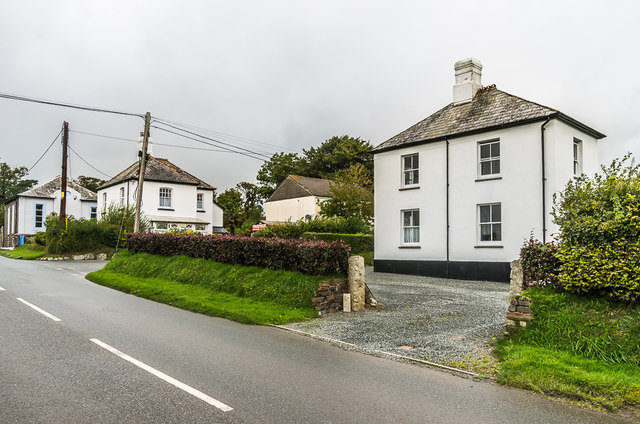
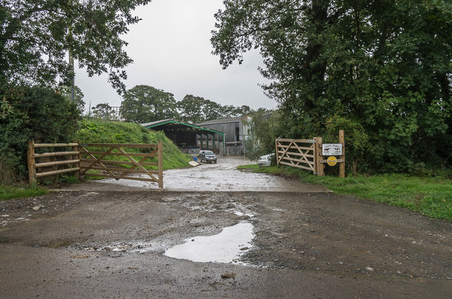
Images are sourced within 2km of 50.662702/-4.4411216 or Grid Reference SX2787. Thanks to Geograph Open Source API. All images are credited.

Penrose Ford The ford at Penrose has water level monitoring equipment on both sides of the road.
Penrose Ford
The ford at Penrose has water level monitoring equipment on both sides of the road.
Ford at Penheale This ford on the River Ottery is found at Penheale.
Ford at Penheale
This ford on the River Ottery is found at Penheale.
Ford at Coombekeale This ford is found beyond the wood yard at Coombekeale.
Ford at Coombekeale
This ford is found beyond the wood yard at Coombekeale.
Gate and rainbow A rainbow above a gate onto a track on Waterloo Farm.
Gate and rainbow
A rainbow above a gate onto a track on Waterloo Farm.
Sheep and rainbow Sheep in a field on Waterloo Farm, with a rainbow in the sky above.
Sheep and rainbow
Sheep in a field on Waterloo Farm, with a rainbow in the sky above.
Live and dead trees Trees on the edge of a field alongside Bolsbridge Water on Waterloo Farm.
Live and dead trees
Trees on the edge of a field alongside Bolsbridge Water on Waterloo Farm.
Field edge trees Trees on the edge of a field alongside Bolsbridge Water on Waterloo Farm, with a rainbow in the sky above.
Field edge trees
Trees on the edge of a field alongside Bolsbridge Water on Waterloo Farm, with a rainbow in the sky above.
Field by River Ottery A bullock in a field alongside the River Ottery, on Waterloo Farm.
Field by River Ottery
A bullock in a field alongside the River Ottery, on Waterloo Farm.
Field by River Ottery Looking along a field alongside the River Ottery, on Waterloo Farm, with a faint rainbow in the sky above.
Field by River Ottery
Looking along a field alongside the River Ottery, on Waterloo Farm, with a faint rainbow in the sky above.
Field by River Ottery A field alongside the River Ottery, on Waterloo Farm, with a rainbow in the sky above.
Field by River Ottery
A field alongside the River Ottery, on Waterloo Farm, with a rainbow in the sky above.
Field by River Ottery A herd of bullocks in a field alongside the River Ottery, on Waterloo Farm.  The river itself runs by the trees in the background.
Field by River Ottery
A herd of bullocks in a field alongside the River Ottery, on Waterloo Farm. The river itself runs by the trees in the background.
Hellescott Bridge Late 18th Century bridge over the River Ottery, widened in the 19th Century.  Grade II listed - see <span class="nowrap"><a title="www.historicengland.org.uk/listing/the-list/list-entry/1142928" rel="nofollow ugc noopener" href="http://www.historicengland.org.uk/listing/the-list/list-entry/1142928">Link</a><img style="margin-left:2px;" alt="External link" title="External link - shift click to open in new window" src="https://s1.geograph.org.uk/img/external.png" width="10" height="10"/></span>.  A rainbow is in the sky in the background.
Hellescott Bridge
Late 18th Century bridge over the River Ottery, widened in the 19th Century. Grade II listed - see LinkExternal link. A rainbow is in the sky in the background.
Egloskerry Methodist Church Mid 19th Century former Methodist Chapel, now converted to housing.  Grade II listed - see <span class="nowrap"><a title="www.historicengland.org.uk/listing/the-list/list-entry/1160078" rel="nofollow ugc noopener" href="http://www.historicengland.org.uk/listing/the-list/list-entry/1160078">Link</a><img style="margin-left:2px;" alt="External link" title="External link - shift click to open in new window" src="https://s1.geograph.org.uk/img/external.png" width="10" height="10"/></span>.
Egloskerry Methodist Church
Mid 19th Century former Methodist Chapel, now converted to housing. Grade II listed - see LinkExternal link.
Endslea House and Trent Villa Matching pair of houses either side to the lane linking Egloskerry and Petherwin.  Old maps suggest that the lane only dates from around the turn of the 19th/20th Centuries, with the houses built around the same time.
Endslea House and Trent Villa
Matching pair of houses either side to the lane linking Egloskerry and Petherwin. Old maps suggest that the lane only dates from around the turn of the 19th/20th Centuries, with the houses built around the same time.
Trent Villa One of a matching pair of houses either side of the lane linking Egloskerry and Petherwin - the other, Endslea House, can be seen beyond.  For closer view of the pair see <a href="https://www.geograph.org.uk/photo/5595120">SX2786 : Endslea House and Trent Villa</a>.  Old maps suggest that the lane only dates from around the turn of the 19th/20th Centuries, with the houses built around the same time.  In the background can be seen Egloskerry Methodist Church - see <a href="https://www.geograph.org.uk/photo/5595116">SX2786 : Egloskerry Methodist Church</a>.
Trent Villa
One of a matching pair of houses either side of the lane linking Egloskerry and Petherwin - the other, Endslea House, can be seen beyond. For closer view of the pair see SX2786 : Endslea House and Trent Villa. Old maps suggest that the lane only dates from around the turn of the 19th/20th Centuries, with the houses built around the same time. In the background can be seen Egloskerry Methodist Church - see SX2786 : Egloskerry Methodist Church.
Hole Farm Dairy farm near Egloskerry.  The development of this part of the farm is recent, not appearing on the 1983-93 1:10,000 map, the original farm being slightly further south.
Hole Farm
Dairy farm near Egloskerry. The development of this part of the farm is recent, not appearing on the 1983-93 1:10,000 map, the original farm being slightly further south.
Lane north of Egloskerry Lane connecting Egloskerry and North Petherwin.  Old maps suggest that the lane only dates from around the turn of the 19th/20th Centuries.
Lane north of Egloskerry
Lane connecting Egloskerry and North Petherwin. Old maps suggest that the lane only dates from around the turn of the 19th/20th Centuries.
Show me another place!

Beepark Copse is located at Grid Ref: SX2787 (Lat: 50.662702, Lng: -4.4411216)

Unitary Authority: Cornwall

Police Authority: Devon and Cornwall

What 3 Words

///typical.alone.inversely. Near Werrington, Cornwall

Related Wikis

Penheale Manor

Penheale Manor is a Grade I listed manor house and historic building one mile north of Egloskerry, Cornwall. == History == The manor was mentioned as...

Egloskerry

Egloskerry (Cornish: Egloskeri) is a village and civil parish in east Cornwall, England, United Kingdom. It is situated approximately five miles (8.0 km...

Badharlick

Badharlick (Cornish: Bos Harlek, meaning Harlek's dwelling) is a hamlet in the parish of Egloskerry, Cornwall, England, United Kingdom, situated halfway...

Trebeath

Trebeath is a hamlet in the parish of Egloskerry, Cornwall, England, United Kingdom. == References == == External links == Media related to Trebeath at...

Have you been to Beepark Copse?

Leave your review of Beepark Copse below (or comments, questions and feedback).