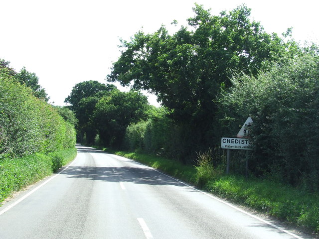
Chediston
Settlement in Suffolk East Suffolk
England
Chediston

Chediston is a small village located in the county of Suffolk, England. Situated approximately 3 miles north of Halesworth, it is nestled amidst the picturesque East Anglian countryside. With a population of around 200 residents, Chediston offers a tranquil and peaceful environment for its inhabitants.
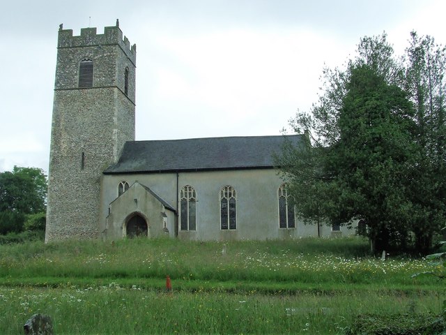
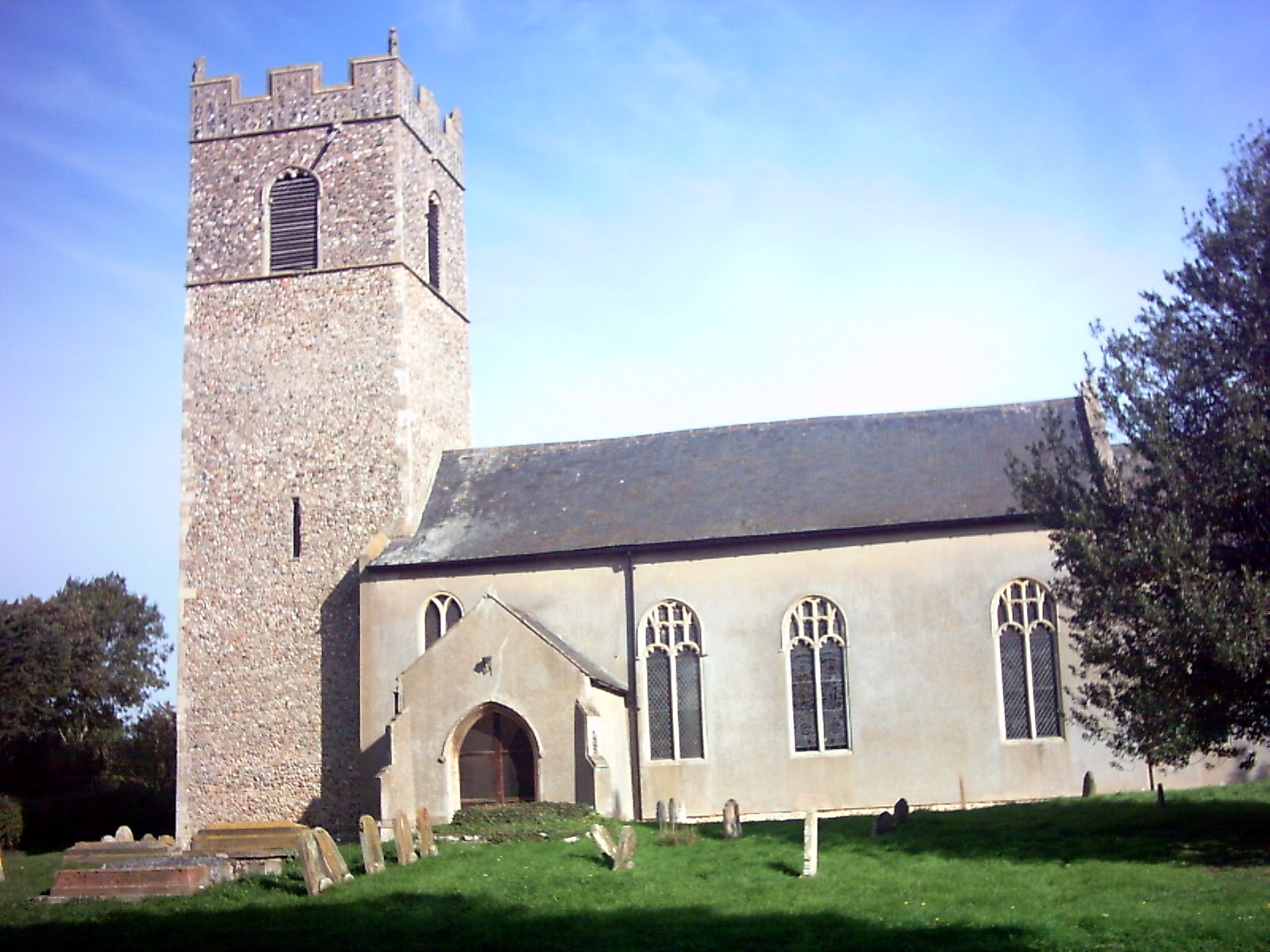
The village is known for its charming and historical buildings, many of which date back to the 16th and 17th centuries. The centerpiece of the village is the magnificent St. Mary's Church, a Grade I listed building that showcases stunning medieval architecture. The church is a testament to the village's rich history and is often visited by both locals and tourists.
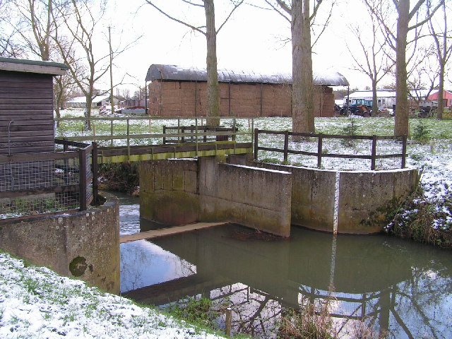
Chediston is surrounded by lush green fields, making it an ideal location for walkers and nature enthusiasts. The village is bordered by the River Blyth, which adds to its scenic beauty and provides opportunities for fishing and boating.
Although Chediston is a small village, it has a strong sense of community. The village hall serves as a gathering place for various social events and activities. The annual Chediston Flower Show is a popular event that brings the community together and showcases the talents of local gardeners and artisans.
For amenities, the village has a primary school and a pub, the Queens Head, which offers a cozy atmosphere and traditional British pub food.
Overall, Chediston is a charming and idyllic village that offers a peaceful retreat from the hustle and bustle of city life. Its rich history, natural beauty, and close-knit community make it a delightful place to reside or visit.
If you have any feedback on the listing, please let us know in the comments section below.
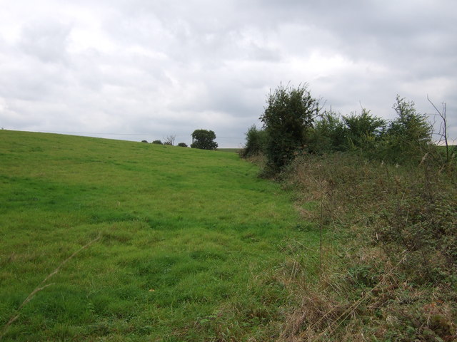
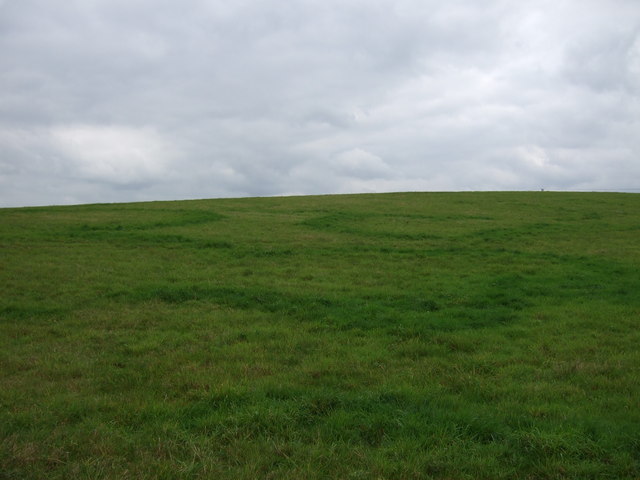
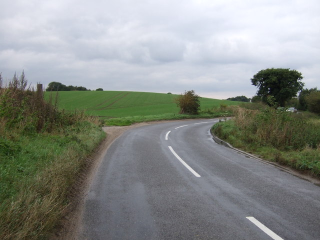
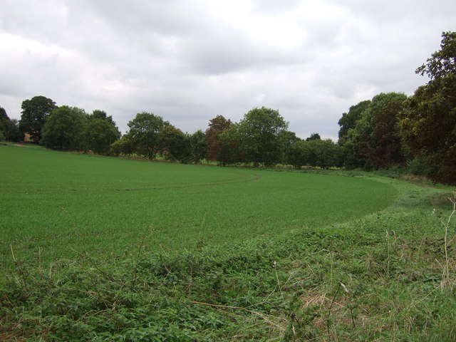
Chediston Images
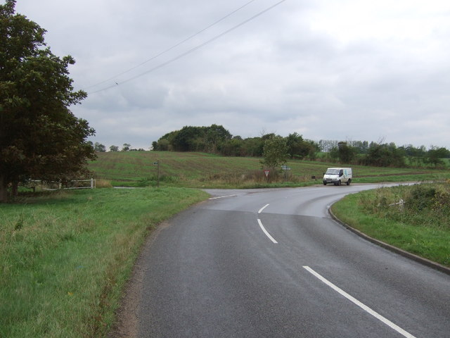
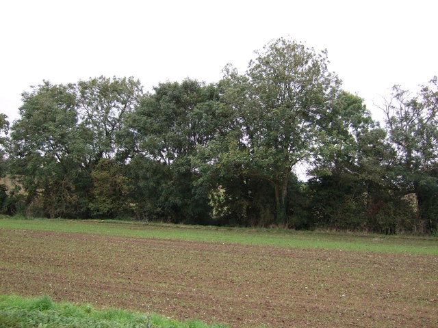
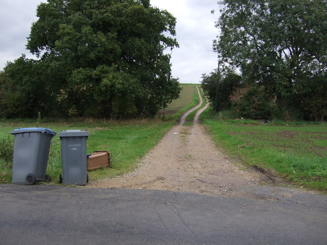
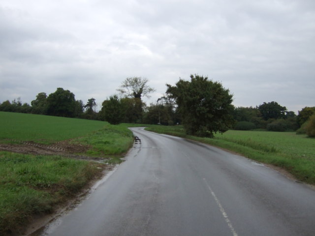
Images are sourced within 2km of 52.347991/1.461774 or Grid Reference TM3577. Thanks to Geograph Open Source API. All images are credited.
![Churchyard, St Andrew's, Wissett [1] The older section of the graveyard, on the south side of the church.](https://s3.geograph.org.uk/geophotos/04/61/58/4615891_7852259b.jpg)

![Churchyard, St Andrew's, Wissett [2] The newer section of the graveyard, on the north side of the church.](https://s0.geograph.org.uk/geophotos/04/61/59/4615900_29eeafb3.jpg)


Chediston is located at Grid Ref: TM3577 (Lat: 52.347991, Lng: 1.461774)
Administrative County: Suffolk
District: East Suffolk
Police Authority: Suffolk
What 3 Words
///drainage.offline.launcher. Near Halesworth, Suffolk
Nearby Locations
Related Wikis
Chediston
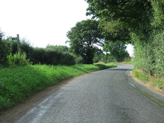
Chediston is a village and a civil parish on the B1123 road, in the East Suffolk district, in the English county of Suffolk. It is located 2 miles west...
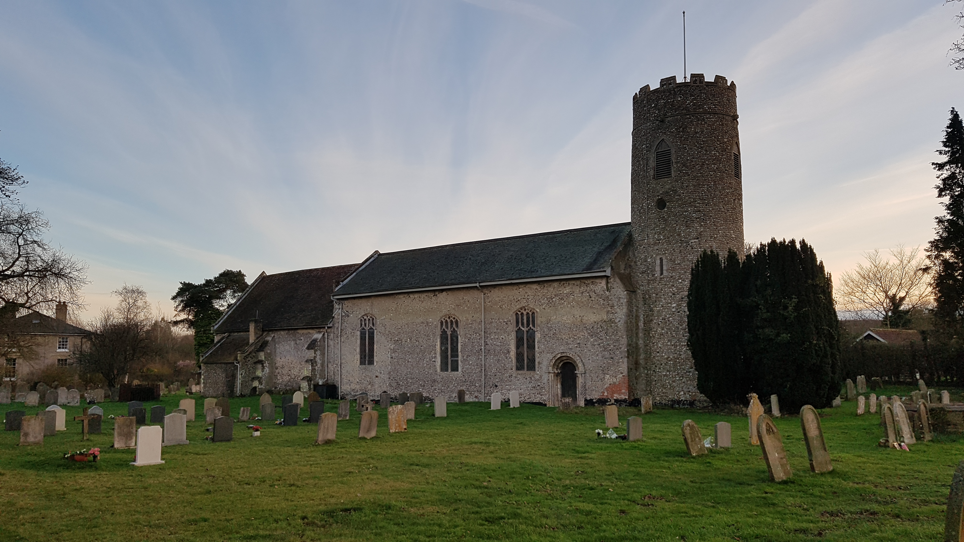
Wissett
Wissett is a village and civil parish in the English county of Suffolk. It is 2 miles (3.2 km) north-east of the market town of Halesworth in the East...

Linstead Parva
Linstead Parva is a small village and civil parish in the East Suffolk district of Suffolk in eastern England. It has a small but notable 13th-century...

Cookley, Suffolk
Cookley is a small village and civil parish in the East Suffolk district, in the east of the county of Suffolk, England. Nearby settlements include the...
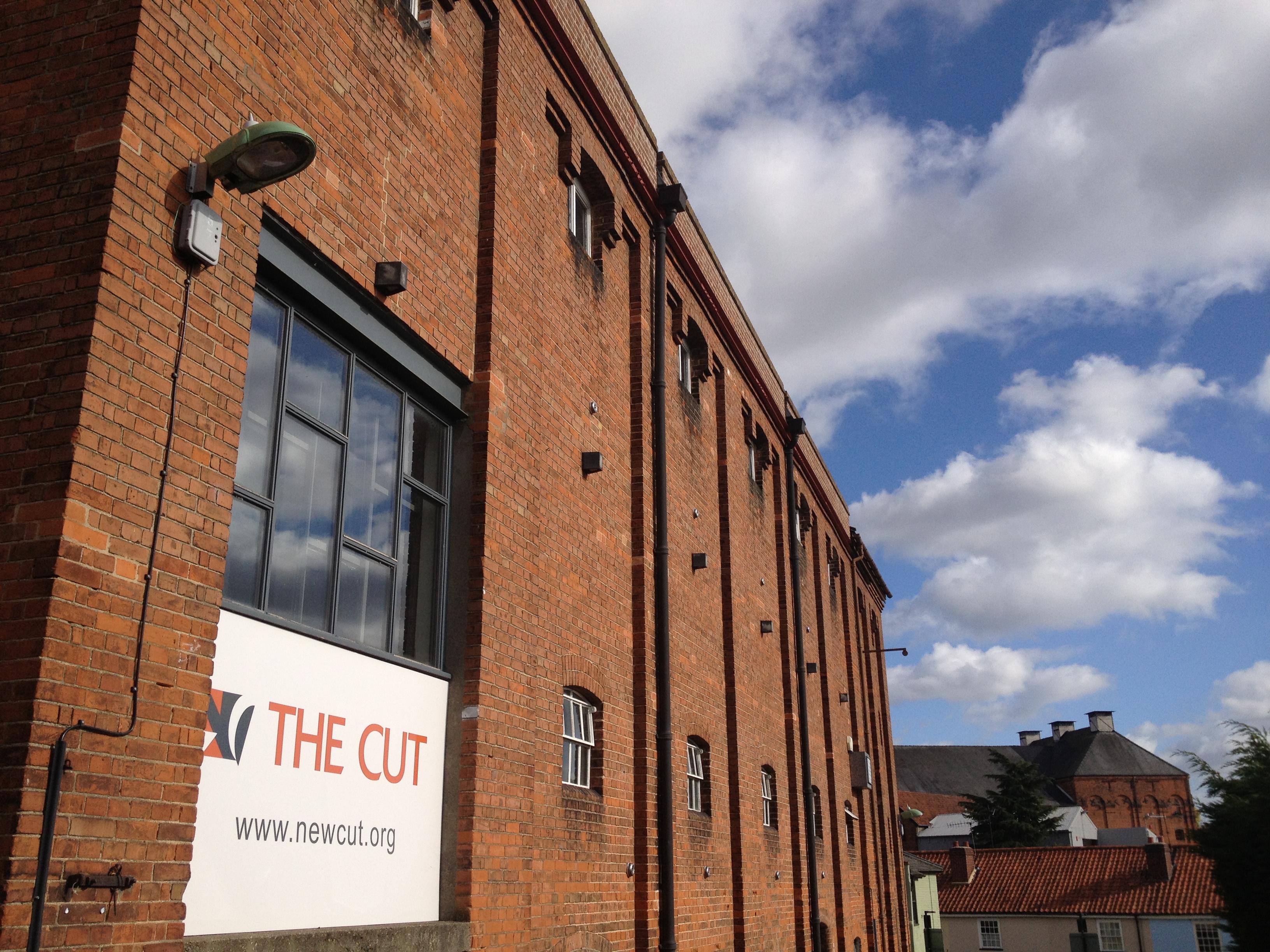
The Cut (theatre)
The Cut Arts Centre is a theatre in the Suffolk town of Halesworth. It is a centre for arts in the community and offers music, theatre, dance, comedy,...
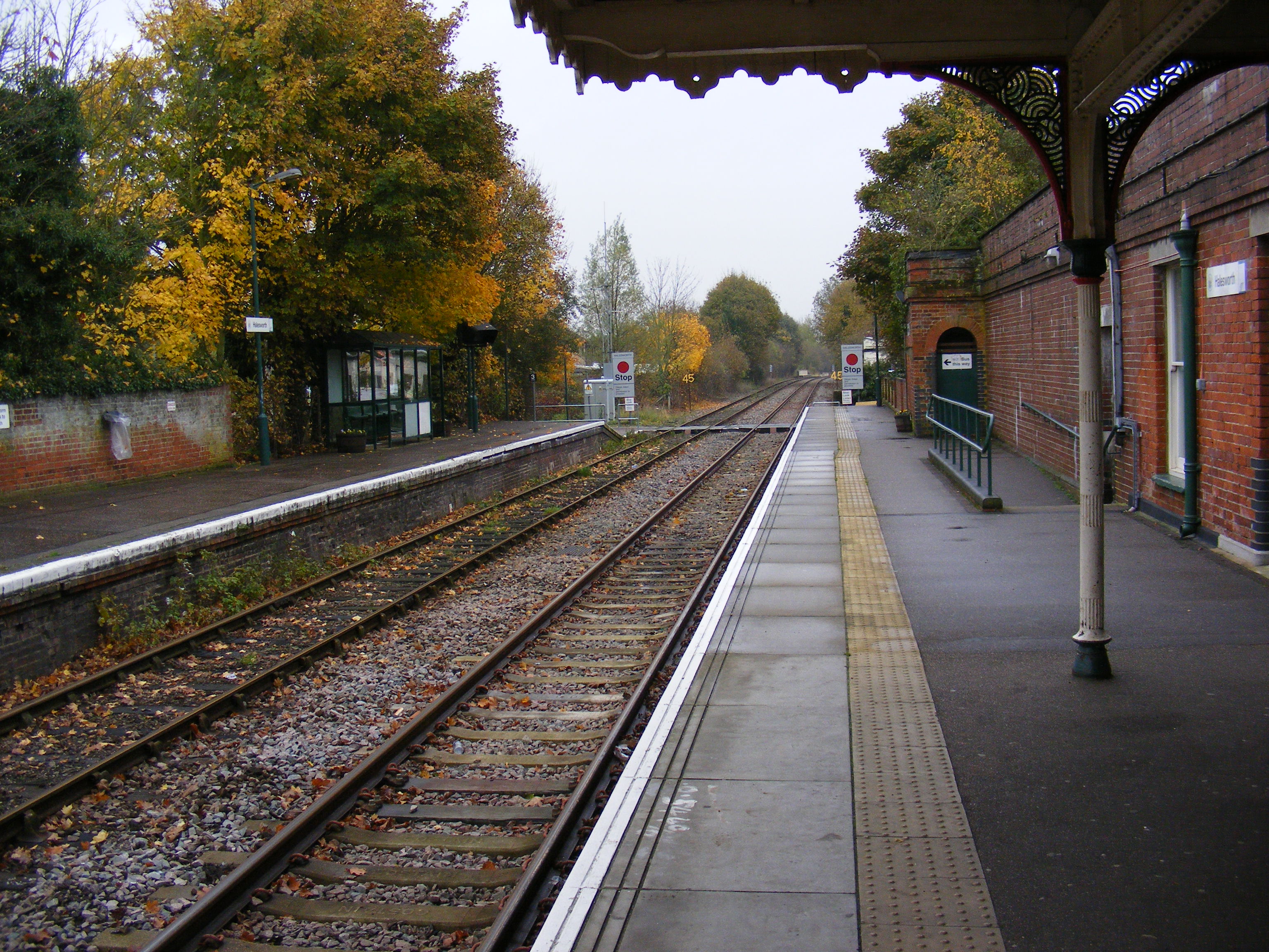
Halesworth railway station
Halesworth railway station is on the East Suffolk Line in the east of England, serving the town of Halesworth, Suffolk. It is also the nearest station...
Blyth Navigation
The Blyth Navigation was a canal in Suffolk, England, running 7 miles (11 km) from Halesworth to the North Sea at Southwold. It opened in 1761, and was...

Spexhall
Spexhall is a village and civil parish in the north-east of the English county of Suffolk. The village, which is dispersed in nature, is around 1.5 miles...
Nearby Amenities
Located within 500m of 52.347991,1.461774Have you been to Chediston?
Leave your review of Chediston below (or comments, questions and feedback).