Barnpark Plantation
Wood, Forest in Cornwall
England
Barnpark Plantation
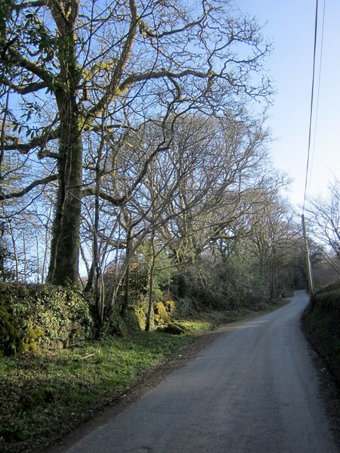
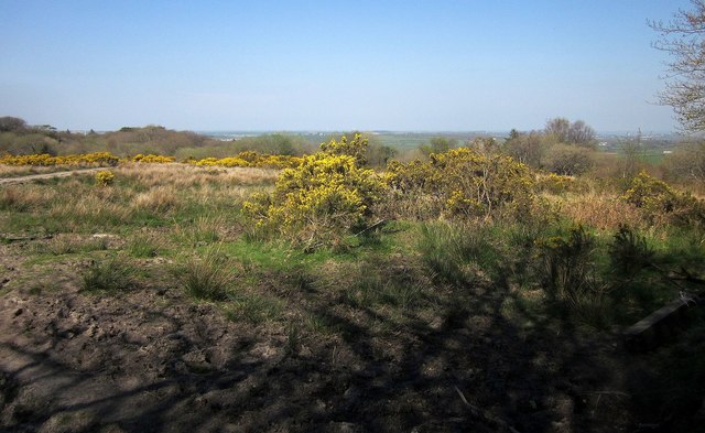
Barnpark Plantation is a picturesque woodland located in Cornwall, England. It is situated near the town of Saltash, just a short drive away from the coast. The plantation covers an area of approximately 100 acres and is known for its diverse range of tree species, creating a vibrant and lush forest.
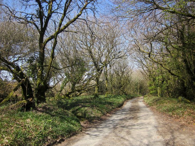
The woodland is primarily composed of native trees such as oak, beech, ash, and birch, providing a beautiful natural habitat for various wildlife species. Visitors can explore the well-maintained trails that wind through the plantation, offering a tranquil and peaceful environment for walking, hiking, or simply enjoying nature.
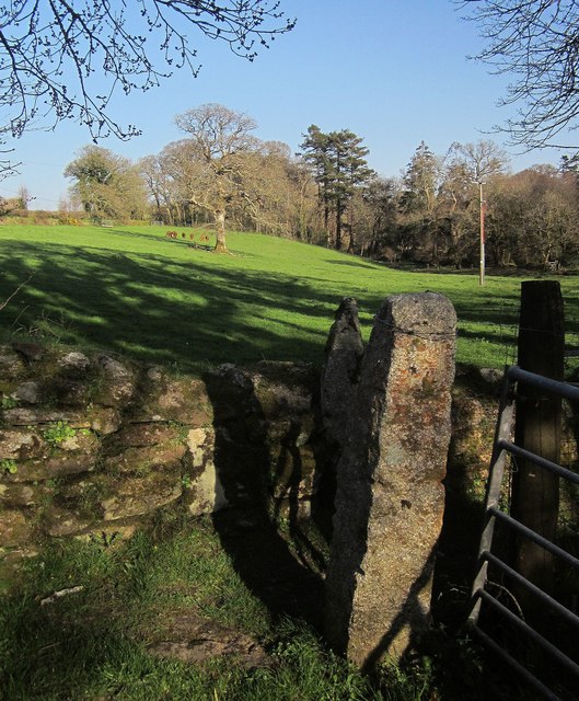
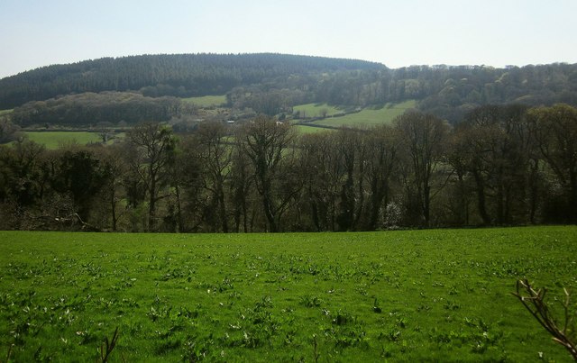
Barnpark Plantation is particularly popular among nature enthusiasts and photographers who are drawn to its stunning scenery and abundant wildlife. The forest is home to a variety of birds, including woodpeckers, owls, and songbirds, as well as small mammals like squirrels and rabbits.
Throughout the year, the plantation offers a changing landscape, with vibrant colors in the autumn and fresh green foliage in the spring and summer months. This, coupled with the peaceful ambiance, makes it an ideal location for relaxation and nature observation.
The management of Barnpark Plantation is committed to preserving its natural beauty and biodiversity. They regularly undertake conservation efforts to protect the woodland and its inhabitants, ensuring that future generations can also enjoy its splendor.
If you have any feedback on the listing, please let us know in the comments section below.
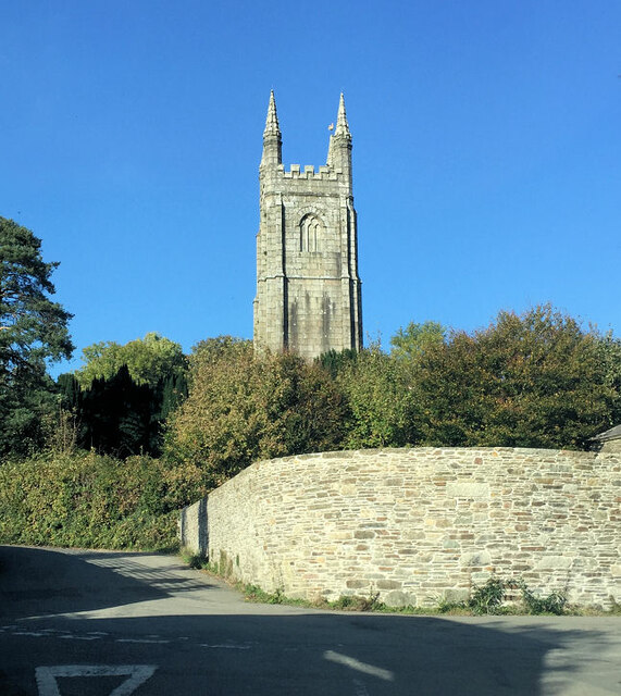
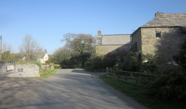
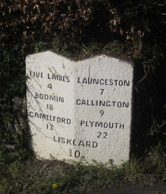
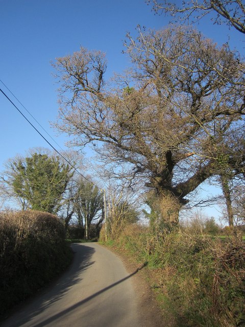
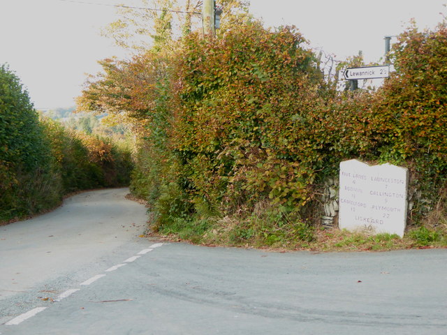
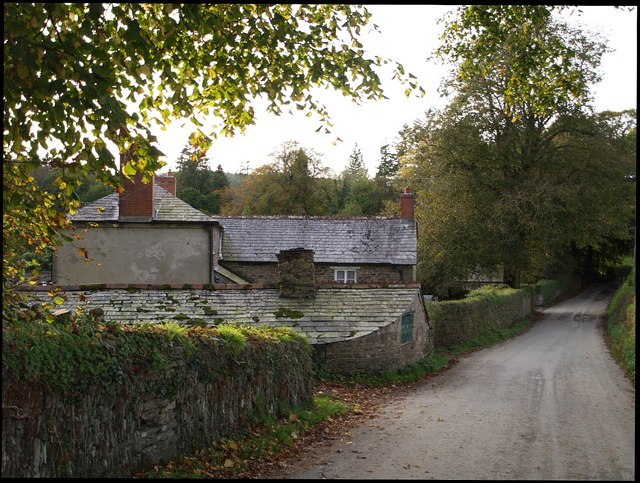
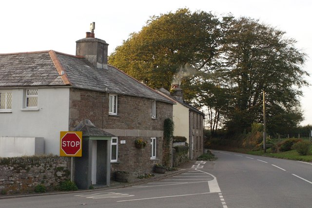
Barnpark Plantation Images
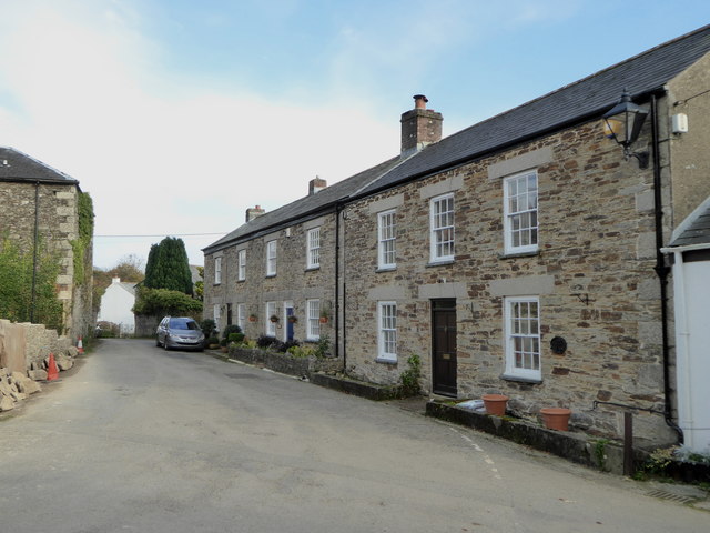
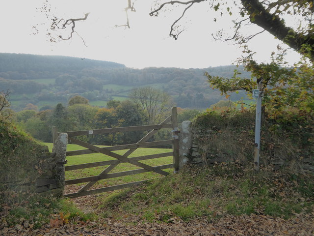
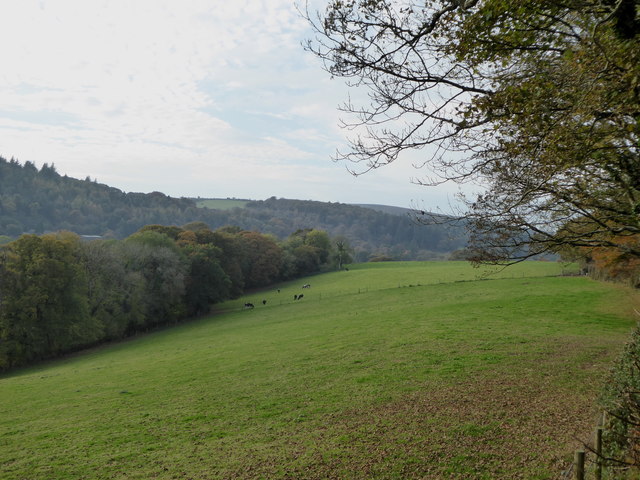
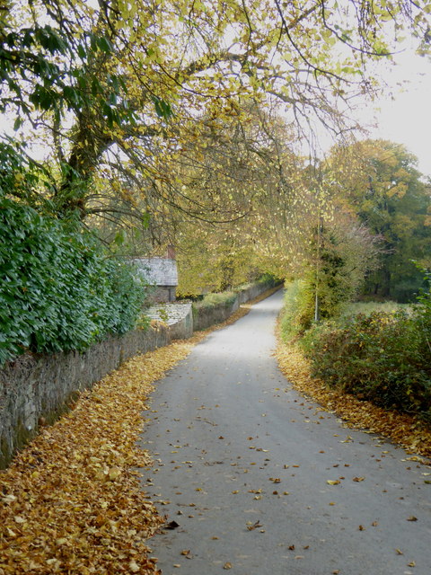
Images are sourced within 2km of 50.572332/-4.4532525 or Grid Reference SX2677. Thanks to Geograph Open Source API. All images are credited.

Barnpark Plantation is located at Grid Ref: SX2677 (Lat: 50.572332, Lng: -4.4532525)
Unitary Authority: Cornwall
Police Authority: Devon and Cornwall
What 3 Words
///dressings.spillage.mining. Near North Hill, Cornwall
Nearby Locations
Related Wikis
Trebartha
Trebartha is a hamlet in Cornwall, England, United Kingdom, in the parish of North Hill and in the valley of the River Lynher. == History == The manor...

Trevadlock
Trevadlock is a hamlet south of Lewannick, Cornwall, United Kingdom. It includes a re-furbished old chapel, old schoolroom and semi-detached cottages....

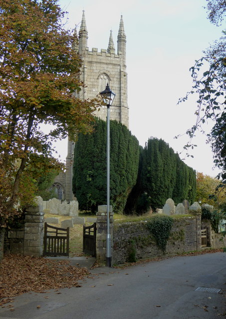
North Hill, Cornwall
North Hill (Cornish: Bre Gledh) is a village and civil parish in Cornwall, England, United Kingdom. The village is situated on the east side of the River...
Congdon's Shop
Congdon's Shop is a hamlet in the parish of North Hill, Cornwall, England. It is at the junction of the B3254 Launceston to Liskeard road and the B3257...
Nearby Amenities
Located within 500m of 50.572332,-4.4532525Have you been to Barnpark Plantation?
Leave your review of Barnpark Plantation below (or comments, questions and feedback).