Blake Wood

Wood, Forest in Cornwall

England

Blake Wood

St Swithin's Church
St Swithin's Church Credit: Paul Barnett

Blake Wood is a picturesque forest located in Cornwall, England. Situated near the village of Blake, the wood covers an area of approximately 200 acres, making it a significant natural attraction in the region. The forest is characterized by its dense foliage, towering trees, and diverse wildlife.

The wood is primarily composed of deciduous trees, including oak, beech, and ash, which create a stunning canopy during the summer months. The forest floor is covered in a thick layer of moss and ferns, providing a lush and vibrant ecosystem for a variety of plant and animal species.

The air in Blake Wood is filled with the sweet scent of wildflowers, making it a popular spot for nature lovers and hikers. There are several well-maintained trails that wind through the forest, allowing visitors to explore its beauty at their own pace. These trails offer breathtaking views of the surrounding countryside and opportunities for birdwatching and wildlife spotting.

The wood is also home to a diverse range of wildlife, including deer, foxes, squirrels, and a wide array of bird species. Bird enthusiasts can spot woodpeckers, owls, and songbirds among the branches, while lucky visitors might even catch a glimpse of a rare or elusive creature.

Overall, Blake Wood offers a tranquil escape from the hustle and bustle of daily life. Its natural beauty, abundant wildlife, and well-maintained trails make it a must-visit destination for nature enthusiasts and those seeking a peaceful retreat in the heart of Cornwall.

If you have any feedback on the listing, please let us know in the comments section below.
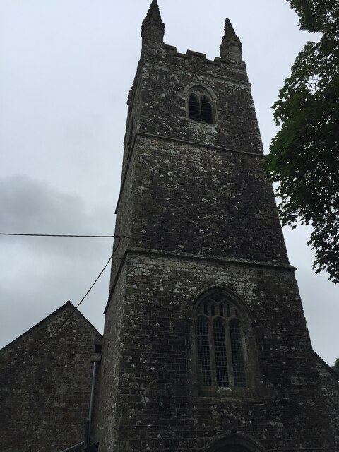
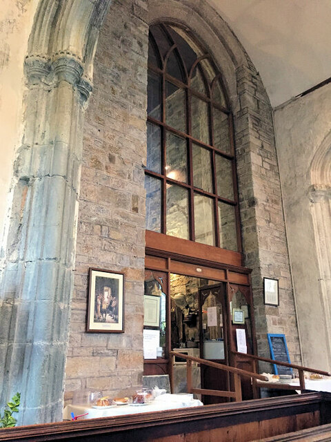
Blake Wood Images

Images are sourced within 2km of 50.810784/-4.4798971 or Grid Reference SS2504. Thanks to Geograph Open Source API. All images are credited.

St Swithin's Church
St Swithin's Church
St Swithin's Church
St Swithin's Church
St Swithin's font
St Swithin's font
Inside St Swithin's
Inside St Swithin's
Inside St Swithin's
Inside St Swithin's
Inside St Swithin's
Inside St Swithin's
Launcells: on Hobbacott Down Track - and public footpath - leading to the top of the disused Thurlibeer Incline which once served the Bude Canal. Incidentally, it is worth noting that - at the time of writing, June 2011 - that the public footpath shown on the OS map square on Geograph is out of date. In Launcells parish
Launcells: on Hobbacott Down
Track - and public footpath - leading to the top of the disused Thurlibeer Incline which once served the Bude Canal. Incidentally, it is worth noting that - at the time of writing, June 2011 - that the public footpath shown on the OS map square on Geograph is out of date. In Launcells parish
Launcells: Bude Canal building Looking across the dry Bude Canal at the head of the Thurlibeer Incline - known also as the Hobbacott Incline. The building may once have served as the incline keeper's workshop. There was also an auxiliary steam engine here at one time. A public footpath now runs past here and down the incline to Marhamchurch and Bude. In Launcells parish
Launcells: Bude Canal building
Looking across the dry Bude Canal at the head of the Thurlibeer Incline - known also as the Hobbacott Incline. The building may once have served as the incline keeper's workshop. There was also an auxiliary steam engine here at one time. A public footpath now runs past here and down the incline to Marhamchurch and Bude. In Launcells parish
Launcells: Thurlibeer Incline Seen from Hobbacott Down. Looking down the 935' long inclined plane which descends Hobbacott Down on a gradient of 1 in 4. The plane formed part of the Bude Canal and functioned from 1825 to 1891. Tub boats with integral wheels were raised on the twin-track plane, powered by a huge bucket loaded with water descending a 225' deep shaft. At the foot of the shaft the water was discharged automatically into a tunnel which drained into the lower canal level. On occasions an auxiliary steam engine was brought into use. The top level of the canal was fed with water from a reservoir a few miles away. This, now known as the Tamar Lake, was formed by damming the river near its source. The inclined plane is now on a public footpath and part of a circuit known as 'The Planekeeper's Path', which also takes in the Marhamchurch Incline. Photo taken in Launcells parish.
Launcells: Thurlibeer Incline
Seen from Hobbacott Down. Looking down the 935' long inclined plane which descends Hobbacott Down on a gradient of 1 in 4. The plane formed part of the Bude Canal and functioned from 1825 to 1891. Tub boats with integral wheels were raised on the twin-track plane, powered by a huge bucket loaded with water descending a 225' deep shaft. At the foot of the shaft the water was discharged automatically into a tunnel which drained into the lower canal level. On occasions an auxiliary steam engine was brought into use. The top level of the canal was fed with water from a reservoir a few miles away. This, now known as the Tamar Lake, was formed by damming the river near its source. The inclined plane is now on a public footpath and part of a circuit known as 'The Planekeeper's Path', which also takes in the Marhamchurch Incline. Photo taken in Launcells parish.
Launcells: on Thurlibeer Incline About half way down the 935' long Thurlibeer Incline, also known as the Hobbacott Incline. A disused twin-track inclined plane on the Bude Canal, with a gradient of 1 in 4, which functioned between 1825 and 1891. For more information see <a href="https://www.geograph.org.uk/photo/2452496">SS2404 : Launcells: Thurlibeer Incline</a>. In Launcells parish
Launcells: on Thurlibeer Incline
About half way down the 935' long Thurlibeer Incline, also known as the Hobbacott Incline. A disused twin-track inclined plane on the Bude Canal, with a gradient of 1 in 4, which functioned between 1825 and 1891. For more information see SS2404 : Launcells: Thurlibeer Incline. In Launcells parish
Launcells: on Hobbacott Down View towards the Atlantic coast with the outskirts of Bude on the extreme right, well beyond the square. Seen from the new public footpath to the Thurlibeer Incline, in Launcells parish
Launcells: on Hobbacott Down
View towards the Atlantic coast with the outskirts of Bude on the extreme right, well beyond the square. Seen from the new public footpath to the Thurlibeer Incline, in Launcells parish
The Red Post and Red Post Inn Launcells
Guyed Mast in Field A transmitter or maybe wind speed monitor?
Near Prustacott Farm.
Guyed Mast in Field
A transmitter or maybe wind speed monitor? Near Prustacott Farm.
Lane Junction to Launcells Church A narrow lane leads to St Swithin's church
Lane Junction to Launcells Church
A narrow lane leads to St Swithin's church
St Swithin's church, Launcells, Cornwall "The least spoilt church in Cornwall"
So said Sir John Betjeman, and today this is still true of the Grade I listed church. There was probably a Norman church here, Launcells Manor is mentioned in the Domesday book. Indeed the font is Norman with a decorative cable pattern. In the 13th C. the church was dependent on the Augustinian Abbey of Hartland, and the first vicar is mentioned in 1261. It was dedicated to St Swithin in 1321,  having originally been to St Andrew.
It was reconstructed in 15th C. The pillars of the South Aisle are polyphant stone and earlier than those of the North Aisle which are granite. The style is mostly Perpendicular, and the 16th C. tower is 64 feet high with crocketed finials.
The aisles have  15th C Waggon roofs, and the chancel is paved with 15th Century Barnstaple Encaustic tiles with a wide variety of designs. The Pew ends have splendid carvings, among the best in Cornwall, and date from 15th C.
The west wall has a deteriorated mural of Adam and Isaac painted in Tudor times.
Restoration was undertaken in 1932, and further window repairs 1956-7. Costly roof repairs were undertaken in 2000.
The windows are of clear glass, giving a wonderful impression of light. There is a monument to Sir John Chamond, d.1624.
St Swithin's church, Launcells, Cornwall
"The least spoilt church in Cornwall" So said Sir John Betjeman, and today this is still true of the Grade I listed church. There was probably a Norman church here, Launcells Manor is mentioned in the Domesday book. Indeed the font is Norman with a decorative cable pattern. In the 13th C. the church was dependent on the Augustinian Abbey of Hartland, and the first vicar is mentioned in 1261. It was dedicated to St Swithin in 1321, having originally been to St Andrew. It was reconstructed in 15th C. The pillars of the South Aisle are polyphant stone and earlier than those of the North Aisle which are granite. The style is mostly Perpendicular, and the 16th C. tower is 64 feet high with crocketed finials. The aisles have 15th C Waggon roofs, and the chancel is paved with 15th Century Barnstaple Encaustic tiles with a wide variety of designs. The Pew ends have splendid carvings, among the best in Cornwall, and date from 15th C. The west wall has a deteriorated mural of Adam and Isaac painted in Tudor times. Restoration was undertaken in 1932, and further window repairs 1956-7. Costly roof repairs were undertaken in 2000. The windows are of clear glass, giving a wonderful impression of light. There is a monument to Sir John Chamond, d.1624.
Font, St Swithin's church "The least spoilt church in Cornwall"
So said Sir John Betjeman, and today this is still true of the Grade I listed church. There was probably a Norman church here, Launcells Manor is mentioned in the Domesday book. Indeed the font is Norman with a decorative cable pattern. In the 13th C. the church was dependent on the Augustinian Abbey of Hartland, and the first vicar is mentioned in 1261. It was dedicated to St Swithin in 1321,  having originally been to St Andrew.
It was reconstructed in 15th C. The pillars of the South Aisle are polyphant stone and earlier than those of the North Aisle which are granite. The style is mostly Perpendicular, and the 16th C. tower is 64 feet high with crocketed finials.
The aisles have  15th C Waggon roofs, and the chancel is paved with 15th Century Barnstaple Encaustic tiles with a wide variety of designs. The Pew ends have splendid carvings, among the best in Cornwall, and date from 15th C.
The west wall has a deteriorated mural of Adam and Isaac painted in Tudor times.
Restoration was undertaken in 1932, and further window repairs 1956-7. Costly roof repairs were undertaken in 2000.
The windows are of clear glass, giving a wonderful impression of light. There is a monument to Sir John Chamond, d.1624.
Font, St Swithin's church
"The least spoilt church in Cornwall" So said Sir John Betjeman, and today this is still true of the Grade I listed church. There was probably a Norman church here, Launcells Manor is mentioned in the Domesday book. Indeed the font is Norman with a decorative cable pattern. In the 13th C. the church was dependent on the Augustinian Abbey of Hartland, and the first vicar is mentioned in 1261. It was dedicated to St Swithin in 1321, having originally been to St Andrew. It was reconstructed in 15th C. The pillars of the South Aisle are polyphant stone and earlier than those of the North Aisle which are granite. The style is mostly Perpendicular, and the 16th C. tower is 64 feet high with crocketed finials. The aisles have 15th C Waggon roofs, and the chancel is paved with 15th Century Barnstaple Encaustic tiles with a wide variety of designs. The Pew ends have splendid carvings, among the best in Cornwall, and date from 15th C. The west wall has a deteriorated mural of Adam and Isaac painted in Tudor times. Restoration was undertaken in 1932, and further window repairs 1956-7. Costly roof repairs were undertaken in 2000. The windows are of clear glass, giving a wonderful impression of light. There is a monument to Sir John Chamond, d.1624.
Carved Pew ends, St Swithin's church, Launcells Showing a Scourging Post and Scourges
Carved Pew ends, St Swithin's church, Launcells
Showing a Scourging Post and Scourges
Interior, St Swithin's church Showing the earlier polyphant stone pillars.
Interior, St Swithin's church
Showing the earlier polyphant stone pillars.
Show me another place!

Blake Wood is located at Grid Ref: SS2504 (Lat: 50.810784, Lng: -4.4798971)

Unitary Authority: Cornwall

Police Authority: Devon and Cornwall

What 3 Words

///meatballs.recital.balanced. Near Bude, Cornwall

Nearby Locations

Thurlibeer Wood Blake Wood

Related Wikis

Buttsbear Cross

Buttsbear Cross is a hamlet in the parish of Launcells, Cornwall, England. Buttsbear Cross lies on the B3254 road and is 2.7 miles (4.3 km) south-east...

Red Post

Red Post is a crossroads near Launcells in Cornwall, England. It is on the A3072 Holsworthy to Stratton road where it is crossed by the B3254 road. �...

Launcells

Launcells (Cornish: Lannseles) is a hamlet and civil parish in north-east Cornwall, England, United Kingdom. It is located 3 miles (4.8 km) east of Bude...

Launcells Cross

Launcells Cross is a hamlet in the parish of Launcells in Cornwall, England. It is on the B3254 road between Grimscott and Red Post. == References ==

Nearby Amenities

Located within 500m of 50.810784,-4.4798971
Fixme: Ford or Culvert ?
Lat/Long: 50.8137192/-4.4755055
The data included in this document is from www.openstreetmap.org. The data is made available under ODbL.

Have you been to Blake Wood?

Leave your review of Blake Wood below (or comments, questions and feedback).