Pristacott Plantation

Wood, Forest in Cornwall

England

Pristacott Plantation

St Swithin's Church
St Swithin's Church Credit: Paul Barnett

Pristacott Plantation is a picturesque woodland located in Cornwall, England. Nestled amidst the rolling hills and lush green landscape, this enchanting forest spans an area of approximately 50 acres. The plantation is situated in close proximity to the village of Pristacott, which adds to its charm and accessibility.

The woodland is predominantly composed of various species of trees, including oak, beech, and ash. These majestic trees create a dense canopy that provides a haven for a diverse range of wildlife. Birdwatchers and nature enthusiasts will be delighted to spot an array of bird species, such as woodpeckers, owls, and various songbirds, among others.

Pristacott Plantation is an ideal destination for those seeking tranquility and solitude. The forest's well-maintained pathways and trails offer visitors an opportunity to explore the area at their own pace. The peaceful ambiance, coupled with the soothing sounds of birdsong and rustling leaves, makes it a perfect spot for leisurely walks, picnics, or even meditation.

In addition to its natural beauty, Pristacott Plantation also boasts a rich history. It is believed to have been a working plantation in the past, with remnants of old structures and historic ruins scattered throughout the area. These remnants add an intriguing element to the woodland, allowing visitors to connect with the past as they immerse themselves in the present beauty of the forest.

Overall, Pristacott Plantation is a captivating destination that offers a serene escape from the hustle and bustle of everyday life. Its combination of natural splendor and historical significance make it a must-visit location for nature lovers, history enthusiasts, and anyone seeking a peaceful retreat amidst Cornwall's stunning landscape.

If you have any feedback on the listing, please let us know in the comments section below.

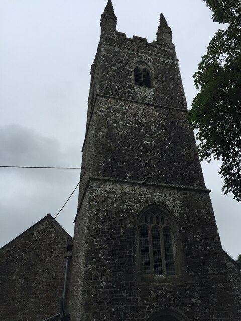
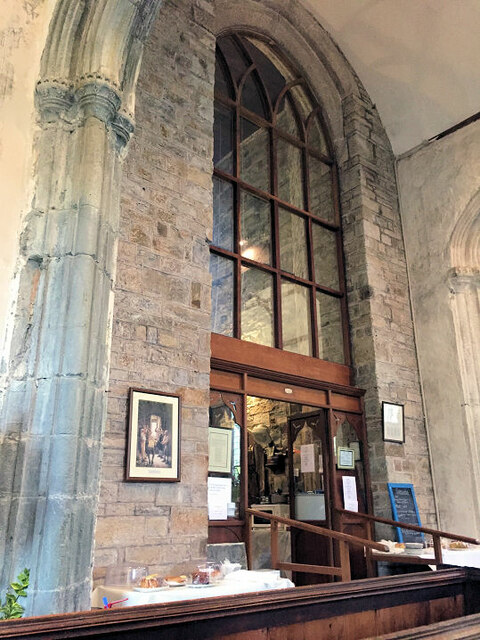
Pristacott Plantation Images

Images are sourced within 2km of 50.830728/-4.4818208 or Grid Reference SS2506. Thanks to Geograph Open Source API. All images are credited.

St Swithin's Church
St Swithin's Church
St Swithin's Church
St Swithin's Church
St Swithin's font
St Swithin's font
Inside St Swithin's
Inside St Swithin's
Inside St Swithin's
Inside St Swithin's
Inside St Swithin's
Inside St Swithin's
Launcells: on Hobbacott Down Track - and public footpath - leading to the top of the disused Thurlibeer Incline which once served the Bude Canal. Incidentally, it is worth noting that - at the time of writing, June 2011 - that the public footpath shown on the OS map square on Geograph is out of date. In Launcells parish
Launcells: on Hobbacott Down
Track - and public footpath - leading to the top of the disused Thurlibeer Incline which once served the Bude Canal. Incidentally, it is worth noting that - at the time of writing, June 2011 - that the public footpath shown on the OS map square on Geograph is out of date. In Launcells parish
Launcells: Bude Canal building Looking across the dry Bude Canal at the head of the Thurlibeer Incline - known also as the Hobbacott Incline. The building may once have served as the incline keeper's workshop. There was also an auxiliary steam engine here at one time. A public footpath now runs past here and down the incline to Marhamchurch and Bude. In Launcells parish
Launcells: Bude Canal building
Looking across the dry Bude Canal at the head of the Thurlibeer Incline - known also as the Hobbacott Incline. The building may once have served as the incline keeper's workshop. There was also an auxiliary steam engine here at one time. A public footpath now runs past here and down the incline to Marhamchurch and Bude. In Launcells parish
Launcells: Thurlibeer Incline Seen from Hobbacott Down. Looking down the 935' long inclined plane which descends Hobbacott Down on a gradient of 1 in 4. The plane formed part of the Bude Canal and functioned from 1825 to 1891. Tub boats with integral wheels were raised on the twin-track plane, powered by a huge bucket loaded with water descending a 225' deep shaft. At the foot of the shaft the water was discharged automatically into a tunnel which drained into the lower canal level. On occasions an auxiliary steam engine was brought into use. The top level of the canal was fed with water from a reservoir a few miles away. This, now known as the Tamar Lake, was formed by damming the river near its source. The inclined plane is now on a public footpath and part of a circuit known as 'The Planekeeper's Path', which also takes in the Marhamchurch Incline. Photo taken in Launcells parish.
Launcells: Thurlibeer Incline
Seen from Hobbacott Down. Looking down the 935' long inclined plane which descends Hobbacott Down on a gradient of 1 in 4. The plane formed part of the Bude Canal and functioned from 1825 to 1891. Tub boats with integral wheels were raised on the twin-track plane, powered by a huge bucket loaded with water descending a 225' deep shaft. At the foot of the shaft the water was discharged automatically into a tunnel which drained into the lower canal level. On occasions an auxiliary steam engine was brought into use. The top level of the canal was fed with water from a reservoir a few miles away. This, now known as the Tamar Lake, was formed by damming the river near its source. The inclined plane is now on a public footpath and part of a circuit known as 'The Planekeeper's Path', which also takes in the Marhamchurch Incline. Photo taken in Launcells parish.
Launcells: on Thurlibeer Incline About half way down the 935' long Thurlibeer Incline, also known as the Hobbacott Incline. A disused twin-track inclined plane on the Bude Canal, with a gradient of 1 in 4, which functioned between 1825 and 1891. For more information see <a href="https://www.geograph.org.uk/photo/2452496">SS2404 : Launcells: Thurlibeer Incline</a>. In Launcells parish
Launcells: on Thurlibeer Incline
About half way down the 935' long Thurlibeer Incline, also known as the Hobbacott Incline. A disused twin-track inclined plane on the Bude Canal, with a gradient of 1 in 4, which functioned between 1825 and 1891. For more information see SS2404 : Launcells: Thurlibeer Incline. In Launcells parish
Launcells: on Hobbacott Down View towards the Atlantic coast with the outskirts of Bude on the extreme right, well beyond the square. Seen from the new public footpath to the Thurlibeer Incline, in Launcells parish
Launcells: on Hobbacott Down
View towards the Atlantic coast with the outskirts of Bude on the extreme right, well beyond the square. Seen from the new public footpath to the Thurlibeer Incline, in Launcells parish
The Red Post and Red Post Inn Launcells
A3072 approaching Stratton
Grassland near Stratton
Wind Turbine near Stratton Newly installed by the look of it, and rotating at a good speed!
Wind Turbine near Stratton
Newly installed by the look of it, and rotating at a good speed!
Lane towards Stratton
Houses near Hersham This lane runs to Stratton.
Houses near Hersham
This lane runs to Stratton.
Sheep near Hersham
Sheep near Hersham
Show me another place!

Pristacott Plantation is located at Grid Ref: SS2506 (Lat: 50.830728, Lng: -4.4818208)

Unitary Authority: Cornwall

Police Authority: Devon and Cornwall

What 3 Words

///rocker.clipboard.taking. Near Bude, Cornwall

Related Wikis

Grimscott

Grimscott is a village in north Cornwall, England, UK. It is situated in the civil parish of Launcells, 3 miles (4.8 km) east of the town of Bude.Half...

Launcells Cross

Launcells Cross is a hamlet in the parish of Launcells in Cornwall, England. It is on the B3254 road between Grimscott and Red Post. == References ==

Launcells

Launcells (Cornish: Lannseles) is a hamlet and civil parish in north-east Cornwall, England, United Kingdom. It is located 3 miles (4.8 km) east of Bude...

Hersham, Cornwall

Hersham is a hamlet south of Kilkhampton in Cornwall, England. Hersham is near Grimscott. It is in the civil parish of Launcells. == References ==

Nearby Amenities

Located within 500m of 50.830728,-4.4818208
Ford: yes
Lat/Long: 50.8319011/-4.4767693
East Leigh
Description: OS trig pillar
Ele: 149.455
Man Made: survey_point
Note: Accurate location import for imagery offset calibration. Please do not move.
Ref: SS30/T11
Source: Ordnance Survey (OGL)
Survey Point: pillar
Lat/Long: 50.8344155/-4.4858971
The data included in this document is from www.openstreetmap.org. The data is made available under ODbL.

Have you been to Pristacott Plantation?

Leave your review of Pristacott Plantation below (or comments, questions and feedback).