Beacon Park Plantation

Wood, Forest in Cornwall

England

Beacon Park Plantation

Former Wesleyan chapel
Former Wesleyan chapel Credit: Paul Barnett

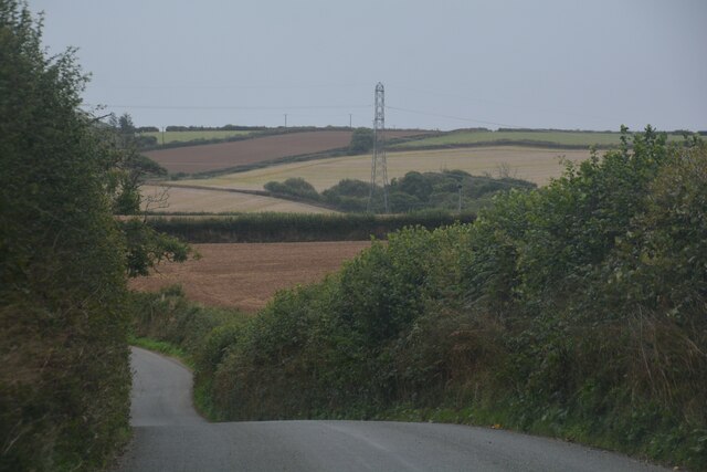
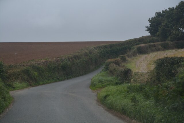
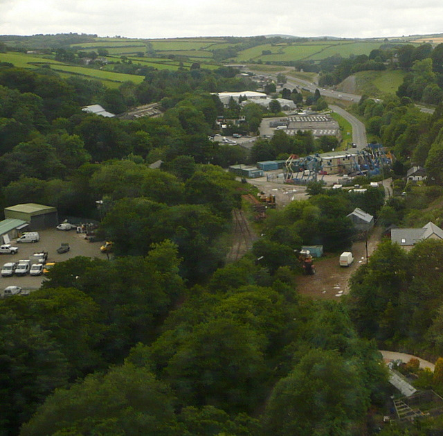
Beacon Park Plantation is a charming woodland located in Cornwall, England. Situated in the heart of the county, it encompasses an area of approximately 200 acres, making it an ideal destination for nature enthusiasts and those seeking solace in the great outdoors. The plantation is renowned for its rich and diverse flora and fauna, providing a haven for various species of plants and animals.

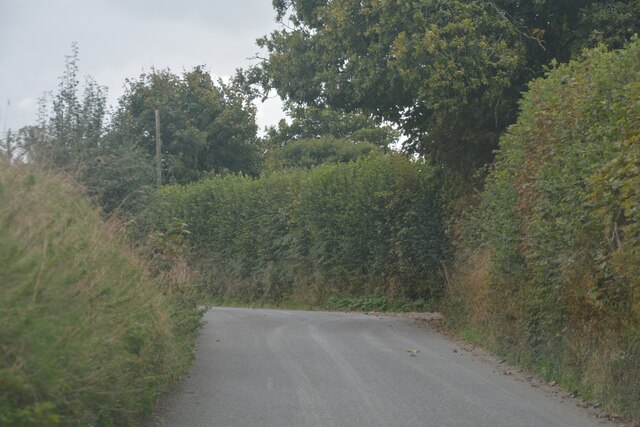
The plantation is predominantly covered by dense deciduous trees, including oak, beech, and ash, which create a vibrant and picturesque landscape throughout the year. These trees offer a respite from the hustle and bustle of everyday life, with their towering canopies providing shade and tranquility. The forest floor is adorned with an array of wildflowers, ferns, and mosses, creating a tapestry of colors and textures.

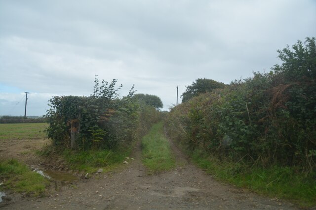
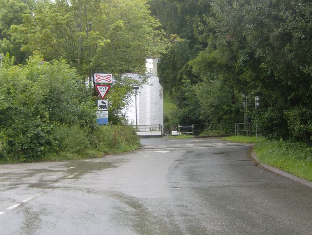
Beacon Park Plantation boasts a network of well-maintained walking trails, allowing visitors to explore the woodland at their own pace. These trails wind through the plantation, offering breathtaking views of the surrounding countryside and glimpses of the local wildlife. Deer, foxes, and a myriad of bird species can often be spotted amidst the trees, adding to the allure of the plantation.

Additionally, Beacon Park Plantation offers various amenities for visitors, including picnic areas, benches, and information boards detailing the plantation's history and ecology. The plantation is open to the public year-round, with seasonal events and guided tours available during certain periods.

With its idyllic setting and abundant natural beauty, Beacon Park Plantation is a must-visit destination for nature lovers and those seeking an escape into Cornwall's enchanting woodlands.

If you have any feedback on the listing, please let us know in the comments section below.

Beacon Park Plantation Images

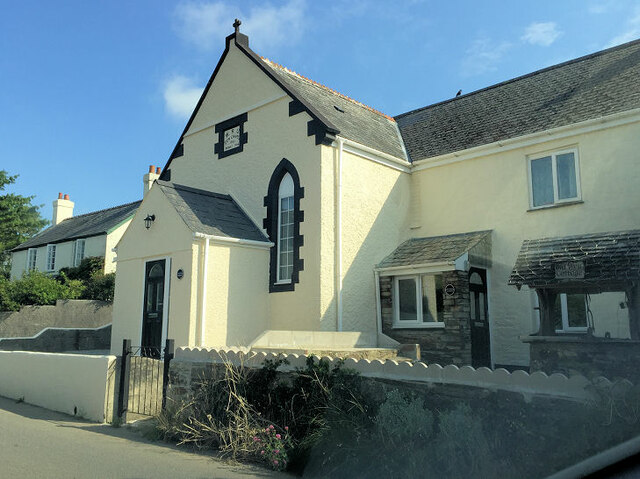
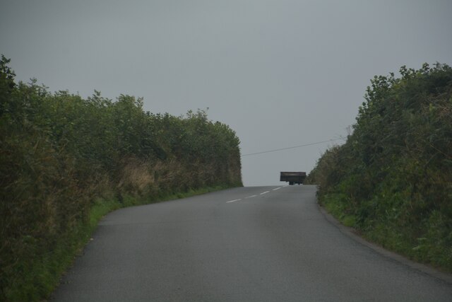
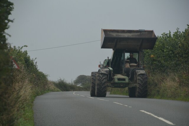
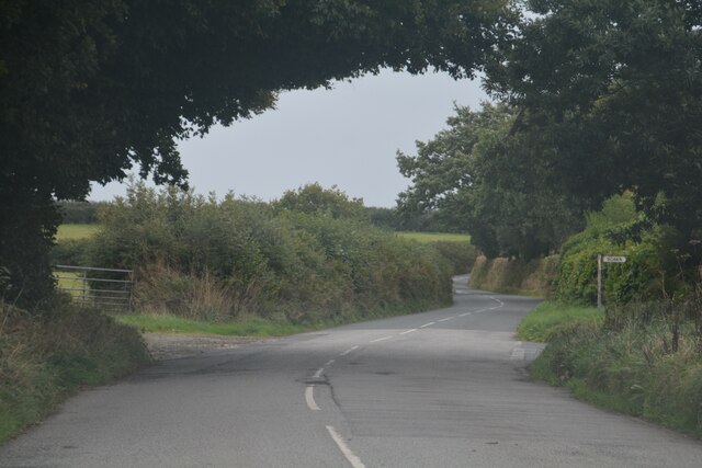
Images are sourced within 2km of 50.436354/-4.495434 or Grid Reference SX2262. Thanks to Geograph Open Source API. All images are credited.

Former Wesleyan chapel
Dobwalls : Gate A gate provides entrance into the field.
Dobwalls : Gate
A gate provides entrance into the field.
Dobwalls : Country Lane A small lane heads through the countryside.
Dobwalls : Country Lane
A small lane heads through the countryside.
Dobwalls : Country Lane Looking along a country lane.
Dobwalls : Country Lane
Looking along a country lane.
Dobwalls : Country Lane Looking along a road.
Dobwalls : Country Lane
Looking along a road.
Dobwalls : Country Road Looking along the road.
Dobwalls : Country Road
Looking along the road.
Dobwalls : Country Road A road heads through the Cornish countryside.
Dobwalls : Country Road
A road heads through the Cornish countryside.
Dobwalls : Country Lane A lane heads through the Cornish countryside.
Dobwalls : Country Lane
A lane heads through the Cornish countryside.
Duloe : Country Lane A lane heads through the Cornish countryside.
Duloe : Country Lane
A lane heads through the Cornish countryside.
Duloe : Track A track heads off from the road.
Duloe : Track
A track heads off from the road.
Duloe : Country Lane A lane heads through the Cornish countryside.
Duloe : Country Lane
A lane heads through the Cornish countryside.
Moorswater An extensive industrial estate off the A38 west of Liskeard.  It also has a railway connection from the Looe branch, seen below us as we cross on the railway viaduct.
This photo was taken from the 1158 Penzance to London Paddington train, having left Bodmin Parkway at 1319 and is about to arrive at Liskeard.
Moorswater
An extensive industrial estate off the A38 west of Liskeard. It also has a railway connection from the Looe branch, seen below us as we cross on the railway viaduct. This photo was taken from the 1158 Penzance to London Paddington train, having left Bodmin Parkway at 1319 and is about to arrive at Liskeard.
Ungated railway crossing at Moorswater The ungated railway level crossing at the southern end of the Moorswater Industrial Estate.
Ungated railway crossing at Moorswater
The ungated railway level crossing at the southern end of the Moorswater Industrial Estate.
Cornish farm house A very nice Cornish farm house at West Trevillies farm on an autumn afternoon.
Cornish farm house
A very nice Cornish farm house at West Trevillies farm on an autumn afternoon.
The Dobwalls to Looe Road Road junction for a minor road to St Keyne on the Dobwalls to Looe road.
The Dobwalls to Looe Road
Road junction for a minor road to St Keyne on the Dobwalls to Looe road.
Farm Equipment on the Dobwalls to Looe road
Trig point on field bank junction, Killigorrick This triangulation pillar has an Ordnance Survey flush bracket benchmark serial number S5742. More information at <span class="nowrap"><a title="http://www.trigpointinguk.com/trigs/trig-details.php?t=5373" rel="nofollow ugc noopener" href="http://www.trigpointinguk.com/trigs/trig-details.php?t=5373">Link</a><img style="margin-left:2px;" alt="External link" title="External link - shift click to open in new window" src="https://s1.geograph.org.uk/img/external.png" width="10" height="10"/></span>
Trig point on field bank junction, Killigorrick
This triangulation pillar has an Ordnance Survey flush bracket benchmark serial number S5742. More information at LinkExternal link
Leaving Coombe Junction for Liskeard, 1979 A view through the dirty rear window of a diesel multiple unit as it grinds up the hill from a reversal at Coombe Junction. Catch points diverting runaways down the hill to the right have not yet been reset by the signalman, whose signal box may be glimpsed (in the next square). The seven mile post is on the right, measured from Looe into Coombe Junction station and out again. The line from Looe is at the lower level on the left. Splitting junction signals are in front of the signalbox, these are for the station terminus to the right and the freight line to Moorswater to the left. The latter once connected with the Liskeard and Caradon Railway which ascended the heights of Bodmin Moor to reach several mines.  <a href="https://www.geograph.org.uk/photo/1649426">SX2363 : Coombe station, 1979</a> is a view in the reversal station, <a href="https://www.geograph.org.uk/photo/2823990">SX2463 : Approaching Coombe Junction from Looe, 1979</a> is a view in the same direction from the track from Looe to the left.
Leaving Coombe Junction for Liskeard, 1979
A view through the dirty rear window of a diesel multiple unit as it grinds up the hill from a reversal at Coombe Junction. Catch points diverting runaways down the hill to the right have not yet been reset by the signalman, whose signal box may be glimpsed (in the next square). The seven mile post is on the right, measured from Looe into Coombe Junction station and out again. The line from Looe is at the lower level on the left. Splitting junction signals are in front of the signalbox, these are for the station terminus to the right and the freight line to Moorswater to the left. The latter once connected with the Liskeard and Caradon Railway which ascended the heights of Bodmin Moor to reach several mines. SX2363 : Coombe station, 1979 is a view in the reversal station, SX2463 : Approaching Coombe Junction from Looe, 1979 is a view in the same direction from the track from Looe to the left.
Show me another place!

Beacon Park Plantation is located at Grid Ref: SX2262 (Lat: 50.436354, Lng: -4.495434)

Unitary Authority: Cornwall

Police Authority: Devon and Cornwall

What 3 Words

///gross.lorry.microfilm. Near Liskeard, Cornwall

Nearby Locations

Beacon Park Plantation

Related Wikis

Boduel

Boduel is a hamlet in east Cornwall, England, United Kingdom. It is situated west of Moorswater, one mile (1.6 km) west of Liskeard in the civil parish...

Coombe, Liskeard

Coombe (Cornish: Komm) is a settlement in Cornwall, England, United Kingdom. It is situated one mile (1.6 km) southwest of Liskeard.Coombe Junction Halt...

Coombe Junction Halt railway station

Coombe Junction Halt railway station (Cornish: Gorta Kemper Komm) serves the villages of Coombe and Lamellion near Liskeard, Cornwall, England, UK. It...

Moorswater railway station

Moorswater railway station (Cornish: Dowr an Hal) was the centre of operations for the Liskeard and Caradon Railway and the Liskeard and Looe Railway....

Nearby Amenities

Located within 500m of 50.436354,-4.495434
Design: three-level
Power: tower
Lat/Long: 50.4324177/-4.4925623
Beacon Park Plantation
Lat/Long: 50.43655/-4.4951865
Slip Wood
Lat/Long: 50.4365022/-4.4904454
Highland Wood
Lat/Long: 50.4355656/-4.489512
Power: pole
Lat/Long: 50.4329641/-4.4984829
Power: pole
Lat/Long: 50.4330376/-4.496541
Power: pole
Lat/Long: 50.4330991/-4.4949585
Power: pole
Lat/Long: 50.4333639/-4.4934699
Power: pole
Lat/Long: 50.4335843/-4.49211
Power: pole
Lat/Long: 50.4338321/-4.4905597
The data included in this document is from www.openstreetmap.org. The data is made available under ODbL.

Have you been to Beacon Park Plantation?

Leave your review of Beacon Park Plantation below (or comments, questions and feedback).