Chazey Heath

Settlement in Oxfordshire South Oxfordshire

England

Chazey Heath

Farmland, Kidmore End With cut hay in the dry valley between Tokers Green and Chalkhouse Green.
Farmland, Kidmore End Credit: Andrew Smith

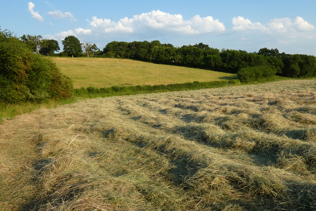
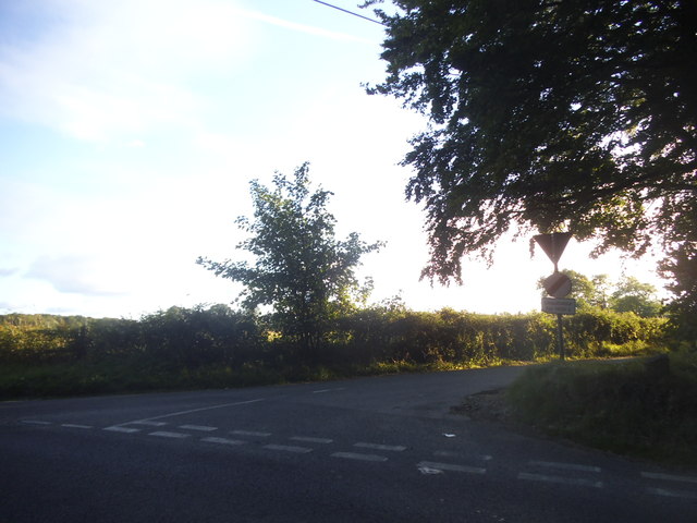
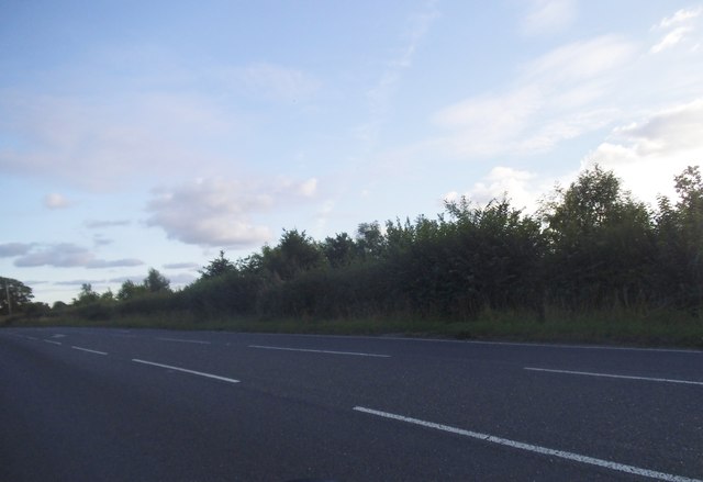
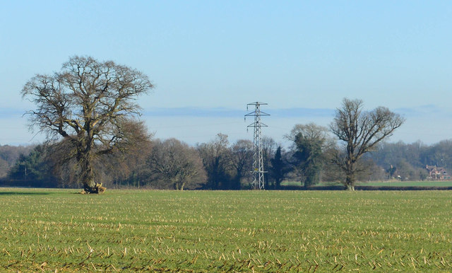
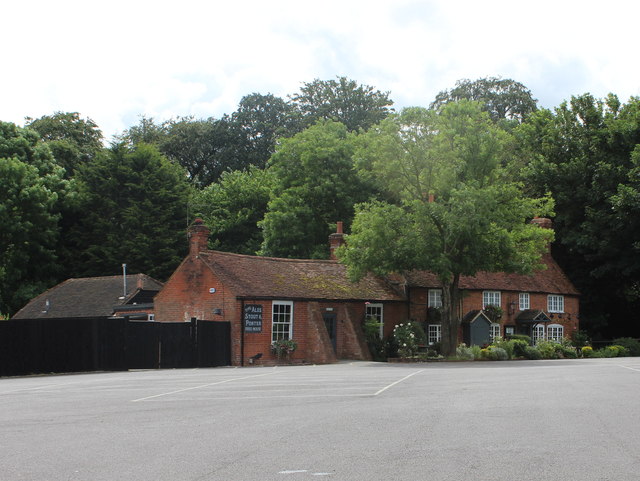
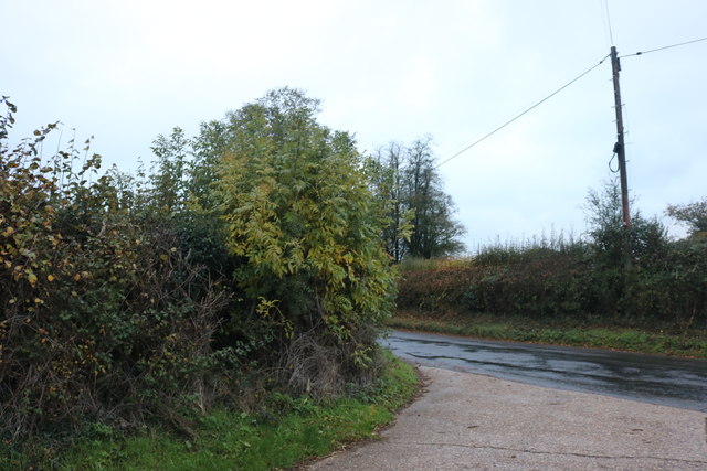
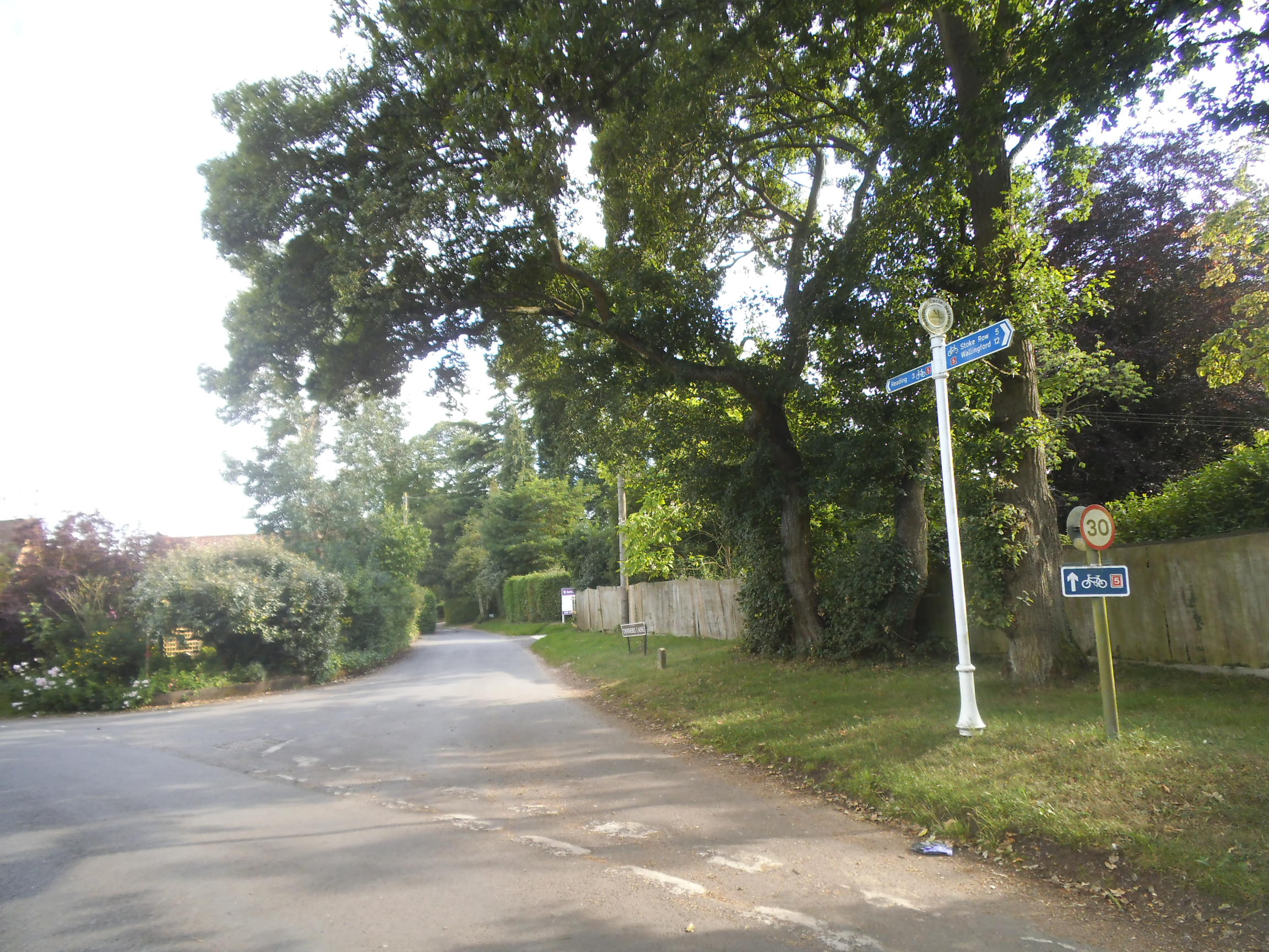
Chazey Heath is a small village located in Oxfordshire, England. Situated approximately 8 miles northwest of the city of Reading, it lies within the civil parish of Mapledurham. This rural village is nestled in the picturesque countryside, surrounded by rolling hills and lush green fields.

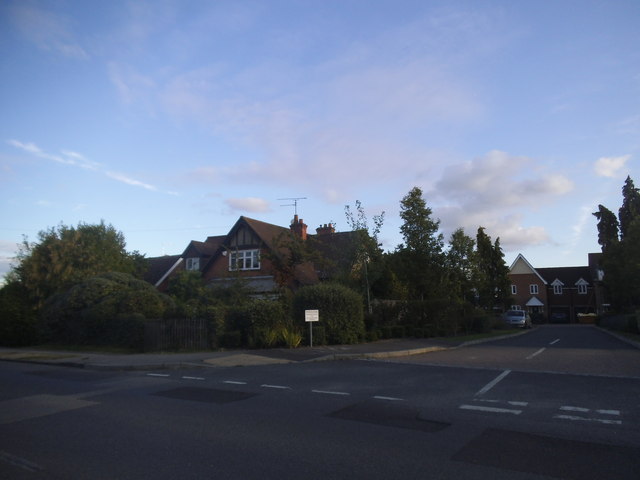
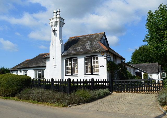
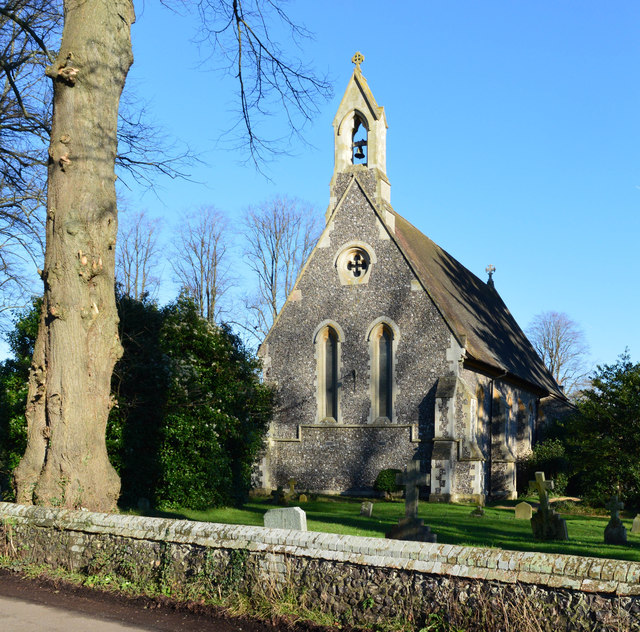
Chazey Heath is known for its tranquil and idyllic setting, making it a popular destination for those seeking a peaceful retreat away from the hustle and bustle of city life. The village is characterized by its charming cottages, many of which date back to the 18th and 19th centuries, adding to its quaint and traditional feel.

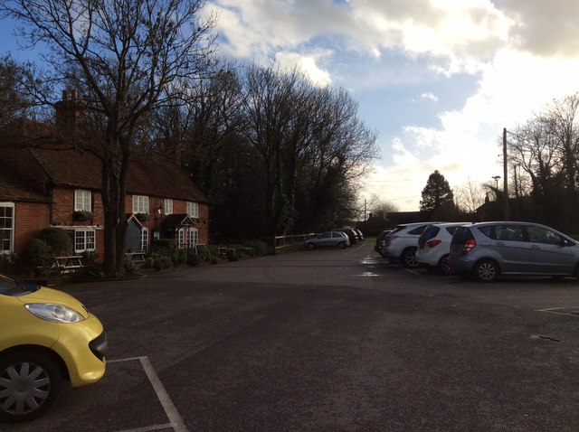
The village is home to a close-knit community, with a small population of residents who take great pride in maintaining the village's beauty and heritage. Chazey Heath benefits from its proximity to the nearby town of Caversham, which provides essential amenities such as shops, schools, and healthcare facilities.

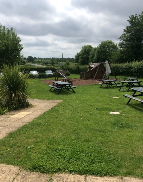
One of the highlights of Chazey Heath is its access to the River Thames, which flows nearby. This allows residents and visitors to enjoy a range of water-based activities, including boating, fishing, and riverside walks. The village also boasts several scenic walking trails, allowing visitors to explore the stunning countryside and take in the breathtaking views.

Chazey Heath offers a peaceful and serene lifestyle, making it an attractive place to reside for those seeking a rural retreat in Oxfordshire.

If you have any feedback on the listing, please let us know in the comments section below.

Chazey Heath Images

Images are sourced within 2km of 51.491435/-1.003073 or Grid Reference SU6977. Thanks to Geograph Open Source API. All images are credited.

Farmland, Kidmore End With cut hay in the dry valley between Tokers Green and Chalkhouse Green.
Farmland, Kidmore End
With cut hay in the dry valley between Tokers Green and Chalkhouse Green.
The New Inn, Kidmore End
Sheepway Lane at the junction of the A4074
Houses on Upper Woodcote Road, Caversham Heights
Little Woodcote Close at the junction of Upper Woodcote Road
The A4074, Chazey Heath
Reading Road in Green Dean Wood
The Old School, Trench Green, Oxfordshire
The Pack Horse The Pack Horse, a 17th century former farmhouse on the Mapledurham House estate <span class="nowrap"><a title="https://www.homecountiespubs.co.uk/packhorse/history/" rel="nofollow ugc noopener" href="https://www.homecountiespubs.co.uk/packhorse/history/">Link</a><img style="margin-left:2px;" alt="External link" title="External link - shift click to open in new window" src="https://s1.geograph.org.uk/img/external.png" width="10" height="10"/></span> , has now become quite a gastro pub, with an extremely long gin list.
The Pack Horse
The Pack Horse, a 17th century former farmhouse on the Mapledurham House estate LinkExternal link , has now become quite a gastro pub, with an extremely long gin list.
Farmland, Mapledurham, Oxfordshire
Church of St John the Baptist, Kidmore End, Oxfordshire 1852. By Arthur Billing. Vestry added 1894. Knapped flint with stone dressings; plain tile roof. 4-bay nave with apse. Early English style. Gabled porch to right of centre with 2-centred arched doorway with glazed C20 double door. Single lancet to each bay except paired lancet to left. Octagonal apse with lancet window to each face. 2 lancet windows to west end with quatrefoil window above. Lancet windows to south side. Vestry in similar style under catslide roof. Gabled roof to nave with hipped roof to apse. Bellcote to west end gable. Interior: Stone octagonal font with carved panels to principal faces, on marble columns with stepped base. Stone pulpit with Salviati mosaic panels to left of apse arch. Organ to right of apse arch with painted decoration to pipes. Piscina to left of altar. Sedilia to right of altar. Reredos of blind trefoil arches to three sides of the apse. Ornamental glazed faience tiles to floor of apse. Wooden truss roof to nave. Painted brick vault to apse with decorated ribs. A small church with good fittings. (Buildings of England: 0xfordshire, p.672-3).

(Source:Historic England)
Church of St John the Baptist, Kidmore End, Oxfordshire
1852. By Arthur Billing. Vestry added 1894. Knapped flint with stone dressings; plain tile roof. 4-bay nave with apse. Early English style. Gabled porch to right of centre with 2-centred arched doorway with glazed C20 double door. Single lancet to each bay except paired lancet to left. Octagonal apse with lancet window to each face. 2 lancet windows to west end with quatrefoil window above. Lancet windows to south side. Vestry in similar style under catslide roof. Gabled roof to nave with hipped roof to apse. Bellcote to west end gable. Interior: Stone octagonal font with carved panels to principal faces, on marble columns with stepped base. Stone pulpit with Salviati mosaic panels to left of apse arch. Organ to right of apse arch with painted decoration to pipes. Piscina to left of altar. Sedilia to right of altar. Reredos of blind trefoil arches to three sides of the apse. Ornamental glazed faience tiles to floor of apse. Wooden truss roof to nave. Painted brick vault to apse with decorated ribs. A small church with good fittings. (Buildings of England: 0xfordshire, p.672-3). (Source:Historic England)
Pub at Greendean This is the Packhorse pub at  Upper Woodcote Rd, Chazey Heath, Mapledurham RG4 7UG., close to Tokers Green
Pub at Greendean
This is the Packhorse pub at Upper Woodcote Rd, Chazey Heath, Mapledurham RG4 7UG., close to Tokers Green
Play area at the Pack Saddle The Pack Saddle is just down the road from the Pack Horse.  The play area, located between the car park and the outside tables, includes a Wendy house whose construction does not feature the right angle.  <span class="nowrap"><a title="http://thepacksaddle.com/" rel="nofollow ugc noopener" href="http://thepacksaddle.com/">Link</a><img style="margin-left:2px;" alt="External link" title="External link - shift click to open in new window" src="https://s1.geograph.org.uk/img/external.png" width="10" height="10"/></span>
Play area at the Pack Saddle
The Pack Saddle is just down the road from the Pack Horse. The play area, located between the car park and the outside tables, includes a Wendy house whose construction does not feature the right angle. LinkExternal link
Kidmore End church The Church of St. John the Baptist was built in 1852, and is a grade II listed building.
Kidmore End church
The Church of St. John the Baptist was built in 1852, and is a grade II listed building.
Track to Hodmore Farm
Road in Trench Green
The A4074, Chazey Heath
Show me another place!

Chazey Heath is located at Grid Ref: SU6977 (Lat: 51.491435, Lng: -1.003073)

Administrative County: Oxfordshire

District: South Oxfordshire

Police Authority: Thames Valley

What 3 Words

///puppy.lace.factories. Near Sonning Common, Oxfordshire

Related Wikis

Chazey Heath

Chazey Heath is a hamlet in Oxfordshire, England, about 3 miles (4.8 km) north of Reading, Berkshire. It is situated on the A4074 road, between Caversham...

Tokers Green

Tokers Green is a hamlet in South Oxfordshire, England, about 4 miles (6.4 km) north of Reading, Berkshire. Its village neighbours are Chazey Heath and...

Trench Green

Trench Green is a hamlet in Oxfordshire about 1 mile (1.6 km) northeast of the village of Mapledurham and about 4 miles (6.4 km) northwest of Reading in...

1947 Thames flood

The 1947 Thames flood was the most severe flood of the River Thames in the 20th century, affecting much of the Thames Valley as well as elsewhere in England...

Chalkhouse Green

Chalkhouse Green is a village in Oxfordshire, England. The village is approximately 3 miles (4.8 km) north of Reading, at an average elevation of 83 metres...

Kidmore House

Kidmore House is a Grade II* listed stately home in the village of Kidmore End, in Oxfordshire, England.It was built in 1680 and is described by Historic...

Caversham Heights (Reading ward)

Caversham Heights is an electoral ward of the Borough of Reading, in the English county of Berkshire. The ward was created by a boundary reorganisation...

Kidmore End

Kidmore End is a village and civil parish in South Oxfordshire, centred 6 miles (10 km) NNW of Reading, Berkshire, an important regional centre of commerce...

Nearby Amenities

Located within 500m of 51.491435,-1.003073
Pub
The Pack Saddle
Addr City: Mapledurham
Addr Postcode: RG4 7UD
Website: https://thepacksaddle.com/
Lat/Long: 51.4893971/-1.0002924
Turning Circle
Turning Circle: hammer
Lat/Long: 51.4919865/-1.0009583
Chazey Heath
Place: hamlet
Wikidata: Q5088685
Lat/Long: 51.4921787/-1.0014356
Bus Stop
Rokeby Drive
Bench: yes
Bin: no
Bus: yes
Lit: no
Naptan AtcoCode: 340001605CNR
Naptan Bearing: S
Naptan CommonName: Rokeby Drive
Naptan Indicator: Corner
Naptan Landmark: Bus Shelters
Naptan NaptanCode: oxfgdtmd
Naptan Street: Reading Road
Naptan Verified: no
Public Transport: platform
Shelter: yes
Source: naptan_import
Tactile Paving: no
Wheelchair: yes
Lat/Long: 51.4909477/-1.0012379
Bus Stop
Rokeby Drive
Bench: yes
Bus: yes
Departures Board: timetable
Naptan AtcoCode: 340001605OPP
Naptan Bearing: N
Naptan CommonName: Rokeby Drive
Naptan Indicator: Opposite
Naptan Landmark: Bus Shelters
Naptan NaptanCode: oxfgdtma
Naptan Street: Reading Road
Naptan Verified: no
Public Transport: platform
Shelter: yes
Source: naptan_import
Wheelchair: yes
Lat/Long: 51.4926179/-1.0019051
Power: pole
Lat/Long: 51.4953954/-1.0044739
Power: tower
Lat/Long: 51.4956759/-1.0039133
Post Box
Collection Times: Mo-Fr 09:00; Sa 07:00
Drive Through: no
Operator: Royal Mail
Ref: RG4 282D
Royal Cypher: EIIR
Royal Cypher Wikidata: Q33102113
Survey Date: 2021-12-10
Lat/Long: 51.4919086/-1.0014918
Golf: pin
Lat/Long: 51.4896974/-0.9983266
Golf: pin
Lat/Long: 51.4923018/-0.996631
Crossing
Lat/Long: 51.493032/-0.9980978
Golf: pin
Lat/Long: 51.4943422/-1.0016303
Golf: pin
Lat/Long: 51.4958105/-1.001443
Golf: pin
Lat/Long: 51.4934593/-0.9992366
Golf: pin
Lat/Long: 51.4918606/-0.9972762
Direction: 170
Generator Method: photovoltaic
Generator Output Electricity: yes
Generator Solar Modules: 14
Generator Source: solar
Generator Type: solar_photovoltaic_panel
Location: roof
Power: generator
Lat/Long: 51.4918562/-1.0009909
Direction: 170
Generator Method: photovoltaic
Generator Output Electricity: yes
Generator Solar Modules: 14
Generator Source: solar
Generator Type: solar_photovoltaic_panel
Location: roof
Power: generator
Lat/Long: 51.4918646/-1.0008936
Direction: 180
Generator Method: photovoltaic
Generator Output Electricity: yes
Generator Solar Modules: 16
Generator Source: solar
Generator Type: solar_photovoltaic_panel
Location: roof
Power: generator
Lat/Long: 51.4927813/-1.000331
The data included in this document is from www.openstreetmap.org. The data is made available under ODbL.

Have you been to Chazey Heath?

Leave your review of Chazey Heath below (or comments, questions and feedback).