Burnt Wood

Wood, Forest in Cornwall

England

Burnt Wood

Layby on the B3359 near Westpark
Layby on the B3359 near Westpark Credit: David Dixon

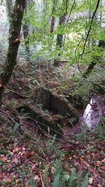
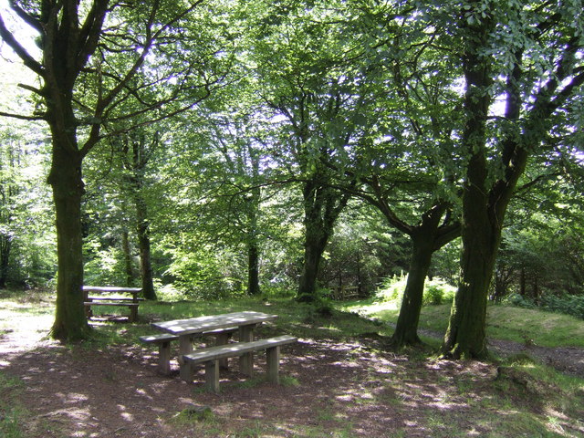
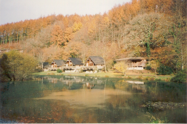
Burnt Wood is a small forest located in the county of Cornwall, England. It covers an area of approximately 100 acres and is known for its dense vegetation and tall trees. The forest is home to a variety of wildlife, including deer, squirrels, and birds.

The name "Burnt Wood" is said to have originated from a historical event where a large portion of the forest was destroyed by a fire. However, the forest has since regenerated and now boasts a lush and vibrant ecosystem.

Visitors to Burnt Wood can enjoy leisurely walks along the well-maintained trails that wind through the forest. The peaceful ambiance of the woods provides a tranquil escape from the hustle and bustle of city life.

The forest is also popular among nature enthusiasts and photographers who come to capture the beauty of the changing seasons. In the spring, the forest floor is carpeted with wildflowers, while in the autumn, the trees are ablaze with vibrant hues of red, orange, and yellow.

Overall, Burnt Wood is a serene and picturesque destination for those looking to immerse themselves in nature and explore the natural beauty of Cornwall.

If you have any feedback on the listing, please let us know in the comments section below.

Burnt Wood Images

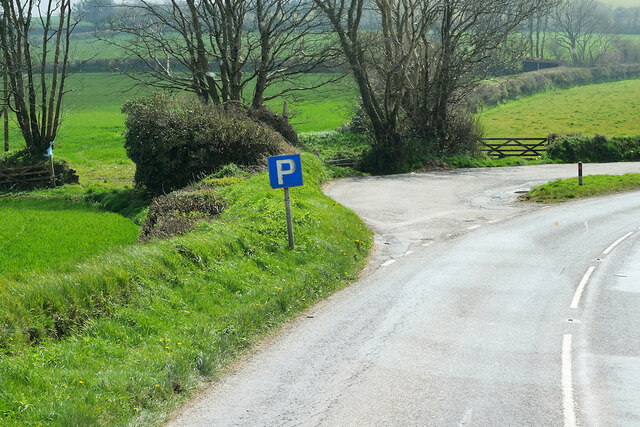
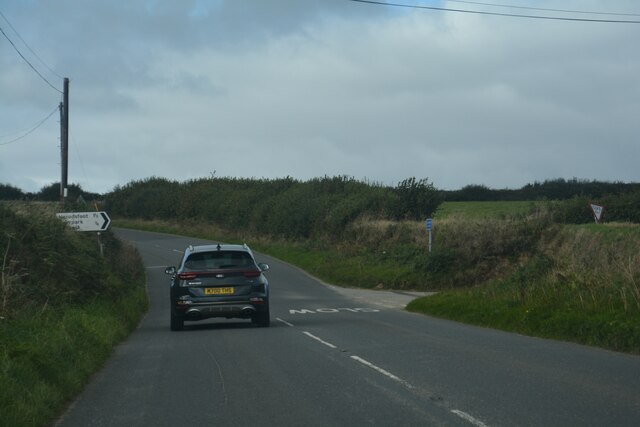
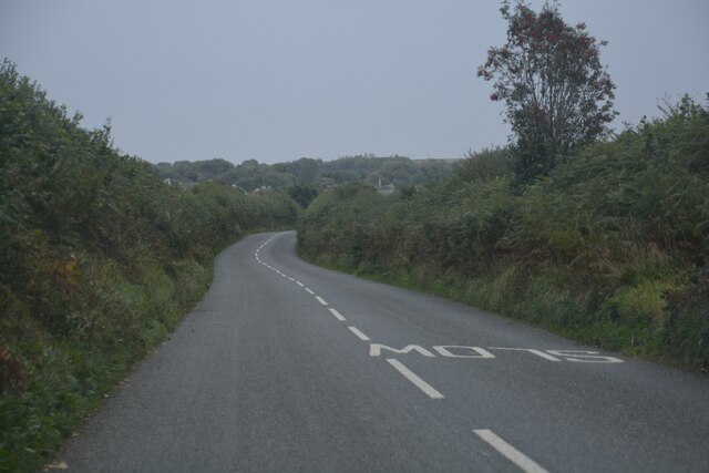
Images are sourced within 2km of 50.40894/-4.5216086 or Grid Reference SX2059. Thanks to Geograph Open Source API. All images are credited.

Layby on the B3359 near Westpark
Lanreath : B3359 Looking along the B3359.
Lanreath : B3359
Looking along the B3359.
Quarry Magazine One of the last remaining original structures at Herodsfoot Powder Mills.
Believed to be a powder magazine, built within an older quarry, and once served by a narrow-gauge rail from the mills.
Quarry Magazine
One of the last remaining original structures at Herodsfoot Powder Mills. Believed to be a powder magazine, built within an older quarry, and once served by a narrow-gauge rail from the mills.
All Saints' Church
All Saints' Church
Dunloe : Track A track heads off from the road towards Penbugle.
Dunloe : Track
A track heads off from the road towards Penbugle.
Duloe : Country Road A road heads through the Cornish countryside.
Duloe : Country Road
A road heads through the Cornish countryside.
Picnic area in Deerpark Wood A stretch of land especially noted for its rare butterflies.
Picnic area in Deerpark Wood
A stretch of land especially noted for its rare butterflies.
Farm track leading to Canakey Wood
Cattle grid in farm track to Canakey Wood
Upland grazing pasture
Typical roadside flora in Cornwall
Cornish roadside late spring flowers
Flowers and ferns flourish on this typical Cornish roadside bank
Public track through Deer Park Woods The Deer Park Woods is a favourite walking area for locals and visitors alike.
Public track through Deer Park Woods
The Deer Park Woods is a favourite walking area for locals and visitors alike.
BT mast Bury Down across the fields A view from the Deer Park road across the rural fields. The BT Mast stands out on the hill, this can be seen for many miles around here.
BT mast Bury Down across the fields
A view from the Deer Park road across the rural fields. The BT Mast stands out on the hill, this can be seen for many miles around here.
Remains of a structure in woodland at Deerpark
Herodsfoot A tiny village on the West Looe River
Herodsfoot
A tiny village on the West Looe River
Millpond and  holiday cabins, Deerpark 1992 The millpond and Forestry Commission holiday cabins in Deerpark Forest, near Herodsfoot in Cornwall. The millpond was associated with a gunpowder mill which made explosives for Cornish mines.
Millpond and holiday cabins, Deerpark 1992
The millpond and Forestry Commission holiday cabins in Deerpark Forest, near Herodsfoot in Cornwall. The millpond was associated with a gunpowder mill which made explosives for Cornish mines.
Show me another place!

Burnt Wood is located at Grid Ref: SX2059 (Lat: 50.40894, Lng: -4.5216086)

Unitary Authority: Cornwall

Police Authority: Devon and Cornwall

What 3 Words

///collects.done.hairstyle. Near Duloe, Cornwall

Nearby Locations

Trewen Wood Burnt Wood

Related Wikis

South East Cornwall (UK Parliament constituency)

South East Cornwall is a constituency represented in the House of Commons of the UK Parliament since 2010 by Sheryll Murray, a Conservative. == Boundaries... ==

Herodsfoot

Herodsfoot (Cornish: Nanshiryarth) is a village in southeast Cornwall, England, United Kingdom. It is situated approximately four miles (6 km) southwest...

Churchbridge, Cornwall

Churchbridge is a hamlet in Cornwall, England. It is a mile west of Duloe, and is situated on the West Looe River. Both banks of the river are wooded,...

Trefanny Hill

Trefanny Hill is a hamlet in the parish of Duloe, Cornwall, England, United Kingdom. The hamlet was formerly called Hille or Hill.None of the men from...

Nearby Amenities

Located within 500m of 50.40894,-4.5216086
Power: tower
Lat/Long: 50.4047701/-4.5223012
Power: tower
Lat/Long: 50.405536/-4.5195868
Power: tower
Lat/Long: 50.4066082/-4.5158
Barrier: entrance
Lat/Long: 50.408509/-4.5162982
Lower Pendruffle
Place: locality
Lat/Long: 50.4057687/-4.5228052
The data included in this document is from www.openstreetmap.org. The data is made available under ODbL.

Have you been to Burnt Wood?

Leave your review of Burnt Wood below (or comments, questions and feedback).