Treverbyn Wood
Wood, Forest in Cornwall
England
Treverbyn Wood

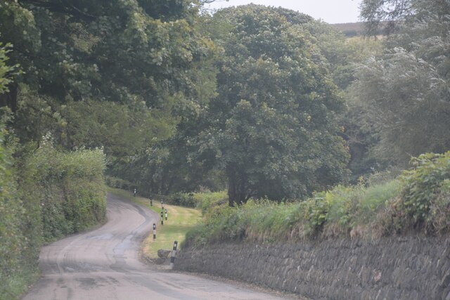
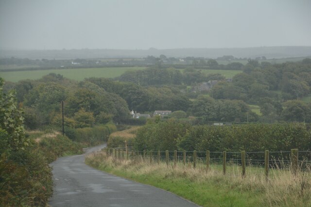
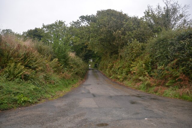
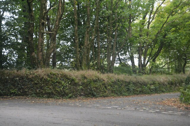
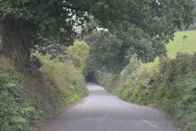
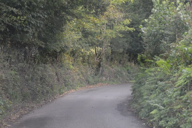
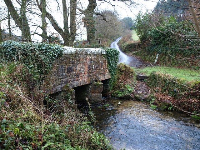
Treverbyn Wood is a picturesque woodland located in Cornwall, England. Covering an area of approximately 40 acres, this enchanting forest is nestled in the heart of the county, near the village of Treverbyn. The wood is characterized by its diverse range of native trees, including oak, beech, ash, and silver birch, which create a lush and vibrant canopy overhead.
The forest is a haven for wildlife, with an abundance of flora and fauna to discover. Visitors can expect to stumble upon carpets of bluebells in the spring, while the summer months bring an array of wildflowers and butterflies. Birdwatchers will be delighted by the various species that call Treverbyn Wood home, such as woodpeckers, nuthatches, and tawny owls.
A network of well-maintained footpaths winds its way through the wood, allowing visitors to explore the area at their own pace. These paths lead to scenic viewpoints, tranquil ponds, and hidden clearings, providing ample opportunities for relaxation and reflection. There are also designated picnic areas where visitors can enjoy a packed lunch amidst the natural beauty.
Treverbyn Wood is not only a recreational space but also an important educational resource. It offers school groups and nature enthusiasts the chance to learn about woodland ecosystems, conservation, and biodiversity through guided walks and workshops.
Overall, Treverbyn Wood is a captivating woodland that offers a peaceful escape from the hustle and bustle of everyday life. Its natural beauty, diverse wildlife, and educational opportunities make it a must-visit destination for nature lovers and outdoor enthusiasts in Cornwall.
If you have any feedback on the listing, please let us know in the comments section below.
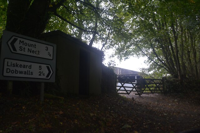
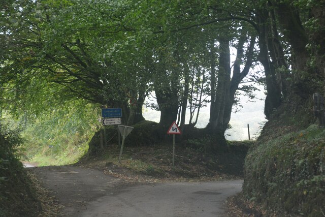
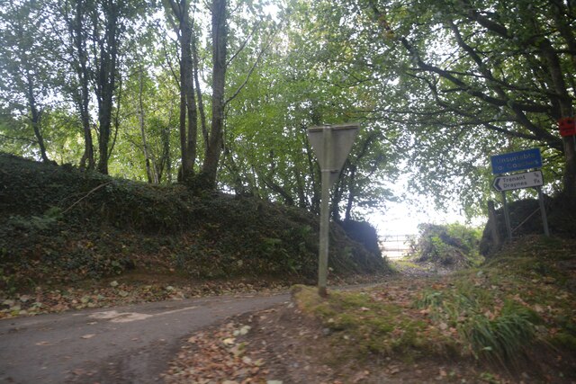
Treverbyn Wood Images
Images are sourced within 2km of 50.482003/-4.5307693 or Grid Reference SX2067. Thanks to Geograph Open Source API. All images are credited.


Treverbyn Wood is located at Grid Ref: SX2067 (Lat: 50.482003, Lng: -4.5307693)
Unitary Authority: Cornwall
Police Authority: Devon and Cornwall
What 3 Words
///rotations.feed.stormy. Near Dobwalls, Cornwall
Nearby Locations
Related Wikis

Trengale
Higher Trengale and Lower Trengale are two farming hamlets in the parish of St Cleer, Cornwall, England. It is located to the northwest of Liskeard. They...
Trenant, Cornwall
Trenant is a hamlet in the civil parish of St Neot. There was formerly a Bible Christian chapel in Trenant.There are also places called Trenant in the...
St Neot, Cornwall
St Neot ( NEE-uut) (Cornish: Loveni) is a village and civil parish in Cornwall, England, United Kingdom. The parish population at the 2011 census was 947...

Dobwalls Adventure Park
Dobwalls Adventure Park was a family-run visitor attraction in the village of Dobwalls, near Liskeard, Cornwall. Founded in 1970 by John Southern, the...
Nearby Amenities
Located within 500m of 50.482003,-4.5307693Have you been to Treverbyn Wood?
Leave your review of Treverbyn Wood below (or comments, questions and feedback).