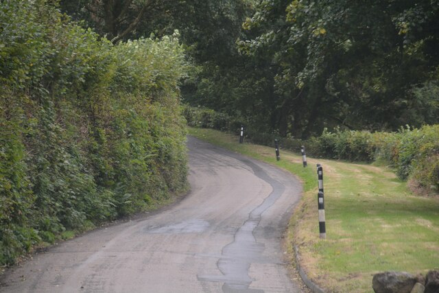
Killham Wood

Wood, Forest in Cornwall

England

Killham Wood
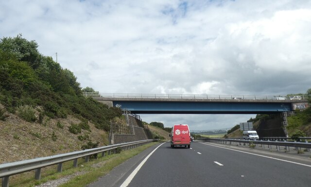
Havett Road bridge over A390
Havett Road bridge over A390 Credit: David Smith

The requested URL returned error: 429 Too Many Requests

If you have any feedback on the listing, please let us know in the comments section below.

Killham Wood Images

Images are sourced within 2km of 50.473881/-4.5319985 or Grid Reference SX2066. Thanks to Geograph Open Source API. All images are credited.

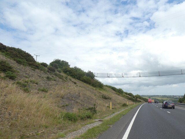
Havett Road bridge over A390
Bat bridge over A38 cutting north of Dobwalls An attempt to provide bats with a means for navigating across the road
Bat bridge over A38 cutting north of Dobwalls
An attempt to provide bats with a means for navigating across the road
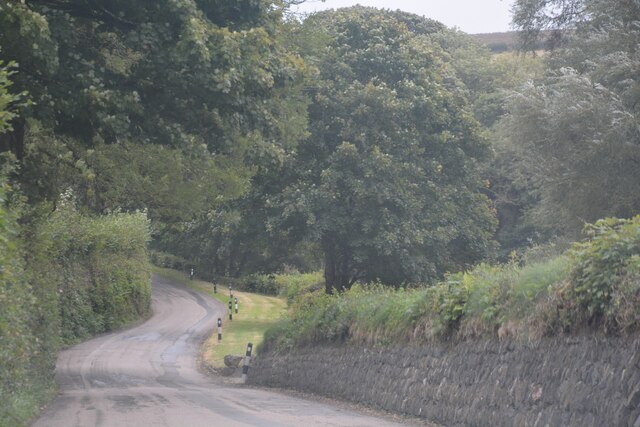
St Cleer : Country Lane A small lane heads through the countryside.
St Cleer : Country Lane
A small lane heads through the countryside.
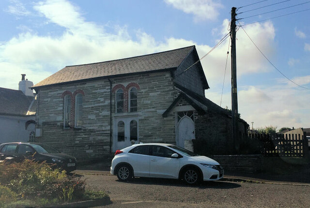
Wesley House
Wesley House
St Neot : Grassy Field A right of way heads into the field.
St Neot : Grassy Field
A right of way heads into the field.
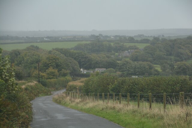
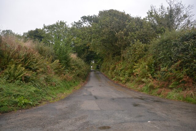
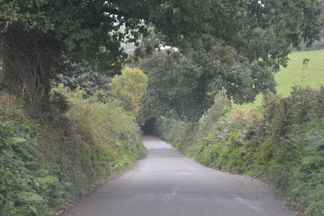
St Neot : Road Looking along a road through the countryside.
St Neot : Road
Looking along a road through the countryside.
St Neot : Road Looking along a road through the countryside.
St Neot : Road
Looking along a road through the countryside.
St Neot : Wenmouth Cross Looking along a road through the countryside.
St Neot : Wenmouth Cross
Looking along a road through the countryside.
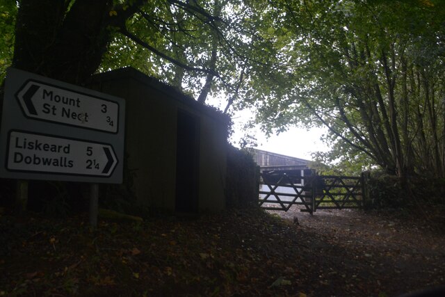
St Neot : Wenmouth Cross Looking towards the roadsign.
St Neot : Wenmouth Cross
Looking towards the roadsign.
St Neot : Road Looking along a road through the countryside.
St Neot : Road
Looking along a road through the countryside.
St Neot : Country Lane A small lane in the countryside.
St Neot : Country Lane
A small lane in the countryside.
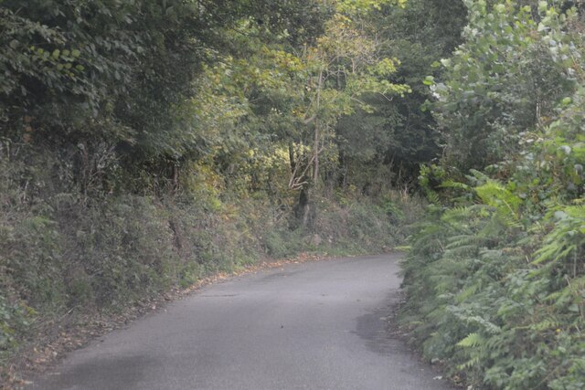
St Neot : Country Lane A small lane heads through the Cornish countryside.
St Neot : Country Lane
A small lane heads through the Cornish countryside.
St Neot : Country Lane A small lane heads through the Cornish countryside.
St Neot : Country Lane
A small lane heads through the Cornish countryside.
St Neot : Country Lane A small lane heads through the Cornish countryside.
St Neot : Country Lane
A small lane heads through the Cornish countryside.
St Cleer : Country Lane A small lane heads through the Cornish countryside.
St Cleer : Country Lane
A small lane heads through the Cornish countryside.
St Cleer : Country Lane A small lane heads through the Cornish countryside.
St Cleer : Country Lane
A small lane heads through the Cornish countryside.
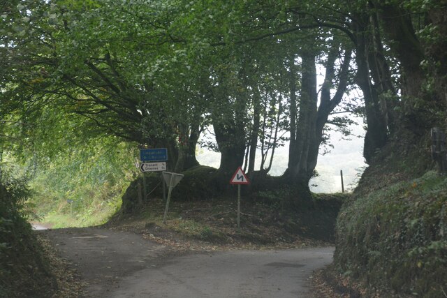
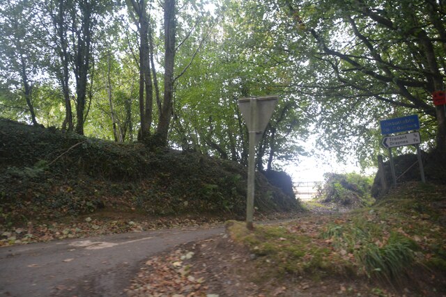
St Cleer : Country Road A road seen at the junction.
St Cleer : Country Road
A road seen at the junction.
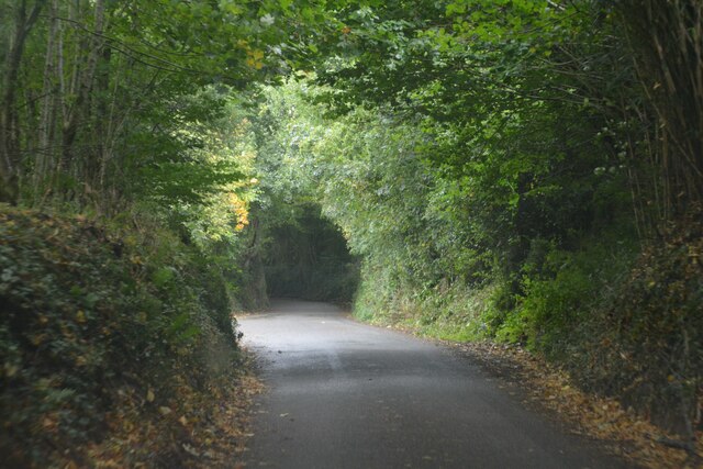
St Cleer : Country Lane A lane heads through the Cornish countryside.
St Cleer : Country Lane
A lane heads through the Cornish countryside.
Show me another place!

Killham Wood is located at Grid Ref: SX2066 (Lat: 50.473881, Lng: -4.5319985)

Unitary Authority: Cornwall

Police Authority: Devon and Cornwall

What 3 Words

///goose.saved.sublet. Near Dobwalls, Cornwall

Related Wikis

Trengale

Higher Trengale and Lower Trengale are two farming hamlets in the parish of St Cleer, Cornwall, England. It is located to the northwest of Liskeard. They...

Dobwalls Adventure Park

Dobwalls Adventure Park was a family-run visitor attraction in the village of Dobwalls, near Liskeard, Cornwall. Founded in 1970 by John Southern, the...

Ocean Rain

Ocean Rain is the fourth studio album by the English post-punk band Echo & the Bunnymen. It was released on 4 May 1984 and reached number four on the UK...

Carnglaze Caverns

Carnglaze Caverns consists of three man-made caverns formed as part of a slate quarry in the Loveny Valley, near the village of St Neot, Liskeard, Cornwall...

Have you been to Killham Wood?

Leave your review of Killham Wood below (or comments, questions and feedback).